Cascade Wood

Wood, Forest in Cheshire

England

Cascade Wood

Over Alderley and Birtles Village Hall Known locally as The Reading Room
Over Alderley and Birtles Village Hall Credit: Philip Cornwall

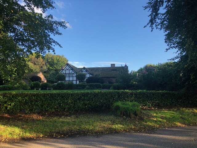
Cascade Wood is a picturesque forest located in the county of Cheshire, England. Situated near the village of Cascade, this beautiful woodland is a popular destination for nature enthusiasts and outdoor lovers alike.

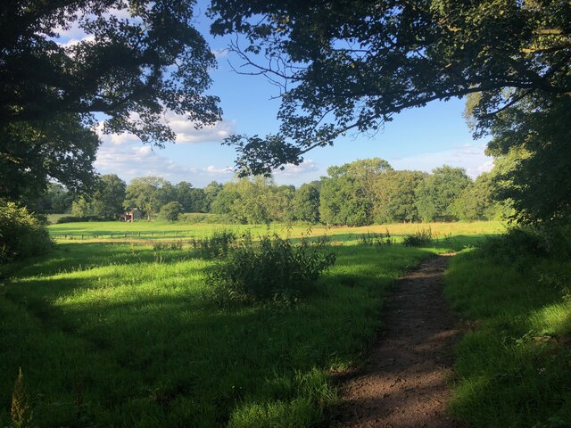
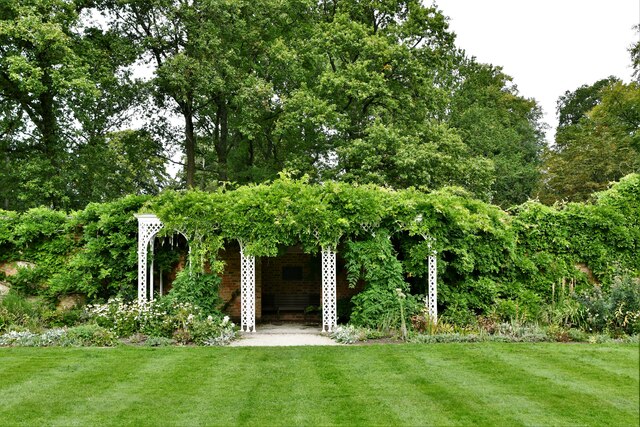
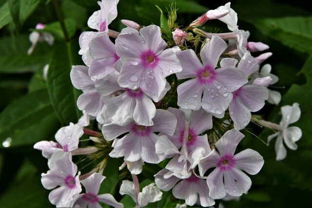
Covering an area of approximately 100 acres, Cascade Wood is characterized by its dense canopy of trees and diverse wildlife. The forest is predominantly composed of deciduous trees such as oak, beech, and ash, which create a stunning display of colors during the autumn months. The woodland floor is covered with a variety of wildflowers, ferns, and mosses, adding to its natural beauty.

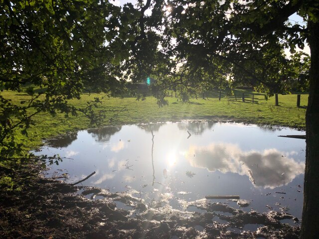
One of the highlights of Cascade Wood is its enchanting waterfall, from which it derives its name. The cascade, formed by a small stream, adds a touch of magic to the already idyllic landscape. Visitors can enjoy the soothing sound of water as it tumbles down the rocks and creates a serene atmosphere.

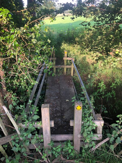
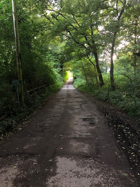
The forest boasts a network of well-maintained walking trails, allowing visitors to explore the woodland at their own pace. These trails offer stunning views of the surrounding countryside, making it an ideal spot for hiking, jogging, or simply enjoying a leisurely stroll. Birdwatchers will also delight in the variety of bird species that call Cascade Wood their home, including woodpeckers, warblers, and owls.

Cascade Wood provides a peaceful retreat from the hustle and bustle of everyday life, offering visitors the chance to reconnect with nature and enjoy the tranquility of the forest. With its natural beauty, diverse wildlife, and captivating waterfall, it is no wonder that Cascade Wood is a cherished gem in the heart of Cheshire.

If you have any feedback on the listing, please let us know in the comments section below.
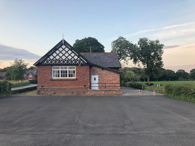
Cascade Wood Images

Images are sourced within 2km of 53.295325/-2.1889377 or Grid Reference SJ8777. Thanks to Geograph Open Source API. All images are credited.

Over Alderley and Birtles Village Hall Known locally as The Reading Room
Over Alderley and Birtles Village Hall
Known locally as The Reading Room
Footpath north of Mottram St. Andrew This footpath connects Wilmslow Old Road and Blackhurst Brow (A538)
Footpath north of Mottram St. Andrew
This footpath connects Wilmslow Old Road and Blackhurst Brow (A538)
Small pool in field near Higher House Farm Not a permanent feature marked on map, so probably a result of recent heavy rain.
Small pool in field near Higher House Farm
Not a permanent feature marked on map, so probably a result of recent heavy rain.
Footbridge on path connecting Old Wilmslow Road to A538 North of Mottram St. Andrew A very well-constructed sturdy footbridge crossing a small stream
Footbridge on path connecting Old Wilmslow Road to A538 North of Mottram St. Andrew
A very well-constructed sturdy footbridge crossing a small stream
Mottram Old Hall A Manor House of late Medieval origin. Grade II listed building, see linked entry on the Historic England website <span class="nowrap"><a title="https://historicengland.org.uk/listing/the-list/list-entry/1138842" rel="nofollow ugc noopener" href="https://historicengland.org.uk/listing/the-list/list-entry/1138842">Link</a><img style="margin-left:2px;" alt="External link" title="External link - shift click to open in new window" src="https://s1.geograph.org.uk/img/external.png" width="10" height="10"/></span>
Mottram Old Hall
A Manor House of late Medieval origin. Grade II listed building, see linked entry on the Historic England website LinkExternal link
Smithy Lane, Mottram St. Andrew
Signpost at junction of Oak Road and Priest Lane, Mottram St Andrew These images are from <span class="nowrap"><a title="http://www.milestonesociety.co.uk/" rel="nofollow ugc noopener" href="http://www.milestonesociety.co.uk/">Link</a><img style="margin-left:2px;" alt="External link" title="External link - shift click to open in new window" src="https://s1.geograph.org.uk/img/external.png" width="10" height="10"/></span>
Signpost at junction of Oak Road and Priest Lane, Mottram St Andrew
These images are from LinkExternal link
Hare Hill (National Trust): Car park and entrance
Hare Hill (National Trust): Sculpture in the Walled Garden
Hare Hill (National Trust): Covered seating area in the Walled Garden
Hare Hill (National Trust): Sculpture in the Walled Garden
Hare Hill (National Trust): View from the covered seating area in the Walled Garden
Hare Hill (National Trust): Clematis  in the Walled Garden
Hare Hill (National Trust): Clematis in the Walled Garden
Hare Hill (National Trust): 'Phlox paniculata'  in the Walled Garden
Hare Hill (National Trust): 'Phlox paniculata' in the Walled Garden
Hare Hill (National Trust): Second hand books sold using a 'suggested donation' system
Hare Hill (National Trust): Small greenhouse
Hare Hill (National Trust): Bird hide looking out over a large number of bird feeders
Show me another place!

Cascade Wood is located at Grid Ref: SJ8777 (Lat: 53.295325, Lng: -2.1889377)

Unitary Authority: Cheshire East

Police Authority: Cheshire

What 3 Words

///hothouse.dustbin.cadet. Near Mottram St Andrew, Cheshire

Related Wikis

Mottram St Andrew

Mottram St Andrew is a village and civil parish in Cheshire, England. At the 2011 census, it had a population of 493. An affluent village in the Cheshire...

Hare Hill

Hare Hill Hall is a country house and a garden in the parish of Over Alderley, Cheshire, England. The house and grounds are privately owned, and the separate...

Legh Hall

Legh Hall stands to the east of the village of Mottram St Andrew, Cheshire, England. It was built in the middle of the 18th century for William Brocklehurst...

Legh Old Hall

Legh Old Hall stands to the east of the village of Mottram St Andrew, Cheshire, England. It was built in the later part of the 16th century, with rebuilding...

Over Alderley

Over Alderley is a civil parish in Cheshire, England. It had a population of 318 at the 2011 Census.It includes the hamlets of Adders Moss, Adshead Green...

Alderley Edge Mines

The Alderley Edge Mines are located on the escarpment in Alderley Edge, Cheshire. Archaeological evidence indicates that copper mining took place here...

Geology of Alderley Edge

One of the classic locations for the study of Triassic sandstones in the UK is at Alderley Edge in Cheshire. Numerous scientists from the early 19th century...

Normans Hall

Normans Hall is a Tudor house which stands to the southwest of the village of Prestbury, Cheshire, England. It is an L-shaped house, the south range dating...

Nearby Amenities

Located within 500m of 53.295325,-2.1889377
Barrier: stile
Lat/Long: 53.2931074/-2.1934043
Barrier: stile
Lat/Long: 53.2931051/-2.1931906
Barrier: cycle_barrier
Lat/Long: 53.2932836/-2.1920557
Barrier: stile
Lat/Long: 53.2967845/-2.1905869
Barrier: stile
Lat/Long: 53.2937957/-2.1902196
Barrier: stile
Lat/Long: 53.2944608/-2.1878266
Barrier: stile
Lat/Long: 53.2974331/-2.1868622
Barrier: stile
Lat/Long: 53.2962745/-2.1855577
Barrier: stile
Lat/Long: 53.2964288/-2.1828686
Turner House Farm
Place: farm
Lat/Long: 53.295273/-2.1854423
Goosegreen Farm
Place: farm
Lat/Long: 53.2964111/-2.1876684
Danielhill Wood
Natural: wood
Lat/Long: 53.2941473/-2.1949546
The data included in this document is from www.openstreetmap.org. The data is made available under ODbL.

Have you been to Cascade Wood?

Leave your review of Cascade Wood below (or comments, questions and feedback).