Daniel Hill

Hill, Mountain in Cheshire

England

Daniel Hill

Over Alderley and Birtles Village Hall Known locally as The Reading Room
Over Alderley and Birtles Village Hall Credit: Philip Cornwall

Daniel Hill is a prominent hill located in the county of Cheshire, England. It is part of the Peak District National Park and stands at an elevation of approximately 1,065 feet (325 meters) above sea level. The hill offers a stunning panoramic view of the surrounding countryside, making it a popular spot for locals and tourists alike.

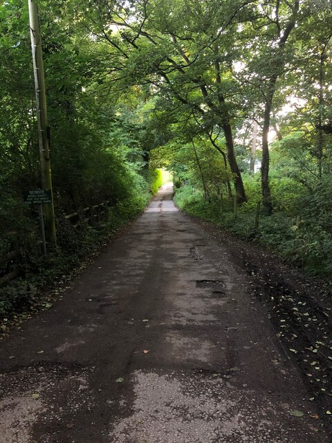
As one of Cheshire's highest points, Daniel Hill is a prominent landmark within the region. It is situated near the village of Rainow and is easily accessible by foot or through various walking trails. The hill's summit is marked by a trig point, providing a reference point for surveying and navigation purposes.

The landscape around Daniel Hill is characterized by rolling hills, green pastures, and picturesque farmland. The area is home to a diverse range of flora and fauna, including various species of birds, mammals, and plants. The hill itself is covered in grass and heather, adding to its natural beauty.

Hikers and outdoor enthusiasts are drawn to Daniel Hill for its breathtaking views and the opportunity to explore the surrounding countryside. The hill provides a peaceful and tranquil setting, making it an ideal location for walking, picnicking, or simply enjoying nature. Additionally, the hill is known for its challenging terrain, attracting avid climbers and trail runners.

Overall, Daniel Hill in Cheshire offers a delightful escape from the hustle and bustle of city life, providing visitors with a chance to immerse themselves in the beauty of the English countryside.

If you have any feedback on the listing, please let us know in the comments section below.
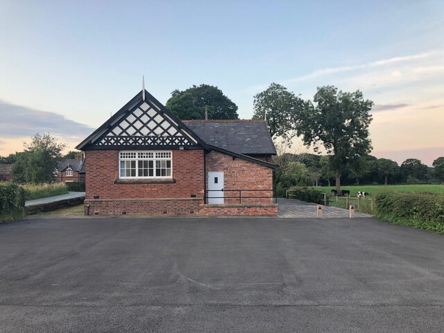
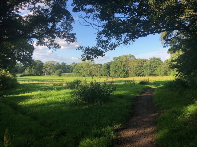
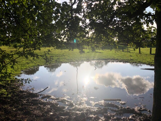
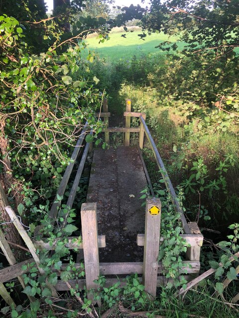
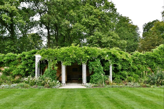
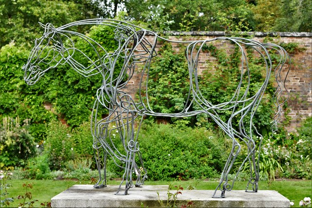
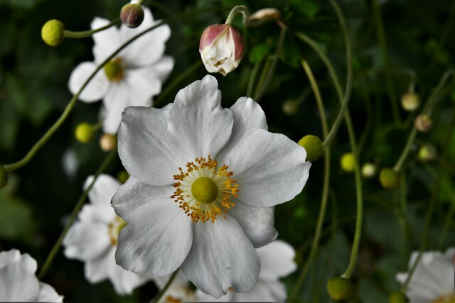
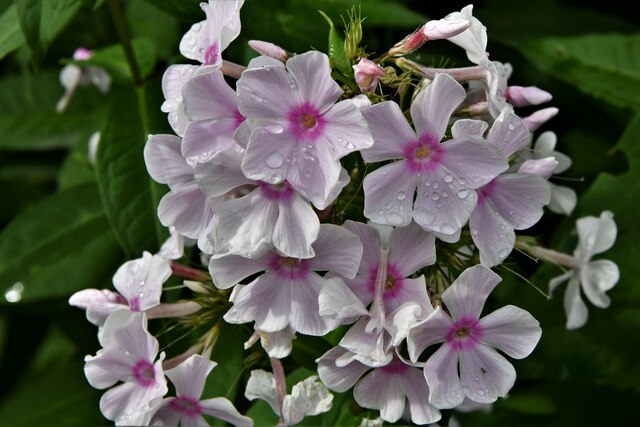
Daniel Hill Images

Images are sourced within 2km of 53.294542/-2.1951004 or Grid Reference SJ8777. Thanks to Geograph Open Source API. All images are credited.

Over Alderley and Birtles Village Hall Known locally as The Reading Room
Over Alderley and Birtles Village Hall
Known locally as The Reading Room
Footpath north of Mottram St. Andrew This footpath connects Wilmslow Old Road and Blackhurst Brow (A538)
Footpath north of Mottram St. Andrew
This footpath connects Wilmslow Old Road and Blackhurst Brow (A538)
Small pool in field near Higher House Farm Not a permanent feature marked on map, so probably a result of recent heavy rain.
Small pool in field near Higher House Farm
Not a permanent feature marked on map, so probably a result of recent heavy rain.
Footbridge on path connecting Old Wilmslow Road to A538 North of Mottram St. Andrew A very well-constructed sturdy footbridge crossing a small stream
Footbridge on path connecting Old Wilmslow Road to A538 North of Mottram St. Andrew
A very well-constructed sturdy footbridge crossing a small stream
Smithy Lane, Mottram St. Andrew
Signpost at junction of Oak Road and Priest Lane, Mottram St Andrew These images are from <span class="nowrap"><a title="http://www.milestonesociety.co.uk/" rel="nofollow ugc noopener" href="http://www.milestonesociety.co.uk/">Link</a><img style="margin-left:2px;" alt="External link" title="External link - shift click to open in new window" src="https://s1.geograph.org.uk/img/external.png" width="10" height="10"/></span>
Signpost at junction of Oak Road and Priest Lane, Mottram St Andrew
These images are from LinkExternal link
Hare Hill (National Trust): Car park and entrance
Hare Hill (National Trust): Sculpture in the Walled Garden
Hare Hill (National Trust): Covered seating area in the Walled Garden
Hare Hill (National Trust): Sculpture in the Walled Garden
Hare Hill (National Trust): View from the covered seating area in the Walled Garden
Hare Hill (National Trust): Clematis  in the Walled Garden
Hare Hill (National Trust): Clematis in the Walled Garden
Hare Hill (National Trust): 'Phlox paniculata'  in the Walled Garden
Hare Hill (National Trust): 'Phlox paniculata' in the Walled Garden
Hare Hill (National Trust): Second hand books sold using a 'suggested donation' system
Hare Hill (National Trust): Small greenhouse
Hare Hill (National Trust): Bird hide looking out over a large number of bird feeders
Hare Hill (National Trust): Lake covered in green algae
Show me another place!

Daniel Hill is located at Grid Ref: SJ8777 (Lat: 53.294542, Lng: -2.1951004)

Unitary Authority: Cheshire East

Police Authority: Cheshire

What 3 Words

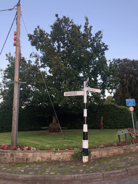
///walked.mended.segregate. Near Mottram St Andrew, Cheshire

Related Wikis

Hare Hill

Hare Hill Hall is a country house and a garden in the parish of Over Alderley, Cheshire, England. The house and grounds are privately owned, and the separate...

Mottram St Andrew

Mottram St Andrew is a village and civil parish in Cheshire, England. At the 2011 census, it had a population of 493. An affluent village in the Cheshire...

Alderley Edge Mines

The Alderley Edge Mines are located on the escarpment in Alderley Edge, Cheshire. Archaeological evidence indicates that copper mining took place here...

Over Alderley

Over Alderley is a civil parish in Cheshire, England. It had a population of 318 at the 2011 Census.It includes the hamlets of Adders Moss, Adshead Green...

Geology of Alderley Edge

One of the classic locations for the study of Triassic sandstones in the UK is at Alderley Edge in Cheshire. Numerous scientists from the early 19th century...

Legh Hall

Legh Hall stands to the east of the village of Mottram St Andrew, Cheshire, England. It was built in the middle of the 18th century for William Brocklehurst...

Legh Old Hall

Legh Old Hall stands to the east of the village of Mottram St Andrew, Cheshire, England. It was built in the later part of the 16th century, with rebuilding...

Normans Hall

Normans Hall is a Tudor house which stands to the southwest of the village of Prestbury, Cheshire, England. It is an L-shaped house, the south range dating...

Nearby Amenities

Located within 500m of 53.294542,-2.1951004
Barrier: stile
Lat/Long: 53.2931074/-2.1934043
Barrier: stile
Lat/Long: 53.2931051/-2.1931906
Barrier: cycle_barrier
Lat/Long: 53.2932836/-2.1920557
Barrier: kissing_gate
Lat/Long: 53.2955351/-2.1974491
Barrier: stile
Lat/Long: 53.2963123/-2.1991976
Barrier: kissing_gate
Lat/Long: 53.2967943/-2.1987791
Barrier: kissing_gate
Lat/Long: 53.2978412/-2.1976521
Barrier: stile
Lat/Long: 53.2954161/-2.1972983
Barrier: kissing_gate
Lat/Long: 53.2938824/-2.2005013
Barrier: kissing_gate
Lat/Long: 53.2957936/-2.2000892
Barrier: stile
Lat/Long: 53.2948441/-2.2024562
Barrier: stile
Lat/Long: 53.2947935/-2.2023583
Barrier: stile
Lat/Long: 53.2967845/-2.1905869
Barrier: stile
Lat/Long: 53.2937957/-2.1902196
Barrier: stile
Lat/Long: 53.2944608/-2.1878266
Danielhill Wood
Natural: wood
Lat/Long: 53.2941473/-2.1949546
Barrier: stile
Lat/Long: 53.295339/-2.2010766
Barrier: stile
Lat/Long: 53.2956597/-2.2005024
The data included in this document is from www.openstreetmap.org. The data is made available under ODbL.

Have you been to Daniel Hill?

Leave your review of Daniel Hill below (or comments, questions and feedback).