Buckley Wood

Wood, Forest in Lancashire Burnley

England

Buckley Wood

Old Boundary Marker on Bacup Old Road Municipal Boundary Marker on the east side of Bacup Old Road, southeast of its junction with the A671 Burnley Road. On the boundary of Cliviger parish and the former Newchurch parish. One of a series marking the boundary of Bacup Borough.

Milestone Society National ID: LA_BACCLI02pb
Old Boundary Marker on Bacup Old Road Credit: C Chatham

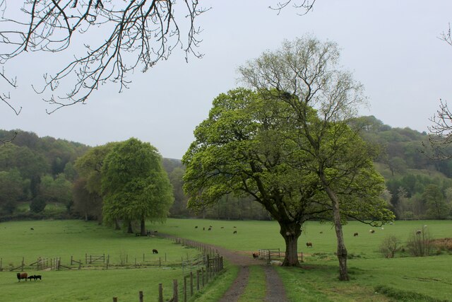
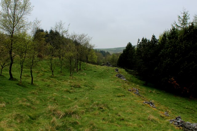
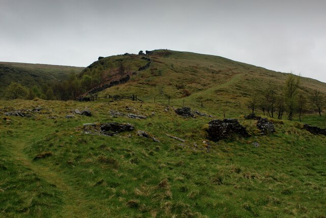
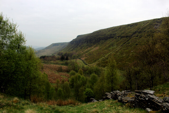
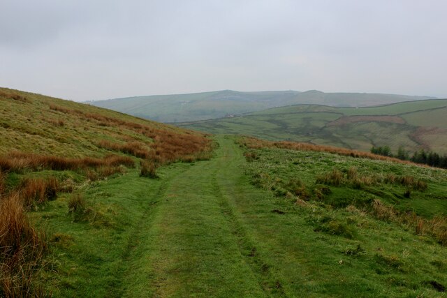
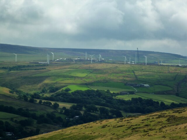
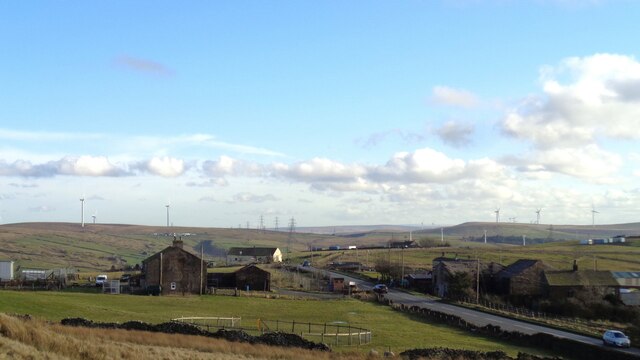
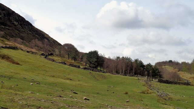
Buckley Wood is a picturesque woodland located in Lancashire, England. The wood is situated within the larger Forest of Bowland Area of Outstanding Natural Beauty, renowned for its stunning landscapes and rich biodiversity. Buckley Wood covers an area of approximately 100 hectares and is primarily composed of native broadleaf trees such as oak, birch, and beech.

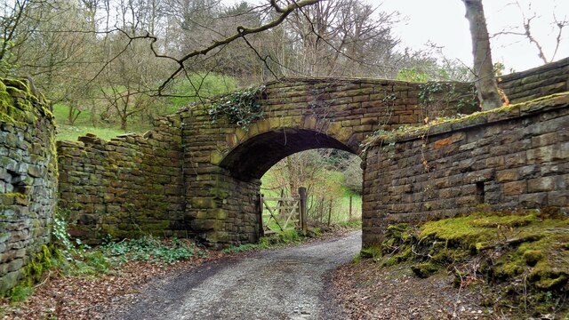
The wood is accessible via a network of well-maintained footpaths, making it popular among hikers, nature enthusiasts, and families looking for a peaceful outdoor retreat. The diverse range of flora and fauna found within Buckley Wood makes it a haven for wildlife, with sightings of deer, squirrels, and a variety of bird species being common.

As visitors explore the wood, they will come across a tranquil stream that meanders through the trees, offering a soothing ambiance and providing a source of water for the local wildlife. The stream is also home to a number of aquatic species, including trout and freshwater insects.

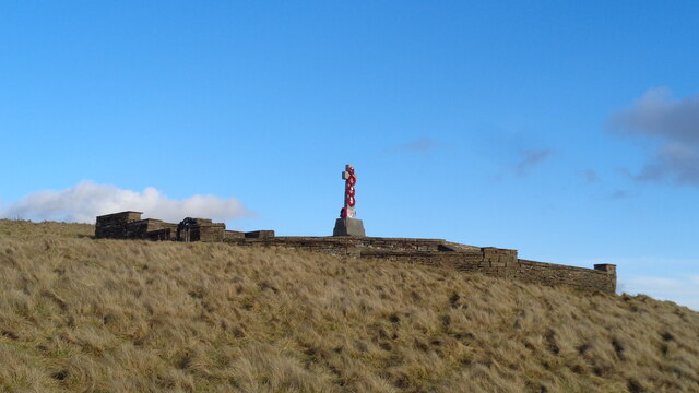
Buckley Wood offers a serene atmosphere, with the soft rustling of leaves and birdsong creating a sense of calm and tranquility. The wood is especially captivating during the autumn months, as the vibrant colors of the changing leaves create a breathtaking spectacle.

Overall, Buckley Wood provides a unique opportunity to immerse oneself in the natural beauty of Lancashire's woodlands. With its diverse wildlife, well-maintained trails, and serene atmosphere, it is a must-visit destination for those seeking a peaceful retreat in nature.

If you have any feedback on the listing, please let us know in the comments section below.
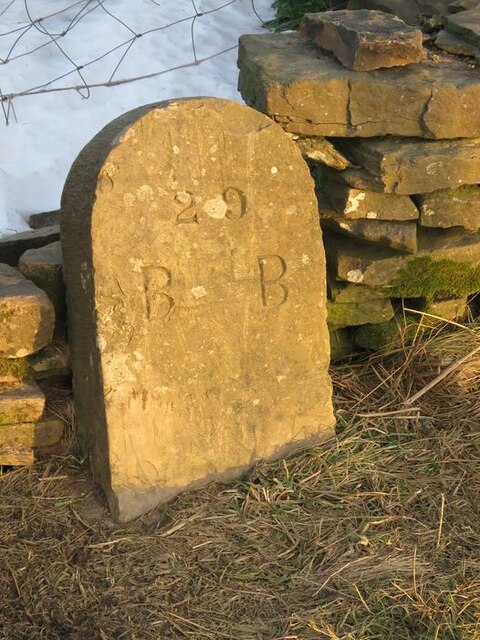
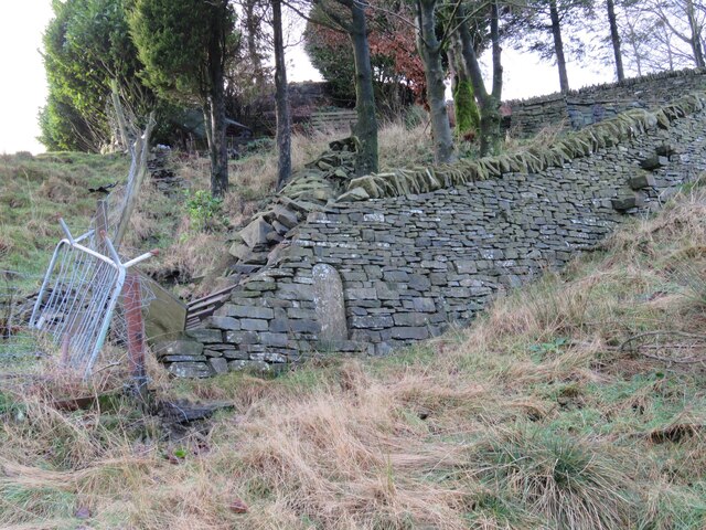
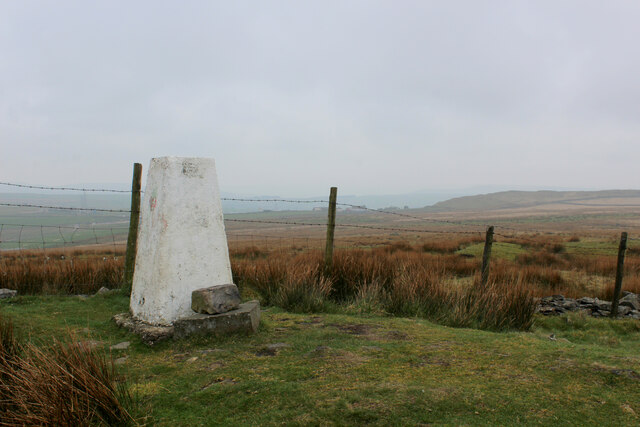
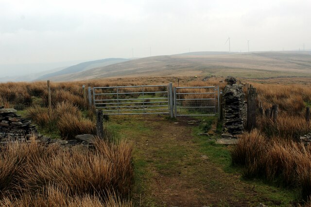
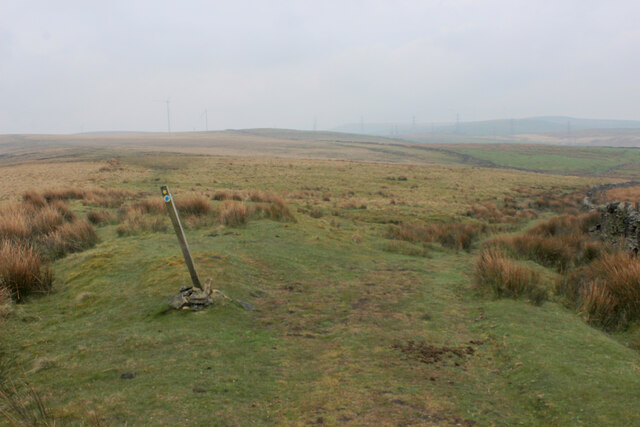
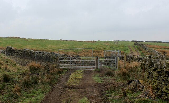
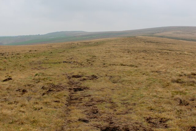
Buckley Wood Images

Images are sourced within 2km of 53.747743/-2.1909946 or Grid Reference SD8727. Thanks to Geograph Open Source API. All images are credited.

Old Boundary Marker on Bacup Old Road Municipal Boundary Marker on the east side of Bacup Old Road, southeast of its junction with the A671 Burnley Road. On the boundary of Cliviger parish and the former Newchurch parish. One of a series marking the boundary of Bacup Borough.

Milestone Society National ID: LA_BACCLI02pb
Old Boundary Marker on Bacup Old Road
Municipal Boundary Marker on the east side of Bacup Old Road, southeast of its junction with the A671 Burnley Road. On the boundary of Cliviger parish and the former Newchurch parish. One of a series marking the boundary of Bacup Borough. Milestone Society National ID: LA_BACCLI02pb
Old Boundary Marker west of Burnley Road Municipal Boundary Marker set in a drystone wall beside the disused tramway of Deerplay Colliery, 75 metres west of the B671 Burnley Road. On the boundary of Cliviger parish and the former Newchurch parish. One of a series marking the boundary of Bacup Borough. Inscribed 31 / B B.

Milestone Society National ID: LA_BACCLI03pb
Old Boundary Marker west of Burnley Road
Municipal Boundary Marker set in a drystone wall beside the disused tramway of Deerplay Colliery, 75 metres west of the B671 Burnley Road. On the boundary of Cliviger parish and the former Newchurch parish. One of a series marking the boundary of Bacup Borough. Inscribed 31 / B B. Milestone Society National ID: LA_BACCLI03pb
Track heading towards Buckley Wood Public footpath from A646 south of Holme Chapel leading to Buckley Wood over the River Calder
Track heading towards Buckley Wood
Public footpath from A646 south of Holme Chapel leading to Buckley Wood over the River Calder
Trig Point on Thieveley Pike Highest point on Deerplay Moor at 449 metres.
The trig point now supports a fresh coat of white paint.
Trig Point on Thieveley Pike
Highest point on Deerplay Moor at 449 metres. The trig point now supports a fresh coat of white paint.
Footpath on the Southern Edge of Buckley Wood Woods on the flanks of Deerplay Moor
Footpath on the Southern Edge of Buckley Wood
Woods on the flanks of Deerplay Moor
Burnley Way ascending Deerplay Moor The long distance footpath climbs steeply beside Dean Scout
Burnley Way ascending Deerplay Moor
The long distance footpath climbs steeply beside Dean Scout
Flanks of Thieveley Scout
Grass Track on the Flanks of Deerplay Moor
Burnley Way heading South East towards Heald Moor Following the ridge from Deerplay Moor to Heald Moor on a misty morning
Burnley Way heading South East towards Heald Moor
Following the ridge from Deerplay Moor to Heald Moor on a misty morning
Fork in the Paths on Heald Moor The Burnley Way runs straight ahead over the moor, while a bridleway veers to right beside the wall towards the village of Weir
Fork in the Paths on Heald Moor
The Burnley Way runs straight ahead over the moor, while a bridleway veers to right beside the wall towards the village of Weir
Bridleway on the Edge of Heald Moor
Burnley Way heading North West on Heald Moor The long distance footpath keeps mainly to the broad ridge across Heald Moor
Burnley Way heading North West on Heald Moor
The long distance footpath keeps mainly to the broad ridge across Heald Moor
Coal Clough Wind Farm Redevelopment View from the Singing Ringing Tree of the renewal of the wind farm with larger turbines
Coal Clough Wind Farm Redevelopment
View from the Singing Ringing Tree of the renewal of the wind farm with larger turbines
Weir and District War Memorial On Deerplay Hill
Weir and District War Memorial
On Deerplay Hill
Farms on Burnley Road View towards Bacup from Weir War Memorial on Deerplay Hill
Farms on Burnley Road
View towards Bacup from Weir War Memorial on Deerplay Hill
Railway Bridge at Calder Head Used by the farmer to store baled sileage. Thieveley Scout is beyond the railway
Railway Bridge at Calder Head
Used by the farmer to store baled sileage. Thieveley Scout is beyond the railway
Track to Millennium Wood (Thieveley) An indistinct footpath to the gate for the wood on the flank of Thieveley Scout
Track to Millennium Wood (Thieveley)
An indistinct footpath to the gate for the wood on the flank of Thieveley Scout
Former Private Footbridge The footbridge gave access to Holmes Chapel railway station for the owners of the large house The Holme. The path from The Holme has already come through an underpass under the main road and another under the railway to reach this bridge
Former Private Footbridge
The footbridge gave access to Holmes Chapel railway station for the owners of the large house The Holme. The path from The Holme has already come through an underpass under the main road and another under the railway to reach this bridge
Show me another place!

Buckley Wood is located at Grid Ref: SD8727 (Lat: 53.747743, Lng: -2.1909946)

Administrative County: Lancashire

District: Burnley

Police Authority: Lancashire

What 3 Words

///giggles.martini.passenger. Near Cornholme, West Yorkshire

Related Wikis

Holme railway station (Lancashire)

Holme railway station served Holme Chapel on the Copy Pit line. The station closed in July 1930 and the line now serves as a non-stop route between Hebden...

Holme Hall, Cliviger

Holme Hall (or The Holme) is a Grade II* listed manor house in Cliviger near Burnley, in Lancashire, England. The house dates back to at least the 15th...

Church of St John the Divine, Holme Chapel

The Church of St John the Divine is in Burnley Road, Holme Chapel, a village in the civil parish of Cliviger, near Burnley, Lancashire, England. It is...

Cliviger

Cliviger is a civil parish in the Borough of Burnley, in Lancashire, England. It is situated to the southeast of Burnley, and northwest of Todmorden....

Nearby Amenities

Located within 500m of 53.747743,-2.1909946
Leisure: picnic_table
Note: not a great view from here, try higher up
Lat/Long: 53.7466191/-2.1931974
Historic: milestone
Lat/Long: 53.7513333/-2.1874152
The data included in this document is from www.openstreetmap.org. The data is made available under ODbL.

Have you been to Buckley Wood?

Leave your review of Buckley Wood below (or comments, questions and feedback).