Alley Wood

Wood, Forest in Northumberland

England

Alley Wood

Langhope Farm Farm track to Langhope Farm
Langhope Farm Credit: P Gaskell

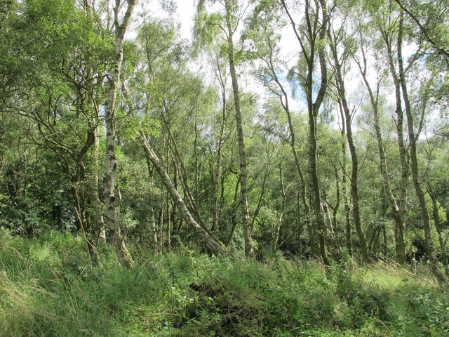
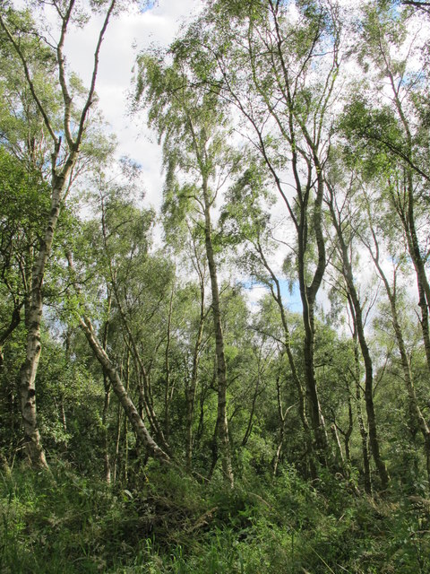
Alley Wood is a picturesque woodland located in the county of Northumberland, England. Covering an area of approximately 100 acres, it is renowned for its natural beauty and tranquil atmosphere. Situated near the village of Alnwick, Alley Wood is easily accessible and attracts visitors from both near and far.

The woodland is predominantly composed of a mix of broadleaf trees, including oak, beech, and ash, which create a diverse and rich ecosystem. The dense canopy of foliage provides a haven for numerous bird species, such as woodpeckers and owls, making it a popular spot for birdwatching enthusiasts.

Walking trails wind their way through Alley Wood, inviting visitors to explore the serene surroundings. The paths are well-maintained and suitable for all ages and abilities, offering the opportunity to immerse oneself in nature and enjoy the peaceful ambiance. Along the trails, visitors may be lucky enough to spot woodland creatures like squirrels, rabbits, and deer.

Alley Wood is also home to an abundance of wildflowers, which carpet the forest floor during the spring and summer months. The vibrant colors and fragrant scents add to the enchanting experience, making it a haven for nature lovers and photographers alike.

Visitors to Alley Wood can enjoy a picnic in one of the designated areas, or simply find a secluded spot to relax and soak in the serene surroundings. With its unspoiled beauty and diverse wildlife, Alley Wood is a must-visit destination for those seeking peace and tranquility in the heart of Northumberland.

If you have any feedback on the listing, please let us know in the comments section below.
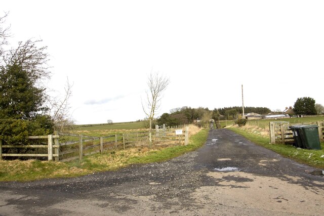
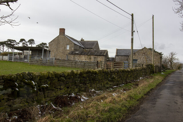
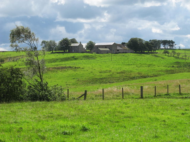
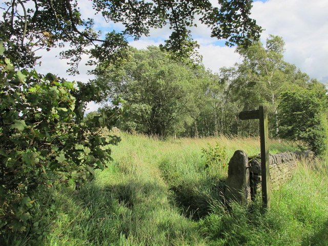
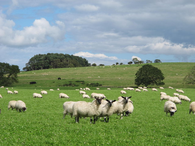
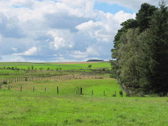
Alley Wood Images

Images are sourced within 2km of 54.960759/-2.1993673 or Grid Reference NY8762. Thanks to Geograph Open Source API. All images are credited.

Langhope Farm Farm track to Langhope Farm
Langhope Farm
Farm track to Langhope Farm
Lowes Fell Farm Vernacular farm buildings at Lowes Fell Farm
Lowes Fell Farm
Vernacular farm buildings at Lowes Fell Farm
Farm track to Wood Hall Farm
Farmland northeast of The Paise
If you go down to the woods today ... ... you'd better be well prepared.

If you’re thinking of using this innocuous looking footpath to walk eastwards alongside West Dipton Burn towards Windy Hill, note that the branch “path” that doubles back down to the burn, at around NY 8906 6164, is not easy to find.

The “path” along the burn is not recommended after rain, as it crosses the burn several times. There are in fact more than twice the number of “fords” as are marked on the 1:25000 map - which is absolutely useless for indicating which side of the burn you should be on. I recommend magicmap at a scale of 1:2500 (takes 5 A4 sheets, landscape).

The “fords” are simply places where you have to cross the burn in order to avoid crags; a possible line to take may (or may not) be indicated by traces of a “path” on the opposite bank - see <a href="https://www.geograph.org.uk/photo/2556132">NY8961 : Ford on West Dipton Burn</a> and <a href="https://www.geograph.org.uk/photo/2556160">NY9061 : Ford on West Dipton Burn</a>. Wear fishermen's thigh-length waders.

Also wear thick long trousers, a thick long-sleeved shirt and gardening gloves to combat the brambles, the head high nettles, and the head high bracken full of ticks carrying Lyme disease <span class="nowrap"><a title="http://www.ncbi.nlm.nih.gov/pubmedhealth/PMH0002296/" rel="nofollow ugc noopener" href="http://www.ncbi.nlm.nih.gov/pubmedhealth/PMH0002296/">Link</a><img style="margin-left:2px;" alt="External link" title="External link - shift click to open in new window" src="https://s1.geograph.org.uk/img/external.png" width="10" height="10"/></span> . A fencer’s mask might also be useful. Put on lashings of insect repellent (at least 50% DEET <span class="nowrap"><a title="http://en.wikipedia.org/wiki/DEET" rel="nofollow ugc noopener" href="http://en.wikipedia.org/wiki/DEET">Link</a><img style="margin-left:2px;" alt="External link" title="External link - shift click to open in new window" src="https://s1.geograph.org.uk/img/external.png" width="10" height="10"/></span> ). Take long handled secateurs/small flame thrower/machete for clearing a way through the jungle-like undergrowth, and a chainsaw for cutting through the trunks of the numerous fallen trees blocking the “path”.

And then there’s the terrifying trolls who live in the deep dark wood and enjoy nothing more than hurling unsuspecting passers-by into the raging waterfalls <a href="https://www.geograph.org.uk/photo/2556097">NY8961 : Waterfall on West Dipton Burn</a>.
If you go down to the woods today ...
... you'd better be well prepared. If you’re thinking of using this innocuous looking footpath to walk eastwards alongside West Dipton Burn towards Windy Hill, note that the branch “path” that doubles back down to the burn, at around NY 8906 6164, is not easy to find. The “path” along the burn is not recommended after rain, as it crosses the burn several times. There are in fact more than twice the number of “fords” as are marked on the 1:25000 map - which is absolutely useless for indicating which side of the burn you should be on. I recommend magicmap at a scale of 1:2500 (takes 5 A4 sheets, landscape). The “fords” are simply places where you have to cross the burn in order to avoid crags; a possible line to take may (or may not) be indicated by traces of a “path” on the opposite bank - see NY8961 : Ford on West Dipton Burn and NY9061 : Ford on West Dipton Burn. Wear fishermen's thigh-length waders. Also wear thick long trousers, a thick long-sleeved shirt and gardening gloves to combat the brambles, the head high nettles, and the head high bracken full of ticks carrying Lyme disease LinkExternal link . A fencer’s mask might also be useful. Put on lashings of insect repellent (at least 50% DEET LinkExternal link ). Take long handled secateurs/small flame thrower/machete for clearing a way through the jungle-like undergrowth, and a chainsaw for cutting through the trunks of the numerous fallen trees blocking the “path”. And then there’s the terrifying trolls who live in the deep dark wood and enjoy nothing more than hurling unsuspecting passers-by into the raging waterfalls NY8961 : Waterfall on West Dipton Burn.
Farmland east of Nubbock Lodge Wood
Farmland north of The Paise On the horizon (centre) is the square plantation shown in <a href="https://www.geograph.org.uk/photo/818808">NY8561 : Rough pastures and plantation on Stublick Hill</a>.
Farmland north of The Paise
On the horizon (centre) is the square plantation shown in NY8561 : Rough pastures and plantation on Stublick Hill.
Roadside tree Beside the B6305 Allendale to Hexham road.
Roadside tree
Beside the B6305 Allendale to Hexham road.
Allendale to Hexham Road The B6305. Paise Wood to the right.
Allendale to Hexham Road
The B6305. Paise Wood to the right.
Fields east of Yellow Rigg West Nubbock Farm <a href="https://www.geograph.org.uk/gridref/NY8862">NY8862</a> in the middle distance. A wind turbine can be seen to the left.
Fields east of Yellow Rigg
West Nubbock Farm NY8862 in the middle distance. A wind turbine can be seen to the left.
Woodland above West Dipton Burn
Woodland above West Dipton Burn (2)
West Dipton Burn
West Dipton Burn
Clearing in the woodland above West Dipton Burn
Threepwood Burn
Threepwood Burn
Culled Grey Squirrels near Elrington At one time a common sight on farmland was to see moles, crows, jays "displayed" in this way.  With bird protection only moles appear to suffer this fate.  This is the first time I've seen Grey Squirrels "displayed" in this way.  I don't disagree with the culling of Greys (a way of preserving Reds) but wonder why moles or Greys have to be strung up in this manner.

I always presumed the purpose of such "displays" was to encourage other moles (or whatever unwanted species) to keep away and warn them of their likely fate if they stayed around, but have no idea whether that was effective - James Yardley

This practice dates back to when the mole (or other vermin) catcher was, and possibly still is, paid by the number caught and hanging them on a 'gibbet' provided evidence - Jonathan Kington
Culled Grey Squirrels near Elrington
At one time a common sight on farmland was to see moles, crows, jays "displayed" in this way. With bird protection only moles appear to suffer this fate. This is the first time I've seen Grey Squirrels "displayed" in this way. I don't disagree with the culling of Greys (a way of preserving Reds) but wonder why moles or Greys have to be strung up in this manner. I always presumed the purpose of such "displays" was to encourage other moles (or whatever unwanted species) to keep away and warn them of their likely fate if they stayed around, but have no idea whether that was effective - James Yardley This practice dates back to when the mole (or other vermin) catcher was, and possibly still is, paid by the number caught and hanging them on a 'gibbet' provided evidence - Jonathan Kington
Bridge over Crossley Burn
Cottage near Elrington
Show me another place!

Alley Wood is located at Grid Ref: NY8762 (Lat: 54.960759, Lng: -2.1993673)

Unitary Authority: Northumberland

Police Authority: Northumbria

What 3 Words

///available.fights.rental. Near Haydon Bridge, Northumberland

Nearby Locations

Sawmill Wood Alley Wood

Related Wikis

Elrington Halt railway station

Elrington Halt station is a closed stone built railway station situated on a single track branch railway line in Northumberland, England, that ran from...

Haydon Bridge

Haydon Bridge is a village in Northumberland, England, which had a population of 2,184 in the 2011 census. Its most distinctive features are the two bridges...

Haydon Bridge railway station

Haydon Bridge is a railway station on the Tyne Valley Line, which runs between Newcastle and Carlisle via Hexham. The station, situated 29 miles 68 chains...

Allerwash railway station

Allerwash railway station served the hamlet of Allerwash, Northumberland, England from 1836 to 1837 on the Newcastle and Carlisle Railway. == History... ==

Haydon Bridge High School

Haydon Bridge High School is a mixed secondary day school located in Haydon Bridge in the English county of Northumberland. The current headteacher is...
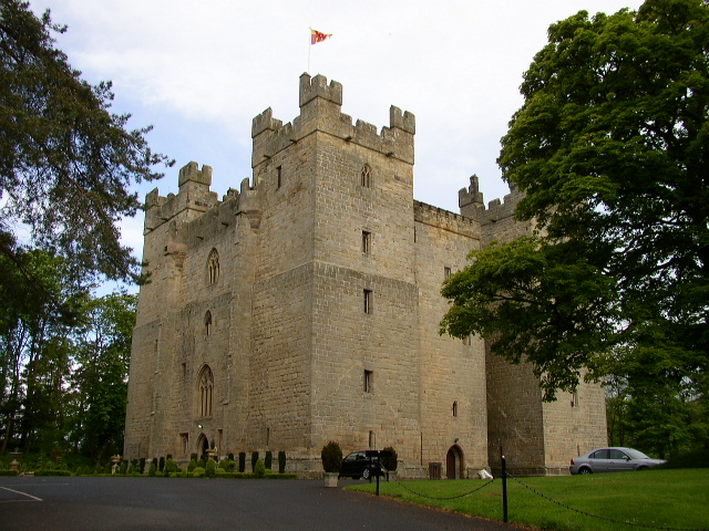
Langley Castle

Langley Castle is a restored medieval tower house, now operated as a hotel, situated in the village of Langley in the valley of the River South Tyne some...

Langley-on-Tyne railway station

Langley-on-Tyne is a closed stone built railway station situated on a single track branch railway line in Northumberland, England, that ran from Allendale...

Chesterwood

Chesterwood is a hamlet in Northumberland, in England. It is situated a short distance to the north-west of Haydon Bridge on the South Tyne, west of Hexham...

Have you been to Alley Wood?

Leave your review of Alley Wood below (or comments, questions and feedback).