Jervis Wood
Wood, Forest in Staffordshire Stafford
England
Jervis Wood
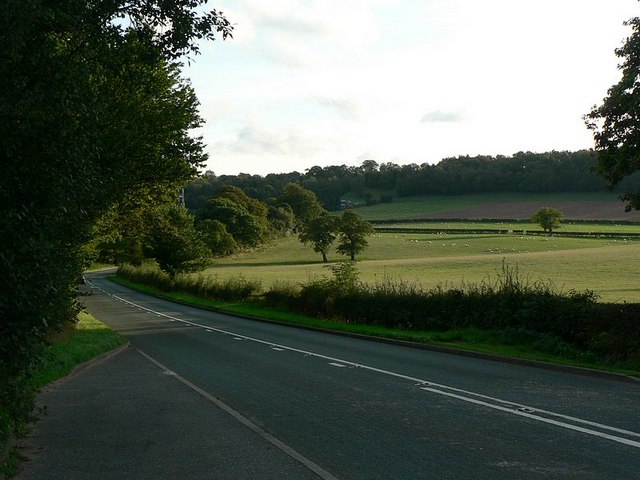
Jervis Wood is a picturesque forest located in Staffordshire, England. Covering an area of approximately 200 acres, it is known for its natural beauty and tranquil surroundings. The forest is situated near the town of Wood, which is about 5 miles away.
Jervis Wood features a variety of tree species, including oak, beech, and birch, which create a dense canopy providing shade and shelter for wildlife. The forest is home to a diverse range of animals, such as deer, foxes, and rabbits, making it a popular spot for nature enthusiasts and wildlife photographers.
The woodland is crisscrossed by numerous footpaths, allowing visitors to explore its enchanting trails. These paths lead to scenic viewpoints and secluded picnic areas, providing an ideal setting for a leisurely day out with family or friends. Jervis Wood also offers opportunities for outdoor activities like hiking and birdwatching.
The forest is well-maintained, with clear signposts and information boards providing details about the local flora and fauna. It is managed by the local forestry commission, which ensures the preservation of the woodland and its biodiversity.
Jervis Wood is easily accessible, with ample parking available for visitors. It is a popular destination for both locals and tourists, who come to enjoy the peaceful ambiance and reconnect with nature. With its stunning landscapes and abundant wildlife, Jervis Wood truly offers a delightful escape from the hustle and bustle of everyday life.
If you have any feedback on the listing, please let us know in the comments section below.
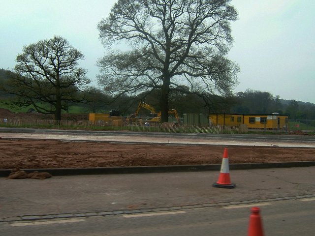
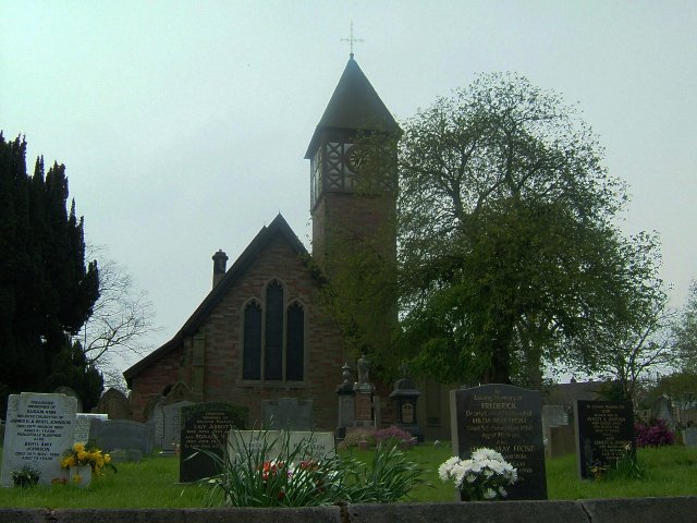
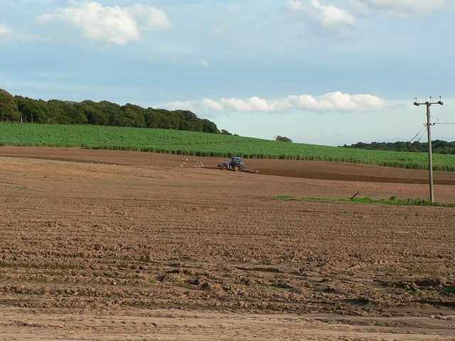
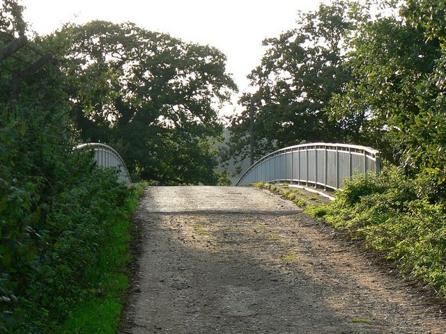
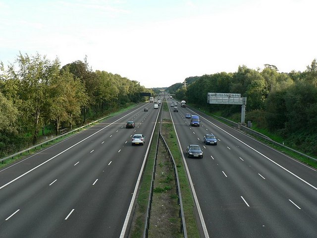
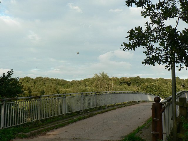
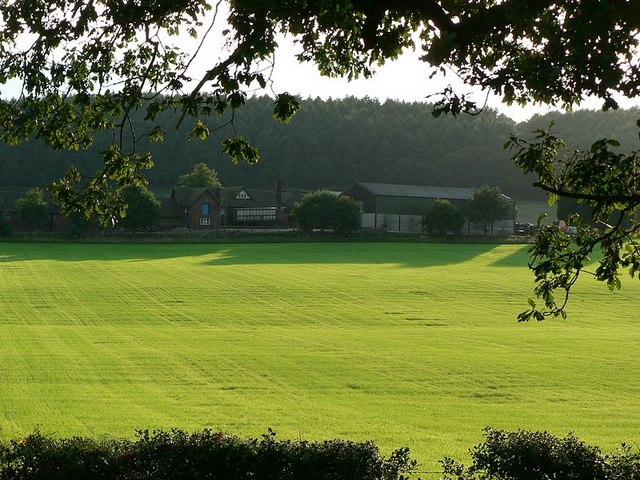
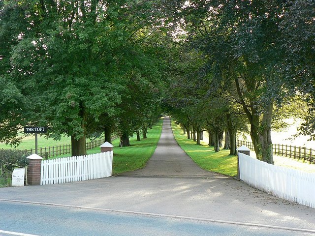
Jervis Wood Images
Images are sourced within 2km of 52.952362/-2.1979756 or Grid Reference SJ8639. Thanks to Geograph Open Source API. All images are credited.


Jervis Wood is located at Grid Ref: SJ8639 (Lat: 52.952362, Lng: -2.1979756)
Administrative County: Staffordshire
District: Stafford
Police Authority: Staffordshire
What 3 Words
///basin.table.master. Near Barlaston, Staffordshire
Nearby Locations
Related Wikis

Trentham Estate
The Trentham Estate, in the village of Trentham, is a visitor attraction located on the southern fringe of the city of Stoke-on-Trent in Staffordshire...
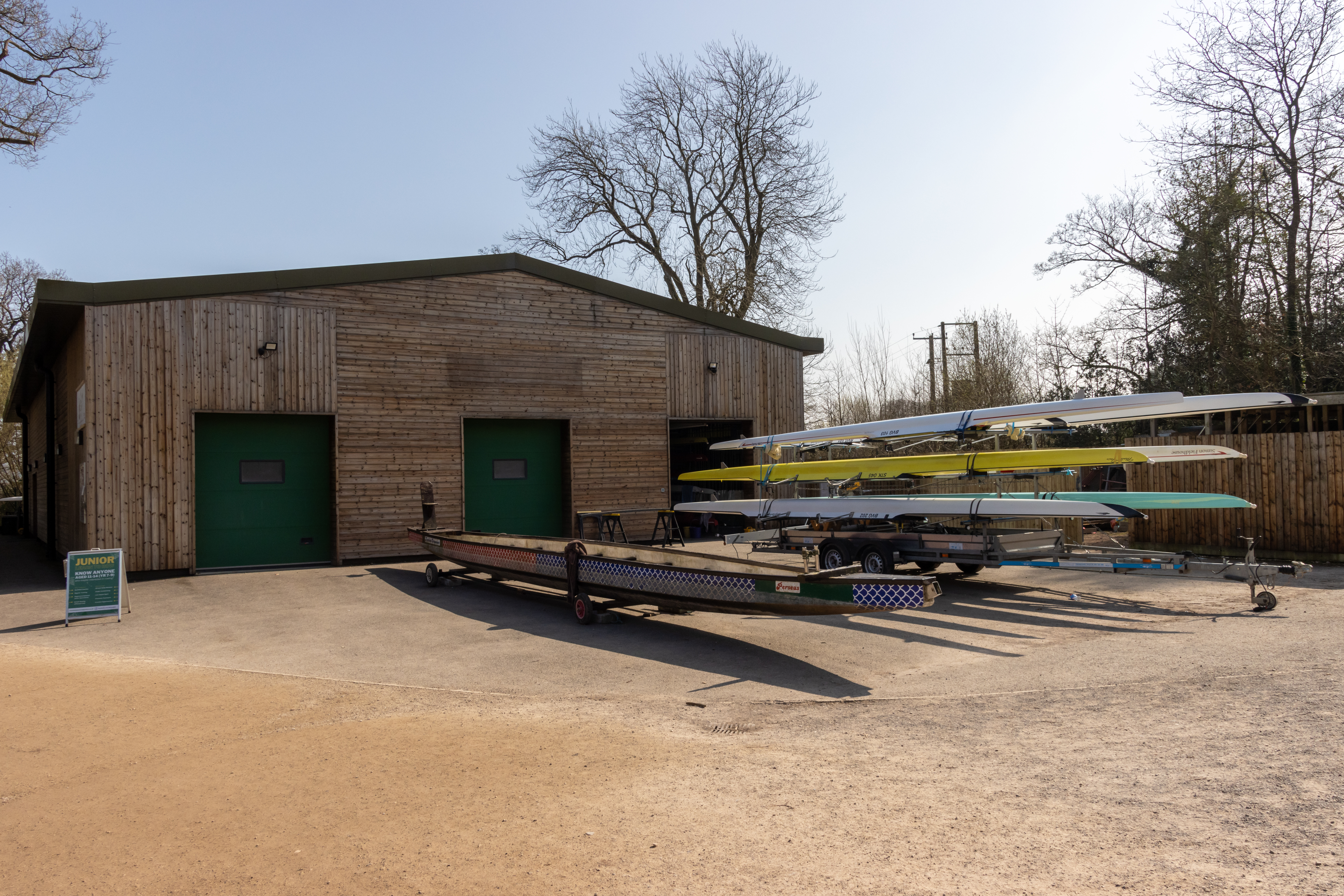
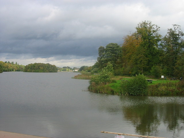
Trentham Boat Club
Trentham Boat Club is a rowing club based on Trentham Lake next to the River Trent, at Trentham Gardens Estate, Stone Road, Trentham, Stoke-on-Trent, Staffordshire...

Tittensor
Tittensor village is located in Staffordshire, England, between Newcastle-under-Lyme and Stone. The population as taken at the 2011 census can be found...

Hem Heath
Hem Heath is a district of Stoke-on-Trent just south of the Bet365 Stadium. The nature reserve Hem Heath Woods is nearby.

Trentham Mausoleum
The Trentham Mausoleum is a Grade I listed mausoleum in Trentham, Stoke-on-Trent, built as the final resting place of the Dukes of Sutherland from the...

Trentham, Staffordshire
Trentham () is a suburb of the city of Stoke-on-Trent in North Staffordshire, England, south-west of the city centre and south of the neighbouring town...
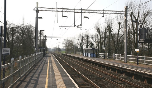
Wedgwood railway station
Wedgwood railway station served the Wedgwood complex in Barlaston, Staffordshire, England. Although the station is not officially closed, there has been...
Trentham Gardens railway station
Trentham Gardens railway station (originally named Trentham Park) was the last station built by the North Staffordshire Railway (NSR) and was the terminus...
Nearby Amenities
Located within 500m of 52.952362,-2.1979756Have you been to Jervis Wood?
Leave your review of Jervis Wood below (or comments, questions and feedback).