King's Wood

Wood, Forest in Staffordshire Stafford

England

King's Wood

New Road A new road under construction on the A53 near Tittensor
New Road Credit: Andy and Hilary

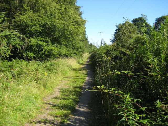
King's Wood is a vast woodland located in the county of Staffordshire, England. Spanning over an area of approximately 200 hectares, it is a popular destination for nature enthusiasts and outdoor lovers. The wood is renowned for its diverse flora and fauna, making it an important site for conservation and biodiversity.

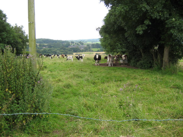
The woodland is predominantly composed of broadleaf trees, including oak, birch, and beech. These towering trees create a dense canopy that provides shade and shelter for a variety of wildlife. Visitors to King's Wood can expect to encounter a plethora of bird species, such as woodpeckers, warblers, and owls, as well as small mammals like squirrels, foxes, and badgers.

The wood offers a network of well-maintained walking trails, allowing visitors to explore its natural beauty at their own pace. These trails wind through the different sections of the wood, offering stunning views of the surrounding countryside and opportunities to spot wildlife. Additionally, there are designated picnic areas for visitors to relax and enjoy the peaceful surroundings.

King's Wood has a rich history that dates back centuries. It was once part of the hunting grounds of the ancient kings of Mercia, hence its name. The woodland has also played a significant role in local industries, providing timber for fuel and construction in the past.

Today, King's Wood is owned and managed by the local council, who ensure its preservation and accessibility for the public. The wood offers a tranquil escape from the urban bustle, where visitors can immerse themselves in the beauty of nature and experience the serenity of the Staffordshire countryside.

If you have any feedback on the listing, please let us know in the comments section below.
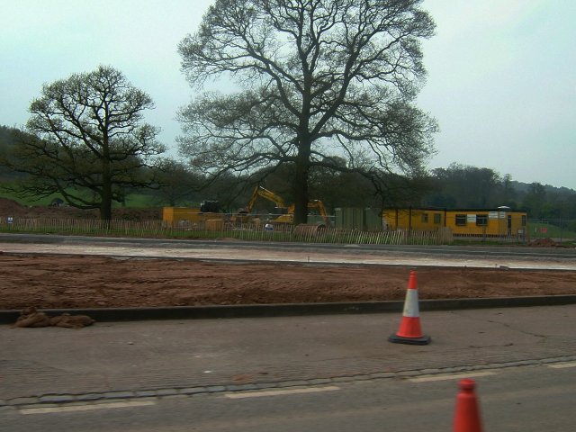
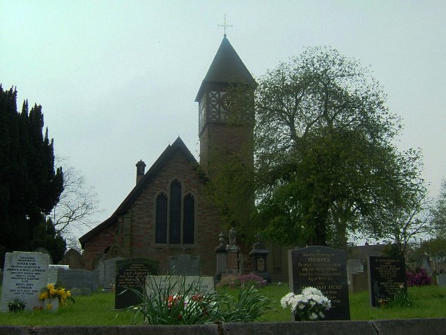
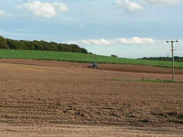
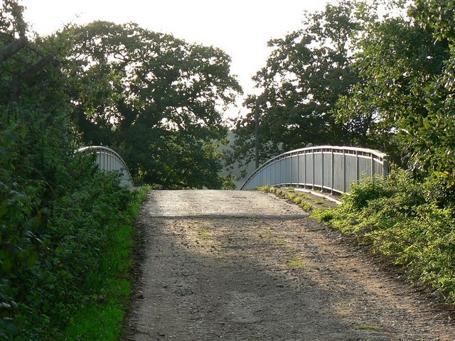
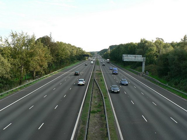
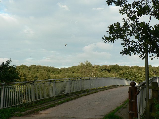
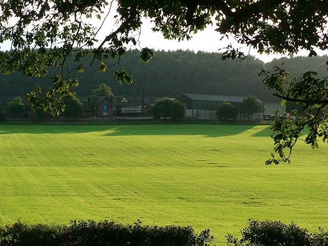
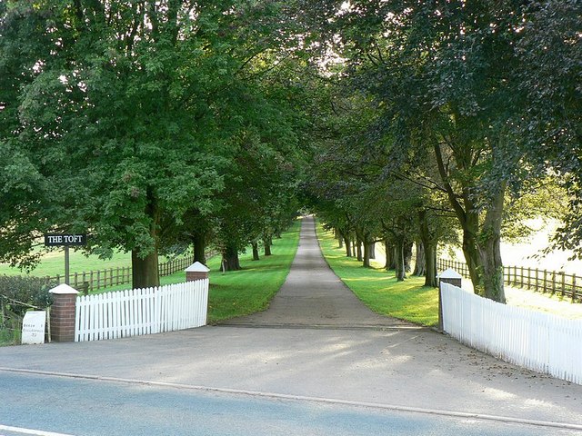
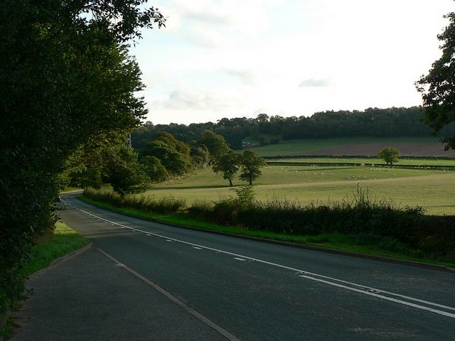
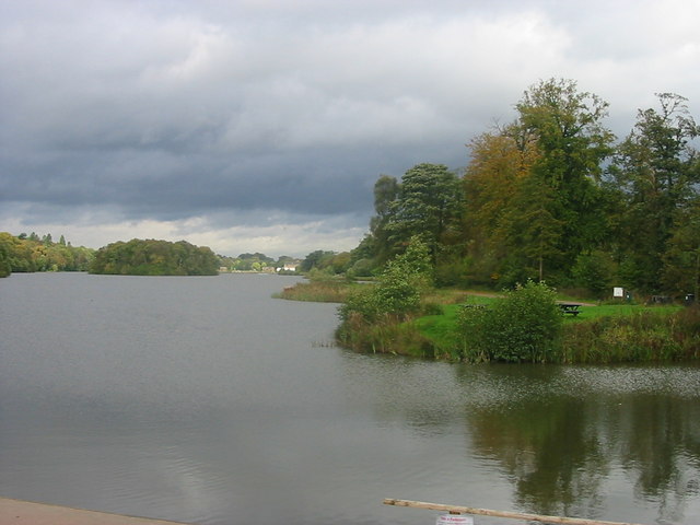
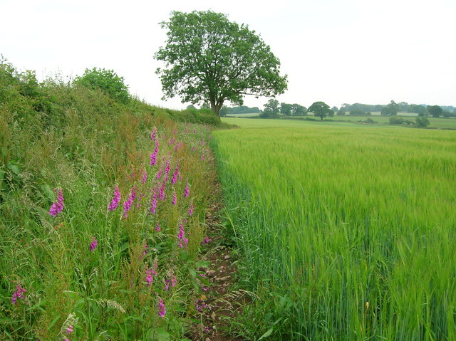
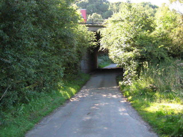
King's Wood Images

Images are sourced within 2km of 52.955903/-2.2087984 or Grid Reference SJ8639. Thanks to Geograph Open Source API. All images are credited.

New Road A new road under construction on the A53 near Tittensor
New Road
A new road under construction on the A53 near Tittensor
St Luke's Church St Luke's church Tittensor.
St Luke's Church
St Luke's church Tittensor.
Plenty more to harrow Looking across this field towards Kingswood Bank. The tractor is harrowing the field, working towards the camera.
Plenty more to harrow
Looking across this field towards Kingswood Bank. The tractor is harrowing the field, working towards the camera.
Bridge over the M6 This is the bridge just over a mile south of junction 15. It carries a track from the A519 towards Kings Wood.
Bridge over the M6
This is the bridge just over a mile south of junction 15. It carries a track from the A519 towards Kings Wood.
M6 looking south From the bridge <a href="https://www.geograph.org.uk/photo/250344">SJ8539 : Bridge over the M6</a>
M6 looking south
From the bridge SJ8539 : Bridge over the M6
Bridge over M6, with hot air balloon The bridge carries a lane from the A519 near The Toft towards Kings Wood
Bridge over M6, with hot air balloon
The bridge carries a lane from the A519 near The Toft towards Kings Wood
Stile to nowhere The bridge over the M6 has a gate which could swing across the entrance, the post is by the opposite rail. This stile should meet up with it, but the hinges seem to have seized up when I tried to move it.
See <a href="https://www.geograph.org.uk/photo/250670">SJ8539 : Bridge over M6, with hot air balloon</a>
Stile to nowhere
The bridge over the M6 has a gate which could swing across the entrance, the post is by the opposite rail. This stile should meet up with it, but the hinges seem to have seized up when I tried to move it. See SJ8539 : Bridge over M6, with hot air balloon
View across the fields to The Toft Late September afternoon. Taken from the A519 by the bridge over the M6.
View across the fields to The Toft
Late September afternoon. Taken from the A519 by the bridge over the M6.
Entrance to The Toft By the A519.
Entrance to The Toft
By the A519.
The A519 From Eccleshall to Newcastle-under-Lyme
The A519
From Eccleshall to Newcastle-under-Lyme
Trentham Lake From the southern tip of Trentham Gardens lake close to the Monkey Park. In the distance can be seen the recently refurbished Italien Gardens and what remains of Trentham Hall.
Trentham Lake
From the southern tip of Trentham Gardens lake close to the Monkey Park. In the distance can be seen the recently refurbished Italien Gardens and what remains of Trentham Hall.
Field margin with foxgloves near Harley Thorns Farm
Beech Lane goes under M6 at Beechcliff The narrow lane goes under the six lane motorway (looking west)
Beech Lane goes under M6 at Beechcliff
The narrow lane goes under the six lane motorway (looking west)
Harley Thorn Lane Looking South East along Harley Thorn Lane in Hanchurch Hills
Harley Thorn Lane
Looking South East along Harley Thorn Lane in Hanchurch Hills
Cattle in field off Beech Lane Cattle in field adjacent to "West View"
Cattle in field off Beech Lane
Cattle in field adjacent to "West View"
Lake at Trentham Gardens
Trentham Lake From the South
Trentham Lake
From the South
Kings Wood behind Trentham Lake Get away from the crowds
Kings Wood behind Trentham Lake
Get away from the crowds
Show me another place!

King's Wood is located at Grid Ref: SJ8639 (Lat: 52.955903, Lng: -2.2087984)

Administrative County: Staffordshire

District: Stafford

Police Authority: Staffordshire

What 3 Words

///venue.mugs.mild. Near Barlaston, Staffordshire

Related Wikis

Trentham Estate

The Trentham Estate, in the village of Trentham, is a visitor attraction located on the southern fringe of the city of Stoke-on-Trent in Staffordshire...

Trentham Boat Club

Trentham Boat Club is a rowing club based on Trentham Lake next to the River Trent, at Trentham Gardens Estate, Stone Road, Trentham, Stoke-on-Trent, Staffordshire...

Trentham Mausoleum

The Trentham Mausoleum is a Grade I listed mausoleum in Trentham, Stoke-on-Trent, built as the final resting place of the Dukes of Sutherland from the...

Trentham Gardens railway station

Trentham Gardens railway station (originally named Trentham Park) was the last station built by the North Staffordshire Railway (NSR) and was the terminus...

Trentham, Staffordshire

Trentham () is a suburb of the city of Stoke-on-Trent in North Staffordshire, England, south-west of the city centre and south of the neighbouring town...

Hem Heath

Hem Heath is a district of Stoke-on-Trent just south of the Bet365 Stadium. The nature reserve Hem Heath Woods is nearby.

Trentham Academy

Trentham Academy (formerly Trentham High School) is a coeducational secondary school located in the village of Trentham in Stoke-on-Trent, Staffordshire...

Hanford, Staffordshire

Hanford is an area in Stoke-on-Trent near to Trent Vale. == References ==

Related Videos

Trentham Gardens Shops Walking and exploring

With 77 timber lodges housing amazing Shops, Cafés and Restaurants and a lovely friendly village atmosphere, you will love the ...

chilly on the paws this morning 🐕

our morning walk around Trentham gardens lake in Staffordshire England.

Walking with Monkeys at Monkey Forest.

We recently visited Monkey Forest where Monkeys are free to walk around you! Monkey Forest is a fun day out for all the family ...

FREE walk in Trentham estate Staffordshire

Join us on this FREE walk in trentham estate on hot Sunday morning.

Nearby Amenities

Located within 500m of 52.955903,-2.2087984
Material: wood
Power: pole
Lat/Long: 52.955808/-2.2161368
Power: pole
Lat/Long: 52.9543343/-2.2147314
Material: wood
Power: pole
Lat/Long: 52.9550905/-2.2154502
Noexit: yes
Lat/Long: 52.9564855/-2.2057656
Historic Barrier: gate
Lat/Long: 52.9587039/-2.2054786
Historic Barrier: gate
Lat/Long: 52.9572467/-2.204237
Access: permissive
Barrier: kissing_gate
Lat/Long: 52.9589364/-2.2141527
Barrier: kissing_gate
Lat/Long: 52.9590227/-2.2058718
Barrier: cattle_grid
Lat/Long: 52.9590321/-2.2058396
No.122 Military Convalescent Depot
Historic: ruins
Lat/Long: 52.9602765/-2.2093166
No.122 Military Convalescent Depot
Historic: ruins
Lat/Long: 52.9602616/-2.2104196
Marker: yes
Utility: gas
Lat/Long: 52.9581766/-2.2078061
No.122 Military Convalescent Depot
Historic: ruins
Lat/Long: 52.9594916/-2.2077617
No.122 Military Convalescent Depot
Historic: ruins
Lat/Long: 52.9597773/-2.2083634
Traffic Calming: hump
Lat/Long: 52.9599569/-2.2064029
Traffic Calming: hump
Lat/Long: 52.959248/-2.2060469
Bench
Lat/Long: 52.958635/-2.2054956
Man Made: utility_pole
Utility: telecom
Lat/Long: 52.958845/-2.2056928
Marker: post
Utility: gas
Lat/Long: 52.9542618/-2.2034371
Marker: yes
Utility: gas
Lat/Long: 52.9550384/-2.20425
The data included in this document is from www.openstreetmap.org. The data is made available under ODbL.

Have you been to King's Wood?

Leave your review of King's Wood below (or comments, questions and feedback).