Lane Head Plantation
Wood, Forest in Lancashire Rossendale
England
Lane Head Plantation
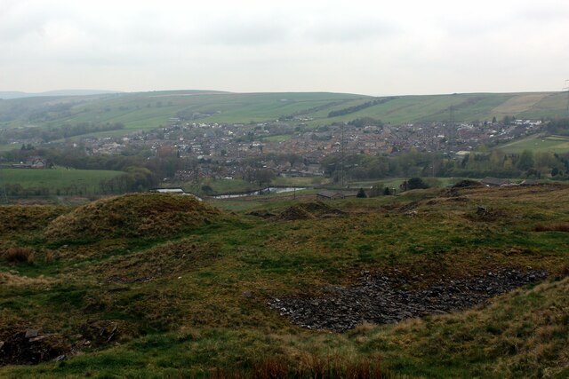
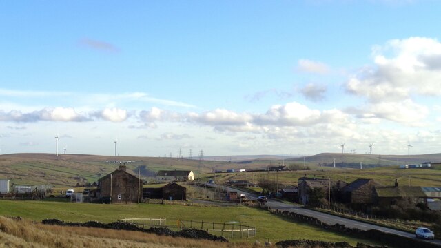
Lane Head Plantation is a wood located in the county of Lancashire, England. Situated in the picturesque countryside, the plantation covers a vast area of land, serving as a delightful retreat for nature enthusiasts and outdoor adventurers.
The woodland is predominantly made up of a diverse mix of deciduous and coniferous trees, creating a rich and varied habitat for a wide range of flora and fauna. The towering oak, beech, and birch trees provide a majestic canopy, while the evergreen pines add a touch of color throughout the year. The forest floor is adorned with an array of wildflowers, ferns, and mosses, making it a haven for small mammals and insects.
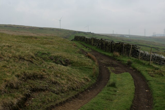
Traversing through the plantation is a network of well-maintained footpaths and trails, allowing visitors to explore the wood at their leisure. The paths wind through the dense foliage, offering glimpses of enchanting clearings and hidden glens. The plantation is also home to a meandering stream, adding to the serenity and charm of the surroundings.
Lane Head Plantation is a popular destination for outdoor activities such as walking, hiking, and birdwatching. Bird species such as the great spotted woodpecker, tawny owl, and various species of tits can be spotted within the woodland. Additionally, the plantation provides an excellent opportunity for photographers and artists to capture the natural beauty of the landscape.
Overall, Lane Head Plantation in Lancashire is a captivating woodland that offers a peaceful and idyllic escape from the hustle and bustle of everyday life, with its diverse range of trees, wildlife, and scenic trails.
If you have any feedback on the listing, please let us know in the comments section below.
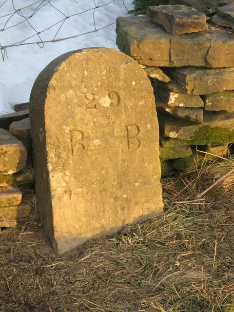
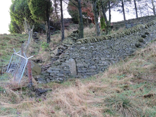
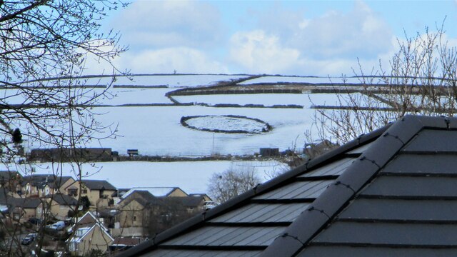
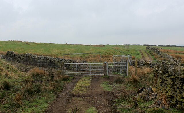
Lane Head Plantation Images
Images are sourced within 2km of 53.718869/-2.2045319 or Grid Reference SD8624. Thanks to Geograph Open Source API. All images are credited.

Lane Head Plantation is located at Grid Ref: SD8624 (Lat: 53.718869, Lng: -2.2045319)
Administrative County: Lancashire
District: Rossendale
Police Authority: Lancashire
What 3 Words
///mega.dustbin.vipers. Near Bacup, Lancashire
Related Wikis

A671 road
The A671 is a road in the North West of England, that runs between Oldham, Greater Manchester and Worston, near Clitheroe, Lancashire. Major towns on the...

Weir, Lancashire
Weir is a village to the north of Bacup in the Rossendale borough of Lancashire, England, and immediately south of the boundary with the Borough of Burnley...

Broadclough
Broadclough – historically Broad Clough (meaning "broad valley") – is a village located to the north of Bacup (where population details are included),...

Bacup Borough F.C.
Bacup Borough Football Club is a football club based in Bacup, Lancashire, England. The club are currently members of the North West Counties League Division...

Christ Church, Bacup
Christ Church is in Beech Street, off Todmorden Road, Bacup, Lancashire, England. It is a former Anglican parish church in the deanery of Rossendale, the...

Sharneyford
Sharneyford is a hamlet in Lancashire, England, on the A681 road between Bacup and Todmorden. It is home to one of the smallest schools in Britain, Sharneyford...
Bacup
Bacup ( BAY-kəp, ) is a town in the Rossendale Borough in Lancashire, England, in the South Pennines close to Lancashire's boundaries with West Yorkshire...

Bacup railway station
Bacup railway station served the town of Bacup, Rossendale, Lancashire, England, from 1852 until closure in 1966 and was the terminus of two lines; one...
Nearby Amenities
Located within 500m of 53.718869,-2.2045319Have you been to Lane Head Plantation?
Leave your review of Lane Head Plantation below (or comments, questions and feedback).