Small Shaw Height

Hill, Mountain in Lancashire Rossendale

England

Small Shaw Height

Old Boundary Marker on Bacup Old Road Municipal Boundary Marker on the east side of Bacup Old Road, southeast of its junction with the A671 Burnley Road. On the boundary of Cliviger parish and the former Newchurch parish. One of a series marking the boundary of Bacup Borough.

Milestone Society National ID: LA_BACCLI02pb
Old Boundary Marker on Bacup Old Road Credit: C Chatham

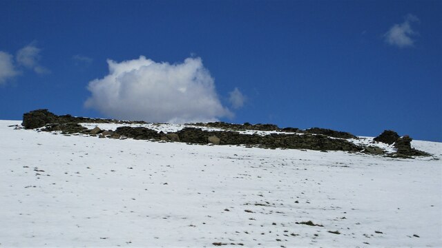
Small Shaw Height is a prominent hill located in the county of Lancashire, England. It is situated in the eastern part of the county, near the town of Haslingden. Despite its name, Small Shaw Height is not classified as a mountain, but rather a hill, as it stands at an elevation of 388 meters (1,273 feet) above sea level.

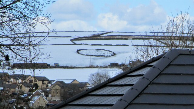
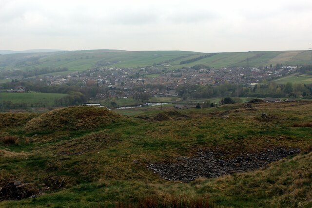
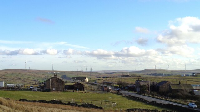
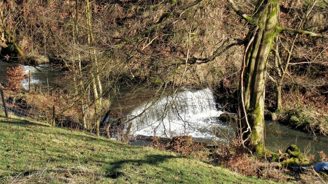
The hill is a part of the Pennine Range, which stretches across Northern England, and is known for its stunning scenic beauty. Small Shaw Height offers panoramic views of the surrounding countryside, including the nearby Rossendale Valley, which is renowned for its picturesque landscapes.

The hill is covered in heather and grass, giving it a rich green appearance throughout the year. It is a popular spot for outdoor enthusiasts and nature lovers, who often visit for hiking, walking, and birdwatching. Small Shaw Height is particularly attractive during the summer months when the hillside is adorned with colorful wildflowers.

The summit of Small Shaw Height provides breathtaking views, with landmarks such as the nearby Peel Tower visible in the distance. On clear days, it is possible to see as far as the neighboring counties of Greater Manchester and West Yorkshire.

Access to Small Shaw Height is relatively easy, with several footpaths and trails leading to the summit. The hill is well-maintained and offers a pleasant and peaceful escape from the hustle and bustle of nearby urban areas.

If you have any feedback on the listing, please let us know in the comments section below.

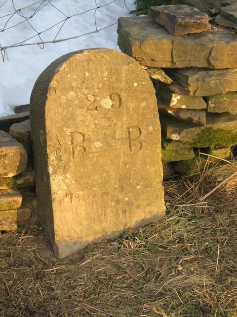
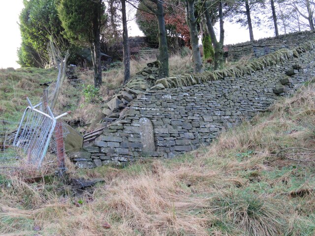
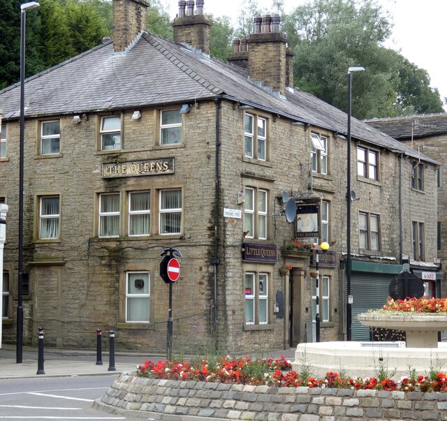
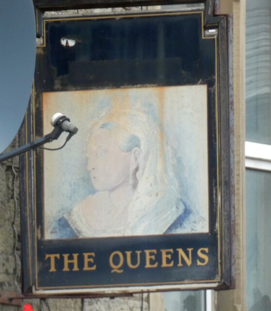
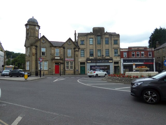
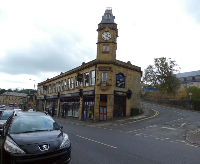
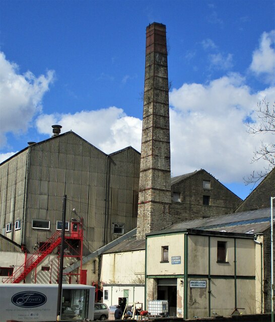
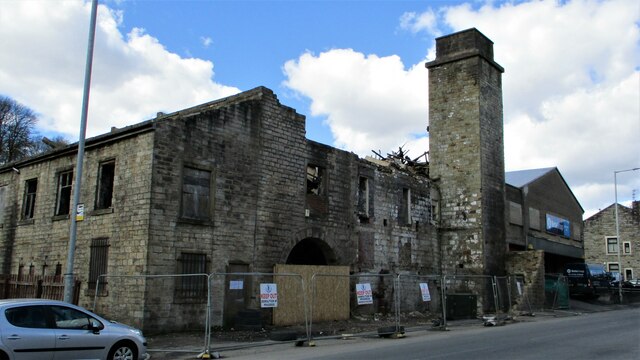
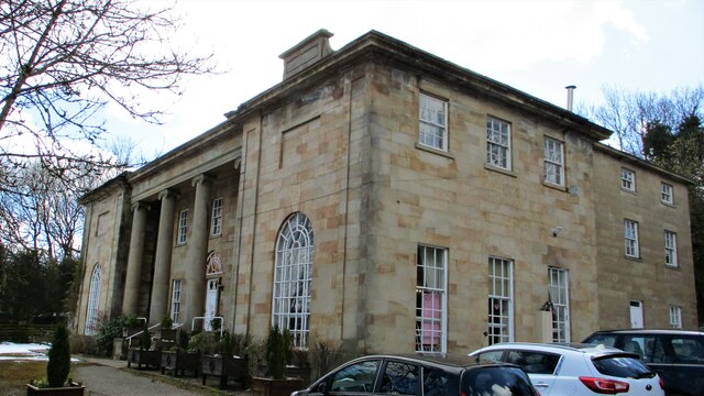
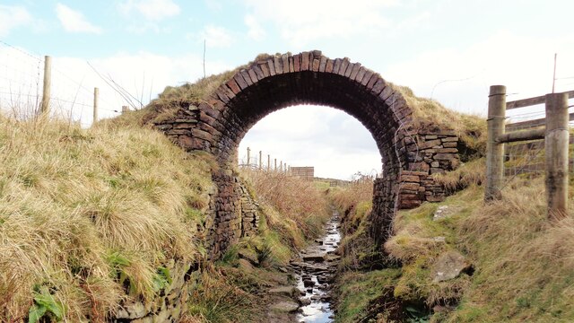
Small Shaw Height Images

Images are sourced within 2km of 53.717839/-2.2127852 or Grid Reference SD8624. Thanks to Geograph Open Source API. All images are credited.

Old Boundary Marker on Bacup Old Road Municipal Boundary Marker on the east side of Bacup Old Road, southeast of its junction with the A671 Burnley Road. On the boundary of Cliviger parish and the former Newchurch parish. One of a series marking the boundary of Bacup Borough.

Milestone Society National ID: LA_BACCLI02pb
Old Boundary Marker on Bacup Old Road
Municipal Boundary Marker on the east side of Bacup Old Road, southeast of its junction with the A671 Burnley Road. On the boundary of Cliviger parish and the former Newchurch parish. One of a series marking the boundary of Bacup Borough. Milestone Society National ID: LA_BACCLI02pb
Old Boundary Marker west of Burnley Road Municipal Boundary Marker set in a drystone wall beside the disused tramway of Deerplay Colliery, 75 metres west of the B671 Burnley Road. On the boundary of Cliviger parish and the former Newchurch parish. One of a series marking the boundary of Bacup Borough. Inscribed 31 / B B.

Milestone Society National ID: LA_BACCLI03pb
Old Boundary Marker west of Burnley Road
Municipal Boundary Marker set in a drystone wall beside the disused tramway of Deerplay Colliery, 75 metres west of the B671 Burnley Road. On the boundary of Cliviger parish and the former Newchurch parish. One of a series marking the boundary of Bacup Borough. Inscribed 31 / B B. Milestone Society National ID: LA_BACCLI03pb
Pinfold remains near Cow Toot Farm A grade II listed structure.
Pinfold remains near Cow Toot Farm
A grade II listed structure.
Pinfold near Cow Toot Farm The pinfold is a prominent feature above Bacup and this view is from Bankside Lane
Pinfold near Cow Toot Farm
The pinfold is a prominent feature above Bacup and this view is from Bankside Lane
Village of Weir As seen from the edge of Heald Moor
Village of Weir
As seen from the edge of Heald Moor
Farms on Burnley Road View towards Bacup from Weir War Memorial on Deerplay Hill
Farms on Burnley Road
View towards Bacup from Weir War Memorial on Deerplay Hill
464 to Accrington 
Operated by Rossobus, the A464 is a service from Rochdale via Bacup, Rawtenstall and Haslingdon to Accrington. It runs at 15 minute intervals most of day, Monday to Saturdays and every half hour Sundays/Bank Holidays.
464 to Accrington
Operated by Rossobus, the A464 is a service from Rochdale via Bacup, Rawtenstall and Haslingdon to Accrington. It runs at 15 minute intervals most of day, Monday to Saturdays and every half hour Sundays/Bank Holidays.
Former NatWest Bank 
On the corner of Market Street and Bankside Lane. Although closed for several years now it still has an ATM in the wall.
Former NatWest Bank
On the corner of Market Street and Bankside Lane. Although closed for several years now it still has an ATM in the wall.
The Queens Also known as Little Queens.

<a href="https://www.geograph.org.uk/photo/7254745">SD8623 : Sign of The Queens</a>.
The Queens
Also known as Little Queens. SD8623 : Sign of The Queens.
Sign of The Queens Sign for The Queens <a href="https://www.geograph.org.uk/photo/7254743">SD8623 : The Queens</a>.
Sign of The Queens
Sign for The Queens SD8623 : The Queens.
St James Square 
The roundabout in the centre of town is where the A671 from Rochdale to Burnley meets the A681 from Rawtenstall to Todmorden. The building on the left was  originally the King George V pub. Now known as King George Chambers it is offices for an accountancy firm at the front and apartments at the rear. The Art Deco building in the middle was used as council offices  It later became an electricity showroom and then a community resource centre. Now it is a hair salon. The brick building on the right was originally Woolworths.
St James Square
The roundabout in the centre of town is where the A671 from Rochdale to Burnley meets the A681 from Rawtenstall to Todmorden. The building on the left was originally the King George V pub. Now known as King George Chambers it is offices for an accountancy firm at the front and apartments at the rear. The Art Deco building in the middle was used as council offices It later became an electricity showroom and then a community resource centre. Now it is a hair salon. The brick building on the right was originally Woolworths.
Pioneer Building 
On the corner of Rochdale Road and Alma Street. Home to a variety of businesses.
Pioneer Building
On the corner of Rochdale Road and Alma Street. Home to a variety of businesses.
Broadclough Mill On Burnley Road
Broadclough Mill
On Burnley Road
Waterside Mill remains A listed building apparently being demolished
Waterside Mill remains
A listed building apparently being demolished
The Laurels A large imposing house now in use as a care home
The Laurels
A large imposing house now in use as a care home
Bridge Arch on Old Meadows Road Old OS maps do not indicate any purpose for this bridge, either tramway or path. It is fitting to be on the Irwell Sculpture Trail now and could be a piece of art
Bridge Arch on Old Meadows Road
Old OS maps do not indicate any purpose for this bridge, either tramway or path. It is fitting to be on the Irwell Sculpture Trail now and could be a piece of art
Massive Gate Piers At Far Old Meadows, but not apparently an entrance
Massive Gate Piers
At Far Old Meadows, but not apparently an entrance
Weir on River Irwell Below Dog Pits Lane
Weir on River Irwell
Below Dog Pits Lane
Show me another place!

Small Shaw Height is located at Grid Ref: SD8624 (Lat: 53.717839, Lng: -2.2127852)

Administrative County: Lancashire

District: Rossendale

Police Authority: Lancashire

What 3 Words

///impeached.bids.fidgeting. Near Bacup, Lancashire

Related Wikis

Broadclough

Broadclough – historically Broad Clough (meaning "broad valley") – is a village located to the north of Bacup (where population details are included),...

A671 road

The A671 is a road in the North West of England, that runs between Oldham, Greater Manchester and Worston, near Clitheroe, Lancashire. Major towns on the...

Weir, Lancashire

Weir is a village to the north of Bacup in the Rossendale borough of Lancashire, England, and immediately south of the boundary with the Borough of Burnley...

Bacup Borough F.C.

Bacup Borough Football Club is a football club based in Bacup, Lancashire, England. The club are currently members of the North West Counties League Division...

Christ Church, Bacup

Christ Church is in Beech Street, off Todmorden Road, Bacup, Lancashire, England. It is a former Anglican parish church in the deanery of Rossendale, the...
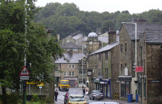
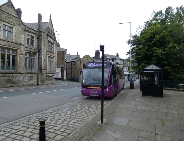
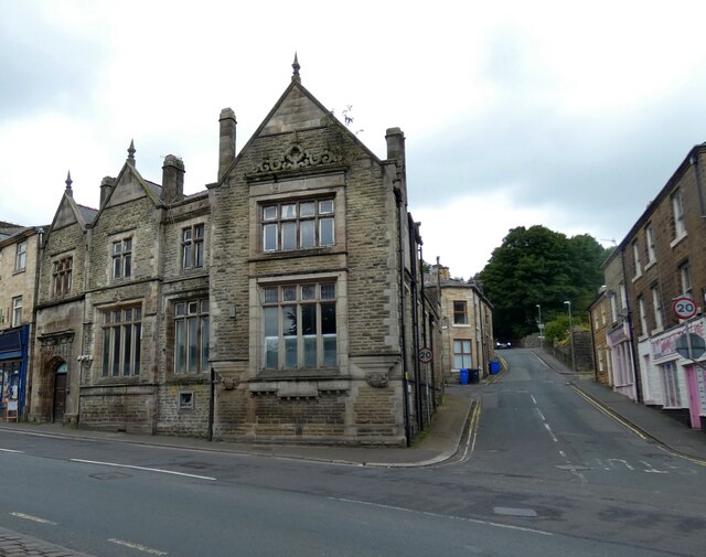
Bacup

Bacup ( BAY-kəp, ) is a town in the Rossendale Borough in Lancashire, England, in the South Pennines close to Lancashire's boundaries with West Yorkshire...

Rossendale (UK Parliament constituency)

Rossendale was a parliamentary constituency in the Lancashire, England. Created in 1885, it elected one Member of Parliament (MP) to the House of Commons...

Rossendale and Darwen (UK Parliament constituency)

Rossendale and Darwen is a constituency in Lancashire represented in the House of Commons of the UK Parliament since 2010 by Jake Berry, the former Chairman...

Nearby Amenities

Located within 500m of 53.717839,-2.2127852
The data included in this document is from www.openstreetmap.org. The data is made available under ODbL.

Have you been to Small Shaw Height?

Leave your review of Small Shaw Height below (or comments, questions and feedback).