Old Meadows Plantation

Wood, Forest in Lancashire Rossendale

England

Old Meadows Plantation

Old Boundary Marker on Bacup Old Road Municipal Boundary Marker on the east side of Bacup Old Road, southeast of its junction with the A671 Burnley Road. On the boundary of Cliviger parish and the former Newchurch parish. One of a series marking the boundary of Bacup Borough.

Milestone Society National ID: LA_BACCLI02pb
Old Boundary Marker on Bacup Old Road Credit: C Chatham

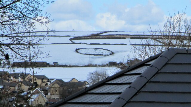
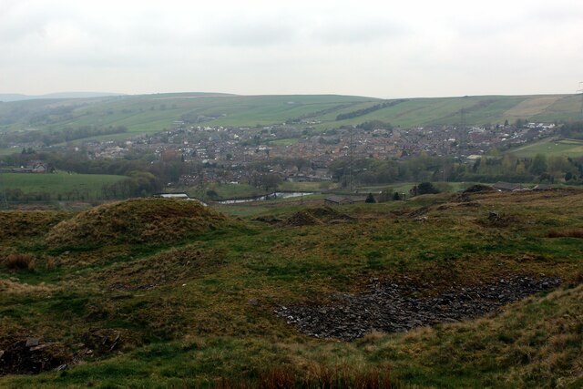
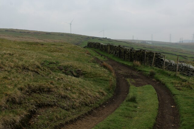
Old Meadows Plantation is a historical woodland located in the picturesque county of Lancashire, England. Spanning over a vast area, this idyllic forest is renowned for its captivating beauty and rich biodiversity. The plantation is nestled within the rolling hills of Lancashire, making it an enchanting destination for nature enthusiasts and hikers alike.

The woodland is characterized by its ancient trees, many of which are several centuries old and tower majestically over the landscape. The dominant species found here include oak, beech, and elm, creating a diverse and vibrant ecosystem. The forest floor is carpeted with a myriad of wildflowers and ferns, adding to the overall charm of the plantation.

Old Meadows Plantation is also home to a diverse range of wildlife. Birdwatchers flock to the area to catch a glimpse of resident species such as woodpeckers, owls, and various migratory birds. Squirrels and rabbits can be spotted darting amongst the undergrowth, while larger mammals like deer occasionally make appearances.

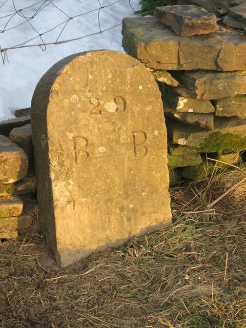
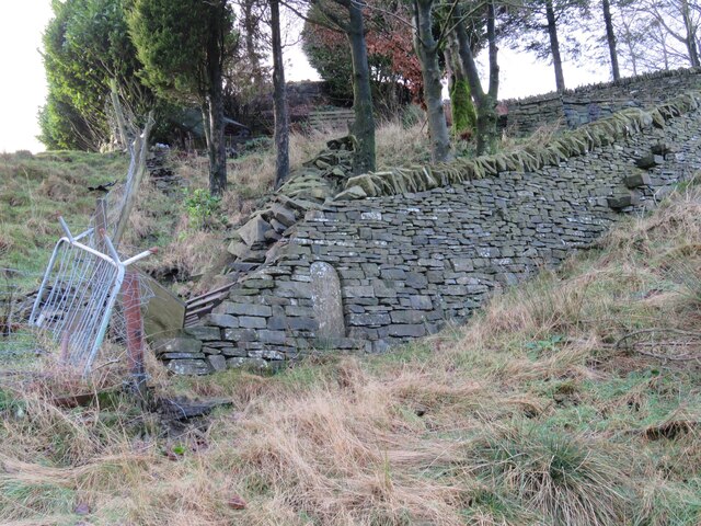
In addition to its natural beauty, Old Meadows Plantation holds historical significance. The woodland was once a hunting ground for local nobility, and remnants of old hunting lodges can still be found scattered throughout the area. These remnants serve as a reminder of the region's rich heritage and offer visitors a glimpse into its past.

With its captivating scenery and historical allure, Old Meadows Plantation is a cherished destination for those seeking solace in nature and a deeper connection to Lancashire's past.

If you have any feedback on the listing, please let us know in the comments section below.

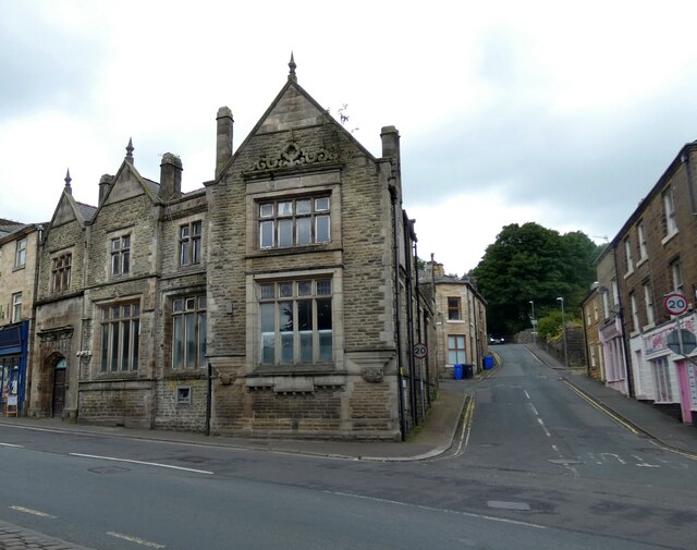
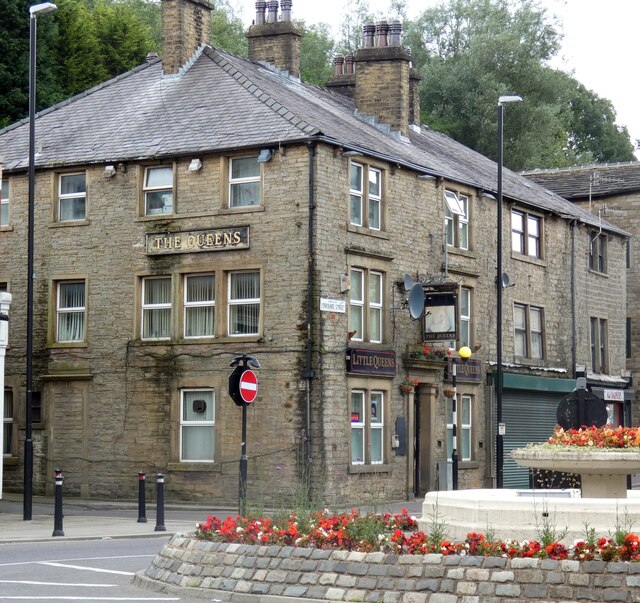
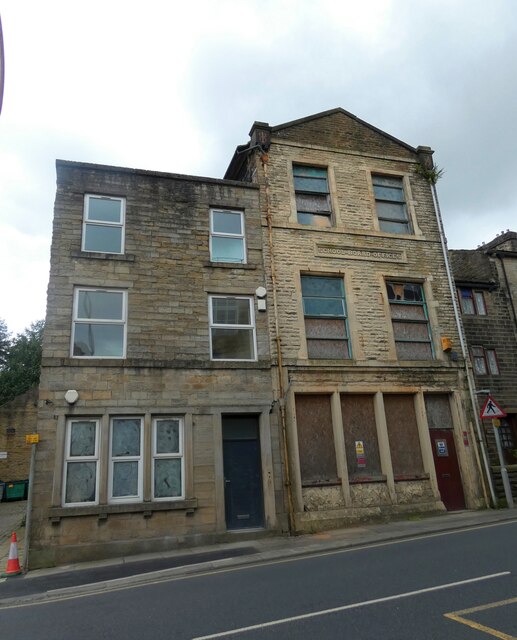
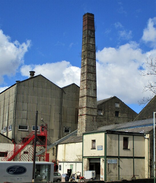
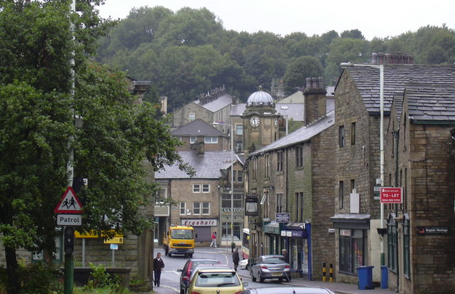
Old Meadows Plantation Images

Images are sourced within 2km of 53.715858/-2.1993655 or Grid Reference SD8624. Thanks to Geograph Open Source API. All images are credited.

Old Boundary Marker on Bacup Old Road Municipal Boundary Marker on the east side of Bacup Old Road, southeast of its junction with the A671 Burnley Road. On the boundary of Cliviger parish and the former Newchurch parish. One of a series marking the boundary of Bacup Borough.

Milestone Society National ID: LA_BACCLI02pb
Old Boundary Marker on Bacup Old Road
Municipal Boundary Marker on the east side of Bacup Old Road, southeast of its junction with the A671 Burnley Road. On the boundary of Cliviger parish and the former Newchurch parish. One of a series marking the boundary of Bacup Borough. Milestone Society National ID: LA_BACCLI02pb
Old Boundary Marker west of Burnley Road Municipal Boundary Marker set in a drystone wall beside the disused tramway of Deerplay Colliery, 75 metres west of the B671 Burnley Road. On the boundary of Cliviger parish and the former Newchurch parish. One of a series marking the boundary of Bacup Borough. Inscribed 31 / B B.

Milestone Society National ID: LA_BACCLI03pb
Old Boundary Marker west of Burnley Road
Municipal Boundary Marker set in a drystone wall beside the disused tramway of Deerplay Colliery, 75 metres west of the B671 Burnley Road. On the boundary of Cliviger parish and the former Newchurch parish. One of a series marking the boundary of Bacup Borough. Inscribed 31 / B B. Milestone Society National ID: LA_BACCLI03pb
Pinfold remains near Cow Toot Farm A grade II listed structure.
Pinfold remains near Cow Toot Farm
A grade II listed structure.
Pinfold near Cow Toot Farm The pinfold is a prominent feature above Bacup and this view is from Bankside Lane
Pinfold near Cow Toot Farm
The pinfold is a prominent feature above Bacup and this view is from Bankside Lane
Village of Weir As seen from the edge of Heald Moor
Village of Weir
As seen from the edge of Heald Moor
Track on the Edge of Heald Moor
Presumed Boundary Stone At Heald Top Farm
Presumed Boundary Stone
At Heald Top Farm
Boundary Marker at Sharneyford At the side of the A681
Boundary Marker at Sharneyford
At the side of the A681
464 to Accrington 
Operated by Rossobus, the A464 is a service from Rochdale via Bacup, Rawtenstall and Haslingdon to Accrington. It runs at 15 minute intervals most of day, Monday to Saturdays and every half hour Sundays/Bank Holidays.
464 to Accrington
Operated by Rossobus, the A464 is a service from Rochdale via Bacup, Rawtenstall and Haslingdon to Accrington. It runs at 15 minute intervals most of day, Monday to Saturdays and every half hour Sundays/Bank Holidays.
Former NatWest Bank 
On the corner of Market Street and Bankside Lane. Although closed for several years now it still has an ATM in the wall.
Former NatWest Bank
On the corner of Market Street and Bankside Lane. Although closed for several years now it still has an ATM in the wall.
The Queens Also known as Little Queens.

<a href="https://www.geograph.org.uk/photo/7254745">SD8623 : Sign of The Queens</a>.
The Queens
Also known as Little Queens. SD8623 : Sign of The Queens.
Sign of The Queens Sign for The Queens <a href="https://www.geograph.org.uk/photo/7254743">SD8623 : The Queens</a>.
Sign of The Queens
Sign for The Queens SD8623 : The Queens.
St James Square 
The roundabout in the centre of town is where the A671 from Rochdale to Burnley meets the A681 from Rawtenstall to Todmorden. The building on the left was  originally the King George V pub. Now known as King George Chambers it is offices for an accountancy firm at the front and apartments at the rear. The Art Deco building in the middle was used as council offices  It later became an electricity showroom and then a community resource centre. Now it is a hair salon. The brick building on the right was originally Woolworths.
St James Square
The roundabout in the centre of town is where the A671 from Rochdale to Burnley meets the A681 from Rawtenstall to Todmorden. The building on the left was originally the King George V pub. Now known as King George Chambers it is offices for an accountancy firm at the front and apartments at the rear. The Art Deco building in the middle was used as council offices It later became an electricity showroom and then a community resource centre. Now it is a hair salon. The brick building on the right was originally Woolworths.
Pioneer Building 
On the corner of Rochdale Road and Alma Street. Home to a variety of businesses.
Pioneer Building
On the corner of Rochdale Road and Alma Street. Home to a variety of businesses.
Maden Public Baths 
The baths were opened in December 1893.

Building News reported "Each entrance will be of sufficient width for double turnstiles in and out, in addition to a pass gate in the centre, with latch available for visitors, officials, etc, who are not bathers, so as to have a complete register. The women and first-class men use one entrance, and the second-class men the other. With this arrangement it is provided that women can occasionally have the use of the first-class swimming-baths within certain hours of the day. The position of the laundry is such as to make it convenient for the attendant to pass from thence to the women's baths (which are situated over the entrances) without loss of time. The laundry and washhouse, with drying-closet, are placed over the boiler-house, which is provided with two boilers. ...  There are six slipper-baths for women, three of which would be considered first-class, and three second-class, the difference being principally in the fitting up of the baths with shower, etc. There are six slipper-baths for men, three of which will be first-class and three second-class; each will have a shower-bath. ...  Each swimming bath is well lighted from the roof with inclined vertical lights." <span class="nowrap"><a title="https://manchestervictorianarchitects.org.uk/buildings/maden-public-baths-rochdale-road-bacup" rel="nofollow ugc noopener" href="https://manchestervictorianarchitects.org.uk/buildings/maden-public-baths-rochdale-road-bacup">Link</a><img style="margin-left:2px;" alt="External link" title="External link - shift click to open in new window" src="https://s1.geograph.org.uk/img/external.png" width="10" height="10"/></span>

It is now used as a community centre and includes a Youth Zone <span class="nowrap"><a title="https://www.lancashire.gov.uk/youthzone/" rel="nofollow ugc noopener" href="https://www.lancashire.gov.uk/youthzone/">Link</a><img style="margin-left:2px;" alt="External link" title="External link - shift click to open in new window" src="https://s1.geograph.org.uk/img/external.png" width="10" height="10"/></span> and a Childcare Centre <span class="nowrap"><a title="https://www.madenearlyyears.co.uk/" rel="nofollow ugc noopener" href="https://www.madenearlyyears.co.uk/">Link</a><img style="margin-left:2px;" alt="External link" title="External link - shift click to open in new window" src="https://s1.geograph.org.uk/img/external.png" width="10" height="10"/></span>
Maden Public Baths
The baths were opened in December 1893. Building News reported "Each entrance will be of sufficient width for double turnstiles in and out, in addition to a pass gate in the centre, with latch available for visitors, officials, etc, who are not bathers, so as to have a complete register. The women and first-class men use one entrance, and the second-class men the other. With this arrangement it is provided that women can occasionally have the use of the first-class swimming-baths within certain hours of the day. The position of the laundry is such as to make it convenient for the attendant to pass from thence to the women's baths (which are situated over the entrances) without loss of time. The laundry and washhouse, with drying-closet, are placed over the boiler-house, which is provided with two boilers. ... There are six slipper-baths for women, three of which would be considered first-class, and three second-class, the difference being principally in the fitting up of the baths with shower, etc. There are six slipper-baths for men, three of which will be first-class and three second-class; each will have a shower-bath. ... Each swimming bath is well lighted from the roof with inclined vertical lights." LinkExternal link It is now used as a community centre and includes a Youth Zone LinkExternal link and a Childcare Centre LinkExternal link
Former School Board Offices 
The building has been derelict since at least 2008 <a href="https://www.geograph.org.uk/photo/809982">SD8622 : Former School Board Offices, No14 Rochdale Road, Bacup</a>.
Former School Board Offices
The building has been derelict since at least 2008 SD8622 : Former School Board Offices, No14 Rochdale Road, Bacup.
Broadclough Mill On Burnley Road
Broadclough Mill
On Burnley Road
Waterside Mill remains A listed building apparently being demolished
Waterside Mill remains
A listed building apparently being demolished
Show me another place!

Old Meadows Plantation is located at Grid Ref: SD8624 (Lat: 53.715858, Lng: -2.1993655)

Administrative County: Lancashire

District: Rossendale

Police Authority: Lancashire

What 3 Words

///sprouts.overruns.touched. Near Bacup, Lancashire

Related Wikis

A671 road

The A671 is a road in the North West of England, that runs between Oldham, Greater Manchester and Worston, near Clitheroe, Lancashire. Major towns on the...

Broadclough

Broadclough – historically Broad Clough (meaning "broad valley") – is a village located to the north of Bacup (where population details are included),...

Weir, Lancashire

Weir is a village to the north of Bacup in the Rossendale borough of Lancashire, England, and immediately south of the boundary with the Borough of Burnley...

Bacup Borough F.C.

Bacup Borough Football Club is a football club based in Bacup, Lancashire, England. The club are currently members of the North West Counties League Division...

Christ Church, Bacup

Christ Church is in Beech Street, off Todmorden Road, Bacup, Lancashire, England. It is a former Anglican parish church in the deanery of Rossendale, the...

Sharneyford

Sharneyford is a hamlet in Lancashire, England, on the A681 road between Bacup and Todmorden. It is home to one of the smallest schools in Britain, Sharneyford...

Bacup

Bacup ( BAY-kəp, ) is a town in the Rossendale Borough in Lancashire, England, in the South Pennines close to Lancashire's boundaries with West Yorkshire...

Bacup railway station

Bacup railway station served the town of Bacup, Rossendale, Lancashire, England, from 1852 until closure in 1966 and was the terminus of two lines; one...

Nearby Amenities

Located within 500m of 53.715858,-2.1993655
GrowTraffic
Office: advertising_agency
Website: https://www.growtraffic.co.uk/
Lat/Long: 53.7158475/-2.2008303
The data included in this document is from www.openstreetmap.org. The data is made available under ODbL.

Have you been to Old Meadows Plantation?

Leave your review of Old Meadows Plantation below (or comments, questions and feedback).