The Grove
Wood, Forest in Staffordshire South Staffordshire
England
The Grove
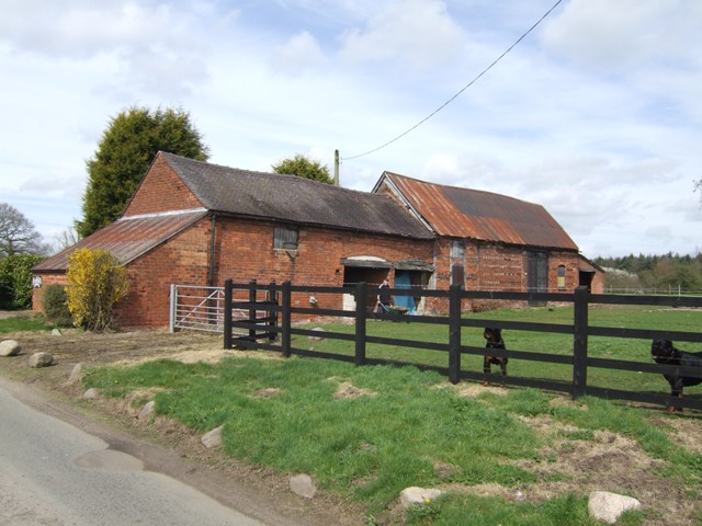
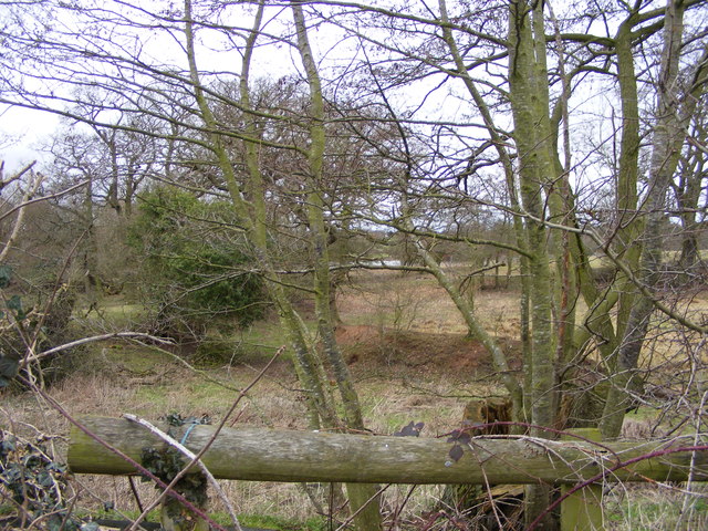
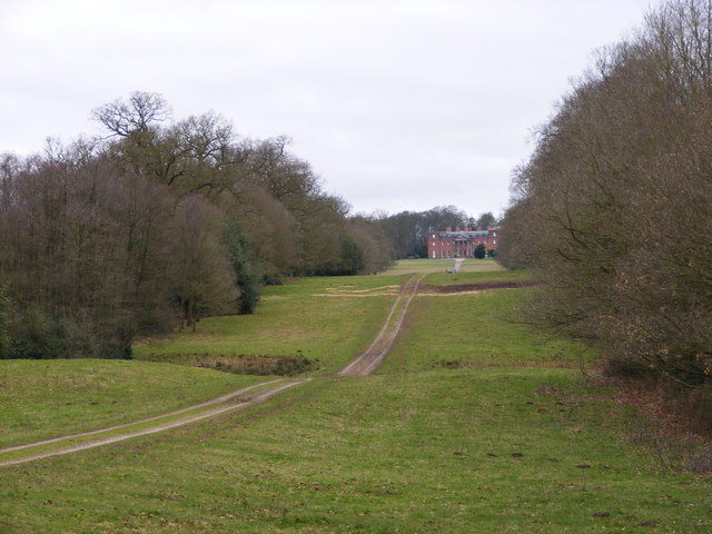
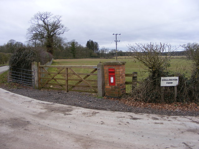
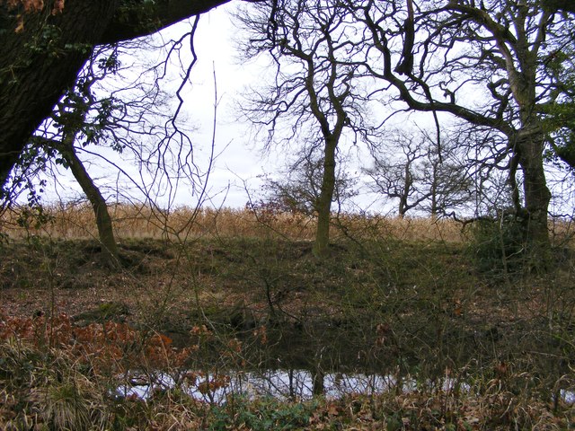
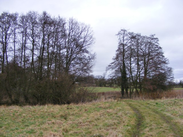
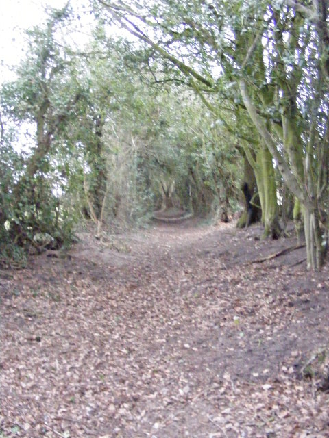
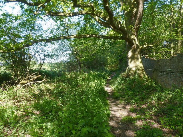
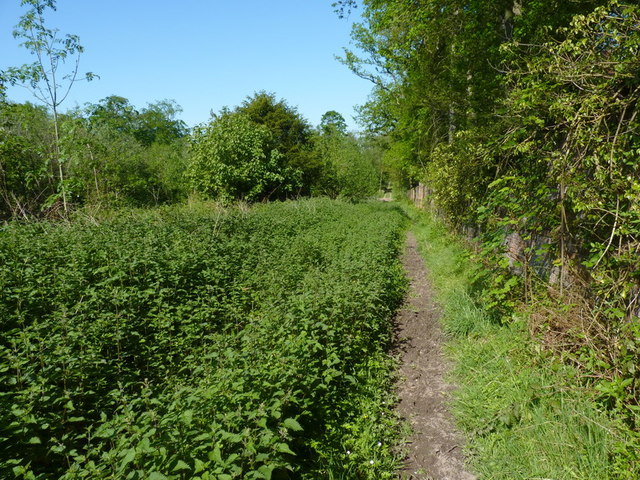
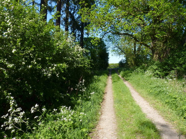
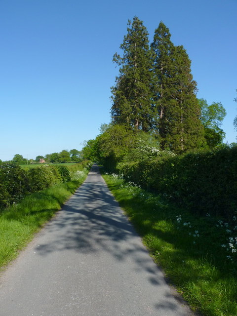
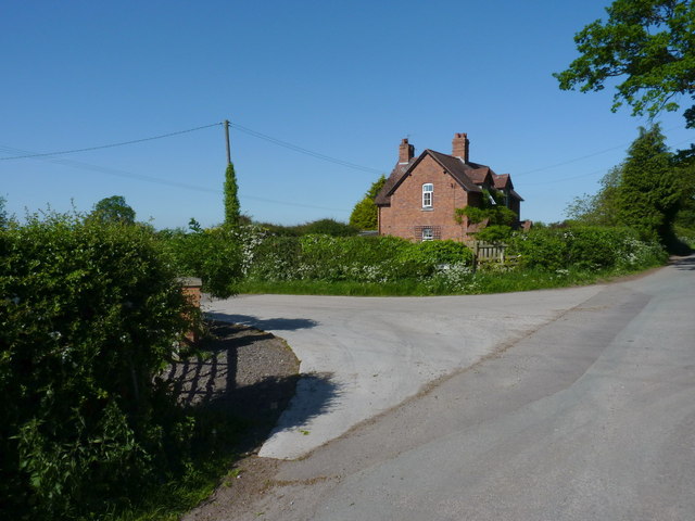
The Grove is a picturesque woodland located in Staffordshire, England. Covering an expansive area, it is known for its dense and ancient forest, making it a popular destination for nature enthusiasts and hikers. The Grove is characterized by a rich variety of tree species, including oak, beech, and birch, which create a vibrant and diverse ecosystem.
The woodland is home to an array of wildlife, including deer, rabbits, and a variety of bird species, making it a haven for nature lovers and wildlife photographers. The Grove offers a tranquil and peaceful environment, providing visitors with the opportunity to immerse themselves in nature and enjoy the beauty of the natural surroundings.
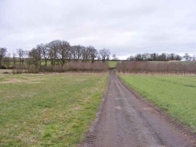
Within The Grove, there are well-maintained walking trails that wind through the forest, allowing visitors to explore and admire the scenic views. These trails are suitable for all levels of fitness and offer a chance to discover hidden gems, such as small streams and picturesque clearings.
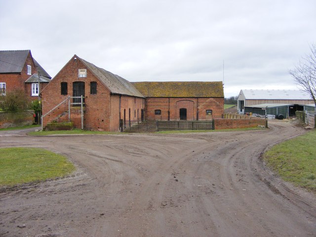
The Grove also boasts a visitor center, where visitors can learn more about the woodland's history, wildlife, and conservation efforts. The center provides educational resources and guided tours for those interested in delving deeper into the natural wonders of The Grove.
Overall, The Grove in Staffordshire is a captivating woodland that offers a peaceful retreat from the hustle and bustle of everyday life. With its ancient trees, diverse wildlife, and well-maintained trails, it is a must-visit destination for nature enthusiasts and those seeking a rejuvenating outdoor experience.
If you have any feedback on the listing, please let us know in the comments section below.
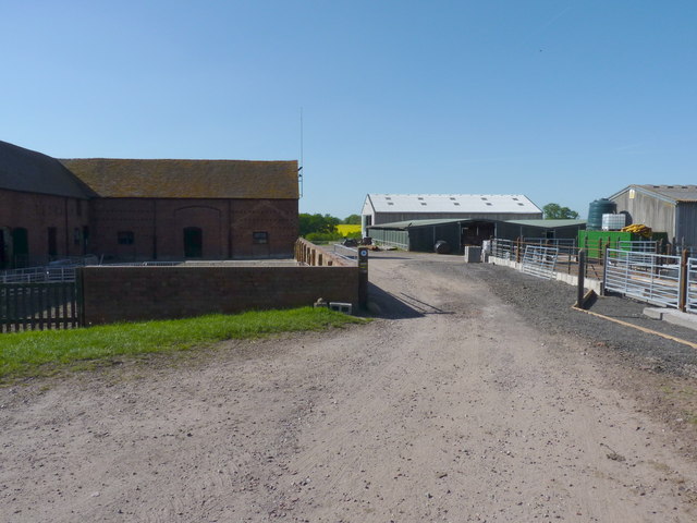
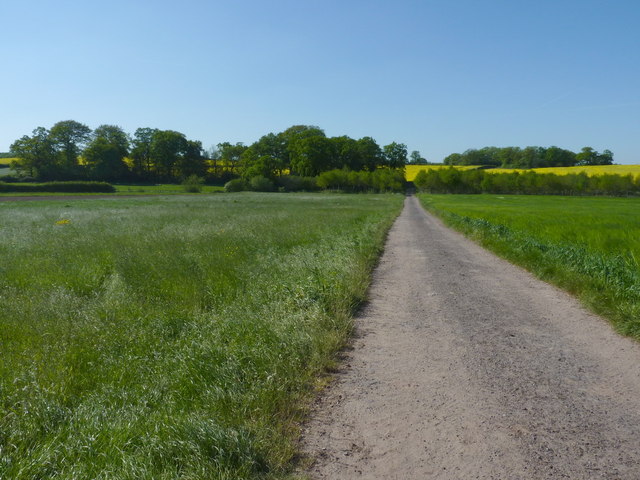
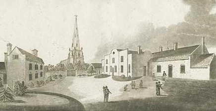
The Grove Images
Images are sourced within 2km of 52.657872/-2.2057771 or Grid Reference SJ8606. Thanks to Geograph Open Source API. All images are credited.
The Grove is located at Grid Ref: SJ8606 (Lat: 52.657872, Lng: -2.2057771)
Administrative County: Staffordshire
District: South Staffordshire
Police Authority: Staffordshire
What 3 Words
///whites.search.hammer. Near Brewood, Staffordshire
Nearby Locations
Related Wikis

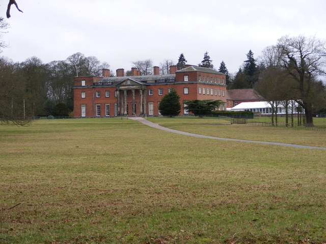
Chillington Hall
Chillington Hall is a Georgian country house near Brewood, Staffordshire, England, four miles northwest of Wolverhampton. It is the residence of the Giffard...

Gunstone
Gunstone is a hamlet in the South Staffordshire district of Staffordshire, England. It is situated north east of the village of Codsall. == Place name... ==
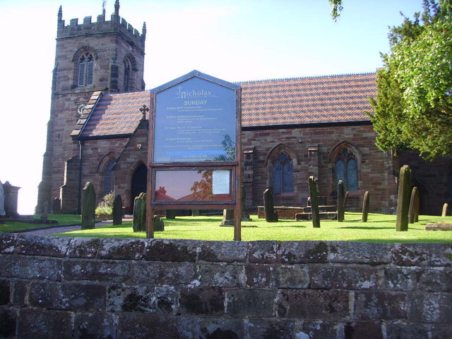
St Nicholas' Church, Codsall
St Nicholas’ Church, Codsall is a Grade II* listed parish church in the Church of England in Codsall == History == The doorway is Norman. The west tower...

Royal Oak
The Royal Oak was the English oak tree within which the future King Charles II of England hid to escape the Roundheads following the Battle of Worcester...
Brewood Grammar School
Brewood Grammar School was a boys' school in the village of Brewood in South Staffordshire, England. Founded in the mid 15th century by the Bishop of Lichfield...

Boscobel House
Boscobel House (grid reference SJ837082) is a Grade II* listed building in the parish of Boscobel in Shropshire. It has been, at various times, a farmhouse...

Boscobel, Shropshire
Boscobel is a civil parish in the east of Shropshire, England, on the border with Staffordshire. To the north is the Staffordshire village of Bishops Wood...
St Dominic's Grammar School
St Dominic's Grammar School (formerly St Dominic's Brewood and St Dominic's High School For Girls and boys ) is a private day school for girls and boys...
Nearby Amenities
Located within 500m of 52.657872,-2.2057771Have you been to The Grove?
Leave your review of The Grove below (or comments, questions and feedback).