Viner's Wood

Wood, Forest in Gloucestershire Stroud

England

Viner's Wood

Painswick Rugby Club Looking SE.
Painswick Rugby Club Credit: Penny Mayes

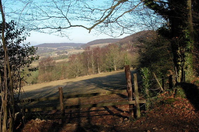
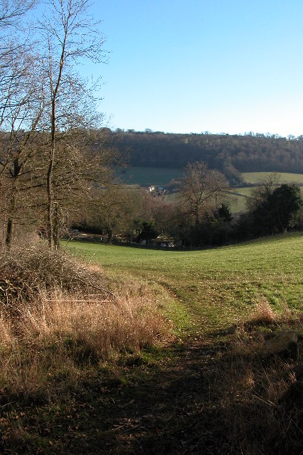
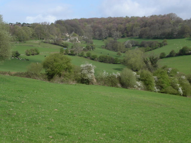
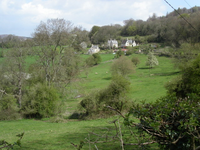
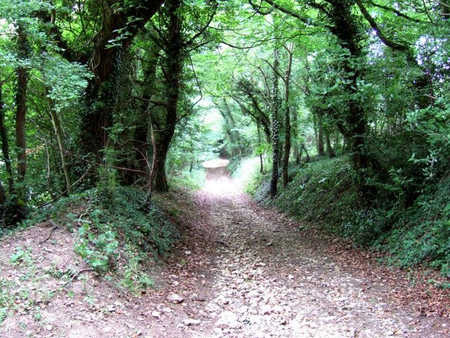
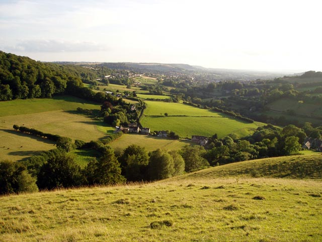
Viner's Wood is a picturesque woodland located in the county of Gloucestershire, England. Situated near the village of Viner's Green, the wood covers an area of approximately 50 acres and forms part of the larger Forest of Dean.

This ancient woodland boasts a diverse range of tree species, including oak, beech, ash, and birch. The dense canopy provides a haven for an array of wildlife, making it a popular spot for nature enthusiasts and birdwatchers alike. Visitors can expect to spot a variety of bird species, such as woodpeckers, owls, and thrushes, as well as small mammals like squirrels and hedgehogs.

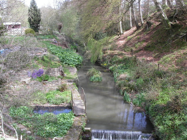
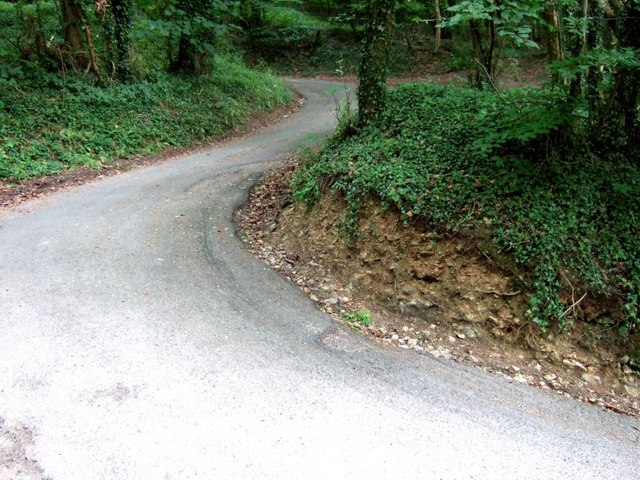
Viner's Wood is crisscrossed with a network of footpaths, offering visitors the opportunity to explore its natural beauty. The trails wind through the woodland, passing through groves of towering trees, carpeted with a rich tapestry of wildflowers during the spring and summer months.

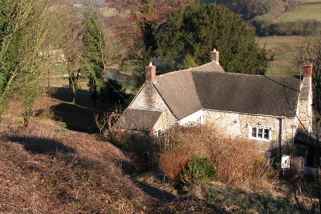
The wood also holds historical significance, with evidence of early human habitation dating back to the Bronze Age. Archaeological finds, including pottery fragments and tools, have been discovered within the woodland, shedding light on the area's ancient past.

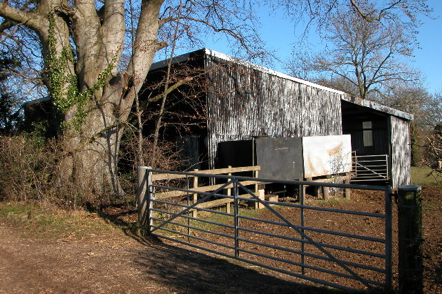
Viner's Wood is managed by the Forestry Commission, ensuring the preservation and conservation of its natural habitat. It is open to the public year-round, providing a tranquil and idyllic setting for leisurely walks, picnics, and nature observation.

If you have any feedback on the listing, please let us know in the comments section below.
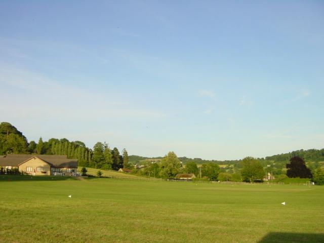
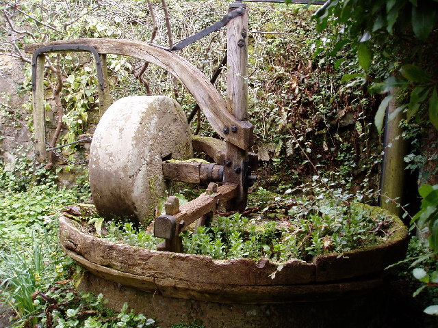
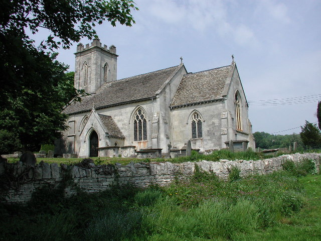
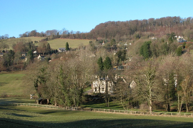
Viner's Wood Images

Images are sourced within 2km of 51.765907/-2.201648 or Grid Reference SO8607. Thanks to Geograph Open Source API. All images are credited.

Painswick Rugby Club Looking SE.
Painswick Rugby Club
Looking SE.
View from Painswick Rugby Club During a Bambi Owners' Club rally.
View from Painswick Rugby Club
During a Bambi Owners' Club rally.
Cider with Rosie This rather overgrown cider press is just off the B4070, where the path leads up to Wickridge Hill. It's only a quarter of a mile from Slad where Laurie Lee, of "Cider with Rosie" fame was a regular at the Woolpack Inn
Cider with Rosie
This rather overgrown cider press is just off the B4070, where the path leads up to Wickridge Hill. It's only a quarter of a mile from Slad where Laurie Lee, of "Cider with Rosie" fame was a regular at the Woolpack Inn
Pitchcombe (Glos) St John the Baptist's Church
Slad The village of Slad lies in one of the valleys above Stroud and is famous as the home of writer Laurie Lee and the setting for his book 'Cider with Rosie'.
Slad
The village of Slad lies in one of the valleys above Stroud and is famous as the home of writer Laurie Lee and the setting for his book 'Cider with Rosie'.
The Frith The Frith is woodland on a hill between Slad and Painswick, this is a view from The Frith to the north
The Frith
The Frith is woodland on a hill between Slad and Painswick, this is a view from The Frith to the north
Farm building to the north of Worgan's Farm, Slad This farm building is on top of a hill above the village of Slad.
Farm building to the north of Worgan's Farm, Slad
This farm building is on top of a hill above the village of Slad.
View across the Slad valley to Knapp Lane
Holy Trinity Church, Slad
Rose Bank, cottage in the village of Slad A fairly typical Cotswold-stone cottage in the Slad valley.  In fact this one is the former home of the late Laurie Lee, the author whose book, 'Cider with Rosie' reflected on his childhood in the Slad valley.  The cottage is Grade II listed.

Historic England description
PAINSWICK SLAD SO 80 NE 5/301 Rose Bank II Detached cottage. Early C18 front, C19 back wing. Coursed and squared rubble, concrete tile roof, large external gable stack on outer end of wing and 2 small gable stacks to main blocks. A T-plan, with symmetrical north facing main block to which long service wing probably added later. North front is 2½ storeys, 5-windowed, three 2-light gabled dormers with some leaded glazing over 3:2:2:3- light transomed casements at first and ground floors, all to wood lintels, but window 2 is blank at each level. C18 wide plank door in chamfered surround centrally. Back wing includes two 3-light chamfer mullioned casements with stopped drip and a lean-to in the internal angle, and a 2-light over plank door, also a 3-light dormer. Interior: various chamfered beams and C19 plank and rail doors. Birthplace of Laurie Lee, who still was in the house (April 1984). Not to be confused with Rose Cottage (q.v.).
Source: <span class="nowrap"><a title="https://www.historicengland.org.uk/listing/the-list/list-entry/1153653" rel="nofollow ugc noopener" href="https://www.historicengland.org.uk/listing/the-list/list-entry/1153653">Link</a><img style="margin-left:2px;" alt="External link" title="External link - shift click to open in new window" src="https://s1.geograph.org.uk/img/external.png" width="10" height="10"/></span>
Rose Bank, cottage in the village of Slad
A fairly typical Cotswold-stone cottage in the Slad valley. In fact this one is the former home of the late Laurie Lee, the author whose book, 'Cider with Rosie' reflected on his childhood in the Slad valley. The cottage is Grade II listed. Historic England description PAINSWICK SLAD SO 80 NE 5/301 Rose Bank II Detached cottage. Early C18 front, C19 back wing. Coursed and squared rubble, concrete tile roof, large external gable stack on outer end of wing and 2 small gable stacks to main blocks. A T-plan, with symmetrical north facing main block to which long service wing probably added later. North front is 2½ storeys, 5-windowed, three 2-light gabled dormers with some leaded glazing over 3:2:2:3- light transomed casements at first and ground floors, all to wood lintels, but window 2 is blank at each level. C18 wide plank door in chamfered surround centrally. Back wing includes two 3-light chamfer mullioned casements with stopped drip and a lean-to in the internal angle, and a 2-light over plank door, also a 3-light dormer. Interior: various chamfered beams and C19 plank and rail doors. Birthplace of Laurie Lee, who still was in the house (April 1984). Not to be confused with Rose Cottage (q.v.). Source: LinkExternal link
Farmland below Whiteshill Cotswold farmland to the east and below Whiteshill village. 2Km north of Stroud.
Farmland below Whiteshill
Cotswold farmland to the east and below Whiteshill village. 2Km north of Stroud.
Painswick Stream Painswick Stream flowing South-west close to Wades Mill not far from Pitchcombe.
Painswick Stream
Painswick Stream flowing South-west close to Wades Mill not far from Pitchcombe.
Farmland at Wick Street Cotswold farmland close to Painswick. The houses are on Wick street a lane that runs between the Painswick Old road and Stepping Stone lane. An old link between Painswick and Stroud.
Farmland at Wick Street
Cotswold farmland close to Painswick. The houses are on Wick street a lane that runs between the Painswick Old road and Stepping Stone lane. An old link between Painswick and Stroud.
Dunkitehill bends A hairpin bend up a steep hill followed by another sharp bend make this little lane from Slad to Catswood quite an interesting drive. The lane here is passing through Dunkitehill Wood.
Dunkitehill bends
A hairpin bend up a steep hill followed by another sharp bend make this little lane from Slad to Catswood quite an interesting drive. The lane here is passing through Dunkitehill Wood.
Bridleway to Slad Three woods meet here, Redding Wood, Catswood and Dunkitehill Wood. This bridleway heads roughly north through Redding Wood hitting a lane that leads to Slad near Steanbridge Farm.
Bridleway to Slad
Three woods meet here, Redding Wood, Catswood and Dunkitehill Wood. This bridleway heads roughly north through Redding Wood hitting a lane that leads to Slad near Steanbridge Farm.
Sheepehouse Cottage, Painswick Rather a grand cottage with its many gables and mullioned windows, on the steep Stepping Stone Lane south of Painswick.
Sheepehouse Cottage, Painswick
Rather a grand cottage with its many gables and mullioned windows, on the steep Stepping Stone Lane south of Painswick.
The Vatch from Swifts Hill Swifts Hill is a nature reserve owned by the Gloucestershire Wildlife Trust, called the Elliot Nature Reserve after the former owners. The Vatch (vatch = valley) is the small cluster of houses directly below; the town of Stroud can be seen beyond.
The Vatch from Swifts Hill
Swifts Hill is a nature reserve owned by the Gloucestershire Wildlife Trust, called the Elliot Nature Reserve after the former owners. The Vatch (vatch = valley) is the small cluster of houses directly below; the town of Stroud can be seen beyond.
Hawkwood An adult education college set in a former country house just outside Stroud (<span class="nowrap"><a title="http://www.hawkwoodcollege.co.uk/main.htm" rel="nofollow ugc noopener" href="http://www.hawkwoodcollege.co.uk/main.htm">Link</a><img style="margin-left:2px;" alt="External link" title="External link - shift click to open in new window" src="https://s1.geograph.org.uk/img/external.png" width="10" height="10"/></span> ). Marked as 'The Grove' on the 1940s map.
Hawkwood
An adult education college set in a former country house just outside Stroud (LinkExternal link ). Marked as 'The Grove' on the 1940s map.
Show me another place!

Viner's Wood is located at Grid Ref: SO8607 (Lat: 51.765907, Lng: -2.201648)

Administrative County: Gloucestershire

District: Stroud

Police Authority: Gloucestershire

What 3 Words

///nosedive.influence.both. Near Stroud, Gloucestershire

Related Wikis

Hawkwood College

Hawkwood Centre for Future Thinking is a registered charity and independent centre for education in a 19th-century Grade II listed building, on 42 acres...

Pitchcombe

Pitchcombe is a village and civil parish 6 miles (9.7 km) south of Gloucester, in the Stroud district, in the county of Gloucestershire, England. In 2011...

Slad

Slad is a village in Gloucestershire, England, in the Slad Valley about 2 miles (3 km) from Stroud on the B4070 road from Stroud to Birdlip. Slad is notable...

Bull Cross, The Frith and Juniper Hill

Bull Cross, The Frith and Juniper Hill (grid reference SO872083) is a 42.33-hectare (104.6-acre) biological and geological Site of Special Scientific Interest...

Swift's Hill SSSI

Swift's Hill (grid reference SO877067) is a 9.15-hectare (22.6-acre) biological and geological Site of Special Scientific Interest in Gloucestershire,...

Church of All Saints, Stroud

The Church of All Saints is a Church of England parish church in the Uplands area of Stroud, Gloucestershire. The church is a Grade I listed building....

Court House, Painswick

The Court House is a grade I listed house in Hale Lane, Painswick, Gloucestershire, England, within the Cotswolds. The house was built in the late 16th...

Whiteshill, Stroud

Whiteshill is a village in the Cotswolds, situated between Stroud and Gloucester, in Gloucestershire, England and forms part of the Stroud urban area....

Nearby Amenities

Located within 500m of 51.765907,-2.201648
Wickridge Hill
Ele: 219
Natural: peak
Source: NPE
Lat/Long: 51.7630846/-2.1988204
Heart Wood
Place: locality
Lat/Long: 51.7628853/-2.2064121
Viner's Wood
Place: locality
Lat/Long: 51.7655546/-2.2023673
High Wood
Place: locality
Lat/Long: 51.7671349/-2.1995349
Power: pole
Lat/Long: 51.7690814/-2.2003422
Power: pole
Lat/Long: 51.7701944/-2.2016243
Power: pole
Lat/Long: 51.7694209/-2.1992478
Power: pole
Lat/Long: 51.7691904/-2.1998679
Power: pole
Lat/Long: 51.7696217/-2.2009725
Give Way
Direction: forward
Lat/Long: 51.7688261/-2.2005425
Power: pole
Lat/Long: 51.7685121/-2.2004924
Post Box
Wick Street
Collection Times: Mo-Fr 07:30,15:24; Sa 12:30; Su off
Drive Through: no
Fixme: Previously noted as missing collection plate. There was a collection plate on 9/2/2019, but not a typical modern Royal Mail one, and very unusually it shows both am & pm collection times for Mo-Fr.
Note: No ref, though a name is displayed, meaning this is almost certainly GL6 41, which is not obviously in the location displayed by the Royal Mail database a little further to the northeast #surveyme
Operator: Royal Mail
Post Box Type: wall
Royal Cypher: VR
Royal Cypher Wikidata: Q33102356
Source: survey
Lat/Long: 51.7651774/-2.2055864
Give Way
Direction: forward
Lat/Long: 51.7689113/-2.2004159
The data included in this document is from www.openstreetmap.org. The data is made available under ODbL.

Have you been to Viner's Wood?

Leave your review of Viner's Wood below (or comments, questions and feedback).