Dale Flat
Wood, Forest in Staffordshire South Staffordshire
England
Dale Flat
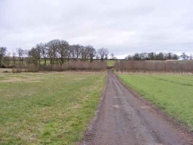
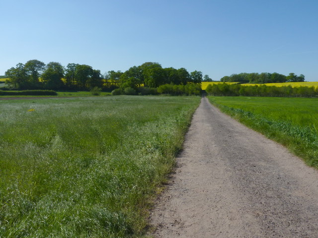
Dale Flat is a charming village located in the county of Staffordshire, England. Nestled within the picturesque Staffordshire Moorlands, it is renowned for its abundant woodlands and forests, making it a haven for nature enthusiasts and outdoor adventurers.
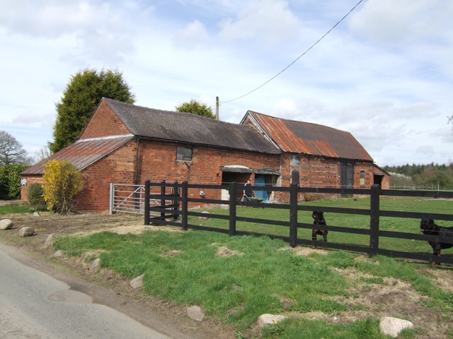
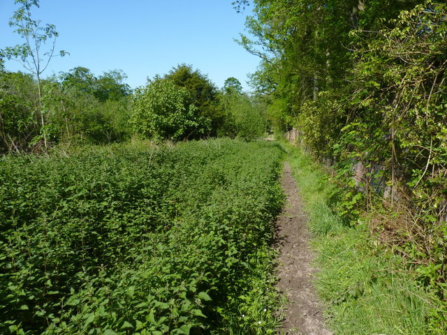
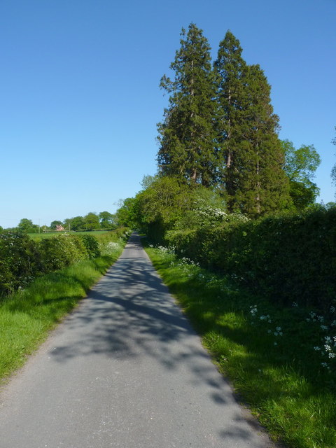
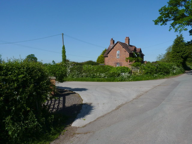
The village is situated in a valley, surrounded by rolling hills and lush greenery. Its name, Dale Flat, reflects the area's topography, as it is predominantly flat, offering ample opportunities for leisurely walks and cycling. The village is dotted with quaint cottages, some of which date back several centuries, adding to its rustic charm.
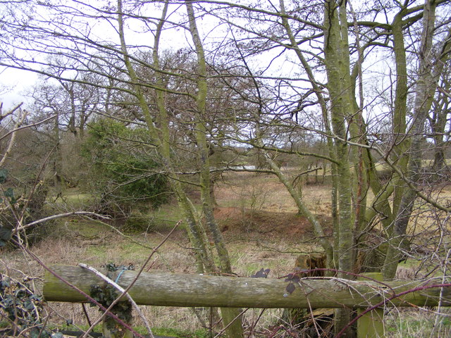
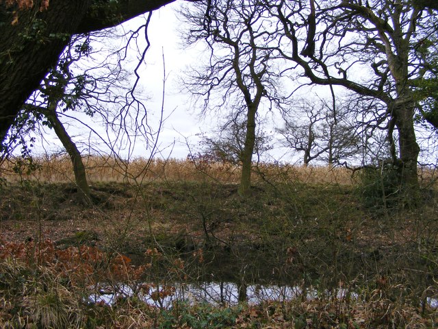
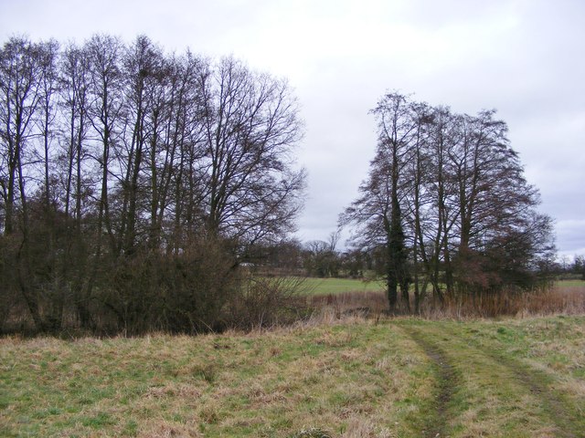
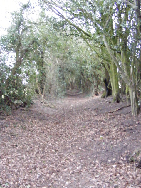
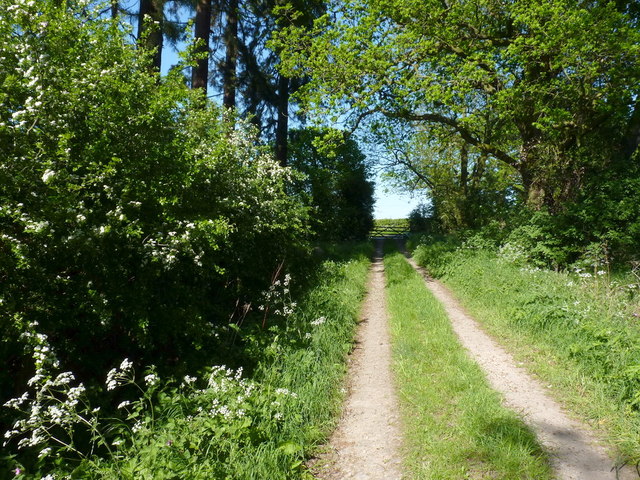
One of the main attractions in Dale Flat is its expansive woodlands and forests. The surrounding area is home to a diverse range of tree species, including oak, beech, and birch, creating a rich and vibrant ecosystem. The woodlands provide a habitat for a variety of wildlife, from small mammals like squirrels and rabbits to larger creatures such as deer and foxes.
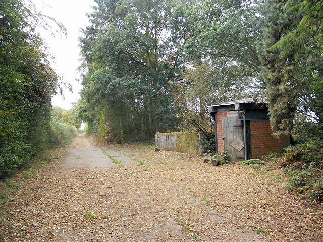
For those seeking outdoor activities, Dale Flat offers numerous hiking trails and nature walks. The nearby forests provide ample opportunities for wildlife spotting and birdwatching. The village also has a well-maintained park with playgrounds and picnic areas, making it an ideal destination for families.
In terms of amenities, Dale Flat has a small but thriving community. It boasts a village hall that hosts various events and gatherings throughout the year. There is also a local pub, where residents and visitors can enjoy a pint or a traditional English meal.
Overall, Dale Flat is a tranquil and scenic village, offering a perfect retreat for those seeking a peaceful getaway amidst nature's beauty.
If you have any feedback on the listing, please let us know in the comments section below.
Dale Flat Images
Images are sourced within 2km of 52.658572/-2.195476 or Grid Reference SJ8606. Thanks to Geograph Open Source API. All images are credited.

Dale Flat is located at Grid Ref: SJ8606 (Lat: 52.658572, Lng: -2.195476)
Administrative County: Staffordshire
District: South Staffordshire
Police Authority: Staffordshire
What 3 Words
///gather.later.crisp. Near Brewood, Staffordshire
Nearby Locations
Related Wikis

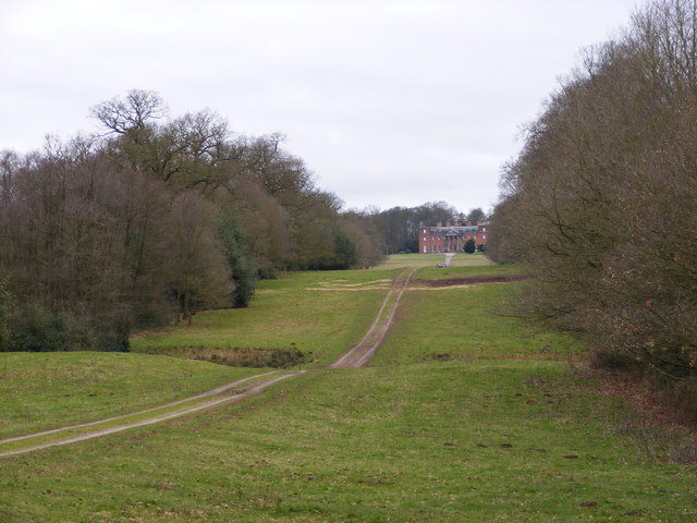
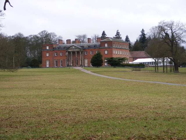
Chillington Hall
Chillington Hall is a Georgian country house near Brewood, Staffordshire, England, four miles northwest of Wolverhampton. It is the residence of the Giffard...

Gunstone
Gunstone is a hamlet in the South Staffordshire district of Staffordshire, England. It is situated north east of the village of Codsall. == Place name... ==
Brewood Grammar School
Brewood Grammar School was a boys' school in the village of Brewood in South Staffordshire, England. Founded in the mid 15th century by the Bishop of Lichfield...
St Dominic's Grammar School
St Dominic's Grammar School (formerly St Dominic's Brewood and St Dominic's High School For Girls and boys ) is a private day school for girls and boys...
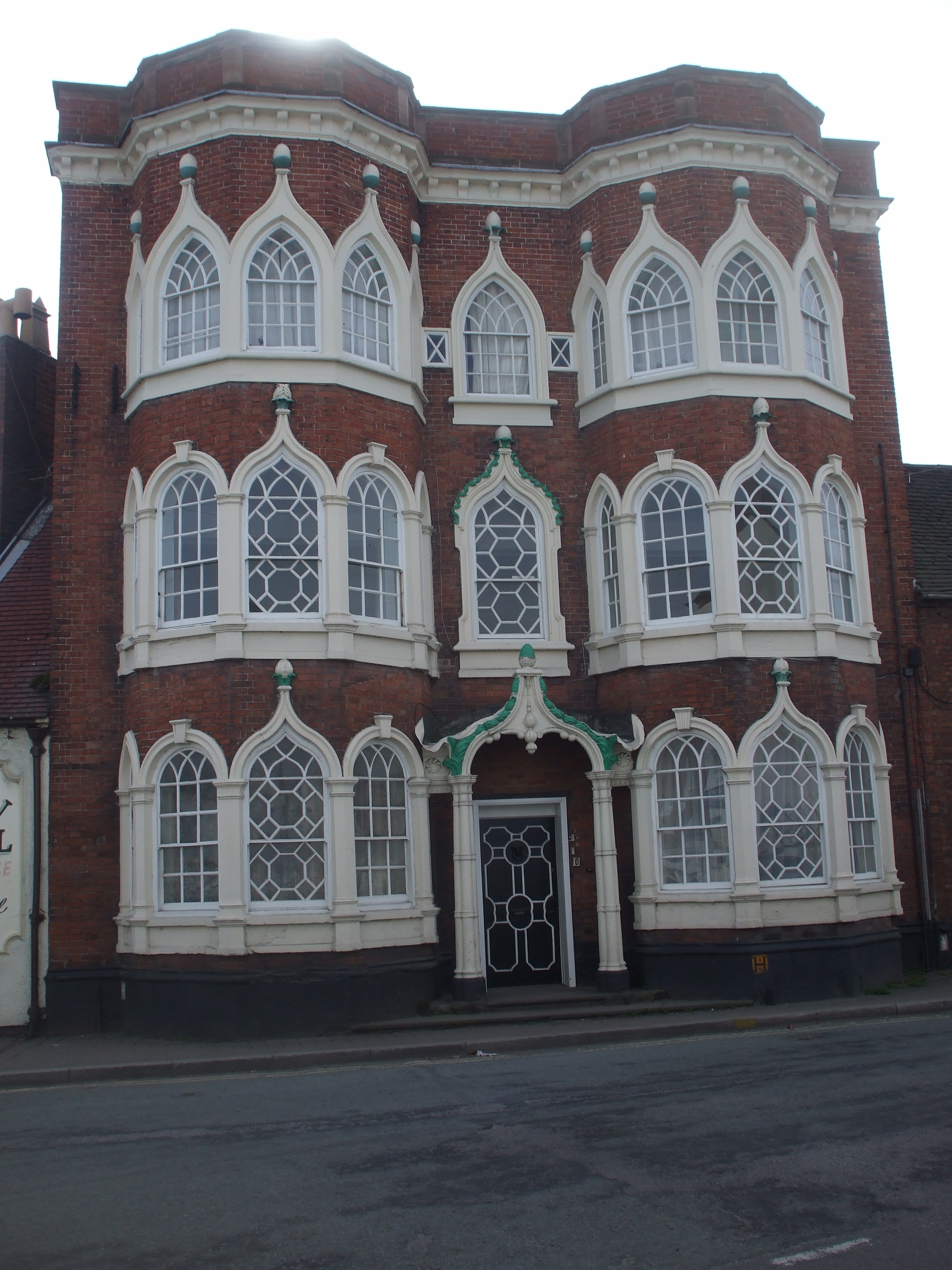
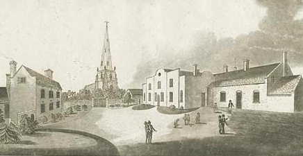
Speedwell Castle
Speedwell Castle is a mid-18th-century house at the centre of Brewood, Staffordshire, between Wolverhampton and Stafford. Described by Pevsner as a "peach...
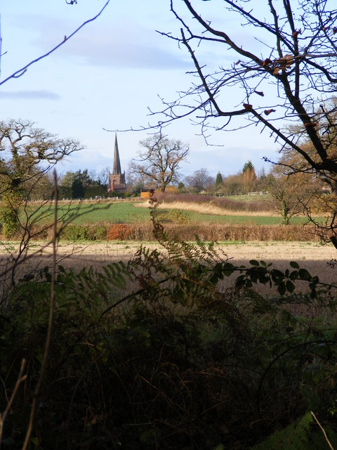
Brewood
Brewood is an ancient market town in the civil parish of Brewood and Coven, in the South Staffordshire district, in the county of Staffordshire, England...
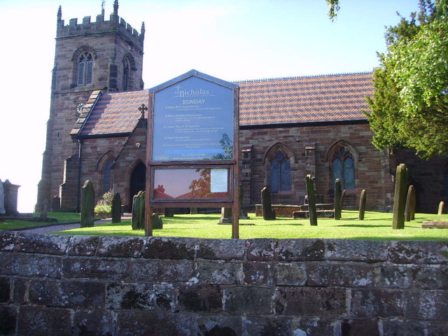
St Nicholas' Church, Codsall
St Nicholas’ Church, Codsall is a Grade II* listed parish church in the Church of England in Codsall == History == The doorway is Norman. The west tower...

Belvide Reservoir
Belvide Reservoir is a reservoir in South Staffordshire, England. It was built in 1833 to supply the Birmingham and Liverpool Junction Canal, and has been...
Related Videos

Canal Towns and Villages - Brewood
Because of the winter closure program I am unable to travel any great distance, so I've decided to take a closer look at one of our ...

Back on my own cruising the canals | Solo female Boating
This week I leave Norbury behind and say goodbye to my good friend Nikki - a fellow solo female boater. I continue my ...

HIDDEN SECRETS of the Shropshire Union Canal by Narrowboat - Ep. 85
Carved through cuttings and riding embankments, we are uncovering the hidden secrets of the Shropshire Union Canal as we ...

CHASEWATER RAILWAY SANTA SPECIALS, 1st DECEMBER 2019
December 1st was the second day of the 'Santa Special' series on Chasewater Railway. The weather forecast was for full sun all ...
Nearby Amenities
Located within 500m of 52.658572,-2.195476Have you been to Dale Flat?
Leave your review of Dale Flat below (or comments, questions and feedback).