The Hanging

Wood, Forest in Dorset

England

The Hanging

Old Bridge Marker beside the A357 on Durweston Bridge Bridge Marker set in the south parapet of Durweston Bridge below DO_TRADURbr. On the boundary of Durweston and Stourpaine parishes. Grade II* Listed details <span class="nowrap"><a title="https://historicengland.org.uk/listing/the-list/list-entry/1110240" rel="nofollow ugc noopener" href="https://historicengland.org.uk/listing/the-list/list-entry/1110240">Link</a><img style="margin-left:2px;" alt="External link" title="External link - shift click to open in new window" src="https://s1.geograph.org.uk/img/external.png" width="10" height="10"/></span>.

Milestone Society National ID: DO_DURSTO01br
Old Bridge Marker beside the A357 on Durweston Bridge Credit: M Faherty

The Hanging is a picturesque woodland located in the county of Dorset, England. Nestled within the heart of the Dorset Area of Outstanding Natural Beauty, this enchanting forest is a haven for nature enthusiasts and outdoor adventurers alike.

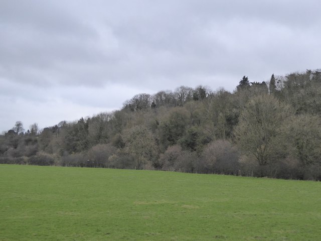
Covering an area of approximately 200 acres, The Hanging is characterized by its dense canopy of towering trees, including oak, beech, and ash. These ancient woodlands create a serene and tranquil atmosphere, providing a perfect escape from the hustle and bustle of everyday life.

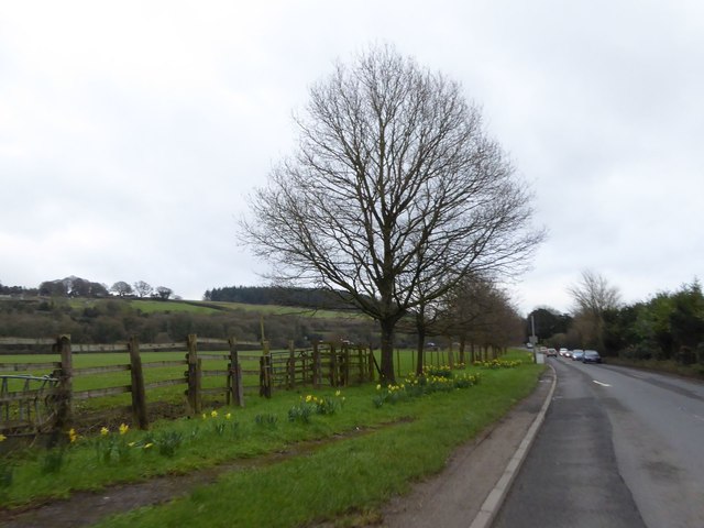
The forest is crisscrossed by a network of well-maintained walking trails, allowing visitors to explore its diverse flora and fauna. The forest floor is carpeted with a rich tapestry of wildflowers, including bluebells, primroses, and wood anemones, which create a vibrant display during the spring months.

Wildlife flourishes in The Hanging, with a variety of species calling this woodland home. Visitors may spot deer, foxes, and rabbits, as well as a plethora of bird species, including woodpeckers, owls, and thrushes. The Hanging is a designated Site of Special Scientific Interest due to its ecological importance and the rare species that inhabit it.

For those seeking a spot of tranquility, The Hanging offers several secluded picnic areas, perfect for enjoying a packed lunch amidst the beauty of nature. Visitors can also take advantage of the designated camping sites, providing an opportunity to spend a night under the stars, surrounded by the peaceful sounds of the forest.

Overall, The Hanging in Dorset is a captivating woodland, providing a sanctuary for both wildlife and humans alike. Its natural beauty and diverse ecosystem make it a must-visit destination for anyone looking to immerse themselves in the wonders of nature.

If you have any feedback on the listing, please let us know in the comments section below.

The Hanging Images

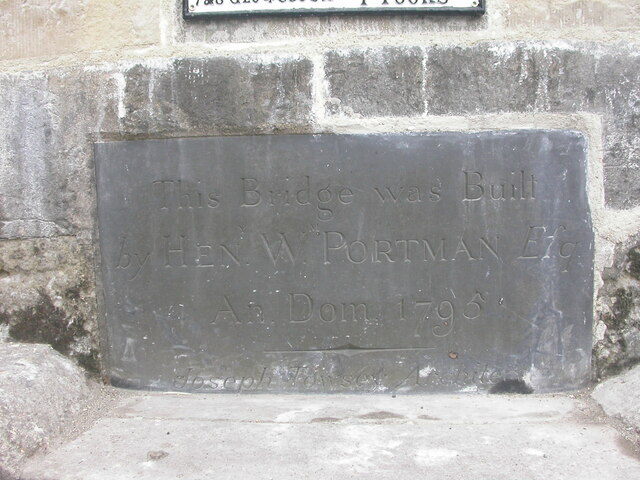
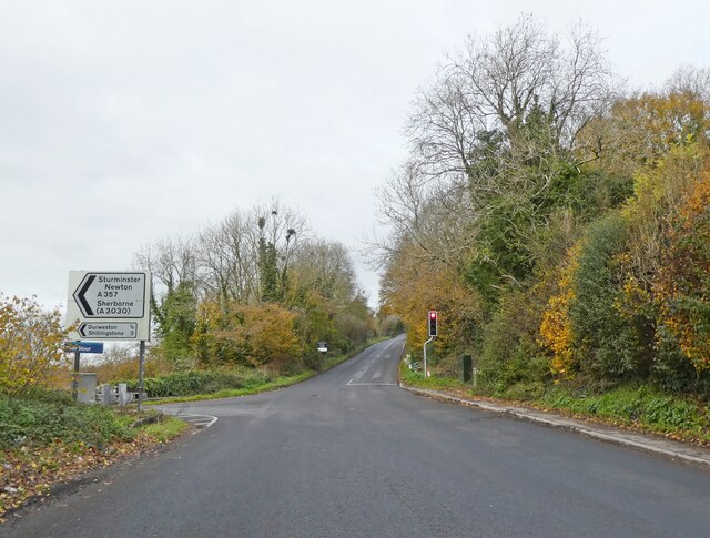
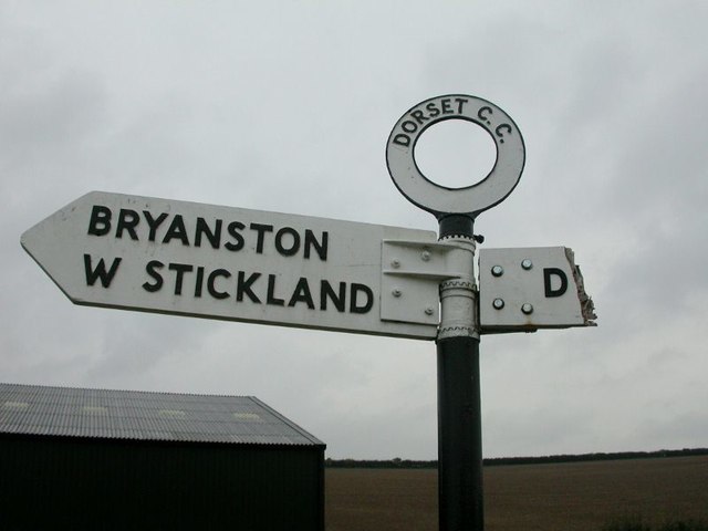
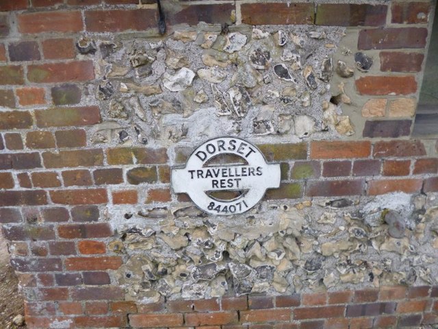
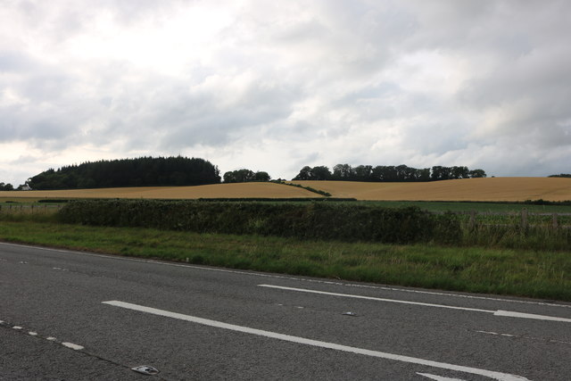
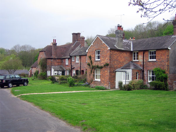
Images are sourced within 2km of 50.865546/-2.2002349 or Grid Reference ST8607. Thanks to Geograph Open Source API. All images are credited.

Old Bridge Marker beside the A357 on Durweston Bridge Bridge Marker set in the south parapet of Durweston Bridge below DO_TRADURbr. On the boundary of Durweston and Stourpaine parishes. Grade II* Listed details <span class="nowrap"><a title="https://historicengland.org.uk/listing/the-list/list-entry/1110240" rel="nofollow ugc noopener" href="https://historicengland.org.uk/listing/the-list/list-entry/1110240">Link</a><img style="margin-left:2px;" alt="External link" title="External link - shift click to open in new window" src="https://s1.geograph.org.uk/img/external.png" width="10" height="10"/></span>.

Milestone Society National ID: DO_DURSTO01br
Old Bridge Marker beside the A357 on Durweston Bridge
Bridge Marker set in the south parapet of Durweston Bridge below DO_TRADURbr. On the boundary of Durweston and Stourpaine parishes. Grade II* Listed details LinkExternal link. Milestone Society National ID: DO_DURSTO01br
Turning for Sturminster Newton
Lay-by on the A357 north of Durweston A lay-by that resulted from road realignment; the village sign for Durweston is on the left
Lay-by on the A357 north of Durweston
A lay-by that resulted from road realignment; the village sign for Durweston is on the left
Daffodils by the A357 on south of Durweston
Grassland and woodland by Durweston Bridge Grassland (this side) and woodland (beyond) on the banks of the River Stour
Grassland and woodland by Durweston Bridge
Grassland (this side) and woodland (beyond) on the banks of the River Stour
River Stour from Durweston Bridge
A357 entering Durweston
Half mile to layby A357 in Durweston
Half mile to layby
A357 in Durweston
Winterborne Stickland: downhill from Normandy Lodge Looking down the road which has come from Bryanston and Blandford, as it heads down into the village of Winterborne Stickland.

The finger-post has in recent years been fitted with a traditional style Dorset roundel giving location and grid reference. See <a href="https://www.geograph.org.uk/photo/5710890">ST8406 : Winterborne Stickland: detail of Normandy Lodge finger-post</a> for a close-up.
Winterborne Stickland: downhill from Normandy Lodge
Looking down the road which has come from Bryanston and Blandford, as it heads down into the village of Winterborne Stickland. The finger-post has in recent years been fitted with a traditional style Dorset roundel giving location and grid reference. See ST8406 : Winterborne Stickland: detail of Normandy Lodge finger-post for a close-up.
Winterborne Stickland: detail of Normandy Lodge finger-post A closer look at the traditional Dorset roundel on the signpost at this junction between Winterborne Stickland and Blandford. The six digits at the bottom are the grid reference.


See <a href="https://www.geograph.org.uk/photo/5710885">ST8406 : Winterborne Stickland: downhill from Normandy Lodge</a> for the wider view.
Winterborne Stickland: detail of Normandy Lodge finger-post
A closer look at the traditional Dorset roundel on the signpost at this junction between Winterborne Stickland and Blandford. The six digits at the bottom are the grid reference. See ST8406 : Winterborne Stickland: downhill from Normandy Lodge for the wider view.
Old Direction Sign - Signpost by the A357, Durweston Annulus & bar finial - 2 arms; Dorset halo with NGR by the A357, in parish of Durweston (North Dorset District), Durweston Cross, in village centre at crossroads with Water Lane, on verge.

Surveyed

Milestone Society National ID: DO_ST8508.
Old Direction Sign - Signpost by the A357, Durweston
Annulus & bar finial - 2 arms; Dorset halo with NGR by the A357, in parish of Durweston (North Dorset District), Durweston Cross, in village centre at crossroads with Water Lane, on verge. Surveyed Milestone Society National ID: DO_ST8508.
Old Bridge Marker by the A357, Durweston Bridge Bridge Marker by the A357, in parish of Durweston (North Dorset District), South parapet of Durweston Bridge.

Inscription reads:-
DORSET
ANY PERSON WILFULLY INJURING
ANY PART OF THIS COUNTY BRIDGE
WILL BE GUILTY OF FELONY AND
UPON CONVICTION LIABLE TO BE
TRANSPORTED FOR LIFE
BY THE COURT
7&8 GEO 4 C30 S13 T FOOKS

Durweston Bridge is Grade II* listed.
List Entry Number: 1110240 <span class="nowrap"><a title="https://historicengland.org.uk/listing/the-list/list-entry/1110240" rel="nofollow ugc noopener" href="https://historicengland.org.uk/listing/the-list/list-entry/1110240">Link</a><img style="margin-left:2px;" alt="External link" title="External link - shift click to open in new window" src="https://s1.geograph.org.uk/img/external.png" width="10" height="10"/></span>

Surveyed

Milestone Society National ID: DO_TRADURbr
Old Bridge Marker by the A357, Durweston Bridge
Bridge Marker by the A357, in parish of Durweston (North Dorset District), South parapet of Durweston Bridge. Inscription reads:- DORSET ANY PERSON WILFULLY INJURING ANY PART OF THIS COUNTY BRIDGE WILL BE GUILTY OF FELONY AND UPON CONVICTION LIABLE TO BE TRANSPORTED FOR LIFE BY THE COURT 7&8 GEO 4 C30 S13 T FOOKS Durweston Bridge is Grade II* listed. List Entry Number: 1110240 LinkExternal link Surveyed Milestone Society National ID: DO_TRADURbr
Old Direction Sign - Signpost by Milton Lane, Traveller's Rest, Durweston parish Annulus finial - 2 arms; Dorset halo without NGR by the UC road, in parish of Durweston (North Dorset District), Traveller's Rest, on verge North of farm at Milton Lane junction with farm track, Norton Lane.

Surveyed

Milestone Society National ID: DO_ST8407A
Old Direction Sign - Signpost by Milton Lane, Traveller's Rest, Durweston parish
Annulus finial - 2 arms; Dorset halo without NGR by the UC road, in parish of Durweston (North Dorset District), Traveller's Rest, on verge North of farm at Milton Lane junction with farm track, Norton Lane. Surveyed Milestone Society National ID: DO_ST8407A
Old Direction Sign - Signpost by Traveller's Rest, Milton Lane, Durweston parish Finial only - no arms; Dorset halo with NGR by the UC road, in parish of Durweston (North Dorset District), Traveller's Rest, Milton Lane, attached to wall of long barn facing road.

Surveyed

Milestone Society National ID: DO_ST8407B
Old Direction Sign - Signpost by Traveller's Rest, Milton Lane, Durweston parish
Finial only - no arms; Dorset halo with NGR by the UC road, in parish of Durweston (North Dorset District), Traveller's Rest, Milton Lane, attached to wall of long barn facing road. Surveyed Milestone Society National ID: DO_ST8407B
Shaftesbury Road beyond Blandford Forum
Shaston Road, Stourpaine
Show me another place!

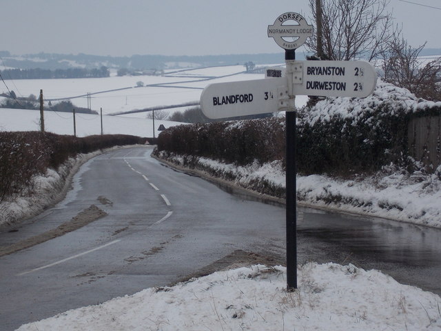
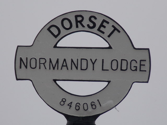
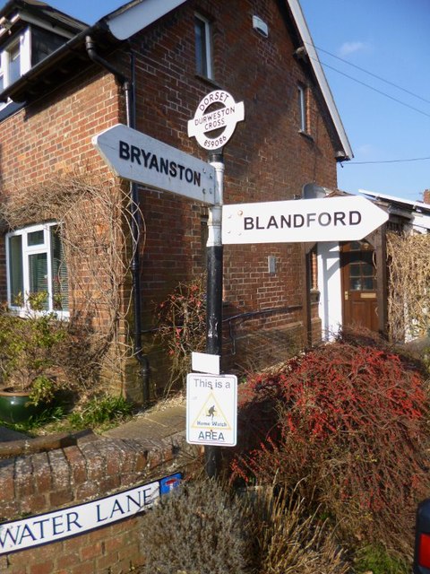
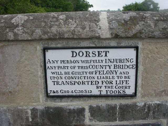
The Hanging is located at Grid Ref: ST8607 (Lat: 50.865546, Lng: -2.2002349)

Unitary Authority: Dorset

Police Authority: Dorset

What 3 Words

///iron.activates.idea. Near Blandford Forum, Dorset

Related Wikis

The Coade Hall

The Coade Hall is a brick-built theatre and concert hall at Bryanston School, near Blandford Forum in Dorset, England. == History == It was opened on...

Bryanston School

Bryanston School is a public school (English private boarding and day school for pupils aged 13–18) located next to the village of Bryanston, and near...
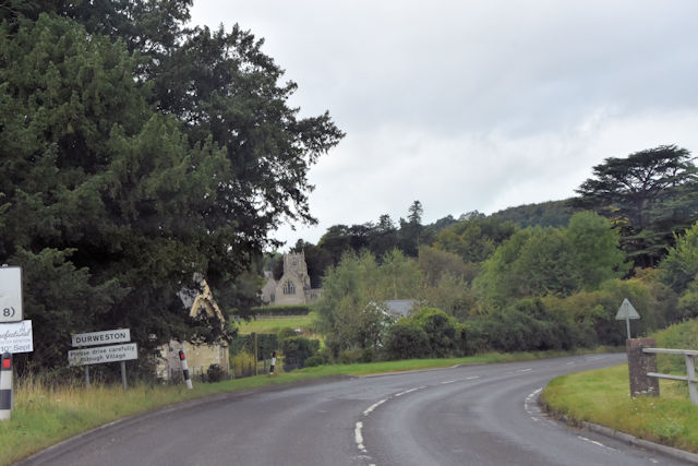
Durweston

Durweston ( dər-WES-tən) is a village and civil parish in the English county of Dorset. It lies two miles (three kilometres) northwest of the town of Blandford...

Bryanston

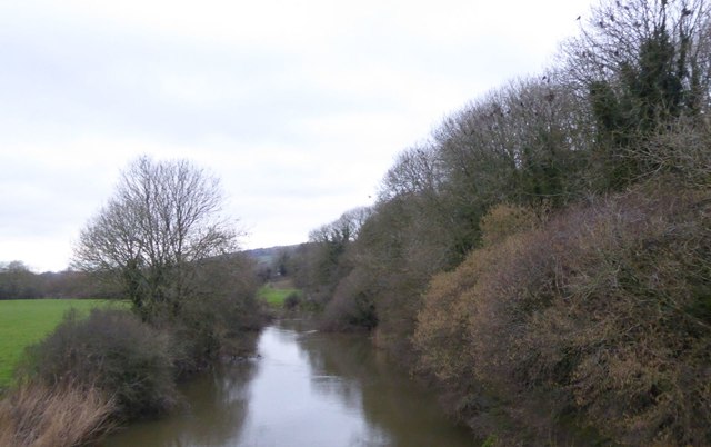
Bryanston is a village and civil parish in north Dorset, England, situated on the River Stour 1 mile (1.5 kilometres) west of Blandford Forum. In the...

Stourpaine and Durweston railway station

Stourpaine & Durweston Halt was a railway station in the English county of Dorset. It was located between Shillingstone and Blandford Forum on the Somerset...

Stourpaine

Stourpaine () is a village and civil parish in the ceremonial county of Dorset in southern England. It is situated in the valley of the River Stour in...

The Blandford School

The Blandford School is a coeducational secondary school located in Blandford Forum in the English county of Dorset.It is a voluntary controlled school...

Blandford Forum

Blandford Forum ( BLAN-fərd) is a market town in Dorset, England, by the River Stour 13 miles (21 kilometres) northwest of Poole. It had a population of...

Nearby Amenities

Located within 500m of 50.865546,-2.2002349
Material: wood
Power: pole
Source: bing
Lat/Long: 50.8636539/-2.1951427
Material: wood
Power: pole
Source: bing
Lat/Long: 50.8644981/-2.196076
Material: wood
Power: pole
Source: bing
Lat/Long: 50.8653992/-2.1971153
Material: wood
Power: pole
Source: bing
Lat/Long: 50.8680264/-2.1998983
Material: wood
Power: pole
Source: bing
Lat/Long: 50.8689137/-2.200859
Material: wood
Power: pole
Source: bing
Lat/Long: 50.8698138/-2.2018646
Barrier: stile
Lat/Long: 50.8656572/-2.1931299
The data included in this document is from www.openstreetmap.org. The data is made available under ODbL.

Have you been to The Hanging?

Leave your review of The Hanging below (or comments, questions and feedback).