The Shrubbery
Wood, Forest in Dorset
England
The Shrubbery
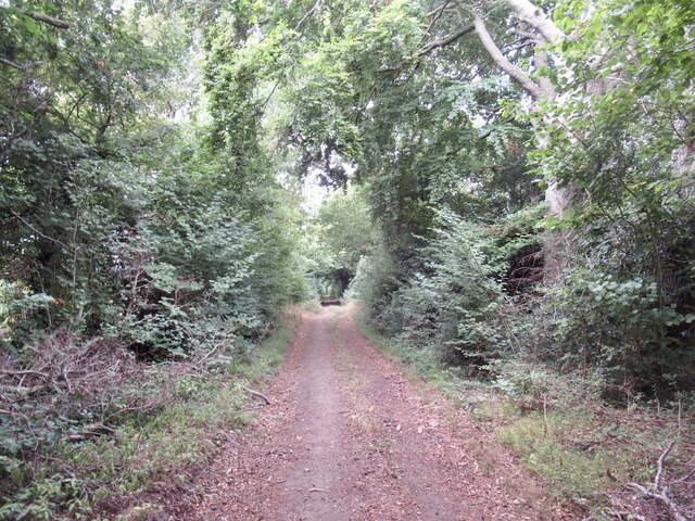
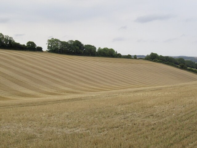
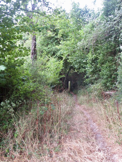
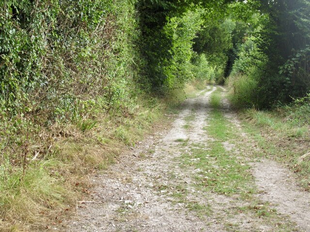
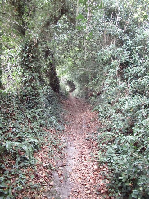
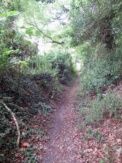
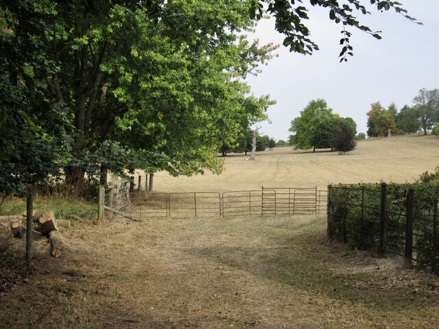
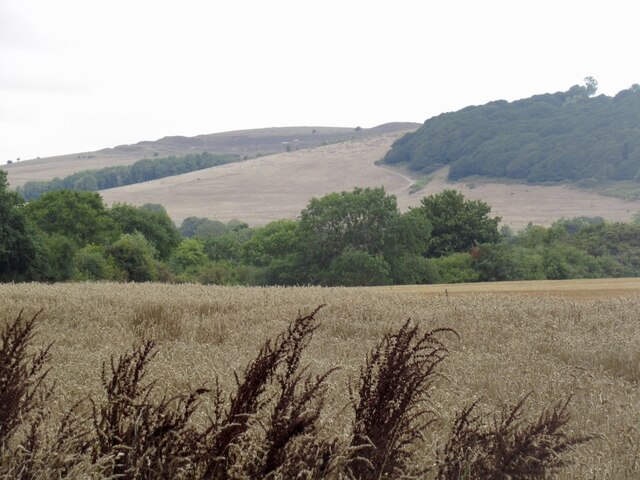
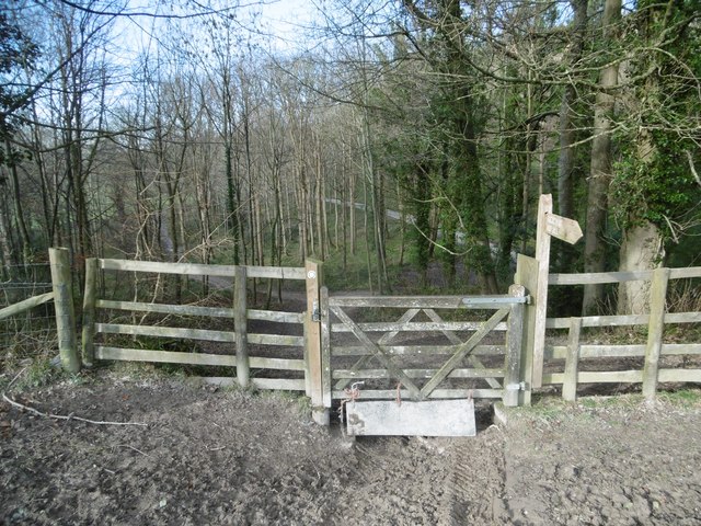
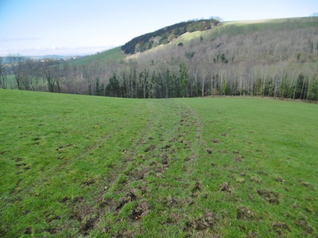
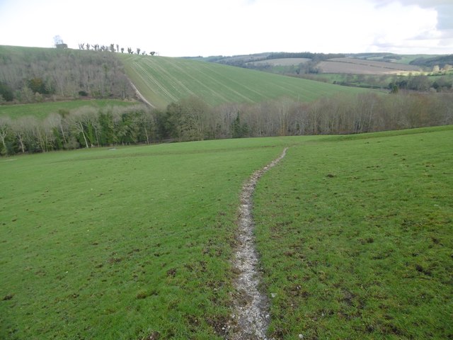
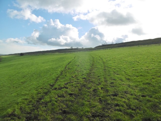
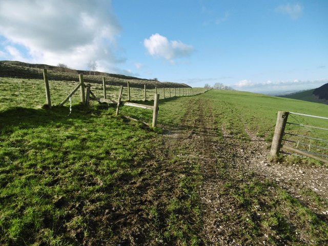
The Shrubbery, located in Dorset, is a picturesque wood or forest area that offers a serene and tranquil environment for nature enthusiasts and outdoor lovers. Situated in the heart of the English countryside, it covers a vast expanse of land, stretching across approximately 100 acres.
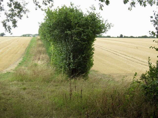
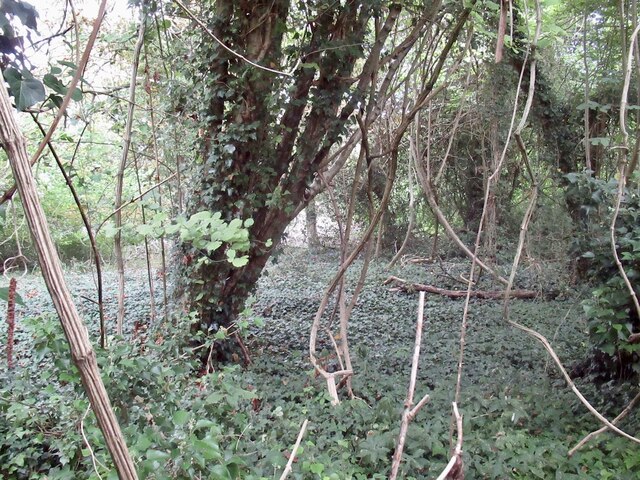
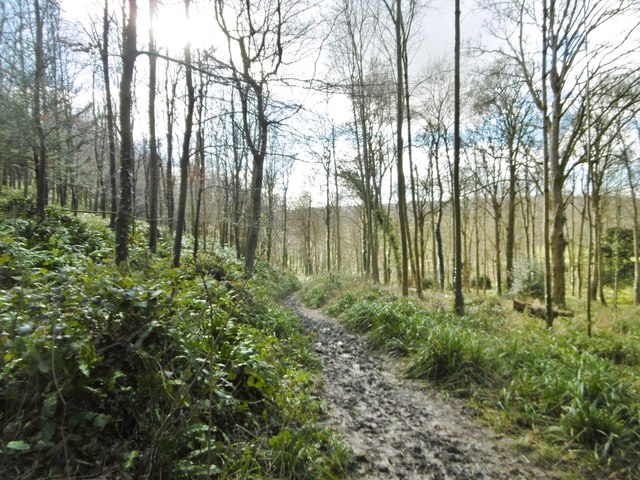
The Shrubbery is known for its diverse range of flora and fauna, making it an ideal destination for wildlife enthusiasts and botanists alike. The wood is home to a variety of tree species, including oak, beech, and birch, which provide a lush and vibrant canopy. The forest floor is adorned with an array of wildflowers, mushrooms, and ferns, creating a rich and enchanting undergrowth.
Visitors to The Shrubbery can explore its numerous walking trails, which meander through the forest and offer breathtaking views of the surrounding countryside. The paths are well-maintained, making them accessible to all, and are often used by hikers, joggers, and families seeking a peaceful escape from the hustle and bustle of daily life.
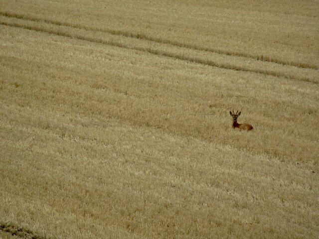
In addition to its natural beauty, The Shrubbery also boasts a diverse range of wildlife. Rare species such as red deer, badgers, and foxes can be spotted here, along with a wide variety of birds, including woodpeckers and owls. Wildlife enthusiasts are often drawn to The Shrubbery for its excellent birdwatching opportunities.
Overall, The Shrubbery in Dorset is a captivating wood or forest that offers visitors the chance to immerse themselves in nature. With its stunning scenery, diverse wildlife, and well-maintained trails, it provides a truly idyllic setting for those seeking a peaceful and enriching outdoor experience.
If you have any feedback on the listing, please let us know in the comments section below.
The Shrubbery Images
Images are sourced within 2km of 50.906578/-2.2004253 or Grid Reference ST8611. Thanks to Geograph Open Source API. All images are credited.

The Shrubbery is located at Grid Ref: ST8611 (Lat: 50.906578, Lng: -2.2004253)
Unitary Authority: Dorset
Police Authority: Dorset
What 3 Words
///scarves.overlaid.sorters. Near Child Okeford, Dorset
Nearby Locations
Related Wikis

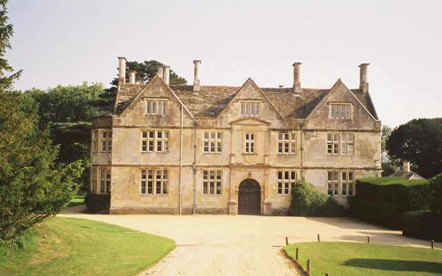
Stepleton House
Stepleton House is a 17th-century country house in the parish of Iwerne Stepleton in Dorset, situated about 5 kilometres (3 mi) north of Blandford Forum...

Iwerne Courtney
Iwerne Courtney (), also known as Shroton, is a village and civil parish in the English county of Dorset. It lies approximately 4 miles (6 kilometres)...

Hod Hill
Hod Hill (or Hodd Hill) is a large hill fort in the Blackmore Vale, 3 miles (5 km) north-west of Blandford Forum, Dorset, England. The fort sits on a 143...
Hanford, Dorset
Hanford is a village and civil parish in the administrative area North Dorset, in the English county Dorset. The parish had 154 inhabitants in 2001....
Nearby Amenities
Located within 500m of 50.906578,-2.2004253Have you been to The Shrubbery?
Leave your review of The Shrubbery below (or comments, questions and feedback).