Lucy's Wood
Wood, Forest in Worcestershire Wychavon
England
Lucy's Wood
Lucy's Wood is a pristine woodland located in Worcestershire, England. Nestled amidst the picturesque countryside, this enchanting forest covers an area of approximately 100 acres. The wood is named after Lucy, a prominent landowner from the local area, who generously donated the land to the public for recreational purposes.
The wood boasts a diverse range of flora and fauna, making it a haven for nature enthusiasts and wildlife lovers. Towering oak, beech, and birch trees dominate the landscape, their sprawling branches creating a lush canopy that filters sunlight, casting dappled shadows on the forest floor. Bluebells, wild garlic, and foxgloves carpet the woodland during spring, creating a vibrant and colorful display.
A network of well-maintained footpaths meanders through Lucy's Wood, providing visitors with the opportunity to explore the natural wonders it has to offer. The trails wind through ancient woodland, revealing hidden clearings and tranquil ponds along the way. Birdsong fills the air, as various species, including woodpeckers, owls, and thrushes, call Lucy's Wood their home.
The wood is a popular destination for outdoor activities such as walking, jogging, and picnicking. There are designated picnic areas scattered throughout the forest, offering visitors the chance to relax and soak up the peaceful ambiance while enjoying their packed lunches.
Lucy's Wood is managed by a local conservation group, ensuring its preservation and protection for future generations. With its untouched beauty and rich biodiversity, Lucy's Wood is a true gem of Worcestershire, attracting nature enthusiasts, families, and those seeking solace in the tranquility of the natural world.
If you have any feedback on the listing, please let us know in the comments section below.
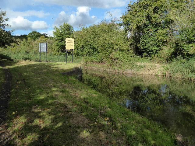
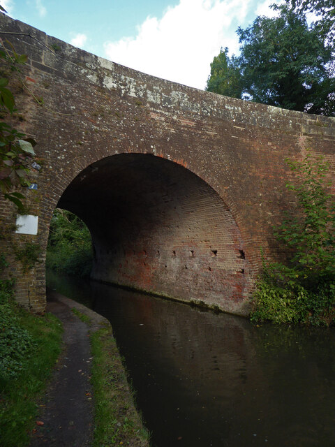
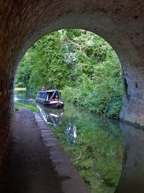
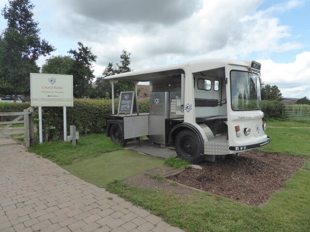
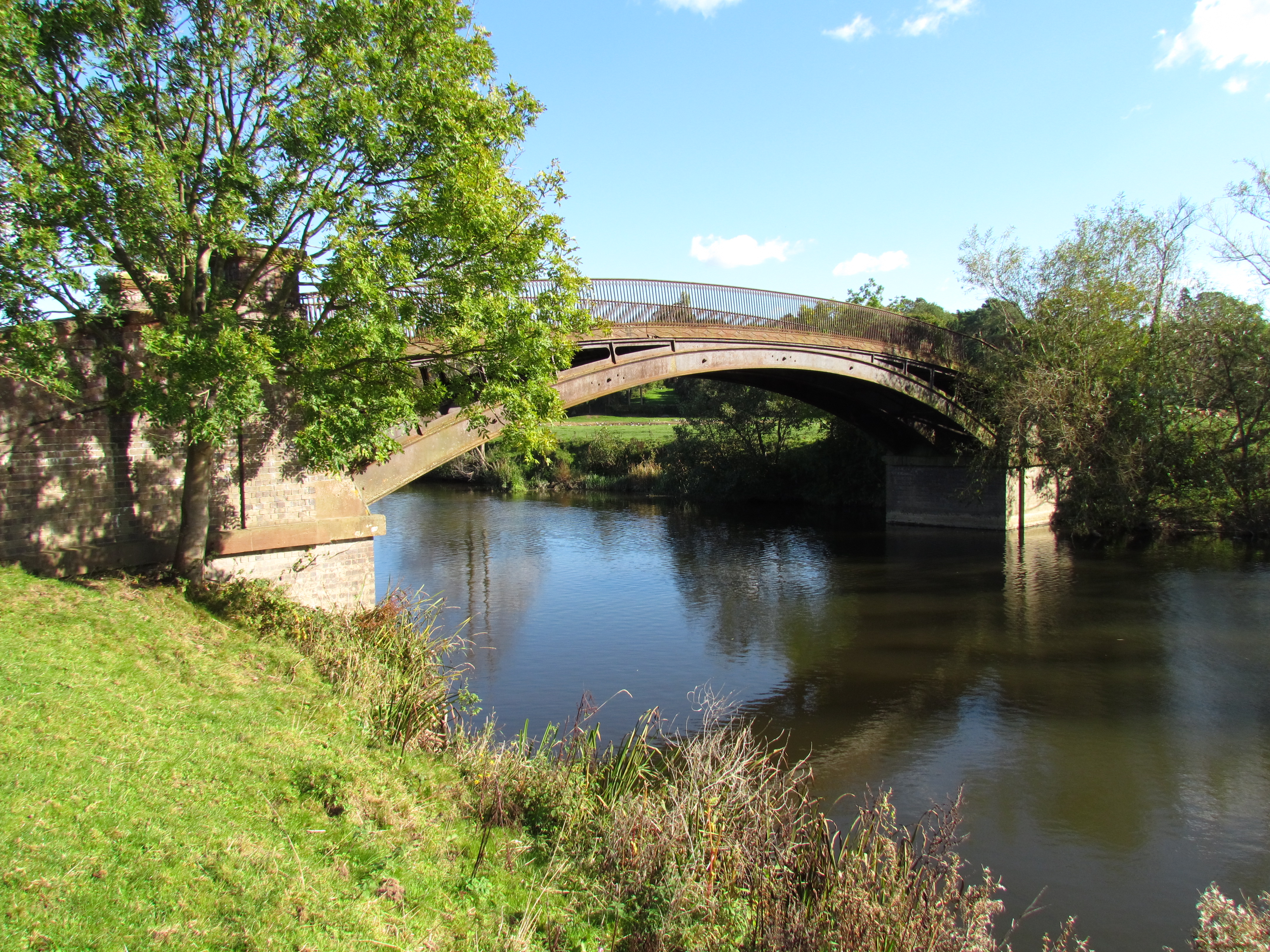
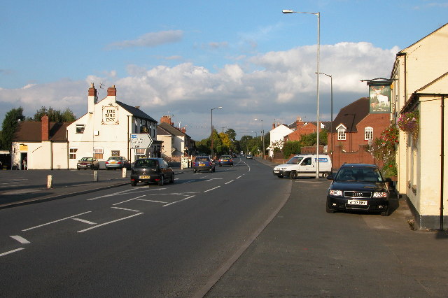
Lucy's Wood Images
Images are sourced within 2km of 52.247232/-2.2071798 or Grid Reference SO8561. Thanks to Geograph Open Source API. All images are credited.


Lucy's Wood is located at Grid Ref: SO8561 (Lat: 52.247232, Lng: -2.2071798)
Administrative County: Worcestershire
District: Wychavon
Police Authority: West Mercia
What 3 Words
///metals.august.link. Near Fernhill Heath, Worcestershire
Nearby Locations
Related Wikis
Hawford
Hawford is a hamlet in Worcestershire, England. It falls within two parishes; North Claines and Ombersley and Doverdale in the outer suburbs of Worcester...
North Claines
North Claines is a civil parish in Wychavon district, Worcestershire, England, immediately north of the city of Worcester. It includes the settlements...

A449 road
The A449 is a major road in the United Kingdom. It runs north from junction 24 of the A48 road at Newport in South Wales to Stafford in Staffordshire....

Salwarpe
Salwarpe is a small village and civil parish in the Wychavon district of Worcestershire, England, less than two miles south west of Droitwich, but in open...

River Salwarpe
The River Salwarpe is a 20.4 miles (32.8 km) long river in Worcestershire, England. It is a left bank tributary of the River Severn, which it joins near...
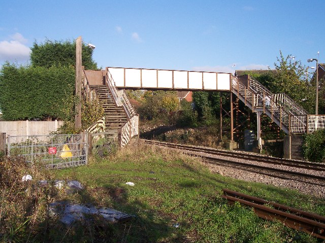
Fernhill Heath railway station
Fernhill Heath railway station was an intermediate railway station on the Oxford, Worcester and Wolverhampton Railway between Worcester (Tunnel Junction...
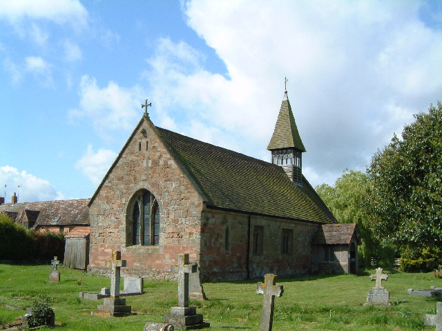
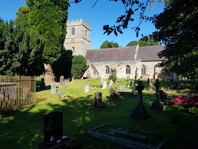
Church of St Michael and All Angels, Martin Hussingtree
The Church of St Michael and All Angels is a Grade I listed church in Martin Hussingtree, Worcestershire.The west wall is probably of 12th century origin...
Fernhill Heath
Fernhill Heath is a village in Worcestershire, England. It is in the civil parish of North Claines in Wychavon district. Fernhill Heath is located on the...
Nearby Amenities
Located within 500m of 52.247232,-2.2071798Have you been to Lucy's Wood?
Leave your review of Lucy's Wood below (or comments, questions and feedback).