Chatley
Settlement in Worcestershire Wychavon
England
Chatley
Chatley is a small village located in the county of Worcestershire, England. Situated approximately 6 miles north of the historic city of Worcester, Chatley is nestled amidst picturesque countryside, offering residents and visitors a tranquil and idyllic setting.
The village is characterized by its charming rural atmosphere, with traditional cottages and farmhouses dotting the landscape. It boasts a close-knit community, with a population of around 350 residents, creating a friendly and welcoming atmosphere for all.
Despite its small size, Chatley is well-connected to nearby towns and cities, with convenient transportation links. The village is situated near the A449 road, providing easy access to Worcester and other major towns in the area.
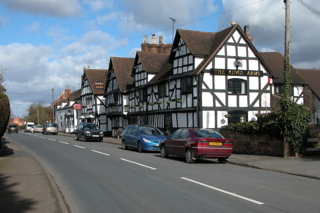
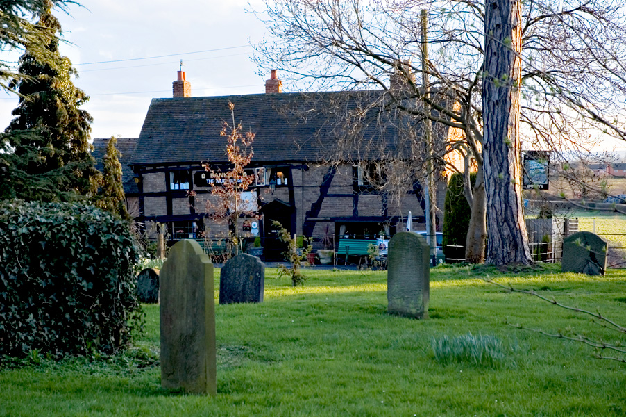
While primarily a residential area, there are a few amenities available to residents. The village has a local pub, The Chatley Arms, which serves as a popular social hub and offers a selection of traditional British pub food. Additionally, there is a village hall that hosts various community events and gatherings throughout the year.
Surrounded by lush green fields and rolling hills, Chatley offers ample opportunities for outdoor activities. The village is located near the beautiful Malvern Hills Area of Outstanding Natural Beauty, providing residents with stunning views and numerous walking trails to explore.
In conclusion, Chatley is a charming rural village in Worcestershire, known for its peaceful ambiance, friendly community, and easy access to the surrounding countryside.
If you have any feedback on the listing, please let us know in the comments section below.
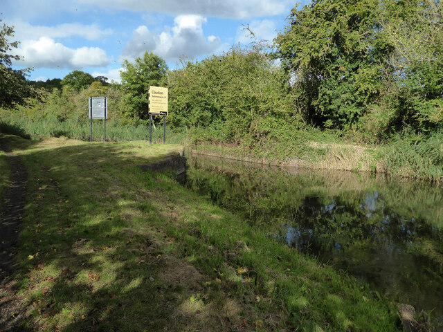
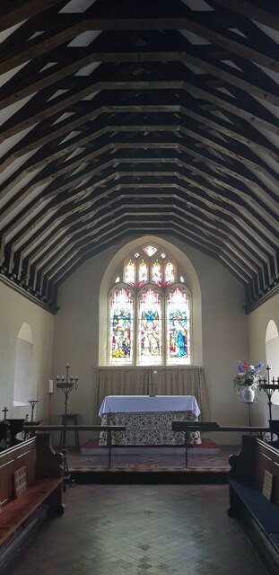
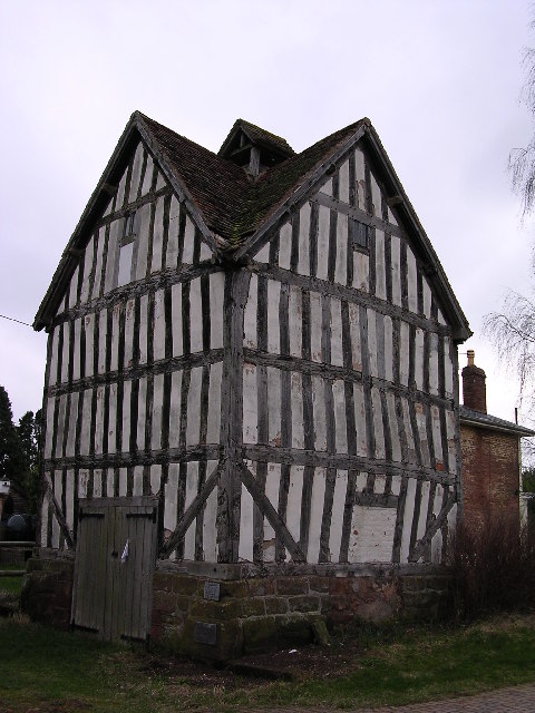
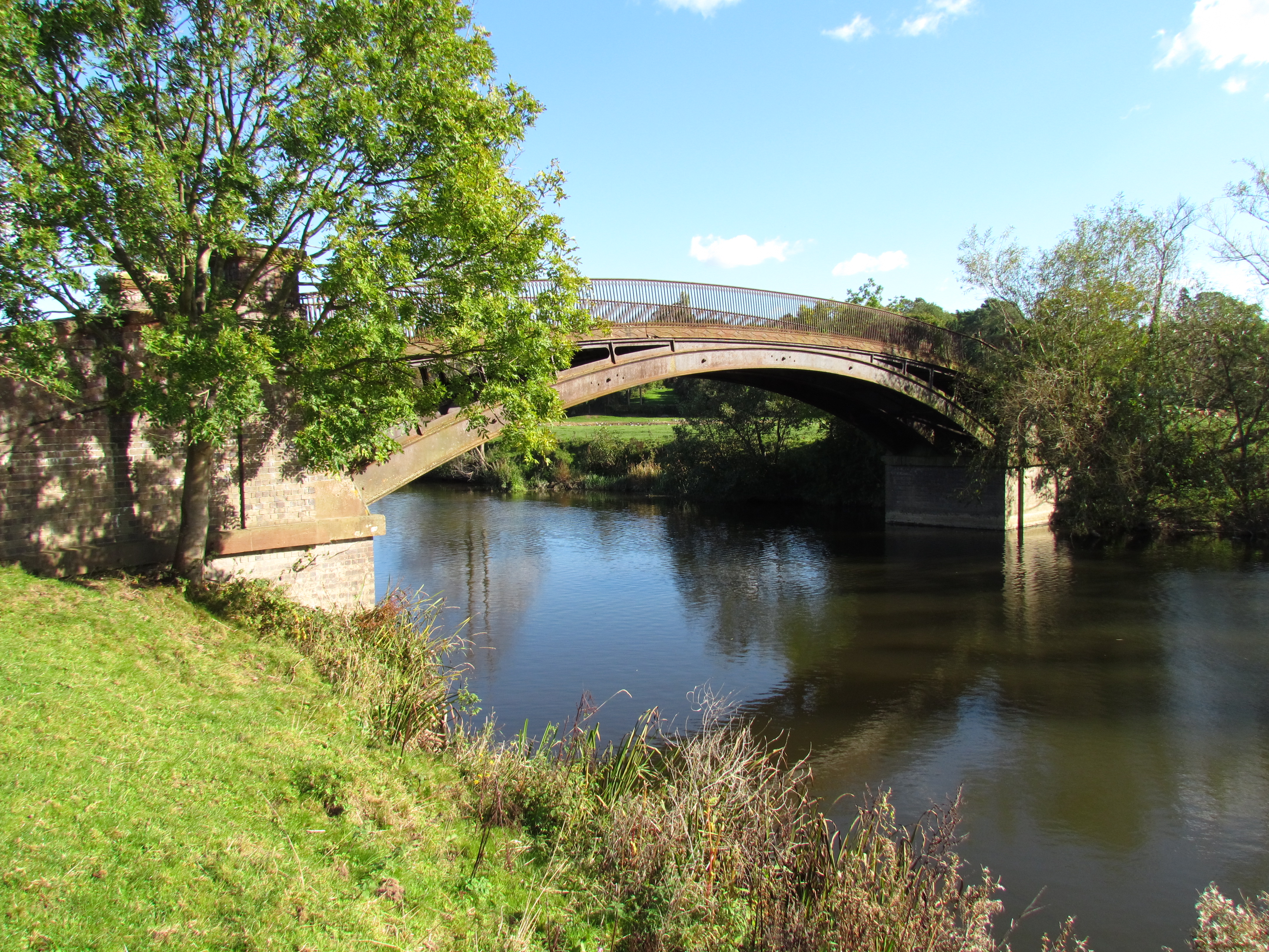
Chatley Images
Images are sourced within 2km of 52.25009/-2.218958 or Grid Reference SO8561. Thanks to Geograph Open Source API. All images are credited.


Chatley is located at Grid Ref: SO8561 (Lat: 52.25009, Lng: -2.218958)
Administrative County: Worcestershire
District: Wychavon
Police Authority: West Mercia
What 3 Words
///challenge.thunder.recitals. Near Fernhill Heath, Worcestershire
Nearby Locations
Related Wikis
Hawford
Hawford is a hamlet in Worcestershire, England. It falls within two parishes; North Claines and Ombersley and Doverdale in the outer suburbs of Worcester...

A449 road
The A449 is a major road in the United Kingdom. It runs north from junction 24 of the A48 road at Newport in South Wales to Stafford in Staffordshire....

River Salwarpe
The River Salwarpe is a 20.4 miles (32.8 km) long river in Worcestershire, England. It is a left bank tributary of the River Severn, which it joins near...

Grimley, Worcestershire
Grimley is a village and civil parish (grid reference SO8360) in the Malvern Hills District in the county of Worcestershire, England about 3 miles (4...
North Claines
North Claines is a civil parish in Wychavon district, Worcestershire, England, immediately north of the city of Worcester. It includes the settlements...

Salwarpe
Salwarpe is a small village and civil parish in the Wychavon district of Worcestershire, England, less than two miles south west of Droitwich, but in open...
Ombersley
Ombersley is a village and civil parish in Wychavon district, in the county of Worcestershire, England. The parish includes the hamlet of Holt Fleet,...
The Mug House
The Mug House is a traditional public house located in the village of Claines, Worcestershire, England, which dates back to the 15th century. == Overview... ==
Nearby Amenities
Located within 500m of 52.25009,-2.218958Have you been to Chatley?
Leave your review of Chatley below (or comments, questions and feedback).