Conshield Backwood
Wood, Forest in Northumberland
England
Conshield Backwood
Conshield Backwood, located in Northumberland, is a picturesque woodland area known for its dense forests and abundant wildlife. Spread across a vast expanse of land, the backwood encompasses an area of approximately 500 acres.
The main feature of Conshield Backwood is its lush and diverse forest, composed primarily of tall, majestic trees such as oak, beech, and maple. These trees create a dense canopy, casting a cool shade over the forest floor and providing a habitat for a wide variety of flora and fauna. The forest is home to numerous species of birds, including woodpeckers, owls, and various songbirds, making it a haven for birdwatchers.
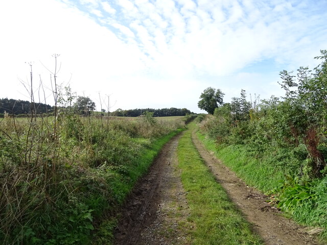
In addition to its natural beauty, Conshield Backwood also offers several recreational activities for visitors. There are well-marked hiking trails that meander through the forest, allowing visitors to explore its hidden gems. These trails offer stunning views of the surrounding countryside and are suitable for both casual strollers and experienced hikers.
The backwood is also a popular spot for camping and picnicking. It features designated camping areas with basic amenities, such as fire pits and picnic tables, allowing visitors to immerse themselves in the tranquility of nature. The peaceful ambiance of Conshield Backwood makes it an ideal destination for those seeking solace and relaxation away from the bustling city life.
Overall, Conshield Backwood in Northumberland is a haven for nature enthusiasts and outdoor lovers. Its dense forests, diverse wildlife, and recreational opportunities make it a must-visit destination for anyone looking to reconnect with nature and enjoy the beauty of the great outdoors.
If you have any feedback on the listing, please let us know in the comments section below.
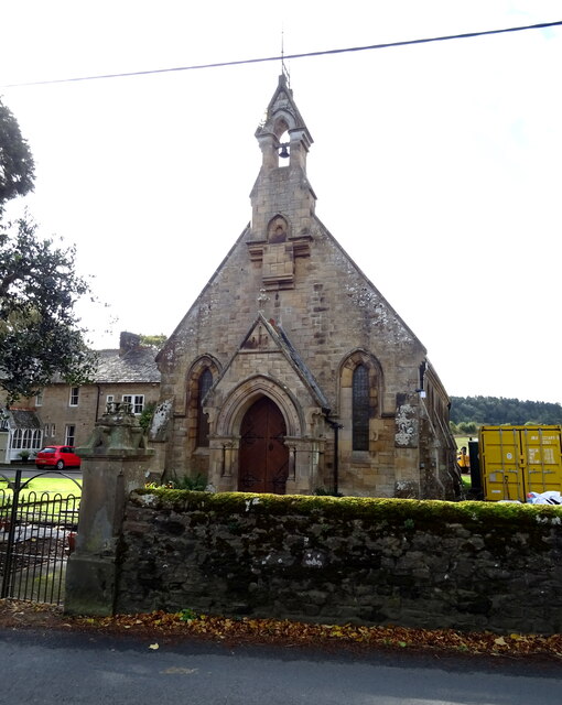
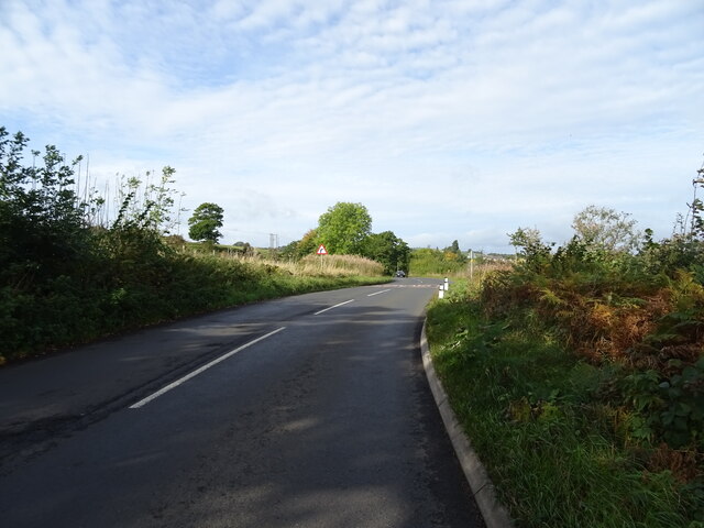
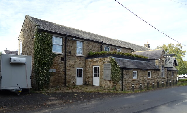
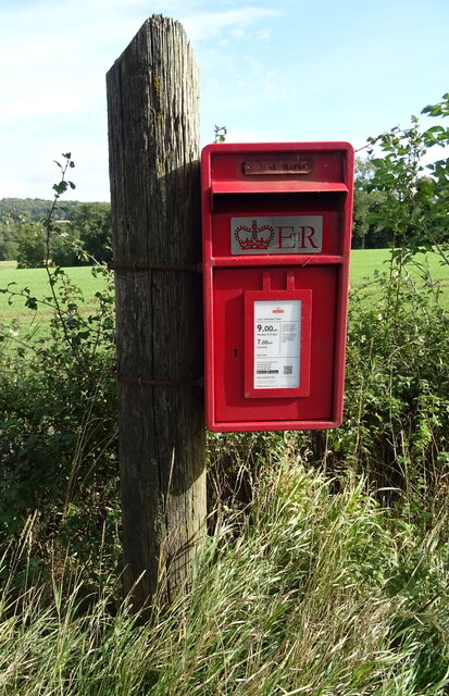
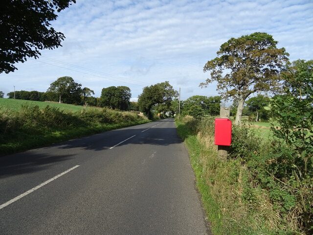
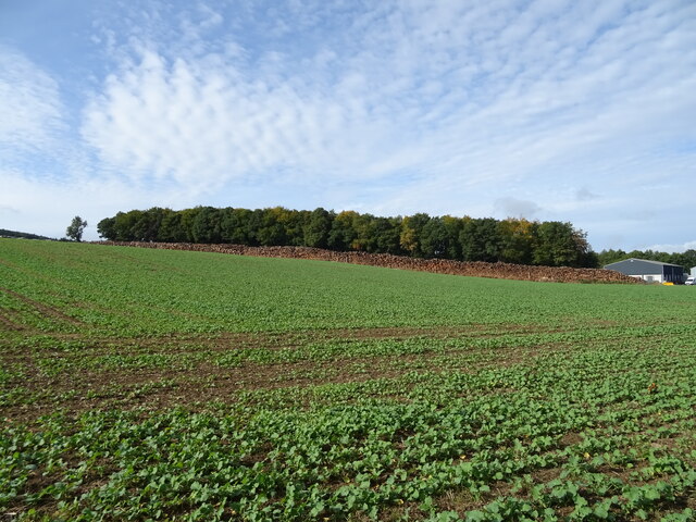
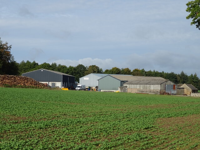
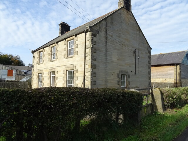
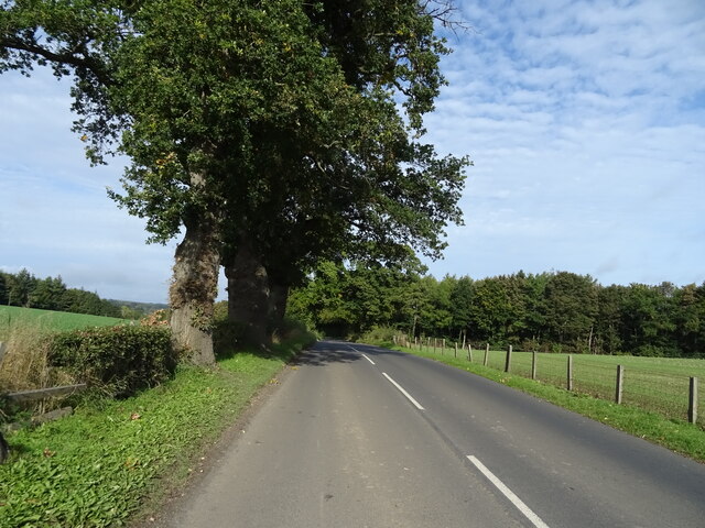
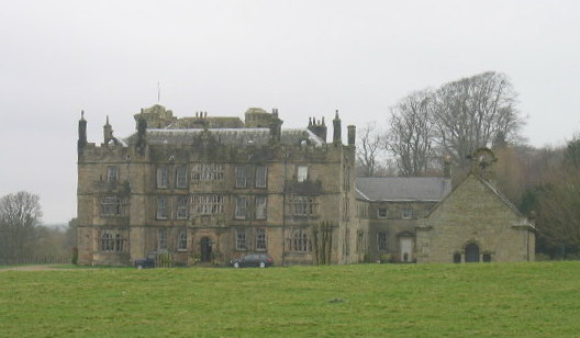
Conshield Backwood Images
Images are sourced within 2km of 55.078212/-2.2278627 or Grid Reference NY8575. Thanks to Geograph Open Source API. All images are credited.
Conshield Backwood is located at Grid Ref: NY8575 (Lat: 55.078212, Lng: -2.2278627)
Unitary Authority: Northumberland
Police Authority: Northumbria
What 3 Words
///servicing.struts.arose. Near Birtley, Northumberland
Nearby Locations
Related Wikis

Wark in Tyndale Castle
Wark in Tyndale Castle was a medieval building in the English county of Northumberland (grid reference NY861768). It was first mentioned in 1399–1400,...

Wark Town Hall
Wark Town Hall is a municipal building on The Green in Wark on Tyne, Northumberland, England. The building, which is used as a community events venue,...

Wark on Tyne
Wark on Tyne is a small village and civil parish in Northumberland, England, 12 miles (19 km) north of Hexham. == History == The name is derived from the...

Wark railway station
Wark railway station is a disused railway station which served the village of Wark on Tyne, Northumberland, England. Located on the Border Counties Railway...
Chipchase Castle
Chipchase Castle is a 17th-century Jacobean mansion incorporating a substantial 14th-century pele tower, which stands north of Hadrian's Wall, near Wark...

Birtley, Northumberland
Birtley is a village in Northumberland, England southeast of Bellingham. It is about 10 miles (16 km) north of Hexham. == References == == External... ==

The Goatstones
The Goatstones is a Bronze-Age four-poster stone circle located near Ravensheugh Crags in Northumberland, England. It is 2.5 miles (4.0 km) to the north...
Nunwick Hall
Nunwick Hall is a privately owned 18th-century country house near Simonburn, Northumberland in North East England. The estate has been the home of the...
Nearby Amenities
Located within 500m of 55.078212,-2.2278627Have you been to Conshield Backwood?
Leave your review of Conshield Backwood below (or comments, questions and feedback).