Lower Hove Wood

Wood, Forest in Dorset

England

Lower Hove Wood

Field and hedgerow near Lower Woodbury Farm
Field and hedgerow near Lower Woodbury Farm Credit: JThomas

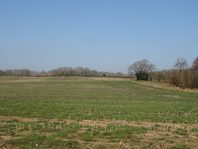
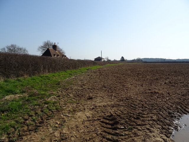
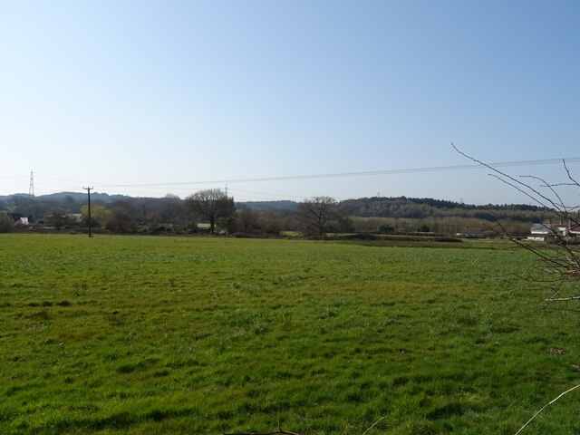
Lower Hove Wood is a picturesque woodland located in the county of Dorset in southern England. Spanning over 50 hectares, the wood is part of a larger forested area known as Hove Woods.

The wood is characterized by its diverse range of tree species, including oak, beech, ash, and hazel. These trees create a dense canopy, providing shade and shelter for an abundance of wildlife. The forest floor is covered with a rich carpet of bluebells, wildflowers, and ferns, adding to the wood's natural beauty.

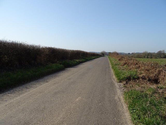
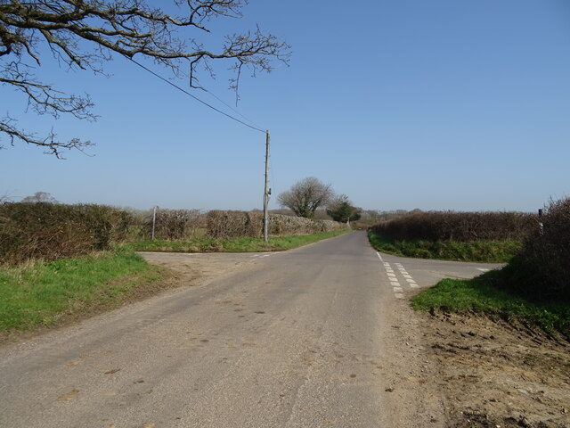
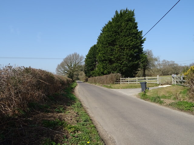
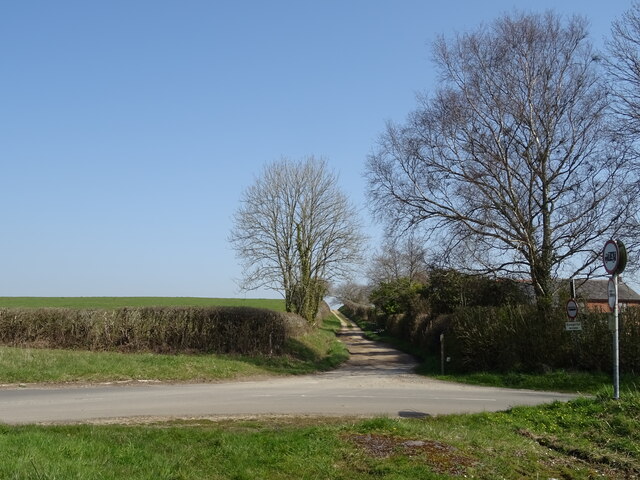
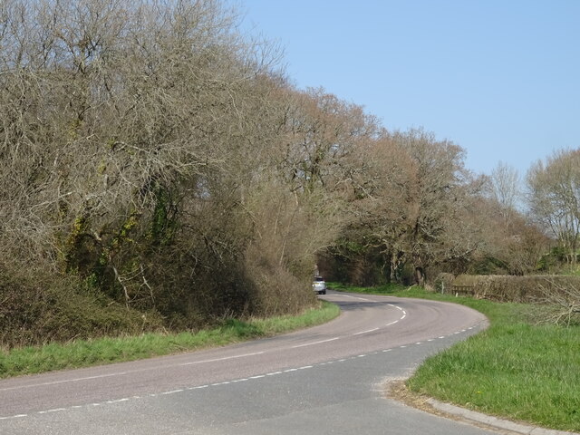
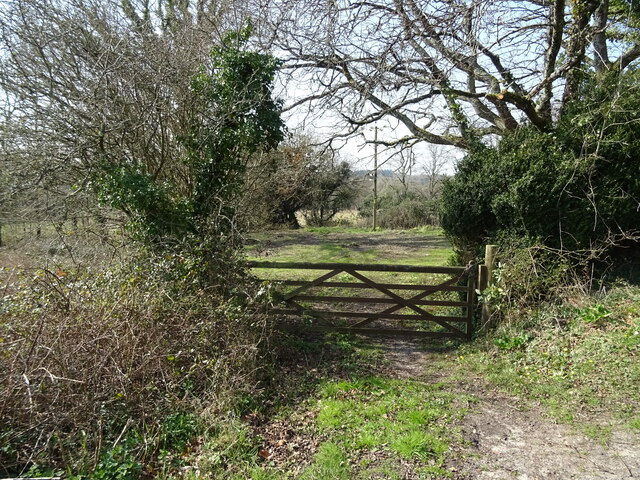
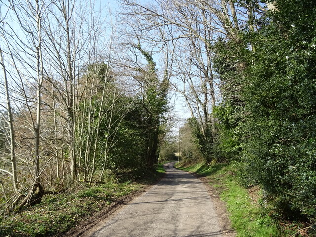
Lower Hove Wood is crisscrossed by a network of well-maintained footpaths, making it accessible to visitors who wish to explore the area on foot. These paths wind through the woodland, leading to tranquil spots such as a small pond and a clearing with picnic benches, perfect for a peaceful break surrounded by nature.

The wood is home to a variety of wildlife, including deer, foxes, badgers, and a plethora of bird species. Birdwatchers can spot woodpeckers, buzzards, and tits among the treetops. The woodland also provides a habitat for many insects, with butterflies and dragonflies fluttering around during the warmer months.

Lower Hove Wood is a popular destination for nature enthusiasts, walkers, and families looking to escape the hustle and bustle of everyday life. Its serene atmosphere, beautiful scenery, and diverse ecosystem make it a haven for both wildlife and humans alike.

If you have any feedback on the listing, please let us know in the comments section below.

Lower Hove Wood Images

Images are sourced within 2km of 50.7458/-2.2061861 or Grid Reference SY8594. Thanks to Geograph Open Source API. All images are credited.

Field and hedgerow near Lower Woodbury Farm
Minor road towards Lane End
Subble field
Subble field
Minor road towards Lane End
Field and hedgerow, Chapel Cross
Chapel Cross
Chapel Cross
Grazing, Lane End
Grazing, Lane End
Minor road towards Yearlings Farm
Fingerpost, Yearlings' Bottom
Track (bridleway) towards Hollow Oak
Minor road towards Bere Regis
Field entrance, Mintern's Ferry
Lane towards Turners Puddle
A35 near Shitterton
A35 near Shitterton
Toll Gate Cottage, Bere Regis A former Toll House at 72 West Street, on the corner of Butt Lane. Used by the Wimborne and Piddletown Turnpike Trust, up to the mid 19ᵗʰ C.

Milestone Society National ID: DO.BER
Toll Gate Cottage, Bere Regis
A former Toll House at 72 West Street, on the corner of Butt Lane. Used by the Wimborne and Piddletown Turnpike Trust, up to the mid 19ᵗʰ C. Milestone Society National ID: DO.BER
Old Milestone south east of Bere Regis Carved stone post by the UC road, in parish of BERE REGIS (PURBECK District), 300m South South East of Lower Woodbury Farm, on edge of road in small trees and scrub, on North side of road. Dorset 3 (limestone), erected by the Wareham (North, South & West Branches) turnpike trust in the 19th century. 

Inscription reads:-
: WAREHAM / 5 : : BERE / 2 : 
Carved benchmark on bottom of right face.

Milestone Society National ID: DO_WABE05.
Old Milestone south east of Bere Regis
Carved stone post by the UC road, in parish of BERE REGIS (PURBECK District), 300m South South East of Lower Woodbury Farm, on edge of road in small trees and scrub, on North side of road. Dorset 3 (limestone), erected by the Wareham (North, South & West Branches) turnpike trust in the 19th century. Inscription reads:- : WAREHAM / 5 : : BERE / 2 : Carved benchmark on bottom of right face. Milestone Society National ID: DO_WABE05.
Old Milestone by the UC road, North Street, Bere Regis Stone post (plate lost) by the UC road, in parish of BERE REGIS (PURBECK District), North Street, Bere Regis, by entrance to Bere Regis sports club, on East side of road, opposite Snow Hill Lane. Dorset 2 (limestone), erected by the Puddletown & Wimborne turnpike trust in the 19th century. 

Inscription reads:-
DORCHESTER
11
WIMBORNE
11

Milestone Society National ID: DO_DOWB11.
Old Milestone by the UC road, North Street, Bere Regis
Stone post (plate lost) by the UC road, in parish of BERE REGIS (PURBECK District), North Street, Bere Regis, by entrance to Bere Regis sports club, on East side of road, opposite Snow Hill Lane. Dorset 2 (limestone), erected by the Puddletown & Wimborne turnpike trust in the 19th century. Inscription reads:- DORCHESTER 11 WIMBORNE 11 Milestone Society National ID: DO_DOWB11.
Bere Regis: The Church of St. John the Baptist
Show me another place!

Lower Hove Wood is located at Grid Ref: SY8594 (Lat: 50.7458, Lng: -2.2061861)

Unitary Authority: Dorset

Police Authority: Dorset

What 3 Words

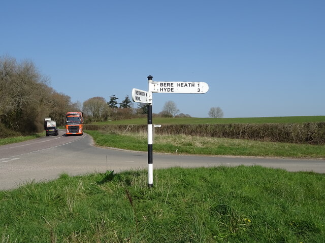
///gratuity.every.image. Near Bere Regis, Dorset

Related Wikis

Woodbury Hill, Dorset

Woodbury Hill is a hill near Bere Regis in Dorset, England. It is the site of an Iron Age hillfort (a scheduled monument), and the location of an annual...
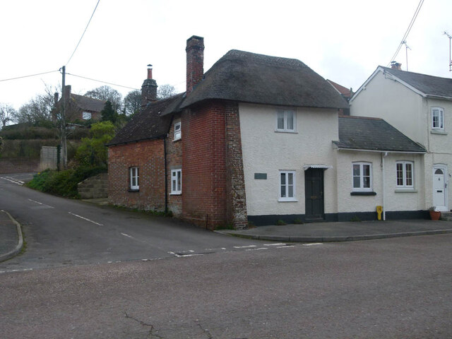
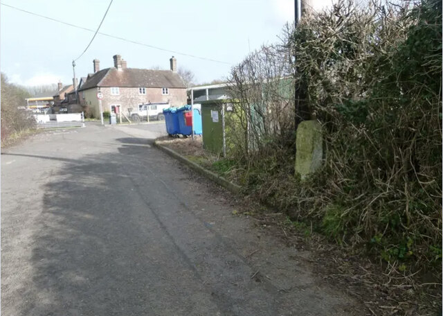
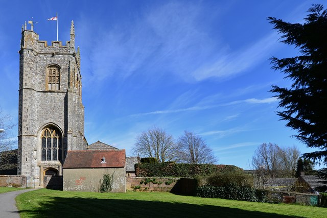
Bere Regis

Bere Regis () is a village and civil parish in Dorset, England, situated 6 miles (9.7 km) north-west of Wareham. In the 2011 census the civil parish had...

Bere Stream

Bere Stream (grid reference SY860926) is an 11.2 hectare biological Site of Special Scientific Interest in Dorset, notified in 1977. == Sources == English...
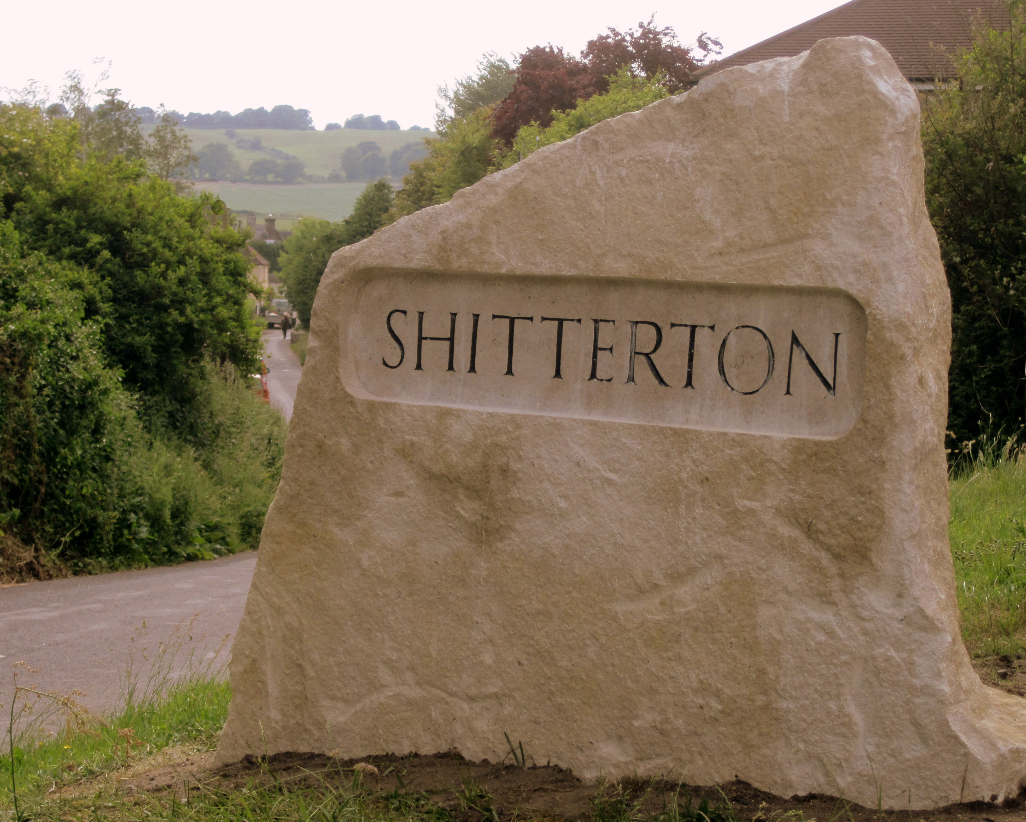
Shitterton

Shitterton is a hamlet in Bere Regis, Dorset, England. It includes a collection of historic thatched buildings dating back to the 18th century and earlier...

Nearby Amenities

Located within 500m of 50.7458,-2.2061861
Material: wood
Power: pole
Source: bing
Transformer: distribution
Lat/Long: 50.7415555/-2.2074158
Material: wood
Power: pole
Source: bing
Lat/Long: 50.7426371/-2.2107033
Doddings
Place: farm
Lat/Long: 50.7430804/-2.210113
Material: wood
Power: pole
Source: bing
Lat/Long: 50.7416816/-2.2064576
Material: wood
Power: pole
Source: bing
Lat/Long: 50.7417359/-2.2052801
Material: wood
Power: pole
Source: bing
Lat/Long: 50.7417783/-2.2042179
The data included in this document is from www.openstreetmap.org. The data is made available under ODbL.

Have you been to Lower Hove Wood?

Leave your review of Lower Hove Wood below (or comments, questions and feedback).