Quarry Wood
Wood, Forest in Northumberland
England
Quarry Wood
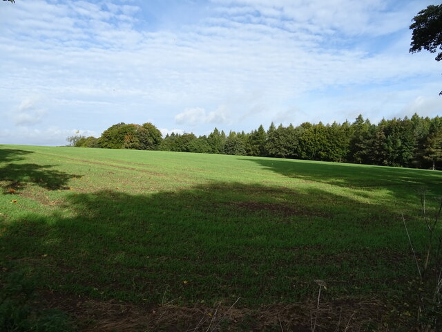
Quarry Wood, located in Northumberland, is a picturesque woodland area renowned for its natural beauty and diverse wildlife. Stretching over a vast expanse of land, this enchanting forest offers visitors a tranquil escape from the bustling city life.
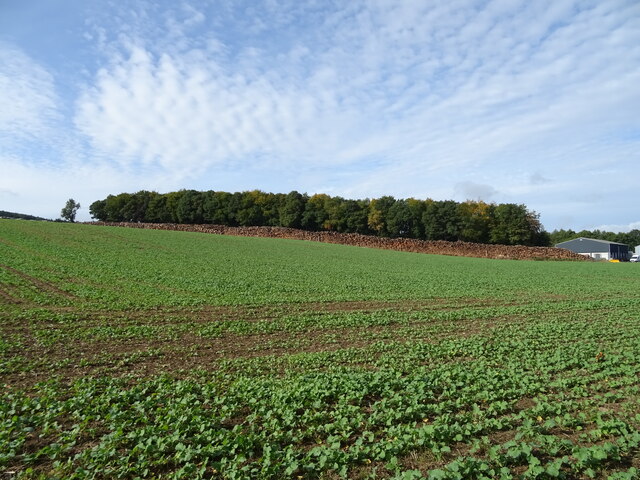
The wood is characterized by its dense canopy of towering trees, including oak, beech, and birch, which create a cool and shady atmosphere even during the hottest summer days. The forest floor is covered with a carpet of wildflowers, ferns, and mosses, adding to the area's charm.
Quarry Wood is home to a wide range of wildlife, making it a haven for nature enthusiasts. Birdwatchers can spot numerous species such as woodpeckers, owls, and various songbirds, while those with a keen eye might catch a glimpse of red squirrels scurrying among the branches. Deer, foxes, and rabbits are often seen roaming freely through the wood, adding to its sense of wilderness.
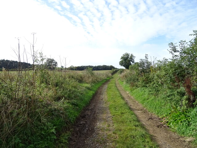
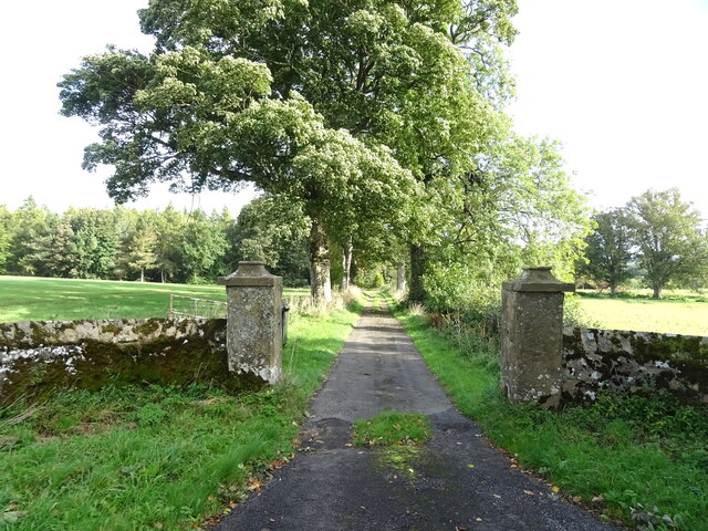
There are several walking trails that wind through the wood, allowing visitors to explore its hidden treasures. These paths lead to stunning viewpoints, where one can admire the sweeping vistas of the surrounding countryside, including the nearby Cheviot Hills.
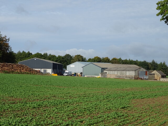
Quarry Wood is also rich in historical significance. The area was once a source of stone used for local construction, hence its name. Visitors can still find remnants of the quarrying industry, such as old mine shafts and quarry walls, which add a touch of intrigue to the woodland experience.
Overall, Quarry Wood is a magical place, offering a serene and captivating retreat for those seeking solace in nature's embrace.
If you have any feedback on the listing, please let us know in the comments section below.
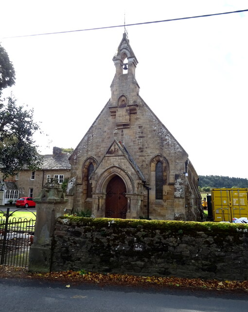
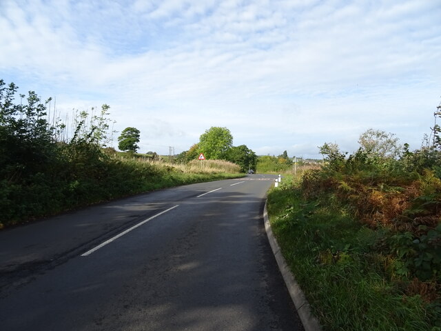
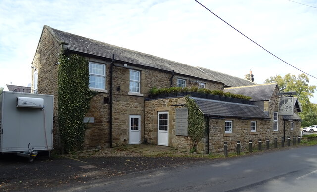
Quarry Wood Images
Images are sourced within 2km of 55.073159/-2.2295097 or Grid Reference NY8575. Thanks to Geograph Open Source API. All images are credited.
Quarry Wood is located at Grid Ref: NY8575 (Lat: 55.073159, Lng: -2.2295097)
Unitary Authority: Northumberland
Police Authority: Northumbria
What 3 Words
///smashes.attracts.accompany. Near Birtley, Northumberland
Nearby Locations
Related Wikis

Wark in Tyndale Castle
Wark in Tyndale Castle was a medieval building in the English county of Northumberland (grid reference NY861768). It was first mentioned in 1399–1400,...

Wark Town Hall
Wark Town Hall is a municipal building on The Green in Wark on Tyne, Northumberland, England. The building, which is used as a community events venue,...

Wark railway station
Wark railway station is a disused railway station which served the village of Wark on Tyne, Northumberland, England. Located on the Border Counties Railway...

Wark on Tyne
Wark on Tyne is a small village and civil parish in Northumberland, England, 12 miles (19 km) north of Hexham. == History == The name is derived from the...

The Goatstones
The Goatstones is a Bronze-Age four-poster stone circle located near Ravensheugh Crags in Northumberland, England. It is 2.5 miles (4.0 km) to the north...
Nunwick Hall
Nunwick Hall is a privately owned 18th-century country house near Simonburn, Northumberland in North East England. The estate has been the home of the...
Chipchase Castle
Chipchase Castle is a 17th-century Jacobean mansion incorporating a substantial 14th-century pele tower, which stands north of Hadrian's Wall, near Wark...

Simonburn
Simonburn is a small human settlement in Northumberland, England. == Early history == Simonburn lies to the north of Hadrian's Wall, the most noted Roman...
Nearby Amenities
Located within 500m of 55.073159,-2.2295097Have you been to Quarry Wood?
Leave your review of Quarry Wood below (or comments, questions and feedback).