Mate's Coppice
Wood, Forest in Dorset
England
Mate's Coppice

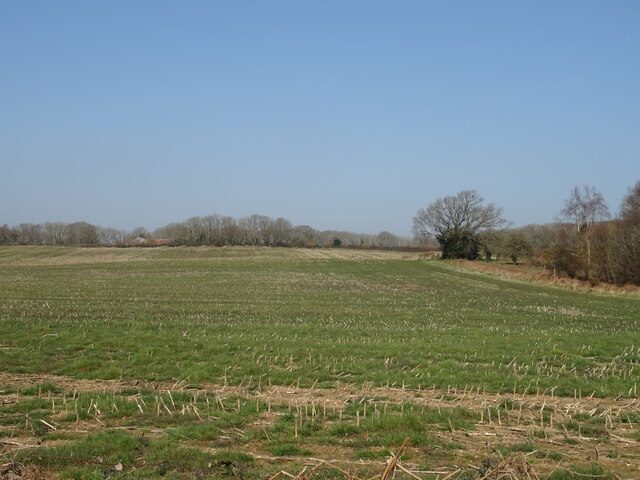
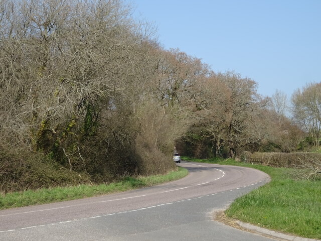
Mate's Coppice is a picturesque woodland located in Dorset, England. Covering an area of approximately 50 acres, this enchanting forest is a haven for nature enthusiasts and wildlife lovers alike. The coppice is named after a local resident, Mr. Mate, who dedicated his life to the preservation and management of the woodland.
The forest is characterized by its diverse range of tree species, including oak, beech, ash, and birch. The canopy of the forest provides a cool and shady atmosphere, making it a popular destination for hikers and walkers seeking refuge from the summer heat. The forest floor is covered with a rich carpet of wildflowers, creating a colorful and vibrant display during the spring and summer months.
Mate's Coppice is home to a wide variety of wildlife, including deer, badgers, foxes, and a myriad of bird species. Birdwatchers can often spot buzzards, woodpeckers, and tawny owls among the tree branches. The tranquil environment of the woodland also attracts numerous butterfly species, making it a paradise for butterfly enthusiasts.
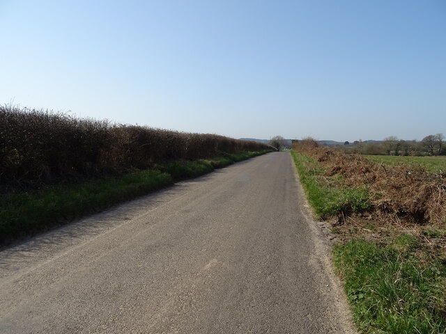
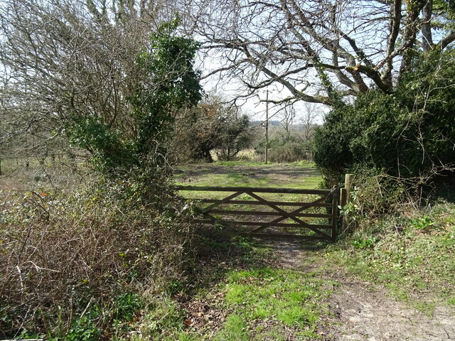
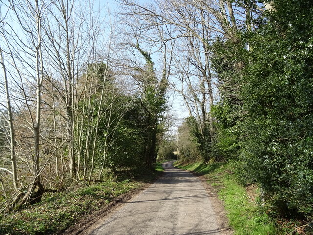
Visitors to Mate's Coppice can enjoy a network of well-maintained walking trails that meander through the forest, allowing them to explore its hidden nooks and crannies. The forest is also equipped with picnic areas and benches, providing the perfect spot to relax and immerse oneself in the natural beauty of the surroundings.
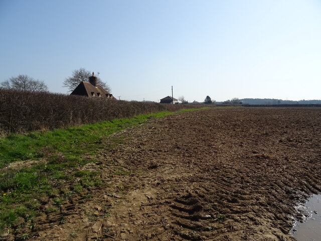
Overall, Mate's Coppice is a serene and captivating woodland that offers a peaceful retreat for anyone seeking solace in nature. Its abundant flora and fauna, coupled with its well-preserved trails, make it an ideal destination for outdoor enthusiasts and wildlife lovers in Dorset.
If you have any feedback on the listing, please let us know in the comments section below.
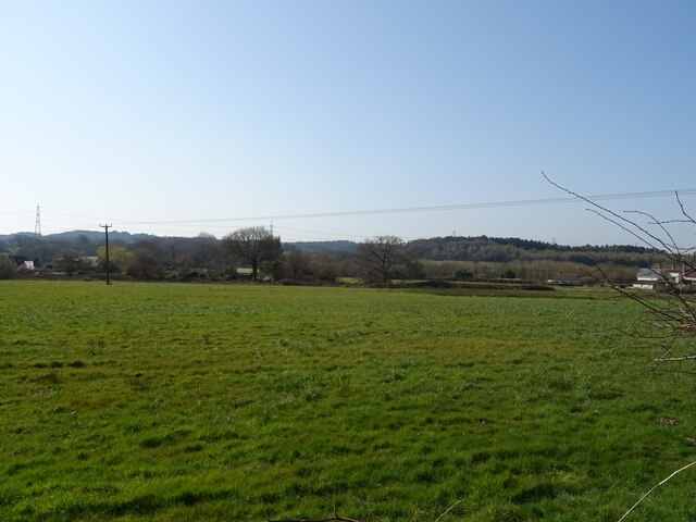
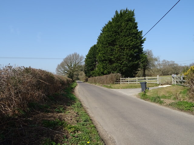
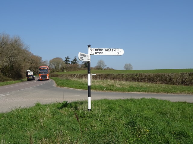
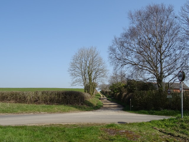
Mate's Coppice Images
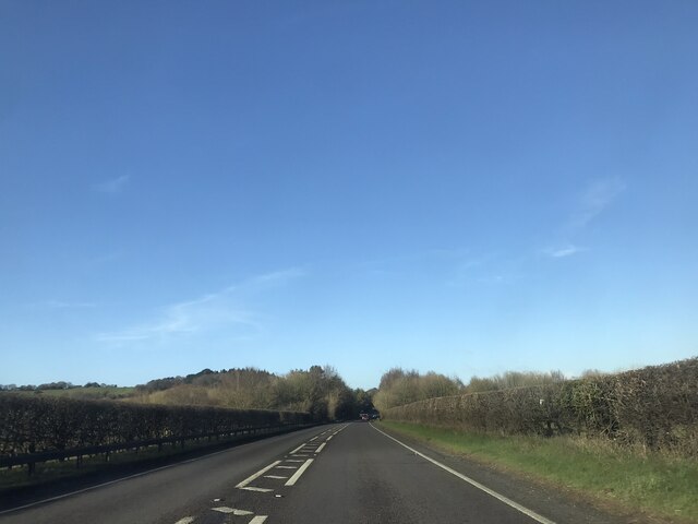
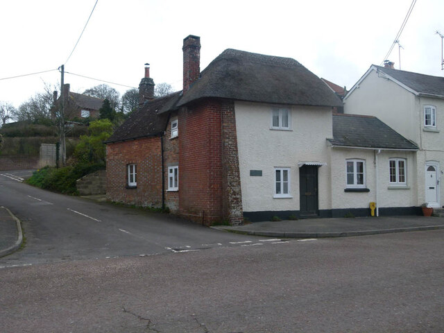
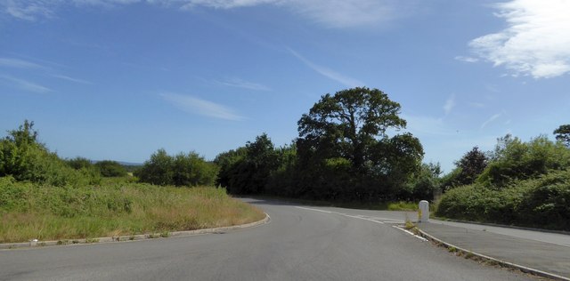
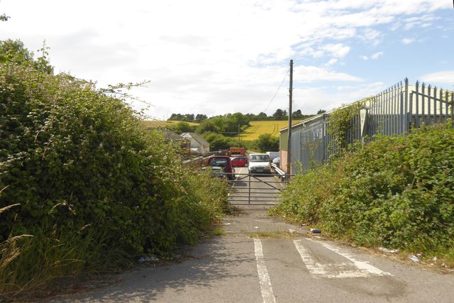
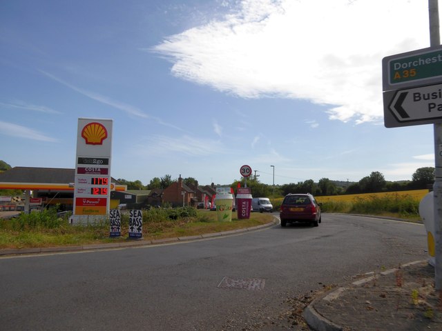
Images are sourced within 2km of 50.74345/-2.2076781 or Grid Reference SY8593. Thanks to Geograph Open Source API. All images are credited.

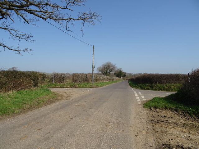
Mate's Coppice is located at Grid Ref: SY8593 (Lat: 50.74345, Lng: -2.2076781)
Unitary Authority: Dorset
Police Authority: Dorset
What 3 Words
///corporate.butchers.arranger. Near Bere Regis, Dorset
Nearby Locations
Related Wikis

Woodbury Hill, Dorset
Woodbury Hill is a hill near Bere Regis in Dorset, England. It is the site of an Iron Age hillfort (a scheduled monument), and the location of an annual...

Bere Stream
Bere Stream (grid reference SY860926) is an 11.2 hectare biological Site of Special Scientific Interest in Dorset, notified in 1977. == Sources == English...

Bere Regis
Bere Regis () is a village and civil parish in Dorset, England, situated 6 miles (9.7 km) north-west of Wareham. In the 2011 census the civil parish had...
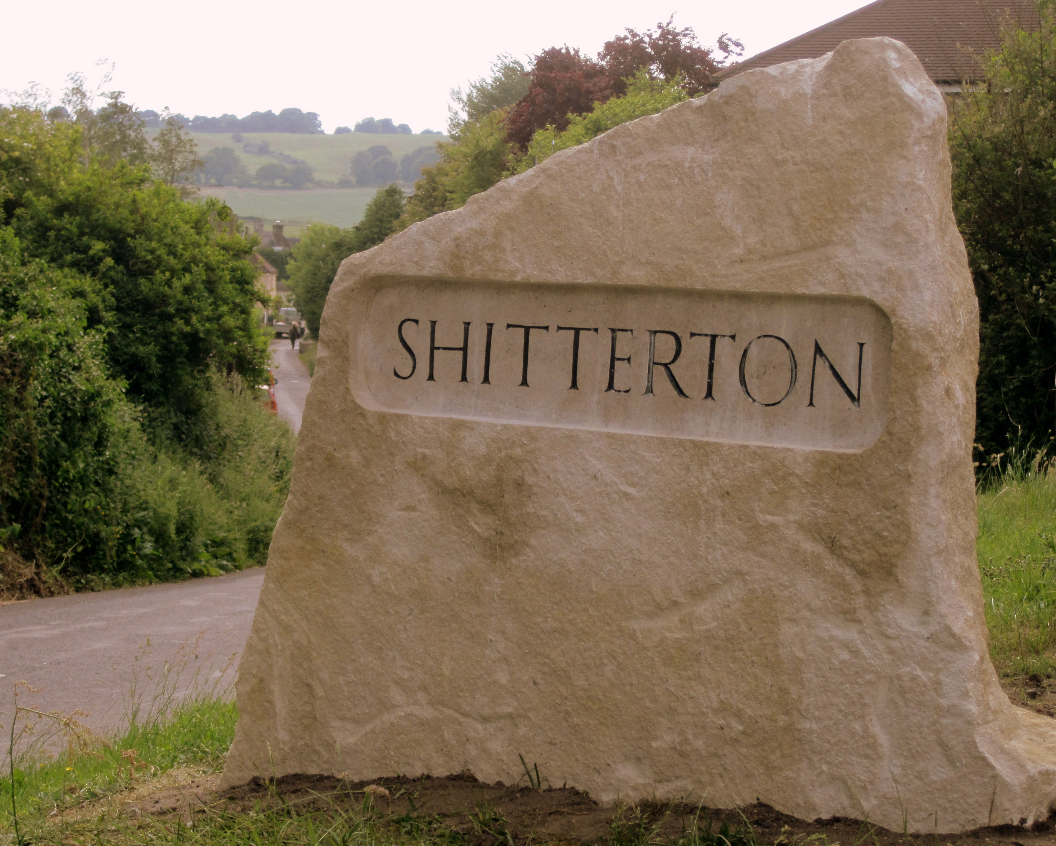
Shitterton
Shitterton is a hamlet in Bere Regis Dorset, England. It includes a collection of historic thatched buildings dating back to the 18th century and earlier...
Black Hill Heath
Black Hill Heath (grid reference SY835943) is a 69.67 hectare biological Site of Special Scientific Interest in Dorset, notified in 1989. == Sources... ==

Turners Puddle
Turners Puddle is a village and former civil parish, now in the parish of Affpuddle and Turnerspuddle, in the Dorset district, in the ceremonial county...
Bloxworth House
Bloxworth House is a Grade I listed manor house just northwest of the village of Bloxworth in Dorset, England. It was built in 1608 by George Savage and...

Bloxworth
Bloxworth is a village and civil parish in the English county of Dorset, within Wareham Forest on the A35 road 5 miles (8 km) west of Poole. In the 2011...
Nearby Amenities
Located within 500m of 50.74345,-2.2076781Have you been to Mate's Coppice?
Leave your review of Mate's Coppice below (or comments, questions and feedback).