Spratley Wood
Wood, Forest in Dorset
England
Spratley Wood
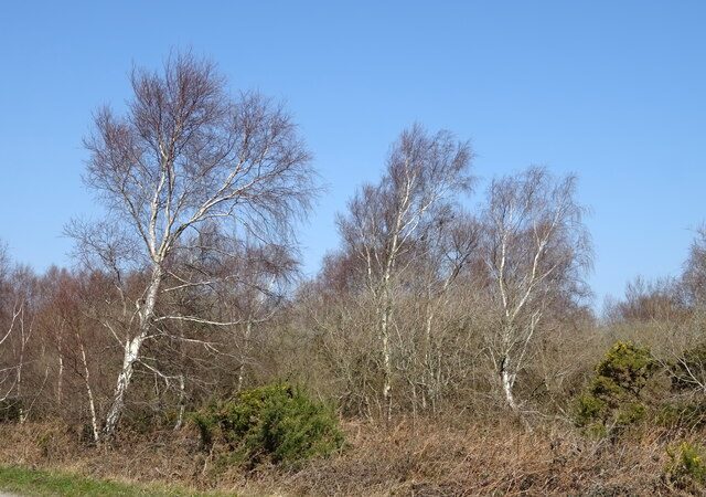
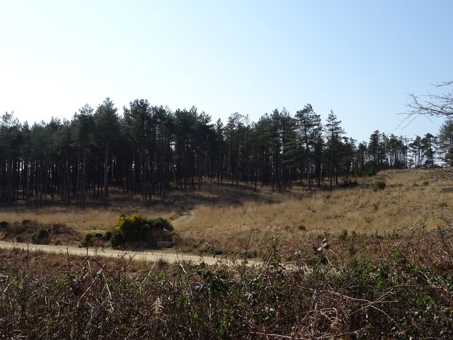
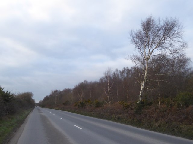
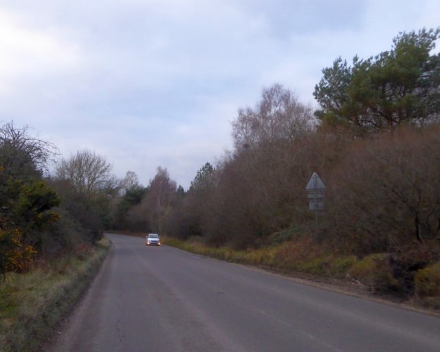
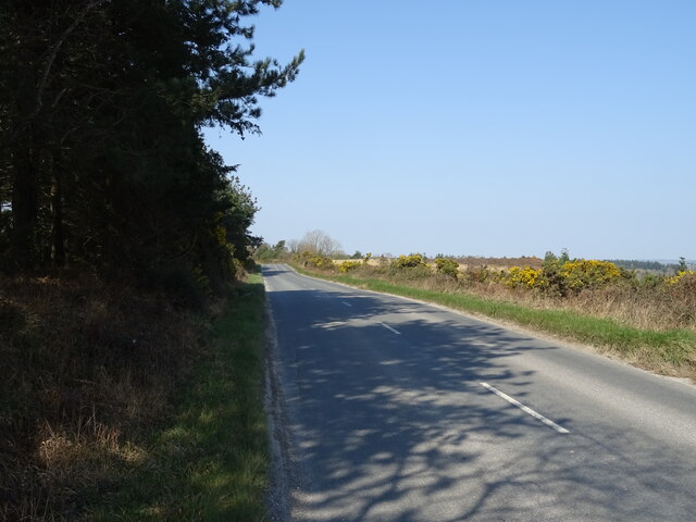
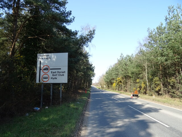
Spratley Wood is a charming woodland located in the county of Dorset, England. Covering an area of approximately 20 acres, it is a popular destination for nature lovers and outdoor enthusiasts. The wood is situated near the village of Bere Regis, just a short distance from the renowned Jurassic Coastline.
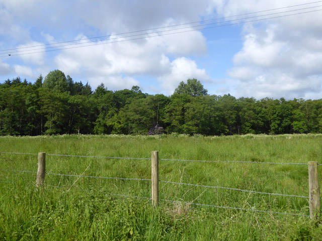
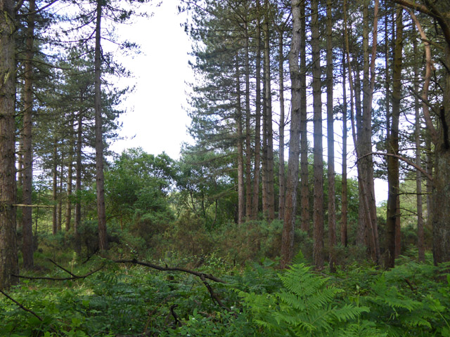
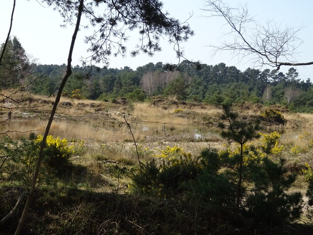
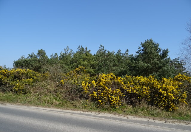
Spratley Wood is predominantly composed of broadleaf trees, including oak, beech, and ash, which create a diverse and vibrant canopy. The forest floor is adorned with a carpet of bluebells during the springtime, providing a picturesque setting for visitors to enjoy.
The woodland is home to a variety of wildlife, with many species of birds, insects, and small mammals making their homes within its boundaries. Birdwatchers can spot rare species such as the woodpecker, while nature enthusiasts can observe the elusive dormouse or the agile red squirrel.
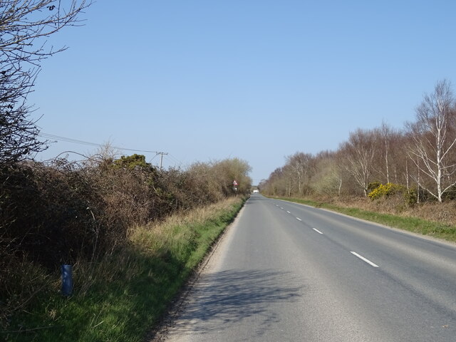
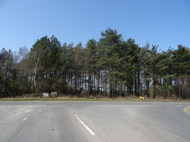
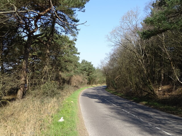
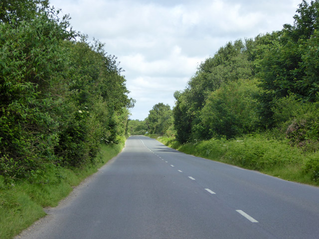
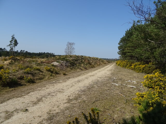
There are several walking trails and pathways that wind through the wood, allowing visitors to explore its natural beauty at their own pace. These paths are well-maintained and provide a peaceful and tranquil environment, perfect for a leisurely stroll or a family picnic.
The wood is managed by a local conservation group who ensure its preservation and protection. They organize educational events and guided walks to promote awareness of the wood's ecological importance and its role in maintaining biodiversity in the region.
Overall, Spratley Wood is a cherished natural gem in Dorset, offering a haven of tranquility and beauty for all who venture into its leafy embrace.
If you have any feedback on the listing, please let us know in the comments section below.
Spratley Wood Images
Images are sourced within 2km of 50.704772/-2.2083141 or Grid Reference SY8589. Thanks to Geograph Open Source API. All images are credited.


Spratley Wood is located at Grid Ref: SY8589 (Lat: 50.704772, Lng: -2.2083141)
Unitary Authority: Dorset
Police Authority: Dorset
What 3 Words
///serious.photocopy.lanes. Near Bovington Camp, Dorset
Nearby Locations
Related Wikis

Monkey World
The Monkey World Ape Rescue Centre is a 65-acre (26.3 ha) ape and monkey sanctuary and rescue centre near Wool, Dorset, England. == History == Set up in...
Winfrith Hundred
Winfrith Hundred was a hundred in the county of Dorset, England, containing the following parishes: Coombe Keynes East Lulworth East Stoke Moreton (part...

Bovington Camp
Bovington Camp () is a British Army military base in Dorset, England. Together with Lulworth Camp it forms part of Bovington Garrison. The garrison is...

Woolbridge Manor House
Woolbridge Manor is a 17th-century manor house just outside the village of Wool, in Dorset, England. English Heritage have designated it a Grade II* listed...

Bindon Abbey
Bindon Abbey (Bindonium) was a Cistercian monastery, of which only ruins remain, on the River Frome about half a mile east of Wool in the Purbeck District...

Wool railway station
Wool railway station serves the village of Wool in Dorset, England. It is on the South West Main Line, 125 miles 69 chains (202.6 km) down the line from...

TOG2
The TOG2, officially known as the Heavy Tank, TOG II, was a British super-heavy tank design produced during the early stages of World War II for a scenario...

The Tank Museum
The Tank Museum (previously The Bovington Tank Museum) is a collection of armoured fighting vehicles at Bovington Camp in Dorset, South West England. It...
Nearby Amenities
Located within 500m of 50.704772,-2.2083141Have you been to Spratley Wood?
Leave your review of Spratley Wood below (or comments, questions and feedback).