Hill Rigg Wood

Wood, Forest in Northumberland

England

Hill Rigg Wood

View towards Goatstones Farm
View towards Goatstones Farm Credit: Les Hull

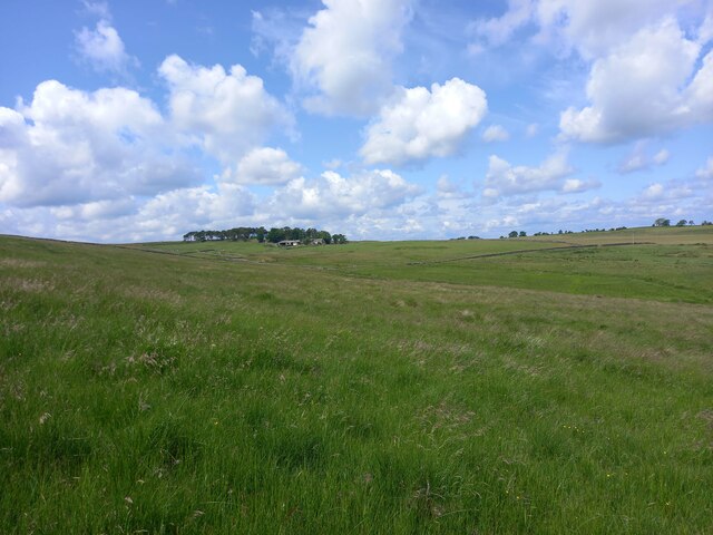
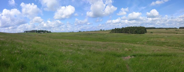
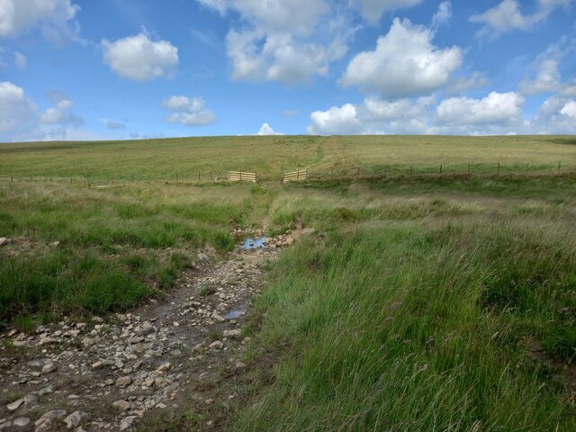
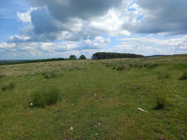
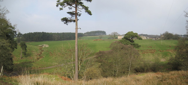
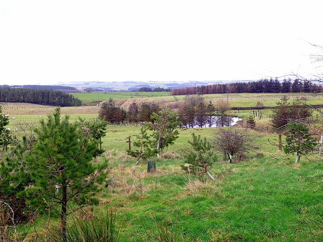
Hill Rigg Wood is a picturesque woodland located in Northumberland, England. Spanning across an area of approximately 100 acres, this enchanting forest is nestled within the tranquil countryside, offering visitors a peaceful retreat from the hustle and bustle of everyday life.

The wood is primarily composed of native broadleaf trees such as oak, ash, birch, and beech, creating a rich and diverse ecosystem. The dense canopy provides shade and shelter for a variety of wildlife, including woodland birds, small mammals, and insects. The forest floor is adorned with a vibrant carpet of wildflowers, making it a haven for nature enthusiasts and photographers alike.

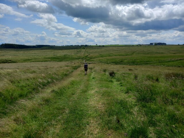
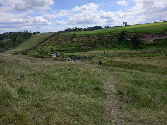
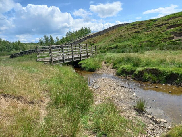
Traversing through Hill Rigg Wood, visitors will find a network of well-maintained footpaths and trails that wind their way through the woodland. These paths offer a chance to explore the forest's hidden nooks and crannies, leading to secret clearings and beautiful viewpoints overlooking the surrounding countryside.

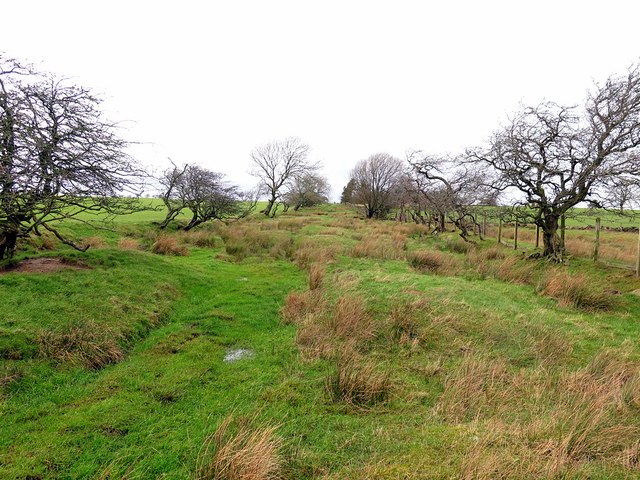
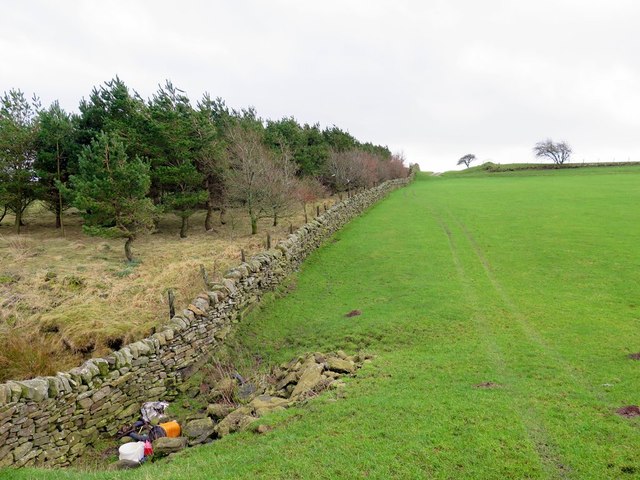
In addition to its natural beauty, Hill Rigg Wood also holds historical significance. The woodland has been preserved for centuries and is believed to have been part of the ancient hunting grounds of nearby castles. Remnants of old stone walls and boundary markers can still be found within the forest, serving as a reminder of its rich past.

Overall, Hill Rigg Wood provides a serene and captivating experience for nature lovers and history enthusiasts alike. With its stunning scenery, diverse wildlife, and intriguing heritage, it is a true gem in the Northumberland countryside.

If you have any feedback on the listing, please let us know in the comments section below.

Hill Rigg Wood Images

Images are sourced within 2km of 55.06267/-2.230342 or Grid Reference NY8574. Thanks to Geograph Open Source API. All images are credited.
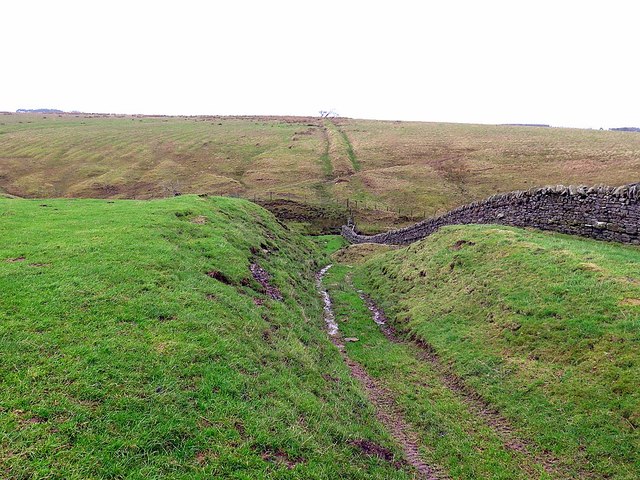
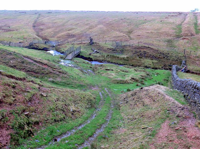
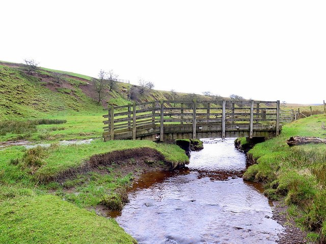
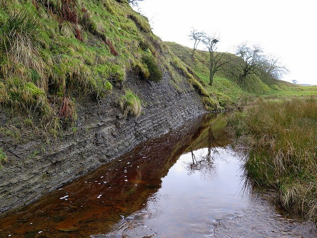
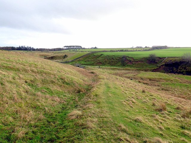
View towards Goatstones Farm
Footpath approaching Castle Burn
View across the Coal Burn Valley
Ford through Castle Burn
View towards Moorland and Farmland Ford through Castle Burn
View towards Moorland and Farmland
Ford through Castle Burn
Footpath towards Fenwickfield
Approaching Footbridge and Ford at Hopeshield Burn
Footbridge and Ford, Hopeshield Burn
Allgood Farm
Allgood Farm
Remains of hedged drove road south of Slaterfield Fell
Slaterfield Fell & Kirkshield at road end "Outside the south wall of the churchyard [Simonburn] a farm road leads up westward to the fell top. After passing three lonely farms it comes to the quaint house named Kirkshield with its crocketed pinnacles, built as a shooting lodge by a seventeenth century rector. Just past the house the road comes to an end, being crossed by an ancient drove-road. This comes down from the north, its wide grass-track leading southwards towards the Roman Wall and beyond. One wonders how often it has seen stolen lowland cattle being driven northwards in the old days of the moss-troopers."
The Great Parish of Simonburn from Hadrian's Wall to Carter Bar: An Historical Guide by Cecil Dickson Ward Davis (1972).
Slaterfield Fell & Kirkshield at road end
"Outside the south wall of the churchyard [Simonburn] a farm road leads up westward to the fell top. After passing three lonely farms it comes to the quaint house named Kirkshield with its crocketed pinnacles, built as a shooting lodge by a seventeenth century rector. Just past the house the road comes to an end, being crossed by an ancient drove-road. This comes down from the north, its wide grass-track leading southwards towards the Roman Wall and beyond. One wonders how often it has seen stolen lowland cattle being driven northwards in the old days of the moss-troopers." The Great Parish of Simonburn from Hadrian's Wall to Carter Bar: An Historical Guide by Cecil Dickson Ward Davis (1972).
Pasture and shelter-belt north of Slaterfield Fell The stream shown on the smaller scale OS maps (1:25,000 and 1:50,000) as crossing the field occupies a thin band of limestone and now flows underground from sinks on the west side of the improved land, emerging in this hollow in the photo foreground on the east edge. It has been utilised by the landowner to the east of the wall (left) by using it to supply two ponds along its course on the down-slope just above its junction with the Hopeshield Burn <a href="https://www.geograph.org.uk/photo/4817346">NY8573 : Pond above Hopeshield Burn</a>.

A previous photo taken in the opposite direction in evening sunlight <a href="https://www.geograph.org.uk/photo/1142219">NY8572 : Wall north-west of Slaterfield Fell</a> picks out the subtle contours of the shallow valley that runs across the field showing the course of the underground water-course.
Pasture and shelter-belt north of Slaterfield Fell
The stream shown on the smaller scale OS maps (1:25,000 and 1:50,000) as crossing the field occupies a thin band of limestone and now flows underground from sinks on the west side of the improved land, emerging in this hollow in the photo foreground on the east edge. It has been utilised by the landowner to the east of the wall (left) by using it to supply two ponds along its course on the down-slope just above its junction with the Hopeshield Burn NY8573 : Pond above Hopeshield Burn. A previous photo taken in the opposite direction in evening sunlight NY8572 : Wall north-west of Slaterfield Fell picks out the subtle contours of the shallow valley that runs across the field showing the course of the underground water-course.
Pond above Hopeshield Burn
'Hollow' track above Hopeshield Burn Hollow tracks on both sides of the valley crossing show the antiquity of the route of the bridleway and former drove road along this course. Old maps, and the current line of the right of way, indicate a more graded descent and ascent on both sides by dog-leg diversions away from its straight line course along the boundary wall <a href="https://www.geograph.org.uk/photo/4817388">NY8473 : Crossing of the Hopeshield Burn</a>. Beyond the stream crossing, the boundary continues as a prominent bank <a href="https://www.geograph.org.uk/photo/1142221">NY8473 : Ruined wall by bridleway west of Fenwickfield</a>
'Hollow' track above Hopeshield Burn
Hollow tracks on both sides of the valley crossing show the antiquity of the route of the bridleway and former drove road along this course. Old maps, and the current line of the right of way, indicate a more graded descent and ascent on both sides by dog-leg diversions away from its straight line course along the boundary wall NY8473 : Crossing of the Hopeshield Burn. Beyond the stream crossing, the boundary continues as a prominent bank NY8473 : Ruined wall by bridleway west of Fenwickfield
Crossing of the Hopeshield Burn The bridleway is provided with a modern wooden footbridge. The ford that would have provided an earlier crossing on the old drove road can be seen to its left and is still used by local farm traffic. The curving course of the track on the opposite slope can be seen on the left taking an easier route up the gradient before returning at the top of the hill to its line along the boundary bank shown on the right.
Crossing of the Hopeshield Burn
The bridleway is provided with a modern wooden footbridge. The ford that would have provided an earlier crossing on the old drove road can be seen to its left and is still used by local farm traffic. The curving course of the track on the opposite slope can be seen on the left taking an easier route up the gradient before returning at the top of the hill to its line along the boundary bank shown on the right.
Footbridge over Hopeshield Burn
Carboniferous shale along Hopeshield Burn
Bridleway descending slope on north side of Hopeshield Burn
Show me another place!

Hill Rigg Wood is located at Grid Ref: NY8574 (Lat: 55.06267, Lng: -2.230342)

Unitary Authority: Northumberland

Police Authority: Northumbria

What 3 Words

///picture.walked.patting. Near Birtley, Northumberland

Related Wikis

Greenhaugh

Greenhaugh is a small village in Northumberland, England. It is located northwest of Bellingham and borders the Northumberland National Park. It is in...

Simonburn

Simonburn is a small human settlement in Northumberland, England. == Early history == Simonburn lies to the north of Hadrian's Wall, the most noted Roman...

Nunwick Hall

Nunwick Hall is a privately owned 18th-century country house near Simonburn, Northumberland in North East England. The estate has been the home of the...

The Goatstones

The Goatstones is a Bronze-Age four-poster stone circle located near Ravensheugh Crags in Northumberland, England. It is 2.5 miles (4.0 km) to the north...

Wark in Tyndale Castle

Wark in Tyndale Castle was a medieval building in the English county of Northumberland (grid reference NY861768). It was first mentioned in 1399–1400,...

Wark Town Hall

Wark Town Hall is a municipal building on The Green in Wark on Tyne, Northumberland, England. The building, which is used as a community events venue,...

Carrawburgh

Carrawburgh is a settlement in Northumberland. In Roman times, it was the site of a 3+1⁄2-acre (1.5 ha) auxiliary fort on Hadrian's Wall called Brocolitia...

Wark railway station

Wark railway station is a disused railway station which served the village of Wark on Tyne, Northumberland, England. Located on the Border Counties Railway...

Nearby Amenities

Located within 500m of 55.06267,-2.230342
Ford: yes
Lat/Long: 55.0595129/-2.2311592
Ford: yes
Lat/Long: 55.0638577/-2.2294172
Ford: yes
Lat/Long: 55.0638388/-2.2287363
The data included in this document is from www.openstreetmap.org. The data is made available under ODbL.

Have you been to Hill Rigg Wood?

Leave your review of Hill Rigg Wood below (or comments, questions and feedback).