Oaken Lawn
Wood, Forest in Staffordshire South Staffordshire
England
Oaken Lawn
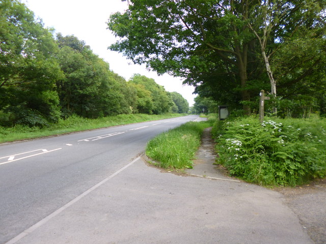
Oaken Lawn is a charming woodland area located in the county of Staffordshire, England. Situated amidst the stunning Staffordshire Moorlands, this picturesque wood offers a serene and tranquil escape from the hustle and bustle of everyday life.
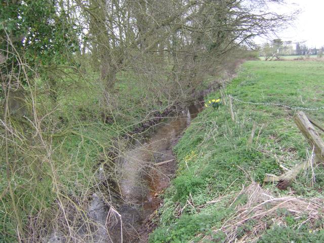
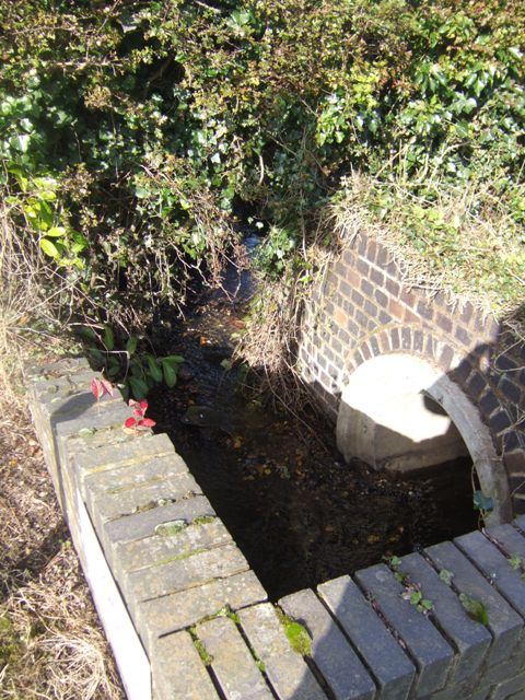
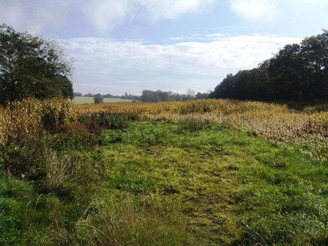
Covering an area of approximately 100 acres, Oaken Lawn is characterized by its dense and lush forest, comprising a captivating mix of deciduous and coniferous trees. The woodland is home to a diverse range of plant and animal species, making it a haven for nature enthusiasts and wildlife lovers alike. The forest floor is adorned with a carpet of vibrant wildflowers, adding to the area's natural beauty.
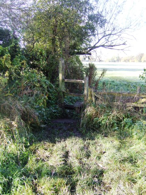
The wood is crisscrossed by a network of well-maintained trails, providing visitors with the opportunity to explore its hidden gems and immerse themselves in the enchanting surroundings. These paths wind through the ancient trees and lead to secluded clearings, where visitors can pause and appreciate the serenity of the woodland.
Oaken Lawn is a popular destination for outdoor activities such as walking, hiking, and birdwatching. The tranquil atmosphere and abundance of wildlife make it an ideal spot for nature photography and nature study. The wood also offers a designated picnic area, allowing visitors to enjoy a leisurely lunch surrounded by the beauty of nature.
Located just a short distance from the charming village of Oaken, the wood is easily accessible by car and offers ample parking facilities. Whether you are seeking a peaceful retreat or an opportunity to connect with nature, Oaken Lawn in Staffordshire provides the perfect setting for a memorable woodland experience.
If you have any feedback on the listing, please let us know in the comments section below.
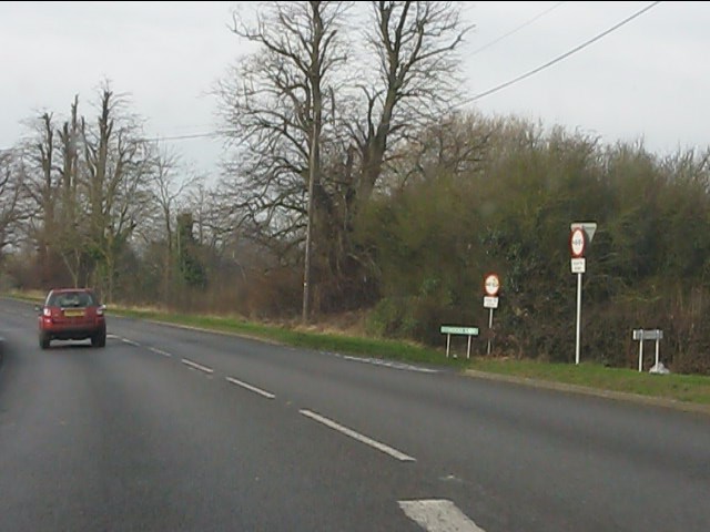
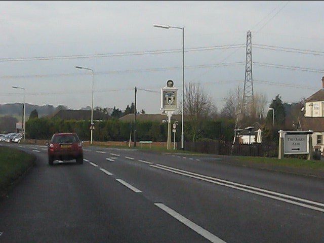
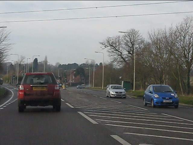
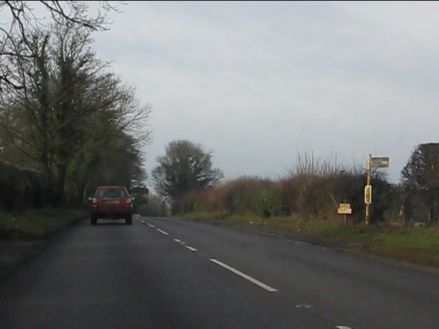
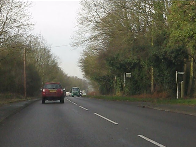
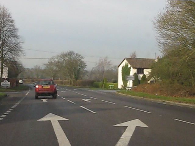
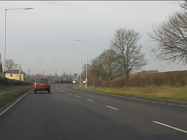
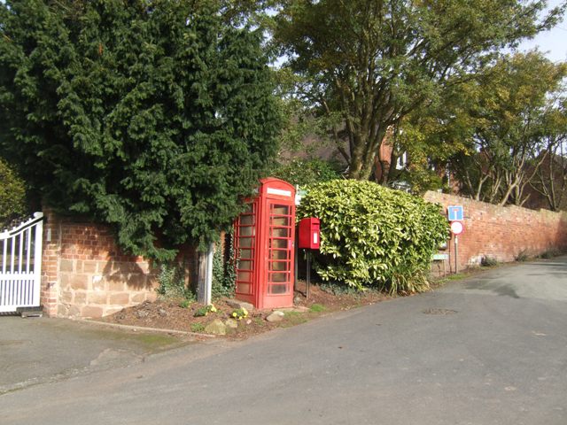
Oaken Lawn Images
Images are sourced within 2km of 52.624132/-2.2261376 or Grid Reference SJ8402. Thanks to Geograph Open Source API. All images are credited.

Oaken Lawn is located at Grid Ref: SJ8402 (Lat: 52.624132, Lng: -2.2261376)
Administrative County: Staffordshire
District: South Staffordshire
Police Authority: Staffordshire
What 3 Words
///achieving.acting.games. Near Codsall, Staffordshire
Nearby Locations
Related Wikis
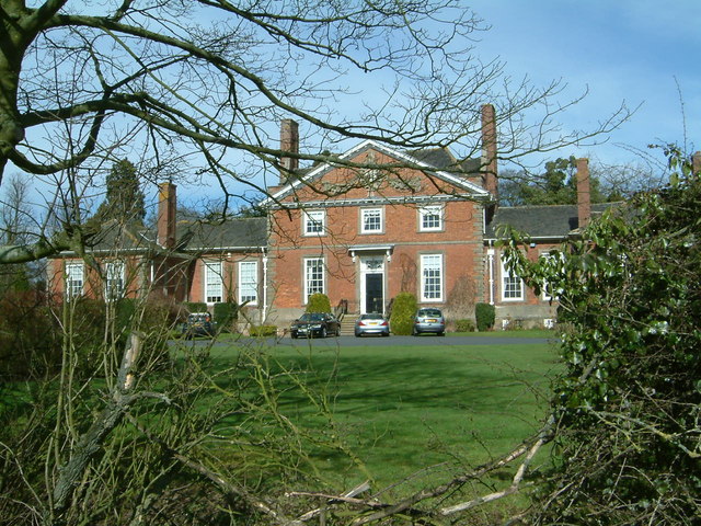
Wrottesley Hall
Wrottesley Hall is a 1923-built Grade II listed house in the civil parish of Perton, and historically part of Tettenhall in Staffordshire, England. The...

Oaken
Oaken is a small village in Staffordshire, England. The first mention of the Oaken place-name was in 1086 when it was listed in the Domesday book as Ache...

Codsall railway station
Codsall railway station serves the village of Codsall in Staffordshire, England. == History == The original listed GWR footbridge, between the two platforms...
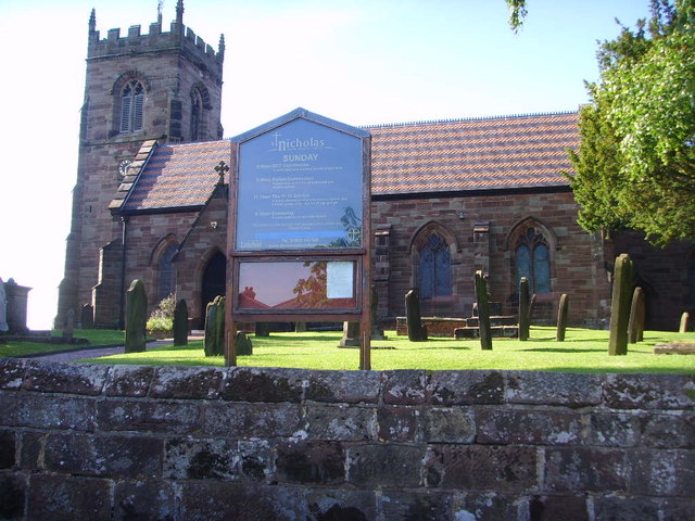
St Nicholas' Church, Codsall
St Nicholas’ Church, Codsall is a Grade II* listed parish church in the Church of England in Codsall == History == The doorway is Norman. The west tower...

Codsall
Codsall is a large village in the South Staffordshire district of Staffordshire, England. It is situated 5 miles northwest of Wolverhampton and 13 miles...
South Staffordshire
South Staffordshire is a local government district in Staffordshire, England. The district lies to the north and west of the West Midlands county, bordering...
Birches Bridge
Birches Bridge is an area of Codsall, Staffordshire. It is situated to the northwest of Wolverhampton between Bilbrook and Codsall. == Name and origins... ==
Codsall Community High School
Codsall Community High School is a coeducational upper school and sixth form located in Codsall, Staffordshire, England.It is located in a large village...
Nearby Amenities
Located within 500m of 52.624132,-2.2261376Have you been to Oaken Lawn?
Leave your review of Oaken Lawn below (or comments, questions and feedback).