Down Covert
Wood, Forest in Gloucestershire Cotswold
England
Down Covert
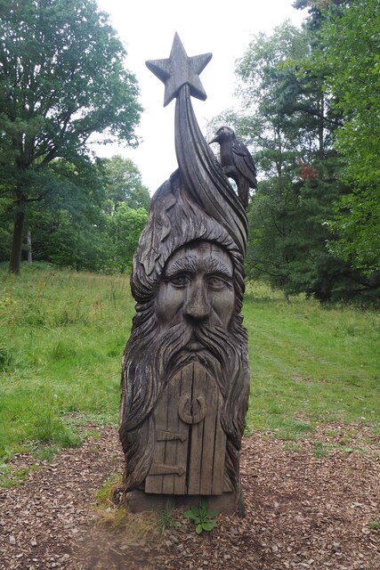
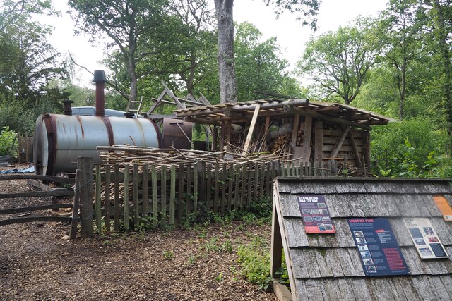
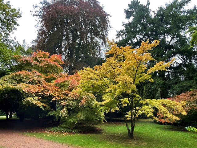
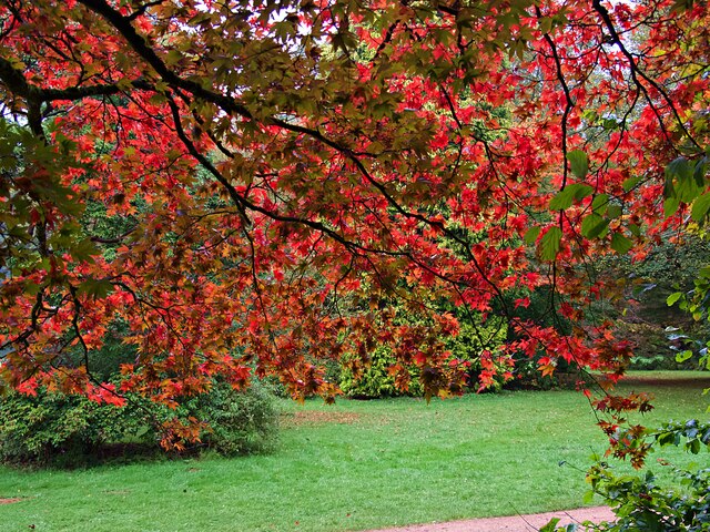
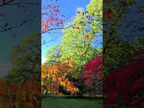
Down Covert is a small woodland located in the county of Gloucestershire, England. Situated in the Forest of Dean, it spans an area of approximately 100 acres. The woodland is characterized by its dense canopy of trees, predominantly consisting of oak and beech trees. The forest floor is covered in a thick layer of leaf litter, creating a natural carpet of decaying vegetation.
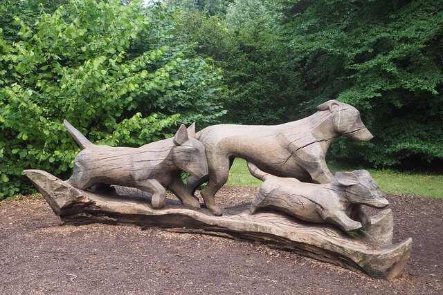
The woodland is home to a diverse range of flora and fauna. The undergrowth is adorned with a variety of wildflowers, including bluebells and primroses, which bloom in the spring. The dense vegetation provides a habitat for numerous bird species, such as woodpeckers, owls, and thrushes. Small mammals, such as squirrels and rabbits, can also be found within the woodland, while larger mammals like deer occasionally roam its paths.
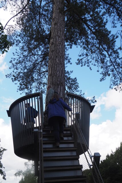
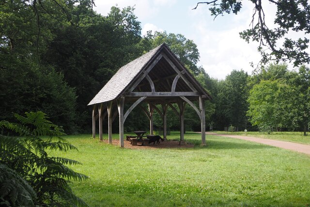
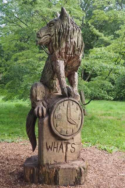
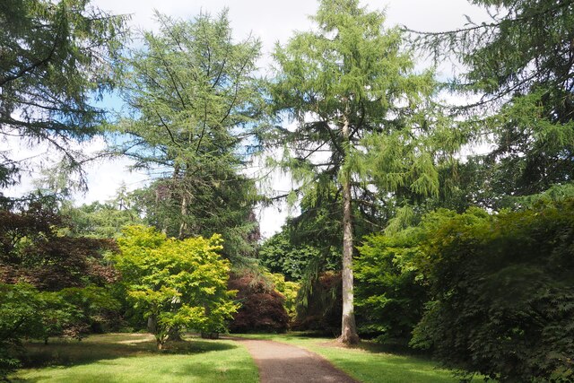
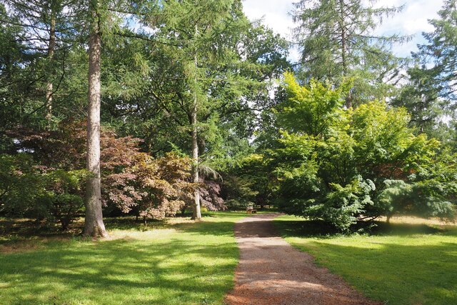
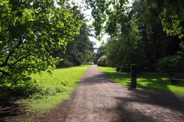
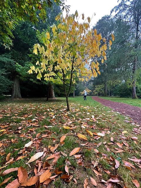
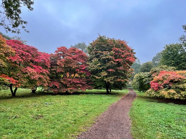
The woodland is intersected by several walking trails, allowing visitors to explore its beauty and tranquility. These paths wind through the forest, leading to clearings and viewpoints that offer stunning vistas of the surrounding countryside. Down Covert is a popular destination for nature enthusiasts, hikers, and photographers, who come to enjoy the peacefulness and natural beauty of this hidden gem.
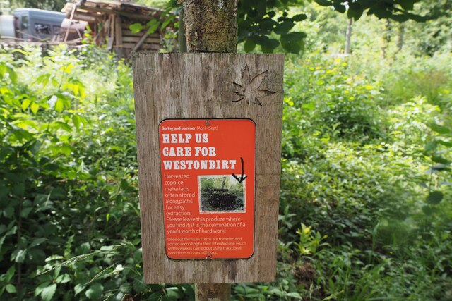
Managed by local authorities, the woodland is carefully preserved to protect its delicate ecosystem. Conservation efforts include maintaining the balance of tree species, managing invasive plant species, and protecting wildlife habitats. Educational programs and guided tours are also organized to raise awareness about the importance of woodland conservation and biodiversity.
In conclusion, Down Covert in Gloucestershire is a picturesque woodland nestled in the Forest of Dean, offering a haven for wildlife and a serene escape for visitors seeking a connection with nature.
If you have any feedback on the listing, please let us know in the comments section below.
Down Covert Images
Images are sourced within 2km of 51.609758/-2.2210129 or Grid Reference ST8490. Thanks to Geograph Open Source API. All images are credited.
Down Covert is located at Grid Ref: ST8490 (Lat: 51.609758, Lng: -2.2210129)
Administrative County: Gloucestershire
District: Cotswold
Police Authority: Gloucestershire
What 3 Words
///puff.winning.baseless. Near Sherston, Wiltshire
Related Wikis

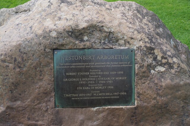
Westonbirt Arboretum
Westonbirt, The National Arboretum is an arboretum in Gloucestershire, England, about 3 miles (5 km) southwest of the town of Tetbury. Managed by Forestry...

Westonbirt
Westonbirt is a village in the civil parish of Westonbirt with Lasborough, in the district of Cotswold, in the county of Gloucestershire, England. ��2...

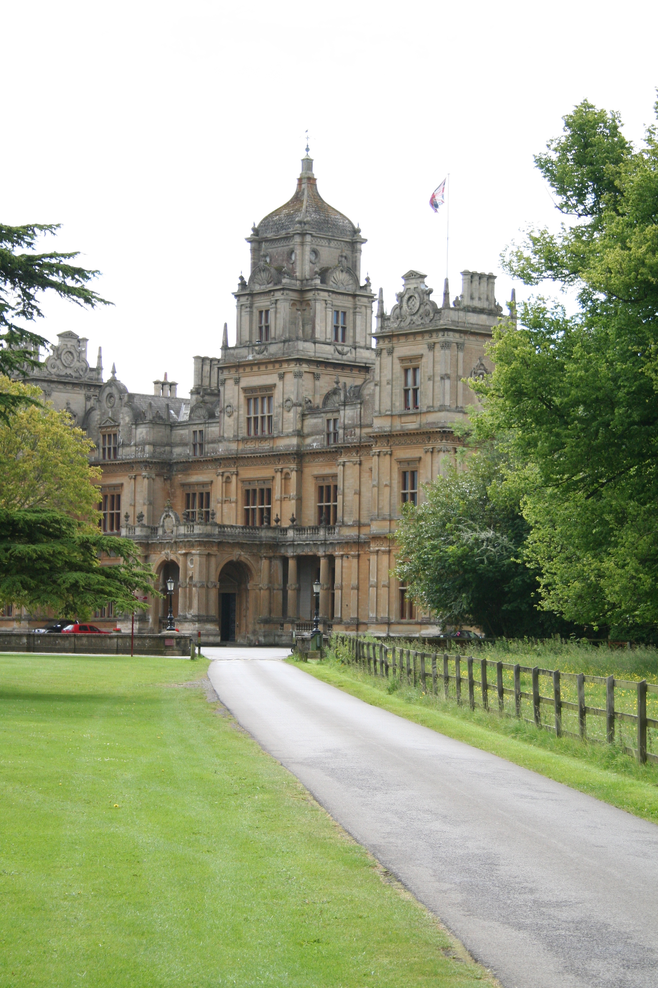
Westonbirt House
Westonbirt House is a country house in Gloucestershire, England, about 3 miles (5 km) southwest of the town of Tetbury. It belonged to the Holford family...
Westonbirt School
Westonbirt School is a co-educational independent day and boarding school for boys and girls aged 11 to 18 located near Tetbury in Gloucestershire in South...

Leighterton
Leighterton is a village in rural Gloucestershire off the A46. It sits within the civil parish of Boxwell with Leighterton, 4.25 miles west-southwest...
Westonbirt with Lasborough
Westonbirt with Lasborough is a civil parish in the district of Cotswold, in the county of Gloucestershire, England. It includes the villages of Lasborough...

Boxwell with Leighterton
Boxwell with Leighterton is a civil parish in the Cotswold district of Gloucestershire, England. According to the 2001 census it had a population of 232...
Highgrove House
Highgrove House is the family residence of King Charles III and Queen Camilla. It lies southwest of Tetbury in Gloucestershire, England. Built in the late...
Related Videos

Westonbirt National Arboretum 🍁Cotswolds AUTUMN Fall Walk Through | Virtual Walking Tour in 4K POV 🍂
Welcome to Maple Loop at The National Arboretum on a sunny Autumnal day - is this the best place to see the amazing seasonal ...

How to Holiday in Bristol – episode 2: Westonbirt Arboretum
Explore the Westonbirt Arboretum with me as I go through the Silk Forest and appreciate the relaxing scenery. Feel free to ...
#autumn #colors at #westonbirt #arboretum acer glade
autumn #colors at #westonbirt #arboretum acer glade autumn leaves autumn Colours autumn foliage things to do in Cotswold ...
Nearby Amenities
Located within 500m of 51.609758,-2.2210129Have you been to Down Covert?
Leave your review of Down Covert below (or comments, questions and feedback).