Round Wood

Wood, Forest in Wiltshire

England

Round Wood

View Towards Colerne Folly Farm is in the mid-distance with Colerne on the top of the hill.  The tower of the Parish Church of St John the Baptist is visible towards the eastern (right) side of Colerne.  The Water Tower at Colerne Airfield can be seen on the horizon in the centre of the image.
View Towards Colerne Credit: Doug Lee

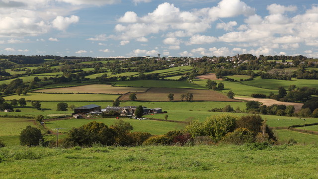
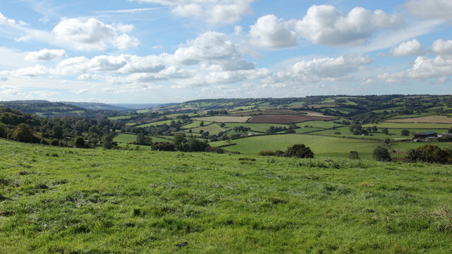
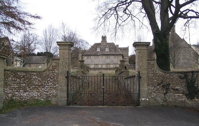
Round Wood is a picturesque forest located in the county of Wiltshire, England. Spanning an area of approximately 100 acres, this woodland is known for its natural beauty and diverse wildlife. It is situated near the village of Wood, which is about 3 miles southeast of the town of Calne.

The forest is mainly composed of deciduous trees, such as oak, beech, and ash, which create a dense canopy that provides shade and shelter for the numerous species that call Round Wood their home. The woodland floor is covered with a variety of plants, including bluebells, wild garlic, and ferns, adding to its aesthetic appeal.

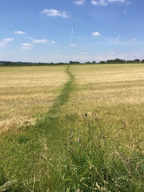
Round Wood is a popular destination for nature enthusiasts and hikers due to its extensive network of well-maintained walking trails. These paths wind through the forest, offering visitors the opportunity to immerse themselves in the tranquility of the surroundings while enjoying the fresh air and natural beauty.

The forest is also home to a wide range of wildlife, including deer, foxes, badgers, and a multitude of bird species. Birdwatchers flock to Round Wood to catch a glimpse of the various feathered residents, such as woodpeckers, owls, and buzzards.

In addition to its natural attractions, Round Wood offers several amenities for visitors, including picnic areas and designated camping spots. The forest is managed by the local authorities, who work diligently to ensure its preservation and sustainability for future generations to enjoy.

If you have any feedback on the listing, please let us know in the comments section below.
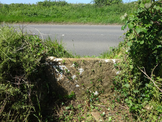
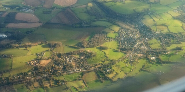
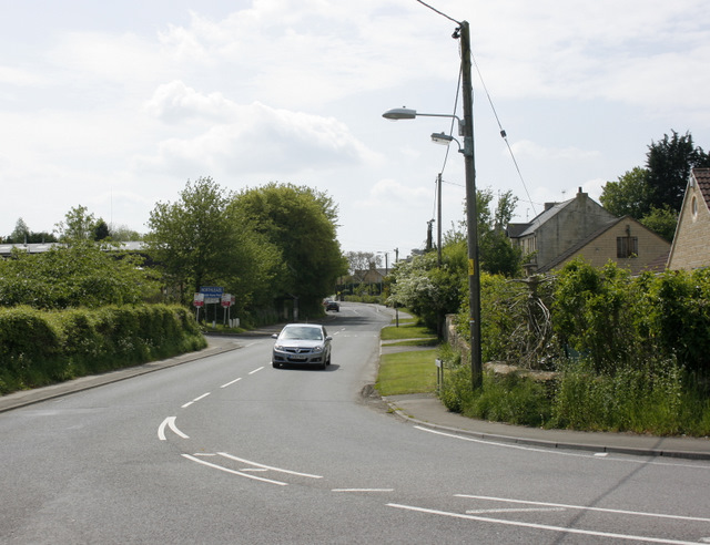
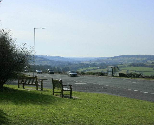
Round Wood Images

Images are sourced within 2km of 51.415814/-2.2202191 or Grid Reference ST8468. Thanks to Geograph Open Source API. All images are credited.

View Towards Colerne Folly Farm is in the mid-distance with Colerne on the top of the hill.  The tower of the Parish Church of St John the Baptist is visible towards the eastern (right) side of Colerne.  The Water Tower at Colerne Airfield can be seen on the horizon in the centre of the image.
View Towards Colerne
Folly Farm is in the mid-distance with Colerne on the top of the hill. The tower of the Parish Church of St John the Baptist is visible towards the eastern (right) side of Colerne. The Water Tower at Colerne Airfield can be seen on the horizon in the centre of the image.
View Southwest from Rudloe Batheaston lies in the valley to the left of the image in the mid-distance below the horizon.
View Southwest from Rudloe
Batheaston lies in the valley to the left of the image in the mid-distance below the horizon.
Wadswick Trig Point Flush Bracket S2486
A well worn path
A well worn path
Old Milestone, Box Against the barn wall adjacent to a stone buttress. On a grass verge, a foot above the road level. There are two nearby milestones, a missing one to the West, by <a href="https://www.geograph.org.uk/photo/6114503">ST8367 : Old Toll House by Kingsdown Road, Blue Vein</a> would have indicated Bath 6, while to the East <a href="https://www.geograph.org.uk/photo/6061000">ST8367 : Old Milestone by the A365, Devizes Road, Box Fiveways</a> it was Bath 7. This may indicate this milestone was abandoned quite early on, or the 1899 map was in error. A fourth <a href="https://www.geograph.org.uk/photo/6114871">ST8367 : Old Milestone by the A365, Devizes Road, Box</a> to the NE would have said Bath 7.

Inscription (was): Bath 7

Milestone Society National ID: WI_LB_BABH07
Old Milestone, Box
Against the barn wall adjacent to a stone buttress. On a grass verge, a foot above the road level. There are two nearby milestones, a missing one to the West, by ST8367 : Old Toll House by Kingsdown Road, Blue Vein would have indicated Bath 6, while to the East ST8367 : Old Milestone by the A365, Devizes Road, Box Fiveways it was Bath 7. This may indicate this milestone was abandoned quite early on, or the 1899 map was in error. A fourth ST8367 : Old Milestone by the A365, Devizes Road, Box to the NE would have said Bath 7. Inscription (was): Bath 7 Milestone Society National ID: WI_LB_BABH07
Stone Stile, Lower Wadswick On the north side of the A365, on Wiltshire footpath Box58. Looking from the road, the view looking South is <a href="https://www.geograph.org.uk/photo/7188519">ST8467 : Stone Stile, Lower Wadswick</a>.
Stone Stile, Lower Wadswick
On the north side of the A365, on Wiltshire footpath Box58. Looking from the road, the view looking South is ST8467 : Stone Stile, Lower Wadswick.
Stone Stile, Lower Wadswick On the north side of the A365, on Wiltshire footpath Box58. Looking to the road, the view looking North is <a href="https://www.geograph.org.uk/photo/7188517">ST8467 : Stone Stile, Lower Wadswick</a>.
Stone Stile, Lower Wadswick
On the north side of the A365, on Wiltshire footpath Box58. Looking to the road, the view looking North is ST8467 : Stone Stile, Lower Wadswick.
Stone Stile, Lower Wadswick On Wiltshire footpath BOX58, looking North to the A365. The view from the road is <a href="https://www.geograph.org.uk/photo/7188529">ST8467 : Stone Stile, Lower Wadswick</a>.
Stone Stile, Lower Wadswick
On Wiltshire footpath BOX58, looking North to the A365. The view from the road is ST8467 : Stone Stile, Lower Wadswick.
Stone Stile, Lower Wadswick On Wiltshire footpath BOX58, looking South from the A365. The view looking to the road is <a href="https://www.geograph.org.uk/photo/7188528">ST8467 : Stone Stile, Lower Wadswick</a>.
Stone Stile, Lower Wadswick
On Wiltshire footpath BOX58, looking South from the A365. The view looking to the road is ST8467 : Stone Stile, Lower Wadswick.
Box from the air The main railway line crosses the right side of the image horizontally and then abruptly disappears into the Box Tunnel before reaching the central wood. Below is the A4.
Box from the air
The main railway line crosses the right side of the image horizontally and then abruptly disappears into the Box Tunnel before reaching the central wood. Below is the A4.
Brewers Yard Quarry This photo shows some blocks of stone that were never removed from this quarry.
Owned by a Mr Brewer who was a contractor on the Box Tunnel construction is unusual as it is on two levels.
Brewers Yard Quarry
This photo shows some blocks of stone that were never removed from this quarry. Owned by a Mr Brewer who was a contractor on the Box Tunnel construction is unusual as it is on two levels.
Copenacre Copenacre Quarry was converted into a Naval Stores Depot (part of Spring Quarry Naval Stores Depot) and was in use from the 1940's to the mid 1990's. Here we see a telephone box and a Stores Manager's office in the background. It has now become a dumping ground for the adjoining Hartham Quarry.
Copenacre
Copenacre Quarry was converted into a Naval Stores Depot (part of Spring Quarry Naval Stores Depot) and was in use from the 1940's to the mid 1990's. Here we see a telephone box and a Stores Manager's office in the background. It has now become a dumping ground for the adjoining Hartham Quarry.
2008 : Lower Rudloe Farm Lower Rudloe Farm is the nearest building to the camera, some of it is just visible among the trees bottom left by the side of the lane. Folly Cottage is behind it.
At the top of the hill we come to the northern edge of Rudloe.
2008 : Lower Rudloe Farm
Lower Rudloe Farm is the nearest building to the camera, some of it is just visible among the trees bottom left by the side of the lane. Folly Cottage is behind it. At the top of the hill we come to the northern edge of Rudloe.
Public footpath sign Unusual use of a road sign on a tree near Rudloe, to show the route of a footpath.
Public footpath sign
Unusual use of a road sign on a tree near Rudloe, to show the route of a footpath.
2009 : B3109 near Corsham The car approaching on Bradford Road is about to join the A4.
Rudloe is ahead then Bradford on Avon.
2009 : B3109 near Corsham
The car approaching on Bradford Road is about to join the A4. Rudloe is ahead then Bradford on Avon.
2010 : North west from the A4 At the top of Box Hill.
Looking across the valley of the By Brook. Folly Farm is on the hill to the right. Colern parish church stands proud of the skyline right of centre with a water tower to the left.
2010 : North west from the A4
At the top of Box Hill. Looking across the valley of the By Brook. Folly Farm is on the hill to the right. Colern parish church stands proud of the skyline right of centre with a water tower to the left.
2010 : A4 near Rudloe At the top of Box Hill.
Heading east toward Corsham and Chippenham.
2010 : A4 near Rudloe
At the top of Box Hill. Heading east toward Corsham and Chippenham.
2010 : A4 north of Rudloe Heading south west toward Box Hill, Box, and Bath.
2010 : A4 north of Rudloe
Heading south west toward Box Hill, Box, and Bath.
Show me another place!

Round Wood is located at Grid Ref: ST8468 (Lat: 51.415814, Lng: -2.2202191)

Unitary Authority: Wiltshire

Police Authority: Wiltshire

What 3 Words

///purely.clings.freezers. Near Neston, Wiltshire

Related Wikis

Central Government War Headquarters

The Central Government War Headquarters (CGWHQ) is a 35-acre (14 ha) complex built 120 feet (37 m) underground as the United Kingdom's emergency government...

MOD Corsham

MOD Corsham (formerly Basil Hill Barracks) is a Ministry of Defence establishment located between the towns of Corsham and Box in Wiltshire, England....

RAF Rudloe Manor

RAF Rudloe Manor, formerly RAF Box, was a Royal Air Force station north-east of Bath, England, between the settlements of Box and Corsham, in Wiltshire...

Box Tunnel

Box Tunnel passes through Box Hill on the Great Western Main Line (GWML) between Bath and Chippenham. The 1.83-mile (2.95 km) tunnel was the world's longest...

Chapel Plaister

Chapel Plaister is a hamlet in west Wiltshire, England. It lies on the B3109 road between Corsham and Bradford on Avon, about 1 mile (1.6 km) south-east...

Box Mine

Box Mine (grid reference ST838690) is a 56.6 ha (139.9 acres) biological Site of Special Scientific Interest, near the village of Box in Wiltshire, England...

Hazelbury, Wiltshire

Hazelbury is a former village in the civil parish of Box, Wiltshire, England. It was about 0.5 miles (0.8 km) southeast of the present-day village of Box...

Hazelbury Manor

Hazelbury Manor is a Grade I listed manor house, parts of which date back to the 15th century, in the hamlet of Hazelbury in the parish of Box, Wiltshire...

Nearby Amenities

Located within 500m of 51.415814,-2.2202191
Power: pole
Lat/Long: 51.4190965/-2.223476
Power: pole
Lat/Long: 51.4197404/-2.2175968
Power: pole
Lat/Long: 51.4195514/-2.2192034
Power: pole
Lat/Long: 51.4194293/-2.2206384
Power: pole
Lat/Long: 51.4192587/-2.2220761
Power: pole
Lat/Long: 51.4190028/-2.2244632
Power: pole
Lat/Long: 51.4175626/-2.2253779
Power: pole
Lat/Long: 51.4164301/-2.2263622
Barrier: grass
Lat/Long: 51.4174982/-2.2162182
Wadswick Green
Note: over 60s residential apartments
Place: hamlet
Url: https://wadswickgreen.co.uk/
Lat/Long: 51.4131933/-2.2152607
Crossing
Crossing: unmarked
Crossing Island: no
Crossing Markings: no
Tactile Paving: no
Lat/Long: 51.4133251/-2.219088
Power: transformer
Lat/Long: 51.4173365/-2.2257964
Power: transformer
Lat/Long: 51.417306/-2.2255737
The data included in this document is from www.openstreetmap.org. The data is made available under ODbL.

Have you been to Round Wood?

Leave your review of Round Wood below (or comments, questions and feedback).