Coatenhill Plantation

Wood, Forest in Northumberland

England

Coatenhill Plantation

Road crossing ford of River East Allen There's a mere trickle of water across the concrete of the ford near to Low Huntwell on this occasion but the water depth indicator to the right of the crossing suggests a depth of up to six feet might be possible: a frightening prospect!
Road crossing ford of River East Allen Credit: Trevor Littlewood

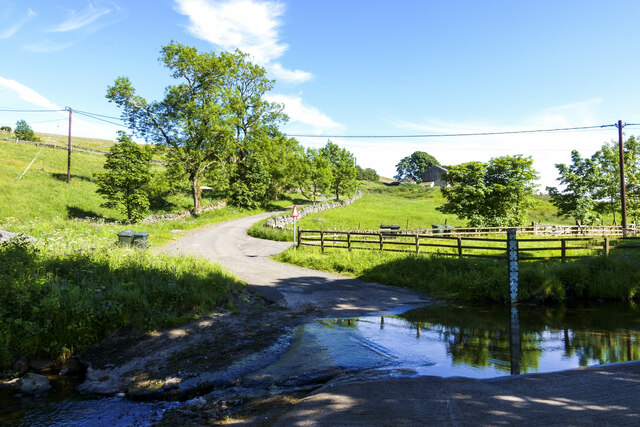
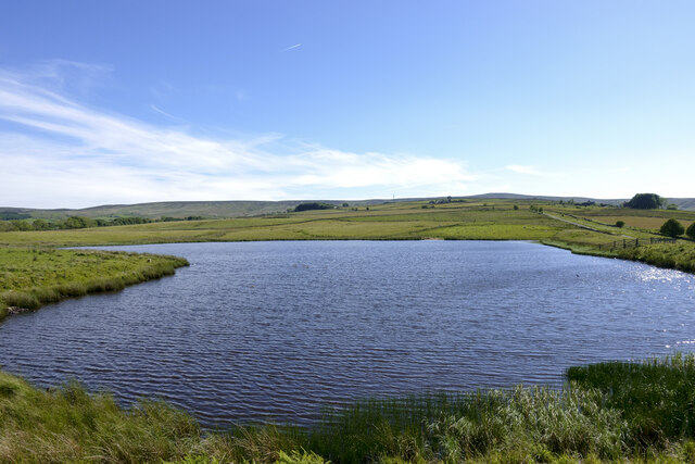
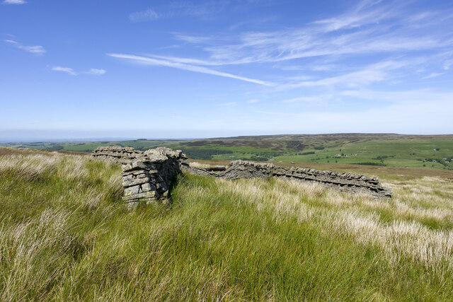
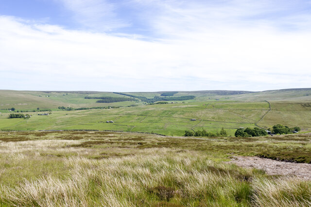
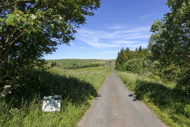
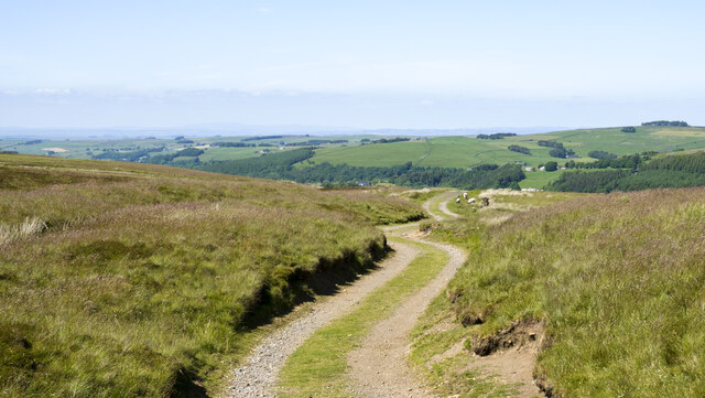
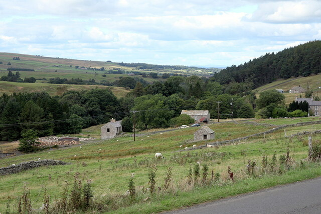
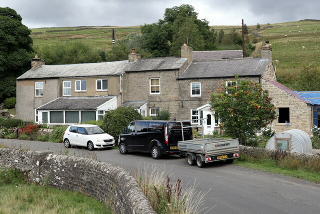
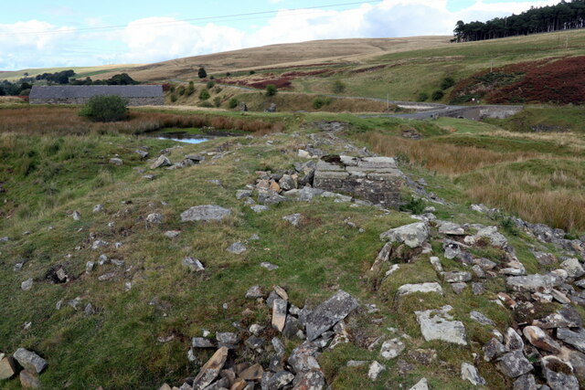
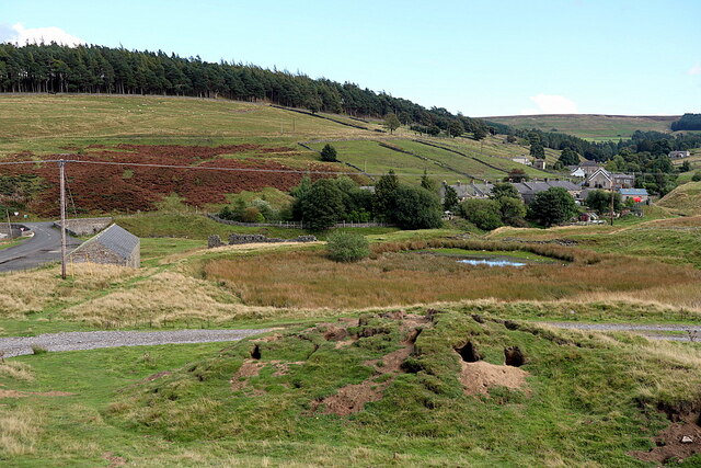
Coatenhill Plantation is a sprawling woodland located in the county of Northumberland, England. Covering an expansive area, it is considered one of the largest plantations in the region. The plantation is situated near the village of Coatenhill, providing a natural haven for both wildlife and outdoor enthusiasts.

Characterized by dense forests and lush vegetation, Coatenhill Plantation offers a diverse range of tree species, including oak, beech, and ash. The woodland is known for its impressive biodiversity, hosting numerous flora and fauna species that thrive in its varied habitats.

Visitors to Coatenhill Plantation can explore a network of well-maintained trails, allowing them to immerse themselves in the natural beauty of the area. These trails cater to different levels of difficulty, accommodating both leisurely walkers and experienced hikers. The plantation also features designated picnic areas, providing a tranquil setting for visitors to enjoy a meal amidst the picturesque surroundings.

Coatenhill Plantation is not only a popular destination for nature lovers but also serves as an important habitat for wildlife. The woodland is home to a wide range of animals, including deer, foxes, badgers, and various species of birds. Birdwatchers particularly flock to the plantation to spot rare and migratory species that frequent the area.

Overall, Coatenhill Plantation in Northumberland is a scenic woodland that offers a serene and enriching experience for individuals seeking to connect with nature. Its vast expanse and diverse ecosystem make it a destination that is cherished by locals and tourists alike.

If you have any feedback on the listing, please let us know in the comments section below.

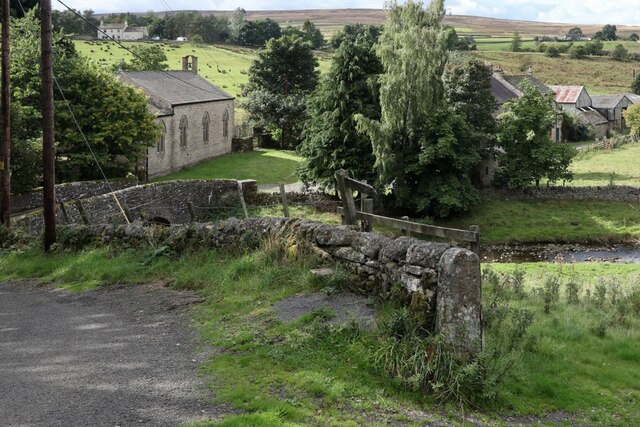
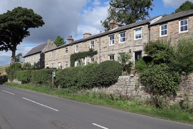
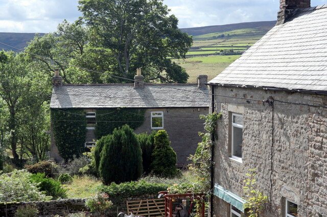
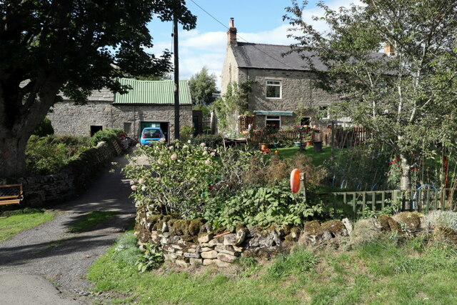
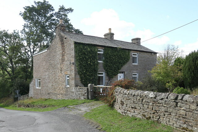
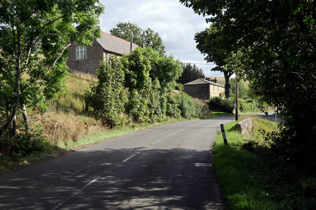
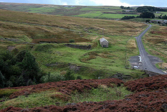
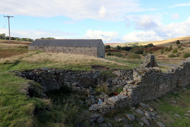
Coatenhill Plantation Images

Images are sourced within 2km of 54.826774/-2.2387397 or Grid Reference NY8448. Thanks to Geograph Open Source API. All images are credited.

Road crossing ford of River East Allen There's a mere trickle of water across the concrete of the ford near to Low Huntwell on this occasion but the water depth indicator to the right of the crossing suggests a depth of up to six feet might be possible: a frightening prospect!
Road crossing ford of River East Allen
There's a mere trickle of water across the concrete of the ford near to Low Huntwell on this occasion but the water depth indicator to the right of the crossing suggests a depth of up to six feet might be possible: a frightening prospect!
Coatenhill Reservoir Coatenhill Reservoir is one of a number constructed to supply water for power generation in the lead mines of East Allendale. It's in use now as a fishing lake.
Coatenhill Reservoir
Coatenhill Reservoir is one of a number constructed to supply water for power generation in the lead mines of East Allendale. It's in use now as a fishing lake.
Philipson's Fold Philipson's Fold is on moorland overlooking East Allendale and is probably not actually a sheepfold.
A sheepfold is a pen of some kind which can be used to confine animals. The structure here is in the form of a distorted 'H' shape and is probably more of a shelter about which sheep could gather for protection from weather coming from any direction.
Philipson's Fold
Philipson's Fold is on moorland overlooking East Allendale and is probably not actually a sheepfold. A sheepfold is a pen of some kind which can be used to confine animals. The structure here is in the form of a distorted 'H' shape and is probably more of a shelter about which sheep could gather for protection from weather coming from any direction.
Moorland below route of bridleway The heather and grass moorland is on a slope descending towards Swin Hope, a tributary valley of East Allendale; that main valley lies beyond the middle-distance ridge. The village of Allenheads is there, below the coniferous plantations.
Moorland below route of bridleway
The heather and grass moorland is on a slope descending towards Swin Hope, a tributary valley of East Allendale; that main valley lies beyond the middle-distance ridge. The village of Allenheads is there, below the coniferous plantations.
Road beside 'protected verge' An unusual notice beside the road: it tells that the verge is being 'positively managed' by Northumberland County Council to conserve wild plants. It gives no added information as to what measures are being taken or how the public should act as a result.
Road beside 'protected verge'
An unusual notice beside the road: it tells that the verge is being 'positively managed' by Northumberland County Council to conserve wild plants. It gives no added information as to what measures are being taken or how the public should act as a result.
Black Way heading north Black Way is a hill road on the west side of East Allendale. It's also the route used by the named walk, Isaac's Tea Trail which has joined it just behind the camera position.
Black Way heading north
Black Way is a hill road on the west side of East Allendale. It's also the route used by the named walk, Isaac's Tea Trail which has joined it just behind the camera position.
Location of Sipton Lead Mines The capped shaft of the Blackett Level at Sipton can be seen left, centre. This photo was taken as an attempt to reproduce an old photograph. The mine buildings were pulled down in 1950.

The small building in the field (150 metres South Of Sipton Terrace), just right of centre, was the mine Powder House or explosive Store.

Allen Valleys Local History Group: <span class="nowrap"><a title="http://www.allenvalleyslocalhistory.org.uk/photo/sipton-mine-0002-162/" rel="nofollow ugc noopener" href="http://www.allenvalleyslocalhistory.org.uk/photo/sipton-mine-0002-162/">Link</a><img style="margin-left:2px;" alt="External link" title="External link - shift click to open in new window" src="https://s1.geograph.org.uk/img/external.png" width="10" height="10"/></span> <span class="nowrap"><a title="https://web.archive.org/web/20220918142027/http://www.allenvalleyslocalhistory.org.uk/photo/sipton-mine-0002-162/" rel="nofollow ugc noopener" href="https://web.archive.org/web/20220918142027/http://www.allenvalleyslocalhistory.org.uk/photo/sipton-mine-0002-162/">Archive Link</a><img style="margin-left:2px;" alt="External link" title="External link - shift click to open in new window" src="https://s1.geograph.org.uk/img/external.png" width="10" height="10"/></span>
Location of Sipton Lead Mines
The capped shaft of the Blackett Level at Sipton can be seen left, centre. This photo was taken as an attempt to reproduce an old photograph. The mine buildings were pulled down in 1950. The small building in the field (150 metres South Of Sipton Terrace), just right of centre, was the mine Powder House or explosive Store. Allen Valleys Local History Group: LinkExternal link Archive LinkExternal link
Lowshield Close, Ellershope Bridge, Spartylea View of 'Spartylea Corner' c.1910 on Allen Valleys Local History Group website: <span class="nowrap"><a title="http://www.allenvalleyslocalhistory.org.uk/photo/spartylea-1910-0033-003/" rel="nofollow ugc noopener" href="http://www.allenvalleyslocalhistory.org.uk/photo/spartylea-1910-0033-003/">Link</a><img style="margin-left:2px;" alt="External link" title="External link - shift click to open in new window" src="https://s1.geograph.org.uk/img/external.png" width="10" height="10"/></span> <span class="nowrap"><a title="https://web.archive.org/web/20220918172320/http://www.allenvalleyslocalhistory.org.uk/photo/spartylea-1910-0033-003/" rel="nofollow ugc noopener" href="https://web.archive.org/web/20220918172320/http://www.allenvalleyslocalhistory.org.uk/photo/spartylea-1910-0033-003/">Archive Link</a><img style="margin-left:2px;" alt="External link" title="External link - shift click to open in new window" src="https://s1.geograph.org.uk/img/external.png" width="10" height="10"/></span>
Lowshield Close, Ellershope Bridge, Spartylea
View of 'Spartylea Corner' c.1910 on Allen Valleys Local History Group website: LinkExternal link Archive LinkExternal link
St Peter's Church & Corn Mill from east There is a similar view c.1905 on the website of the Allen Valleys Local History Group: <span class="nowrap"><a title="http://www.allenvalleyslocalhistory.org.uk/photo/allendale-1905-0031-052/" rel="nofollow ugc noopener" href="http://www.allenvalleyslocalhistory.org.uk/photo/allendale-1905-0031-052/">Link</a><img style="margin-left:2px;" alt="External link" title="External link - shift click to open in new window" src="https://s1.geograph.org.uk/img/external.png" width="10" height="10"/></span> <span class="nowrap"><a title="https://web.archive.org/web/20220918172001/http://www.allenvalleyslocalhistory.org.uk/photo/allendale-1905-0031-052/" rel="nofollow ugc noopener" href="https://web.archive.org/web/20220918172001/http://www.allenvalleyslocalhistory.org.uk/photo/allendale-1905-0031-052/">Archive Link</a><img style="margin-left:2px;" alt="External link" title="External link - shift click to open in new window" src="https://s1.geograph.org.uk/img/external.png" width="10" height="10"/></span>
St Peter's Church & Corn Mill from east
There is a similar view c.1905 on the website of the Allen Valleys Local History Group: LinkExternal link Archive LinkExternal link
Spartylea Terrace, Spartylea
Old Post Office, Spartylea There is another photo here <a href="https://www.geograph.org.uk/photo/7286475">NY8448 : Old Post Office, Spartylea</a>

The current Post Office is in the building on the right <a href="https://www.geograph.org.uk/photo/7286472">NY8549 : Post Office, Spartylea</a>.

There is an old postcard view of the Post Office and Sparty Lea here: <span class="nowrap"><a title="http://www.allenvalleyslocalhistory.org.uk/photo/spartylea-1910-0037-015/" rel="nofollow ugc noopener" href="http://www.allenvalleyslocalhistory.org.uk/photo/spartylea-1910-0037-015/">Link</a><img style="margin-left:2px;" alt="External link" title="External link - shift click to open in new window" src="https://s1.geograph.org.uk/img/external.png" width="10" height="10"/></span> <span class="nowrap"><a title="https://web.archive.org/web/20220918171534/http://www.allenvalleyslocalhistory.org.uk/photo/spartylea-1910-0037-015/" rel="nofollow ugc noopener" href="https://web.archive.org/web/20220918171534/http://www.allenvalleyslocalhistory.org.uk/photo/spartylea-1910-0037-015/">Archive Link</a><img style="margin-left:2px;" alt="External link" title="External link - shift click to open in new window" src="https://s1.geograph.org.uk/img/external.png" width="10" height="10"/></span>
Old Post Office, Spartylea
There is another photo here NY8448 : Old Post Office, Spartylea The current Post Office is in the building on the right NY8549 : Post Office, Spartylea. There is an old postcard view of the Post Office and Sparty Lea here: LinkExternal link Archive LinkExternal link
Post Office, Spartylea
Old Post Office, Spartylea
Road at Spartylea The old chapel is on the left <a href="https://www.geograph.org.uk/photo/6637472">NY8548 : Primitive Methodist Chapel, Spartylea</a> with the terrace further along the road <a href="https://www.geograph.org.uk/photo/7286457">NY8548 : Spartylea Terrace, Spartylea</a>.
Road at Spartylea
The old chapel is on the left NY8548 : Primitive Methodist Chapel, Spartylea with the terrace further along the road NY8548 : Spartylea Terrace, Spartylea.
Site of Allenheads Smelt Mill (Lead), Dirt Pot On the right side of the photo is the road which leads over the moors to Coalcleugh. The terraced houses known as Slag Hill can be seen in the distance on the right. The remains of Mill Dam, (now filled with reeds) can be seen just left of the existing building (possibly the smeltmill peat store). The other masonry structure is in the centre just below the reservoir. The course of the horizontal flue can be seen extending to the left, directly below the lefthand end of the Mill Dam.
Site of Allenheads Smelt Mill (Lead), Dirt Pot
On the right side of the photo is the road which leads over the moors to Coalcleugh. The terraced houses known as Slag Hill can be seen in the distance on the right. The remains of Mill Dam, (now filled with reeds) can be seen just left of the existing building (possibly the smeltmill peat store). The other masonry structure is in the centre just below the reservoir. The course of the horizontal flue can be seen extending to the left, directly below the lefthand end of the Mill Dam.
Buildings at site of Allenheads Lead Smelt Mill "Lead smelting mill built by the Blacketts in the early 18th century. By 1821 it had three ore hearths, one roasting furnace, and one slag hearth in operation. The mill closed in 1870. Surviving remains consist of a 3118m long flue, a row of deserted cottages and an overgrown reservoir. The mill was mainly for smelted ores for Allenheads and Coalcleugh mines, but was kept to working capacity by ores from Weardale mines. The mill closed in 1870. It had horizontal flues 3410 yards (3118m) long for carrying off the fumes."
Northumberland HER (7251): <span class="nowrap"><a title="https://archaeologydataservice.ac.uk/archsearch/record?titleId=961364" rel="nofollow ugc noopener" href="https://archaeologydataservice.ac.uk/archsearch/record?titleId=961364">Link</a><img style="margin-left:2px;" alt="External link" title="External link - shift click to open in new window" src="https://s1.geograph.org.uk/img/external.png" width="10" height="10"/></span>
Ordnance Survey Durham Sheet XV (Surveyed: 1858, Published: 1861): <span class="nowrap"><a title="https://maps.nls.uk/view/102341530" rel="nofollow ugc noopener" href="https://maps.nls.uk/view/102341530">Link</a><img style="margin-left:2px;" alt="External link" title="External link - shift click to open in new window" src="https://s1.geograph.org.uk/img/external.png" width="10" height="10"/></span>
OS 25 inch published 1897: <span class="nowrap"><a title="https://maps.nls.uk/geo/explore/side-by-side/#zoom=17.8&lat=54.81260&lon=-2.23440&layers=168&right=BingSat" rel="nofollow ugc noopener" href="https://maps.nls.uk/geo/explore/side-by-side/#zoom=17.8&lat=54.81260&lon=-2.23440&layers=168&right=BingSat">Link</a><img style="margin-left:2px;" alt="External link" title="External link - shift click to open in new window" src="https://s1.geograph.org.uk/img/external.png" width="10" height="10"/></span>

The large stone building (which remains in use) is shown in the same location on the first edition 6" OS and may retain parts of an original building of the smeltmill. The ruined stonework to its south is also on in the location of an older building although this is shown as a sheepwash on the 2nd edition 25" OS (Published: 1897) and in a photo (c.1967) from the Allen Valleys Local History Group: <span class="nowrap"><a title="http://www.allenvalleyslocalhistory.org.uk/photo/allenheads-1967-0013-003/" rel="nofollow ugc noopener" href="http://www.allenvalleyslocalhistory.org.uk/photo/allenheads-1967-0013-003/">Link</a><img style="margin-left:2px;" alt="External link" title="External link - shift click to open in new window" src="https://s1.geograph.org.uk/img/external.png" width="10" height="10"/></span> <span class="nowrap"><a title="https://web.archive.org/web/20220925115434/http://www.allenvalleyslocalhistory.org.uk/photo/allenheads-1967-0013-003/" rel="nofollow ugc noopener" href="https://web.archive.org/web/20220925115434/http://www.allenvalleyslocalhistory.org.uk/photo/allenheads-1967-0013-003/">Archive Link</a><img style="margin-left:2px;" alt="External link" title="External link - shift click to open in new window" src="https://s1.geograph.org.uk/img/external.png" width="10" height="10"/></span>

The smeltmill horizontal flue originally extended to the south-west to a location high up on Middlehope Moor.
Buildings at site of Allenheads Lead Smelt Mill
"Lead smelting mill built by the Blacketts in the early 18th century. By 1821 it had three ore hearths, one roasting furnace, and one slag hearth in operation. The mill closed in 1870. Surviving remains consist of a 3118m long flue, a row of deserted cottages and an overgrown reservoir. The mill was mainly for smelted ores for Allenheads and Coalcleugh mines, but was kept to working capacity by ores from Weardale mines. The mill closed in 1870. It had horizontal flues 3410 yards (3118m) long for carrying off the fumes." Northumberland HER (7251): LinkExternal link Ordnance Survey Durham Sheet XV (Surveyed: 1858, Published: 1861): LinkExternal link OS 25 inch published 1897: LinkExternal link The large stone building (which remains in use) is shown in the same location on the first edition 6" OS and may retain parts of an original building of the smeltmill. The ruined stonework to its south is also on in the location of an older building although this is shown as a sheepwash on the 2nd edition 25" OS (Published: 1897) and in a photo (c.1967) from the Allen Valleys Local History Group: LinkExternal link Archive LinkExternal link The smeltmill horizontal flue originally extended to the south-west to a location high up on Middlehope Moor.
Remains of flue near Allenheads Lead Smelt Mill "Lead smelting mill built by the Blacketts in the early 18th century. By 1821 it had three ore hearths, one roasting furnace, and one slag hearth in operation. The mill closed in 1870. Surviving remains consist of a 3118m long flue, a row of deserted cottages and an overgrown reservoir. The mill was mainly for smelted ores for Allenheads and Coalcleugh mines, but was kept to working capacity by ores from Weardale mines. The mill closed in 1870. It had horizontal flues 3410 yards (3118m) long for carrying off the fumes."
Northumberland HER (7251): <span class="nowrap"><a title="https://archaeologydataservice.ac.uk/archsearch/record?titleId=961364" rel="nofollow ugc noopener" href="https://archaeologydataservice.ac.uk/archsearch/record?titleId=961364">Link</a><img style="margin-left:2px;" alt="External link" title="External link - shift click to open in new window" src="https://s1.geograph.org.uk/img/external.png" width="10" height="10"/></span>
Ordnance Survey Durham Sheet XV (Surveyed: 1858, Published: 1861): <span class="nowrap"><a title="https://maps.nls.uk/view/102341530" rel="nofollow ugc noopener" href="https://maps.nls.uk/view/102341530">Link</a><img style="margin-left:2px;" alt="External link" title="External link - shift click to open in new window" src="https://s1.geograph.org.uk/img/external.png" width="10" height="10"/></span>
OS 25 inch published 1897: <span class="nowrap"><a title="https://maps.nls.uk/geo/explore/side-by-side/#zoom=17.8&lat=54.81260&lon=-2.23440&layers=168&right=BingSat" rel="nofollow ugc noopener" href="https://maps.nls.uk/geo/explore/side-by-side/#zoom=17.8&lat=54.81260&lon=-2.23440&layers=168&right=BingSat">Link</a><img style="margin-left:2px;" alt="External link" title="External link - shift click to open in new window" src="https://s1.geograph.org.uk/img/external.png" width="10" height="10"/></span>

The large stone building (which remains in use) is shown in the same location on the first edition 6" OS and may retain parts of an original building of the smeltmill. The ruined stonework to its south is also on in the location of an older building although this is shown as a sheepwash on the 2nd edition 25" OS (Published: 1897) and in a photo (c.1967) from the Allen Valleys Local History Group: <span class="nowrap"><a title="http://www.allenvalleyslocalhistory.org.uk/photo/allenheads-1967-0013-003/" rel="nofollow ugc noopener" href="http://www.allenvalleyslocalhistory.org.uk/photo/allenheads-1967-0013-003/">Link</a><img style="margin-left:2px;" alt="External link" title="External link - shift click to open in new window" src="https://s1.geograph.org.uk/img/external.png" width="10" height="10"/></span> <span class="nowrap"><a title="https://web.archive.org/web/20220925115434/http://www.allenvalleyslocalhistory.org.uk/photo/allenheads-1967-0013-003/" rel="nofollow ugc noopener" href="https://web.archive.org/web/20220925115434/http://www.allenvalleyslocalhistory.org.uk/photo/allenheads-1967-0013-003/">Archive Link</a><img style="margin-left:2px;" alt="External link" title="External link - shift click to open in new window" src="https://s1.geograph.org.uk/img/external.png" width="10" height="10"/></span>

The smeltmill horizontal flue originally extended to the south-west to a location high up on Middlehope Moor.
Remains of flue near Allenheads Lead Smelt Mill
"Lead smelting mill built by the Blacketts in the early 18th century. By 1821 it had three ore hearths, one roasting furnace, and one slag hearth in operation. The mill closed in 1870. Surviving remains consist of a 3118m long flue, a row of deserted cottages and an overgrown reservoir. The mill was mainly for smelted ores for Allenheads and Coalcleugh mines, but was kept to working capacity by ores from Weardale mines. The mill closed in 1870. It had horizontal flues 3410 yards (3118m) long for carrying off the fumes." Northumberland HER (7251): LinkExternal link Ordnance Survey Durham Sheet XV (Surveyed: 1858, Published: 1861): LinkExternal link OS 25 inch published 1897: LinkExternal link The large stone building (which remains in use) is shown in the same location on the first edition 6" OS and may retain parts of an original building of the smeltmill. The ruined stonework to its south is also on in the location of an older building although this is shown as a sheepwash on the 2nd edition 25" OS (Published: 1897) and in a photo (c.1967) from the Allen Valleys Local History Group: LinkExternal link Archive LinkExternal link The smeltmill horizontal flue originally extended to the south-west to a location high up on Middlehope Moor.
Site of Allenheads Lead Smelt Mill from west "Lead smelting mill built by the Blacketts in the early 18th century. By 1821 it had three ore hearths, one roasting furnace, and one slag hearth in operation. The mill closed in 1870. Surviving remains consist of a 3118m long flue, a row of deserted cottages and an overgrown reservoir. The mill was mainly for smelted ores for Allenheads and Coalcleugh mines, but was kept to working capacity by ores from Weardale mines. The mill closed in 1870. It had horizontal flues 3410 yards (3118m) long for carrying off the fumes."
Northumberland HER (7251): <span class="nowrap"><a title="https://archaeologydataservice.ac.uk/archsearch/record?titleId=961364" rel="nofollow ugc noopener" href="https://archaeologydataservice.ac.uk/archsearch/record?titleId=961364">Link</a><img style="margin-left:2px;" alt="External link" title="External link - shift click to open in new window" src="https://s1.geograph.org.uk/img/external.png" width="10" height="10"/></span>
Ordnance Survey Durham Sheet XV (Surveyed: 1858, Published: 1861): <span class="nowrap"><a title="https://maps.nls.uk/view/102341530" rel="nofollow ugc noopener" href="https://maps.nls.uk/view/102341530">Link</a><img style="margin-left:2px;" alt="External link" title="External link - shift click to open in new window" src="https://s1.geograph.org.uk/img/external.png" width="10" height="10"/></span>
OS 25 inch published 1897: <span class="nowrap"><a title="https://maps.nls.uk/geo/explore/side-by-side/#zoom=17.8&lat=54.81260&lon=-2.23440&layers=168&right=BingSat" rel="nofollow ugc noopener" href="https://maps.nls.uk/geo/explore/side-by-side/#zoom=17.8&lat=54.81260&lon=-2.23440&layers=168&right=BingSat">Link</a><img style="margin-left:2px;" alt="External link" title="External link - shift click to open in new window" src="https://s1.geograph.org.uk/img/external.png" width="10" height="10"/></span>

The large stone building (which remains in use) is shown in the same location on the first edition 6" OS and may retain parts of an original building of the smeltmill. The ruined stonework to its south is also on in the location of an older building although this is shown as a sheepwash on the 2nd edition 25" OS (Published: 1897) and in a photo (c.1967) from the Allen Valleys Local History Group: <span class="nowrap"><a title="http://www.allenvalleyslocalhistory.org.uk/photo/allenheads-1967-0013-003/" rel="nofollow ugc noopener" href="http://www.allenvalleyslocalhistory.org.uk/photo/allenheads-1967-0013-003/">Link</a><img style="margin-left:2px;" alt="External link" title="External link - shift click to open in new window" src="https://s1.geograph.org.uk/img/external.png" width="10" height="10"/></span> <span class="nowrap"><a title="https://web.archive.org/web/20220925115434/http://www.allenvalleyslocalhistory.org.uk/photo/allenheads-1967-0013-003/" rel="nofollow ugc noopener" href="https://web.archive.org/web/20220925115434/http://www.allenvalleyslocalhistory.org.uk/photo/allenheads-1967-0013-003/">Archive Link</a><img style="margin-left:2px;" alt="External link" title="External link - shift click to open in new window" src="https://s1.geograph.org.uk/img/external.png" width="10" height="10"/></span>

The smeltmill horizontal flue originally extended to the south-west to a location high up on Middlehope Moor.
Site of Allenheads Lead Smelt Mill from west
"Lead smelting mill built by the Blacketts in the early 18th century. By 1821 it had three ore hearths, one roasting furnace, and one slag hearth in operation. The mill closed in 1870. Surviving remains consist of a 3118m long flue, a row of deserted cottages and an overgrown reservoir. The mill was mainly for smelted ores for Allenheads and Coalcleugh mines, but was kept to working capacity by ores from Weardale mines. The mill closed in 1870. It had horizontal flues 3410 yards (3118m) long for carrying off the fumes." Northumberland HER (7251): LinkExternal link Ordnance Survey Durham Sheet XV (Surveyed: 1858, Published: 1861): LinkExternal link OS 25 inch published 1897: LinkExternal link The large stone building (which remains in use) is shown in the same location on the first edition 6" OS and may retain parts of an original building of the smeltmill. The ruined stonework to its south is also on in the location of an older building although this is shown as a sheepwash on the 2nd edition 25" OS (Published: 1897) and in a photo (c.1967) from the Allen Valleys Local History Group: LinkExternal link Archive LinkExternal link The smeltmill horizontal flue originally extended to the south-west to a location high up on Middlehope Moor.
Show me another place!

Coatenhill Plantation is located at Grid Ref: NY8448 (Lat: 54.826774, Lng: -2.2387397)

Unitary Authority: Northumberland

Police Authority: Northumbria

What 3 Words

///giggled.easily.middle. Near Alston, Cumbria

Related Wikis

Hexhamshire Moors

Hexhamshire Moors is a Site of Special Scientific Interest covering an extensive area of moorland in the Wear Valley district of north-west County Durham...

Allenheads

Allenheads is a former mining village in the Pennines to the north of Weardale in Northumberland, England. Lead extraction was the settlement's industry...

Allendale Moors

Allendale Moors is a Site of Special Scientific Interest (SSSI) in Northumberland, England. The upland moorland ridge site is listed for its heath, flush...

Sinderhope

Sinderhope is a hamlet situated on the east Allen Valley in south-west Northumberland. The population is spread over farms in an area approximately 25...

Acton, Northumberland

Acton is a small hamlet in Northumberland, north-east England, about 3 miles (5 km) south of Allendale Town. Acton is usually Anglo-Saxon Old English...

Carr Shield

Carrshield is a village in Northumberland, in England. It is situated in the Pennines approximately between Penrith and Hexham. It is a small village with...

Coalcleugh

Coalcleugh is a hamlet in Northumberland, England. It is situated in the Pennines between Penrith and Hexham. In the past it was well known as a lead mining...

Throssel Hole Buddhist Abbey

Throssel Hole Buddhist Abbey is a Buddhist monastery and retreat centre located in Northumberland, in northern England. The monastic order is equally for...

Nearby Amenities

Located within 500m of 54.826774,-2.2387397
Fell View
Place: locality
Lat/Long: 54.8244128/-2.2328568
St Peter's
Place: locality
Lat/Long: 54.8294629/-2.2392874
The data included in this document is from www.openstreetmap.org. The data is made available under ODbL.

Have you been to Coatenhill Plantation?

Leave your review of Coatenhill Plantation below (or comments, questions and feedback).