Langber Plantation

Wood, Forest in Yorkshire Craven

England

Langber Plantation

Langber Lane at track junction Looking NE up Langber Lane from track junction and at the edge of Wild Share woodland
Langber Lane at track junction Credit: Rob Bainbridge

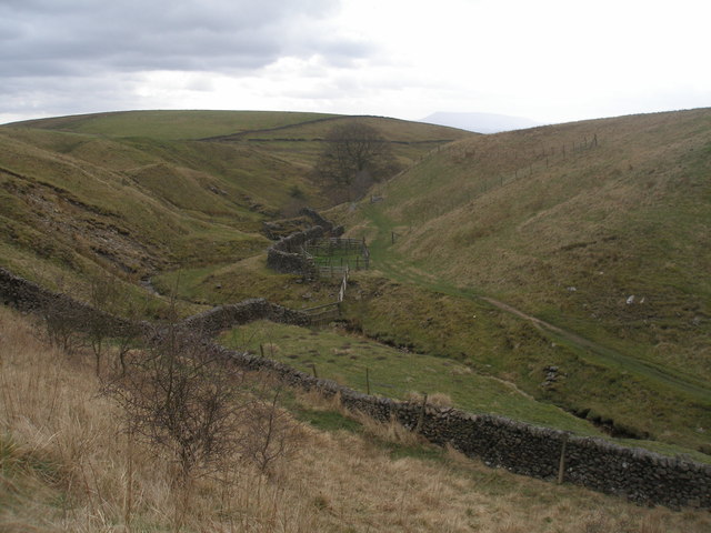
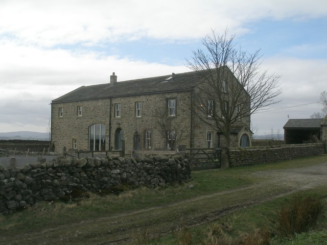
Langber Plantation is a picturesque woodland located in the Yorkshire Dales, England. Spanning across an area of approximately 500 acres, it is considered one of the largest and most diverse woodlands in the region. The plantation primarily consists of native broadleaf trees such as oak, beech, ash, and birch, creating a rich and vibrant ecosystem.

The woodland is carefully managed to preserve its natural beauty and biodiversity. The plantation is known for its dense canopy, which provides a habitat for a variety of bird species, including woodpeckers, owls, and warblers. It also serves as a sanctuary for numerous mammals, such as deer, foxes, and badgers.

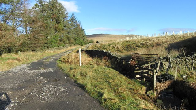
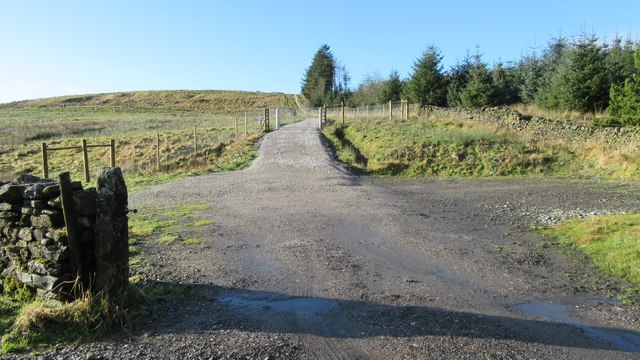
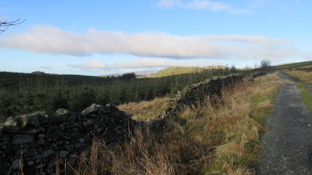
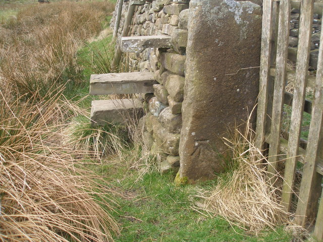
Visitors to Langber Plantation can explore an extensive network of walking trails that meander through the woodland. These trails offer stunning views of the surrounding countryside, with several viewpoints providing panoramic vistas of the Yorkshire Dales. The paths are well-maintained, making it accessible for both casual strollers and avid hikers.

Langber Plantation is a popular destination for nature enthusiasts, photographers, and families seeking a peaceful retreat. Its tranquil atmosphere and natural beauty make it an ideal spot for picnics, birdwatching, and nature photography. Additionally, the plantation offers a unique opportunity for educational activities, such as guided walks and workshops on woodland management and conservation.

Overall, Langber Plantation is a magnificent woodland that showcases the beauty of Yorkshire's natural landscapes. Its diverse flora and fauna, coupled with its well-maintained trails, make it a must-visit destination for anyone seeking a tranquil and immersive experience in nature.

If you have any feedback on the listing, please let us know in the comments section below.

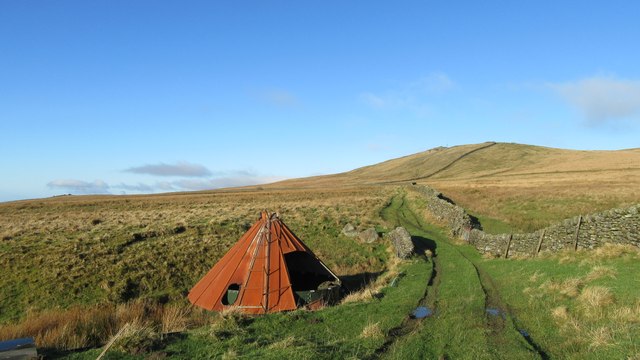
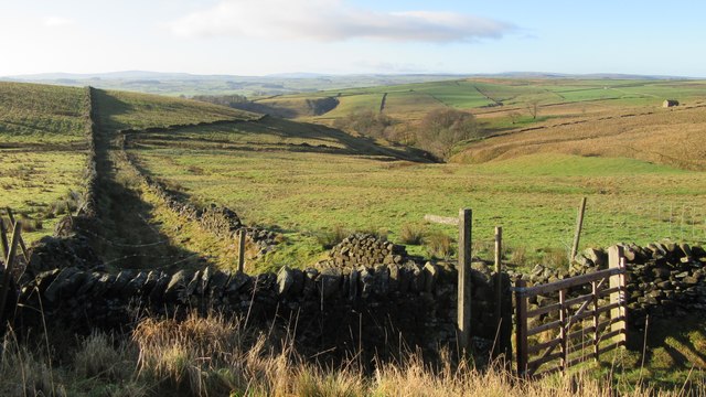
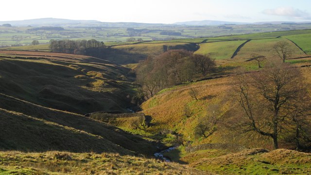
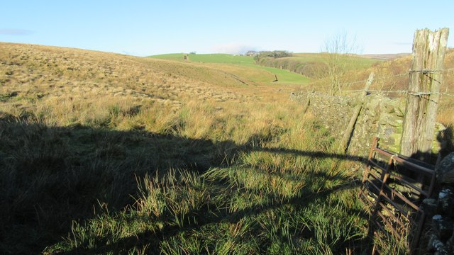
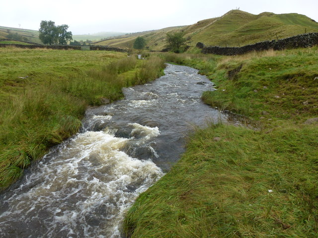
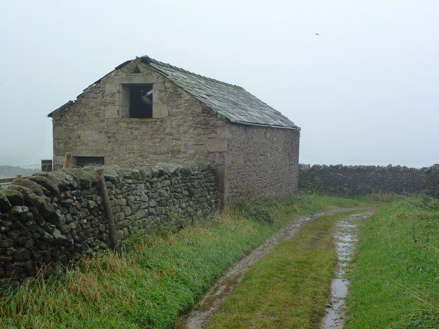
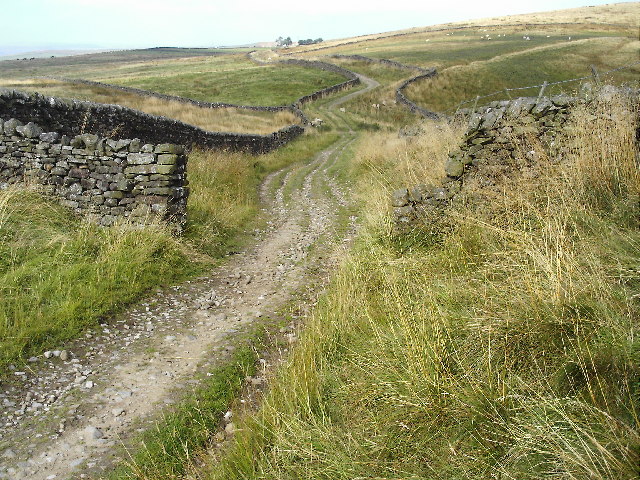
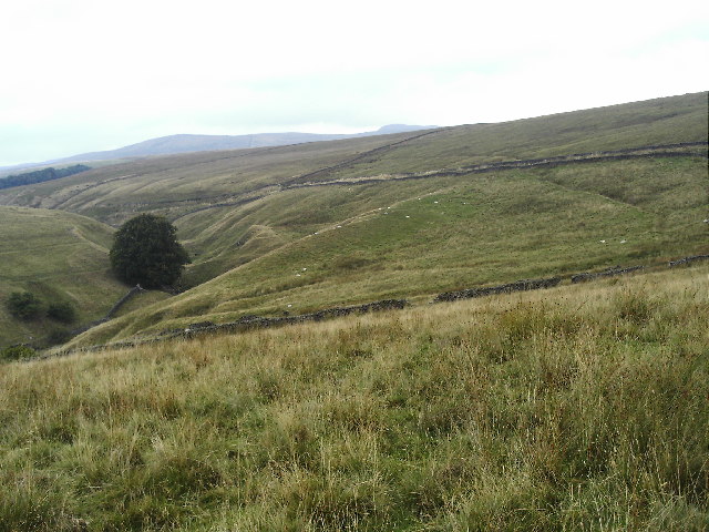
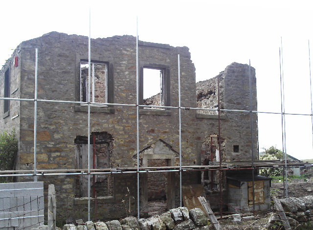
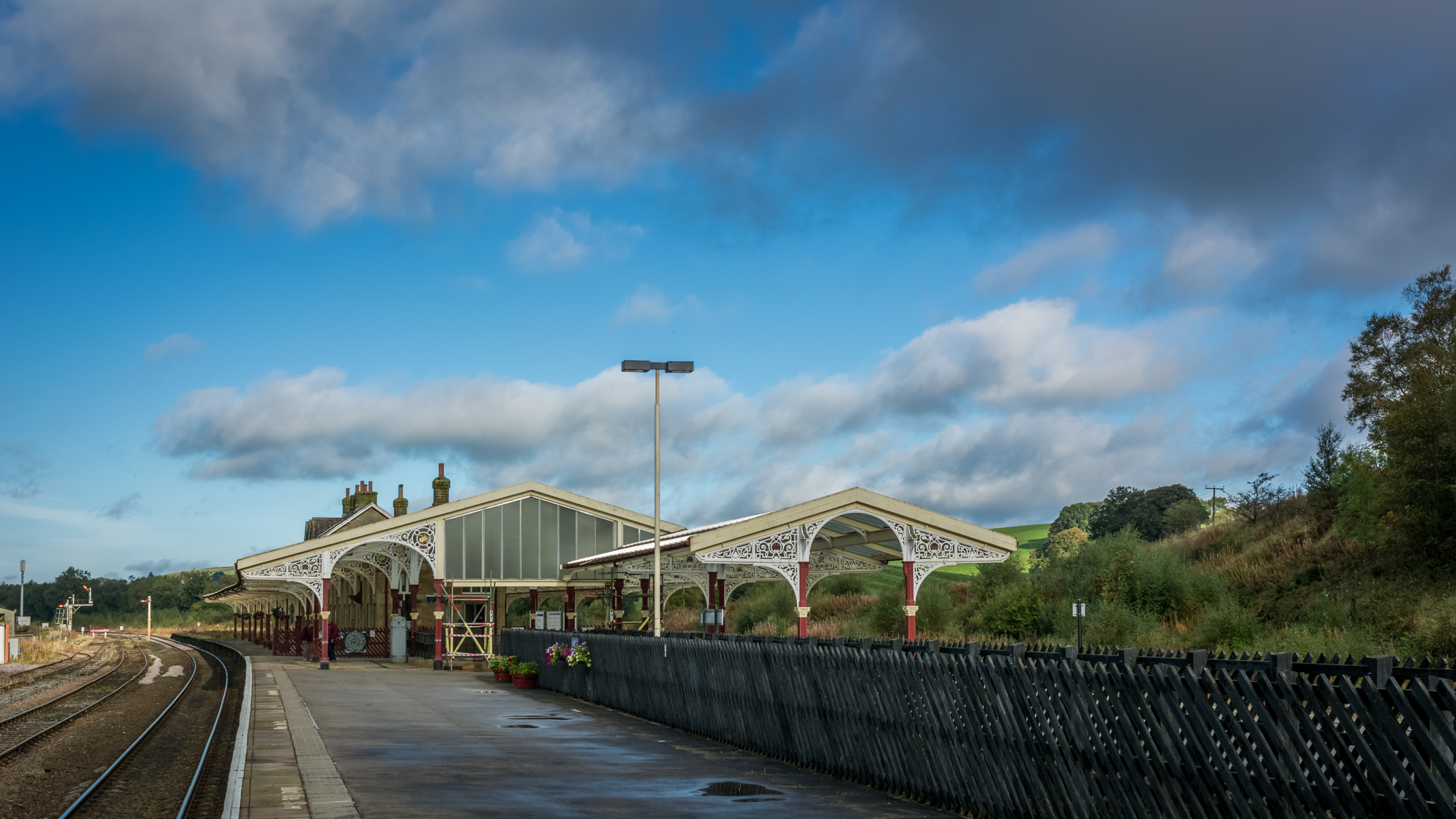
Langber Plantation Images

Images are sourced within 2km of 54.040894/-2.2342393 or Grid Reference SD8460. Thanks to Geograph Open Source API. All images are credited.

Langber Lane at track junction Looking NE up Langber Lane from track junction and at the edge of Wild Share woodland
Langber Lane at track junction
Looking NE up Langber Lane from track junction and at the edge of Wild Share woodland
Track and gateway to newly planted woodland Track and gateway to newly planted woodland adjacent to Wild Share woodland
Track and gateway to newly planted woodland
Track and gateway to newly planted woodland adjacent to Wild Share woodland
Langber Lane and Wild Share woodland Looking NW at Langber Lane and Wild Share woodland
Langber Lane and Wild Share woodland
Looking NW at Langber Lane and Wild Share woodland
Black Gill Beck from Black gill Road Looking SW down Black Gill Beck from Black gill Road
Black Gill Beck from Black gill Road
Looking SW down Black Gill Beck from Black gill Road
Abandoned water storage tank and cover Looking NNW along public footpath from High Langber to Ebor Gate, abandoned water storage tank and cover adjacent to stream
Abandoned water storage tank and cover
Looking NNW along public footpath from High Langber to Ebor Gate, abandoned water storage tank and cover adjacent to stream
Footpath leaving Langber Lane Looking at footpath junction and footpath leaving Langber Lane
Footpath leaving Langber Lane
Looking at footpath junction and footpath leaving Langber Lane
Brook Gill Beck away from Langber Lane Looking down Brook Gill Beck away from Langber Lane
Brook Gill Beck away from Langber Lane
Looking down Brook Gill Beck away from Langber Lane
Footpath leaving Langber Lane Looking North up footpath leaving Langber Lane
Footpath leaving Langber Lane
Looking North up footpath leaving Langber Lane
Bookil Gill Beck from Langber Lane
Bookilber Barn
Bookilber Barn
Benchmark on a gatepost south of Crake Moor Covert For a wider view of the location see <a href="https://www.geograph.org.uk/photo/2860447">SD8659 : Stile, gate and footbridge near Crake Moor Covert</a>
Benchmark on a gatepost south of Crake Moor Covert
For a wider view of the location see SD8659 : Stile, gate and footbridge near Crake Moor Covert
Stile, gate and footbridge near Crake Moor Covert There's a benchmark on the stone post between the stile and 'gate' - see <a href="https://www.geograph.org.uk/photo/2860443">SD8659 : Benchmark on a gatepost south of Crake Moor Covert</a>
Stile, gate and footbridge near Crake Moor Covert
There's a benchmark on the stone post between the stile and 'gate' - see SD8659 : Benchmark on a gatepost south of Crake Moor Covert
Ordnance Survey Cut Mark This mark can be found on a gatepost near Crake Moor Covert.
For more detail see : <span class="nowrap"><a title="http://www.bench-marks.org.uk/bm42097" rel="nofollow ugc noopener" href="http://www.bench-marks.org.uk/bm42097">Link</a><img style="margin-left:2px;" alt="External link" title="External link - shift click to open in new window" src="https://s1.geograph.org.uk/img/external.png" width="10" height="10"/></span>
Ordnance Survey Cut Mark
This mark can be found on a gatepost near Crake Moor Covert. For more detail see : LinkExternal link
Long Preston Beck after heavy rain
Barn on New Pasture Lane
Langber Lane This was formerly the main road to Lancaster from Skipton. Taken where the road crosses the south-west corner of this square.
Langber Lane
This was formerly the main road to Lancaster from Skipton. Taken where the road crosses the south-west corner of this square.
Bookil Gill Bookil Gill is on the left. The lane steadily climbing across the picture from left to right is Langber Lane, formerly part of the main York-Lancaster route.
Bookil Gill
Bookil Gill is on the left. The lane steadily climbing across the picture from left to right is Langber Lane, formerly part of the main York-Lancaster route.
Bookilber Barn Despite its name, this has obviously been a house and is now undergoing rebuilding, despite its position on Langber Lane, more than two miles from tarmac at either end.
Bookilber Barn
Despite its name, this has obviously been a house and is now undergoing rebuilding, despite its position on Langber Lane, more than two miles from tarmac at either end.
Show me another place!

Langber Plantation is located at Grid Ref: SD8460 (Lat: 54.040894, Lng: -2.2342393)

Division: West Riding

Administrative County: North Yorkshire

District: Craven

Police Authority: North Yorkshire

What 3 Words

///cluttered.windmill.tinkle. Near Settle, North Yorkshire

Nearby Locations

Langber Plantation

Related Wikis

Scaleber Force

Scaleber Force (also known as Scaleber Foss and Scaleber Waterfall), is a 40-foot (12 m) high waterfall on Stockdale Beck, later the Long Preston Beck...

Long Preston

Long Preston is a village and civil parish in the Craven district of North Yorkshire, England, in the Yorkshire Dales. It lies along the A65 road, and...

Long Preston railway station

Long Preston is a railway station on the Bentham Line, which runs between Leeds and Morecambe via Skipton. The station, situated 37+1⁄2 miles (60 km) north...

Settle Junction railway station

Settle Junction railway station was located near the town of Settle, North Yorkshire, England, immediately to south of the junction between the Midland...

Hellifield engine shed

Hellifield Engine Shed was a railway locomotive depot adjacent to Hellifield railway station in North Yorkshire, England. The depot opened in 1880 and...

Hellifield railway station

Hellifield is a railway station on the Bentham Line, which runs between Leeds and Morecambe via Skipton. The station, situated 36 miles 17 chains (58.3...

Hellifield

Hellifield is a village and civil parish in the Craven district of North Yorkshire, England (grid reference SD855565). Historically part of the West Riding...

Settle Town Hall

Settle Town Hall is a municipal building in Cheapside in Settle, North Yorkshire, England. The structure, which was the meeting place of Settle Rural District...

Nearby Amenities

Located within 500m of 54.040894,-2.2342393
Natural: peak
Source: OS 1:25k
Lat/Long: 54.0439501/-2.2398088
Natural: cave_entrance
Source: OS sheet 132, publ. 1851
Lat/Long: 54.0439858/-2.2355378
Natural: cave_entrance
Source: OS sheet 132, publ. 1851
Lat/Long: 54.0422405/-2.2343761
The data included in this document is from www.openstreetmap.org. The data is made available under ODbL.

Have you been to Langber Plantation?

Leave your review of Langber Plantation below (or comments, questions and feedback).