Wild Share

Wood, Forest in Yorkshire Craven

England

Wild Share

Bookil Gill Beck from Langber Lane
Bookil Gill Beck from Langber Lane Credit: John Slater

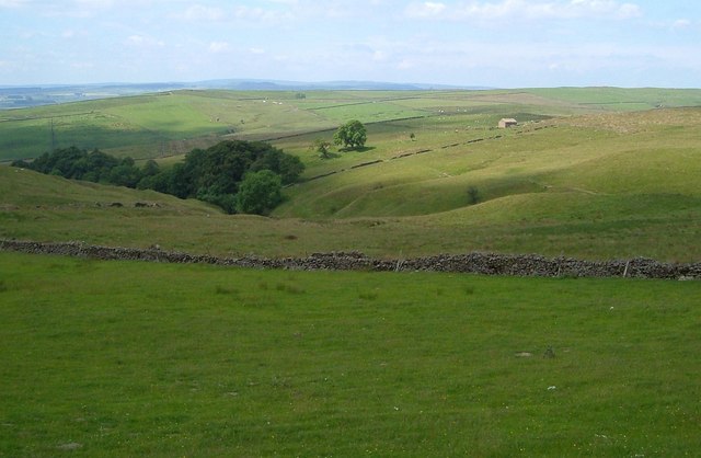
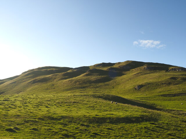
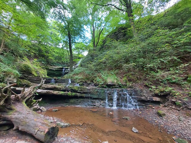
Wild Share, Yorkshire (Wood, Forest) is a picturesque and enchanting woodland area located in the county of Yorkshire, England. Spread across a vast expanse of land, this natural paradise is known for its rich biodiversity and stunning landscapes.

The woodland is home to a wide range of flora and fauna, making it a haven for nature lovers and wildlife enthusiasts. Towering ancient trees, including oak, beech, and ash, dominate the landscape, creating a dense and lush canopy that provides shelter and sustenance for countless species. The forest floor is carpeted with a diverse array of wildflowers, ferns, and mosses, adding to the enchanting atmosphere of the area.

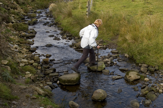
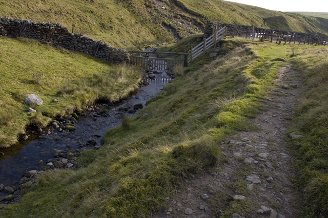
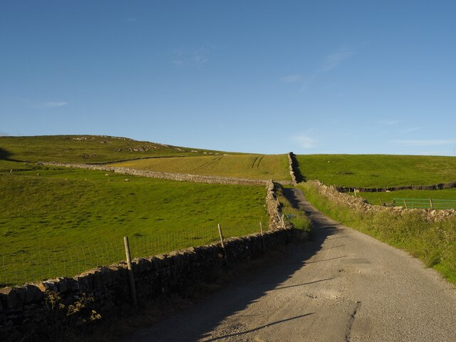
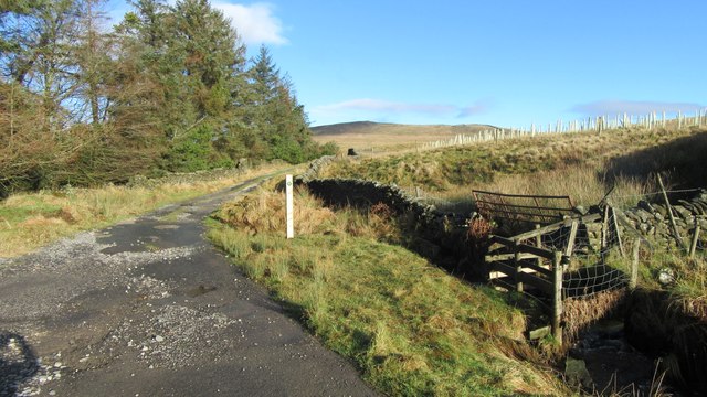
Wild Share offers a variety of recreational activities for visitors to enjoy. Hiking trails wind through the woods, allowing visitors to explore the natural beauty at their own pace. The forest is also a popular spot for birdwatching, with an abundance of bird species, including woodpeckers, owls, and various songbirds.

For those seeking a more immersive experience, camping facilities are available within the woodland, allowing visitors to spend the night under the starry skies, surrounded by the peaceful sounds of nature.

Wild Share, Yorkshire (Wood, Forest) is not only a haven for wildlife and outdoor enthusiasts, but also serves as an important ecological site for research and conservation. Efforts are made to preserve and protect the delicate ecosystem of the woodland, ensuring that future generations can continue to enjoy its natural beauty.

If you have any feedback on the listing, please let us know in the comments section below.
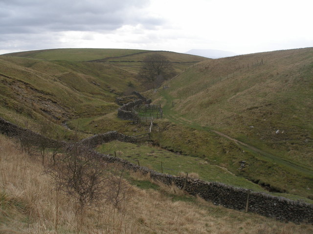
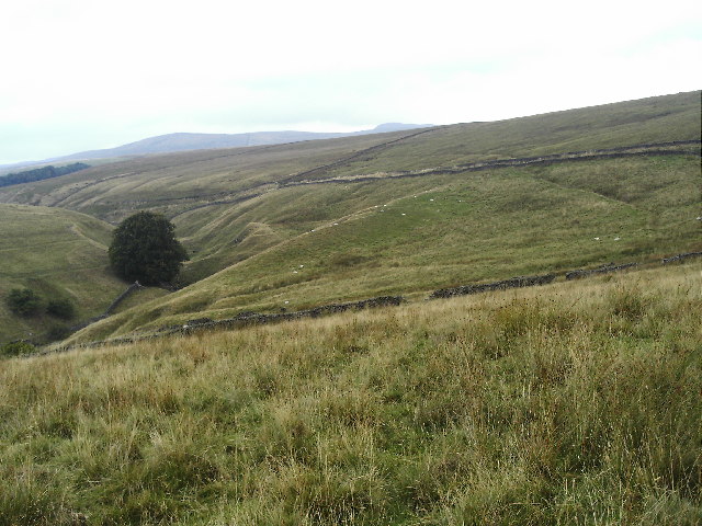
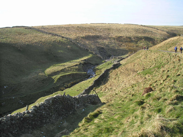
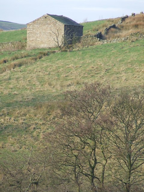
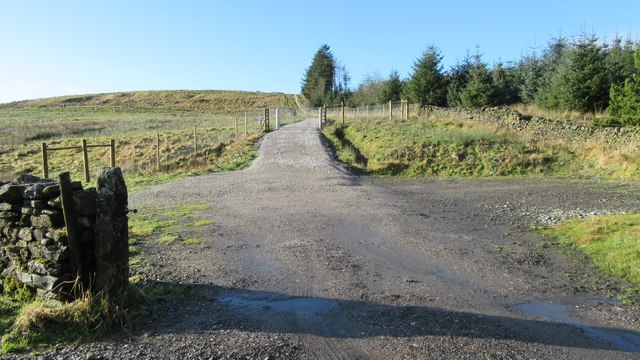
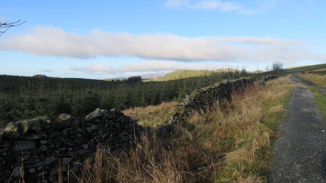
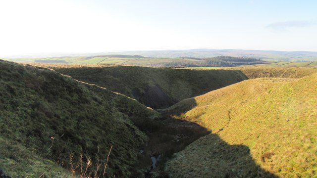
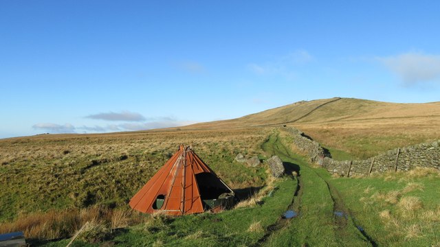
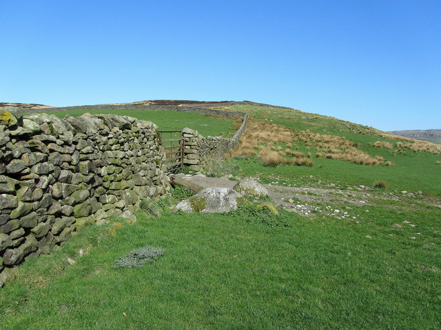
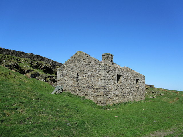
Wild Share Images

Images are sourced within 2km of 54.04984/-2.245928 or Grid Reference SD8361. Thanks to Geograph Open Source API. All images are credited.

Bookil Gill Beck from Langber Lane
Bookil Gill Bookil Gill is on the left. The lane steadily climbing across the picture from left to right is Langber Lane, formerly part of the main York-Lancaster route.
Bookil Gill
Bookil Gill is on the left. The lane steadily climbing across the picture from left to right is Langber Lane, formerly part of the main York-Lancaster route.
Bookil Gill Langber Lane, once part of the main York-Lancaster route, passes above it to the right.
Bookil Gill
Langber Lane, once part of the main York-Lancaster route, passes above it to the right.
Barn above Bookil Gill Beck
Across the Bookil Gill Beck A view from Langber Lane. The barn is shown in <a href="https://www.geograph.org.uk/photo/633152">SD8459 : Barn above Bookil Gill Beck</a>.
Across the Bookil Gill Beck
A view from Langber Lane. The barn is shown in SD8459 : Barn above Bookil Gill Beck.
Crossing Bookil Gill Beck
Track alongside Bookil Gill Beck
OS Bench Mark OS rivet bench mark from the 20th century levelling, on boulder on SE side of Stockdale Lane. 319.69 m above datum. This BM is of later date than the others along Stockdale Lane, but it doesn't look recent, or it got missed off the maps for some reason. It was completely covered by moss.
OS Bench Mark
OS rivet bench mark from the 20th century levelling, on boulder on SE side of Stockdale Lane. 319.69 m above datum. This BM is of later date than the others along Stockdale Lane, but it doesn't look recent, or it got missed off the maps for some reason. It was completely covered by moss.
Lumpy Hills near Settle Taken in the low evening sun.
Lumpy Hills near Settle
Taken in the low evening sun.
Stockdale Lane in the Evening
Scaleber Force Waterfall
Langber Lane at track junction Looking NE up Langber Lane from track junction and at the edge of Wild Share woodland
Langber Lane at track junction
Looking NE up Langber Lane from track junction and at the edge of Wild Share woodland
Track and gateway to newly planted woodland Track and gateway to newly planted woodland adjacent to Wild Share woodland
Track and gateway to newly planted woodland
Track and gateway to newly planted woodland adjacent to Wild Share woodland
Langber Lane and Wild Share woodland Looking NW at Langber Lane and Wild Share woodland
Langber Lane and Wild Share woodland
Looking NW at Langber Lane and Wild Share woodland
Black Gill Beck from Black gill Road Looking SW down Black Gill Beck from Black gill Road
Black Gill Beck from Black gill Road
Looking SW down Black Gill Beck from Black gill Road
Abandoned water storage tank and cover Looking NNW along public footpath from High Langber to Ebor Gate, abandoned water storage tank and cover adjacent to stream
Abandoned water storage tank and cover
Looking NNW along public footpath from High Langber to Ebor Gate, abandoned water storage tank and cover adjacent to stream
Wall and Pasture to the East of Hunter Bark An area of upland pasture and dry stone walls between Long Preston and Settle. The small hill beyond the wall conceals a series of disused quarries.
Wall and Pasture to the East of Hunter Bark
An area of upland pasture and dry stone walls between Long Preston and Settle. The small hill beyond the wall conceals a series of disused quarries.
Disused Quarry Building near Hunter Bark The structure looks in remarkably good condition, with just the roof having been removed.
Disused Quarry Building near Hunter Bark
The structure looks in remarkably good condition, with just the roof having been removed.
Show me another place!

Wild Share is located at Grid Ref: SD8361 (Lat: 54.04984, Lng: -2.245928)

Division: West Riding

Administrative County: North Yorkshire

District: Craven

Police Authority: North Yorkshire

What 3 Words

///slower.human.zoos. Near Settle, North Yorkshire

Nearby Locations

Wild Share

Related Wikis

Scaleber Force

Scaleber Force (also known as Scaleber Foss and Scaleber Waterfall), is a 40-foot (12 m) high waterfall on Stockdale Beck, later the Long Preston Beck...

Settle Junction railway station

Settle Junction railway station was located near the town of Settle, North Yorkshire, England, immediately to south of the junction between the Midland...

Settle Town Hall

Settle Town Hall is a municipal building in Cheapside in Settle, North Yorkshire, England. The structure, which was the meeting place of Settle Rural District...

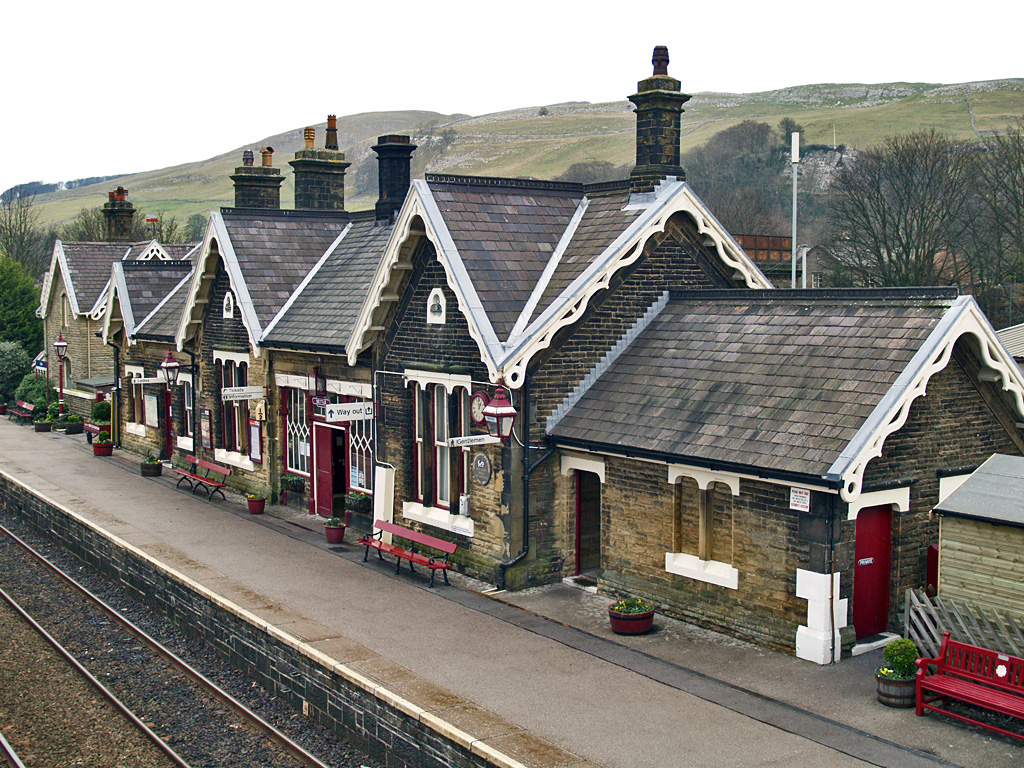
Settle railway station

Settle is a railway station on the Settle and Carlisle Line, which runs between Carlisle and Leeds via Settle. The station, situated 41 miles 37 chains...

Nearby Amenities

Located within 500m of 54.04984,-2.245928
The data included in this document is from www.openstreetmap.org. The data is made available under ODbL.

Have you been to Wild Share?

Leave your review of Wild Share below (or comments, questions and feedback).