Tump Covert

Wood, Forest in Gloucestershire Cotswold

England

Tump Covert

The A4135 approaching Beverston Approaching the village of Beverston from the west the A4135 passes between this avenue of trees.
The A4135 approaching Beverston Credit: Philip Halling

Tump Covert is a quaint village located in Gloucestershire, England. Nestled amidst a picturesque woodland area, it is known for its stunning natural beauty and tranquil atmosphere. The village is situated within the Forest of Dean, a renowned forest region in the county.

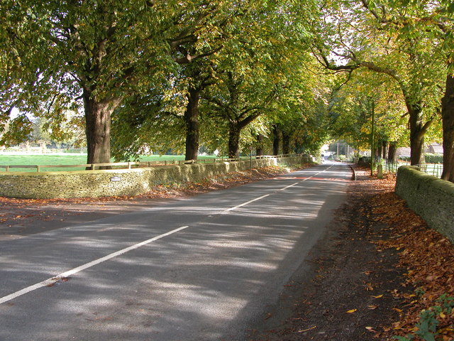
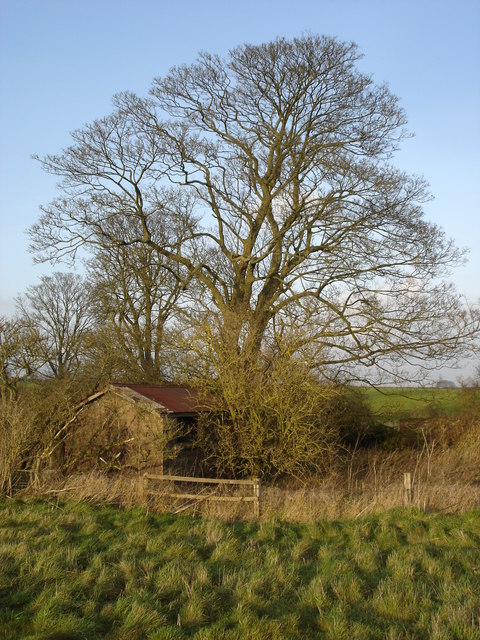
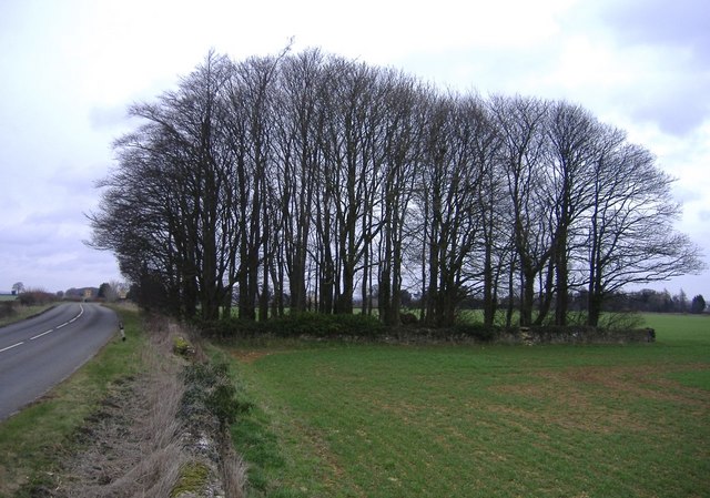
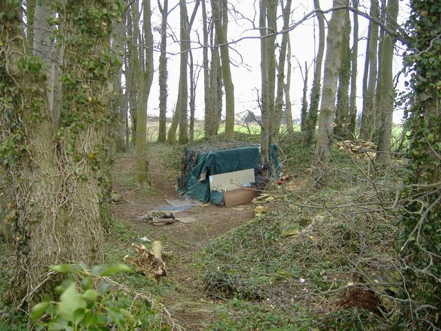
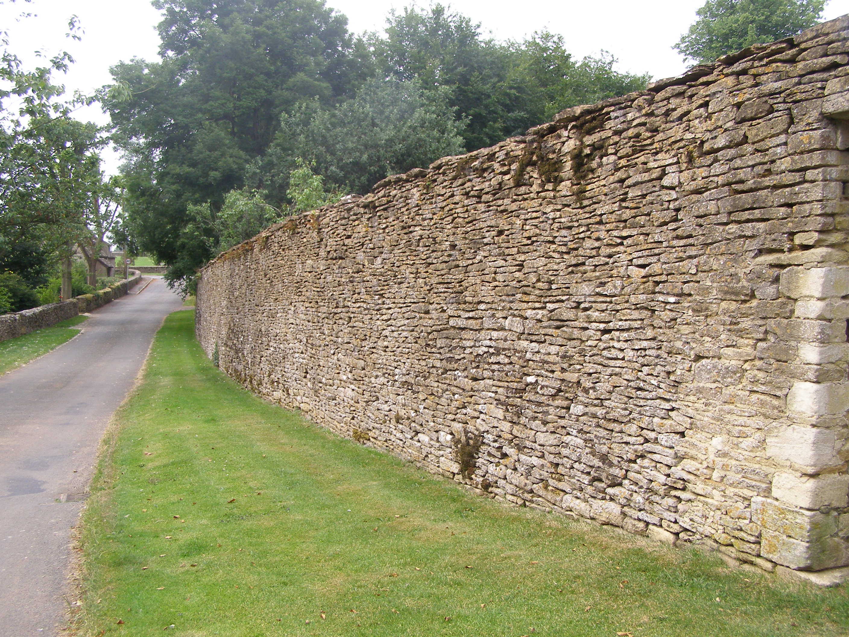
The main feature of Tump Covert is its dense woodland, which covers a vast area surrounding the village. The forest is home to a diverse range of flora and fauna, making it an ideal spot for nature enthusiasts and wildlife lovers. The lush greenery and peaceful ambience create a serene environment for residents and visitors alike.

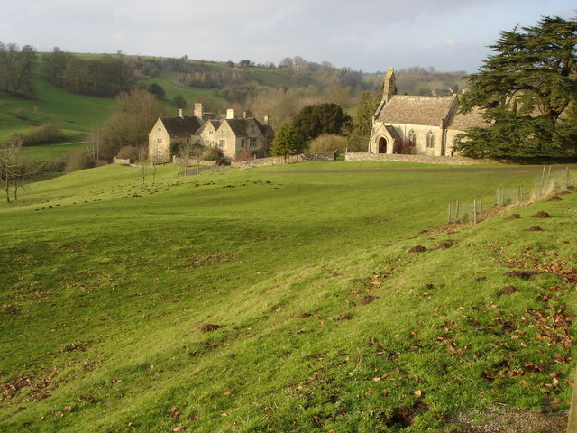
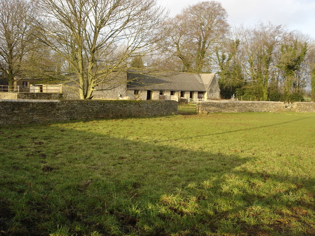
The village itself is small and has a close-knit community. It comprises a cluster of charming cottages that exude a rustic charm. The local population is friendly and welcoming, adding to the village's warm and inviting atmosphere.

Tump Covert offers several recreational activities for outdoor enthusiasts. There are numerous walking and hiking trails that allow visitors to explore the forest and enjoy its natural treasures. The village is also a popular destination for birdwatching, with various species of birds being spotted in the area.

Despite its natural charm, Tump Covert is well-connected to nearby towns and cities. The village has good transport links, making it easily accessible for both residents and tourists. It is notable for its proximity to Gloucester, a historic city known for its beautiful architecture and rich cultural heritage.

In summary, Tump Covert is a picturesque village situated in the heart of Gloucestershire's forest region. With its stunning woodland, friendly community, and abundance of outdoor activities, it is a haven for nature lovers and a delightful destination for anyone seeking a peaceful retreat.

If you have any feedback on the listing, please let us know in the comments section below.
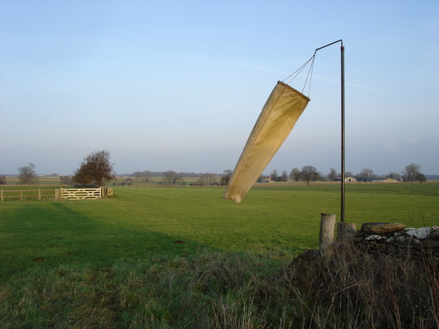
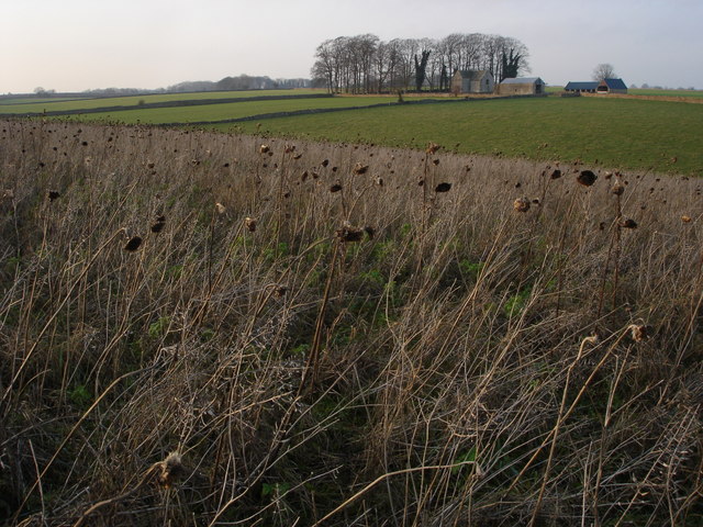
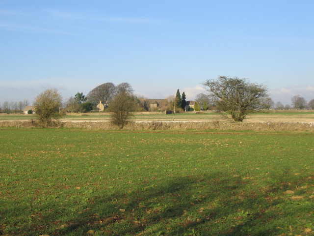
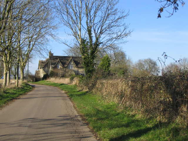
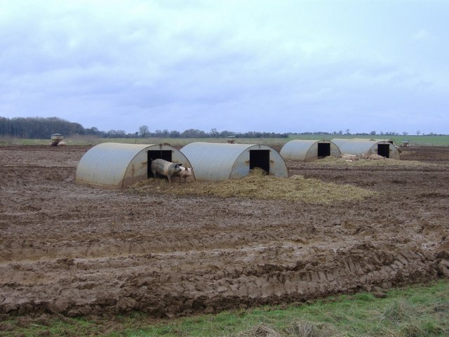
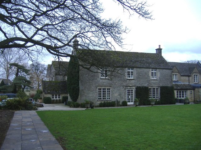
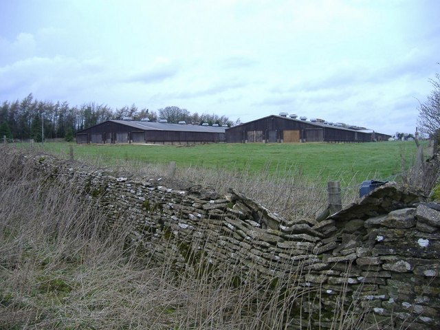
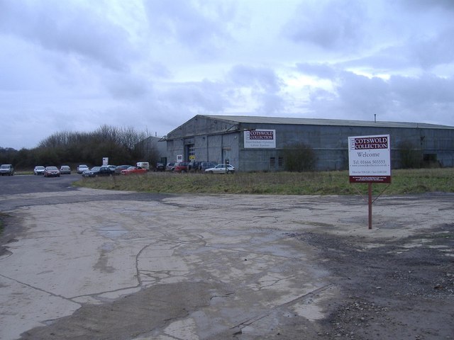
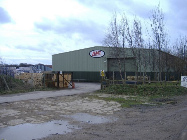
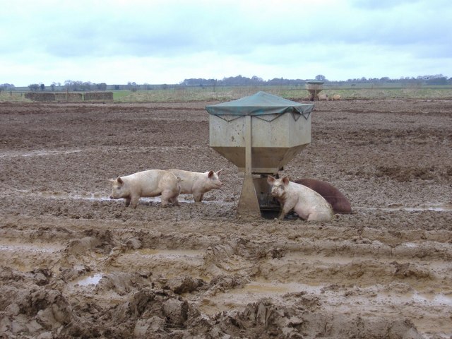
Tump Covert Images

Images are sourced within 2km of 51.63973/-2.2327624 or Grid Reference ST8393. Thanks to Geograph Open Source API. All images are credited.

The A4135 approaching Beverston Approaching the village of Beverston from the west the A4135 passes between this avenue of trees.
The A4135 approaching Beverston
Approaching the village of Beverston from the west the A4135 passes between this avenue of trees.
Lasborough church and manor The small church is dedicated to St Mary the Virgin and the parish is Westonbirt with Lasborough. The church was rebuilt in 1861-2, the manor house in the background is the surviving south wing of a larger house much of which was demolished in the 19th century.
Lasborough church and manor
The small church is dedicated to St Mary the Virgin and the parish is Westonbirt with Lasborough. The church was rebuilt in 1861-2, the manor house in the background is the surviving south wing of a larger house much of which was demolished in the 19th century.
Lasborough Manor and St Mary's Church Lasborough Church is dedicated to St Mary and was rebuilt in 1861-2 by Lewis Vulliamy for RS Holford of nearby Westonbirt. Lasborough Manor, below the church is the south wing of a larger manor house built in the very early 17th century for Sir Thomas Estcourt. The main manor house and north wing were demolished in the 19th century.

This picture was used in a publication by the BBC as it is a location used by the BBC in the production of the television programme 'Lark Rise to Candleford'.
Lasborough Manor and St Mary's Church
Lasborough Church is dedicated to St Mary and was rebuilt in 1861-2 by Lewis Vulliamy for RS Holford of nearby Westonbirt. Lasborough Manor, below the church is the south wing of a larger manor house built in the very early 17th century for Sir Thomas Estcourt. The main manor house and north wing were demolished in the 19th century. This picture was used in a publication by the BBC as it is a location used by the BBC in the production of the television programme 'Lark Rise to Candleford'.
Stables at Lodge Farm, Lasborough
Old shed, Goss Covert At the south-east end of Goss Covert there are the remains of old buildings and a farm yard.
Old shed, Goss Covert
At the south-east end of Goss Covert there are the remains of old buildings and a farm yard.
Airstrip on Bowldown Farm To the south-west of Bowldown Farm is an airstrip. A footpath runs parallel with the airstrip albeit on the other side of a dry stone wall. While walking here a light aircraft landed.
Airstrip on Bowldown Farm
To the south-west of Bowldown Farm is an airstrip. A footpath runs parallel with the airstrip albeit on the other side of a dry stone wall. While walking here a light aircraft landed.
Slait Barn, Leighterton Slait Barn viewed from a field of dead sunflowers to the south.
Slait Barn, Leighterton
Slait Barn viewed from a field of dead sunflowers to the south.
Nesley Farm A view looking to the north across farmland towards Nesley Farm.
Nesley Farm
A view looking to the north across farmland towards Nesley Farm.
Approaching Nesley Farm. A view looking to the northwest along the lane from Hookshouses , towards the buildings at the entrance to Nesley Farm.
Approaching Nesley Farm.
A view looking to the northwest along the lane from Hookshouses , towards the buildings at the entrance to Nesley Farm.
Pig farm Always good to see pigs, free to roam and forage.
Pig farm
Always good to see pigs, free to roam and forage.
Calcot Manor hotel An extensive range of old and new farm buildings, has been converted to a country hotel.
Calcot Manor hotel
An extensive range of old and new farm buildings, has been converted to a country hotel.
Calcot poultry farm A battery farm, north of the A4135, between Tetbury and Dursley.
Calcot poultry farm
A battery farm, north of the A4135, between Tetbury and Dursley.
The Cotswold Collection Pine furniture in an old aircraft hangar.
The Cotswold Collection
Pine furniture in an old aircraft hangar.
HMI warehouse, Babdown airfield HMI is the UK distributor for Isuzu and Farymann diesel engines.
HMI warehouse, Babdown airfield
HMI is the UK distributor for Isuzu and Farymann diesel engines.
Pig feeder On Babdown airfield.
Pig feeder
On Babdown airfield.
Sale now on The Cotswold collection is located about half a mile away, in an old hangar, on Babdown airfield.
Sale now on
The Cotswold collection is located about half a mile away, in an old hangar, on Babdown airfield.
Calcot copse An isolated plantation, near the A46.
Calcot copse
An isolated plantation, near the A46.
Hideaway Discovered inside Calcot copse, near the A46. Pots and pans are hung neatly from the tree at the hut entrance.
Hideaway
Discovered inside Calcot copse, near the A46. Pots and pans are hung neatly from the tree at the hut entrance.
Show me another place!

Tump Covert is located at Grid Ref: ST8393 (Lat: 51.63973, Lng: -2.2327624)

Administrative County: Gloucestershire

District: Cotswold

Police Authority: Gloucestershire

What 3 Words

///brisk.plausible.deeds. Near Tetbury, Gloucestershire

Nearby Locations

Tump Covert

Related Wikis

RAF Babdown Farm

Royal Air Force Babdown Farm or more simply RAF Babdown Farm is a former Royal Air Force relief landing ground located 2.9 miles (4.7 km) west of Tetbury...

Calcot Manor

Calcot Manor is a historic building in Calcot, three and a half miles west of Tetbury on A 4135 in Gloucestershire, England, near the junction of roads...

Lasborough

Lasborough is a settlement in Gloucestershire, England, part of the Westonbirt with Lasborough civil parish. Lasborough lies to the west of the A46, about...

Lasborough Park

Lasborough Park (or Lasborough House) is a Grade II listed country house in Newington Bagpath/Lasborough, Tetbury, Gloucestershire, England. The estate...

Beverston

Beverston is a village and civil parish in the Cotswold district of Gloucestershire, England. According to the 2001 census it had a population of 132,...

Beverston Castle

Beverston Castle, also known as Beverstone Castle or Tetbury Castle, was constructed as a medieval stone fortress in the village of Beverston, Gloucestershire...

St Mary's Church, Beverston

The Church of Saint Mary the Virgin is the parish church of Beverston, Gloucestershire, England, and a Grade II* listed building. The church is of Norman...

Boxwell SSSI

Boxwell SSSI (grid reference ST816928) is a 5.31-hectare (13.1-acre) biological Site of Special Scientific Interest in Gloucestershire, notified in 1954...

Nearby Amenities

Located within 500m of 51.63973,-2.2327624
Sport: rifle_range
Lat/Long: 51.6424667/-2.2343898
The data included in this document is from www.openstreetmap.org. The data is made available under ODbL.

Have you been to Tump Covert?

Leave your review of Tump Covert below (or comments, questions and feedback).