Creech Bottom

Settlement in Dorset

England

Creech Bottom

New Road A finger post indicates the route of the Purbeck Way.
New Road Credit: Trevor Harris

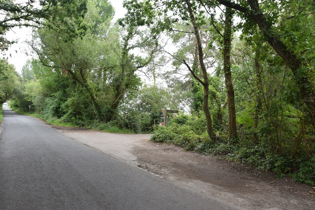
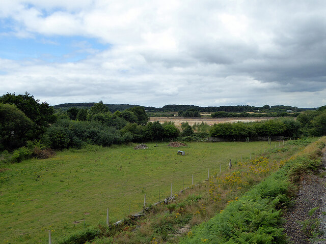
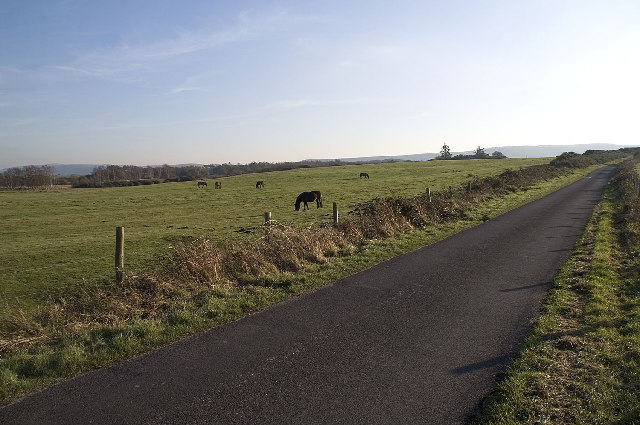
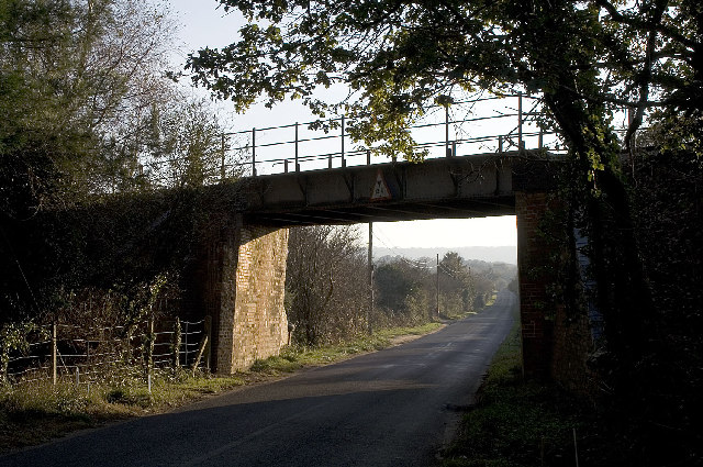
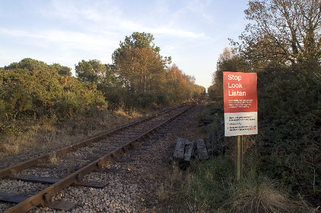
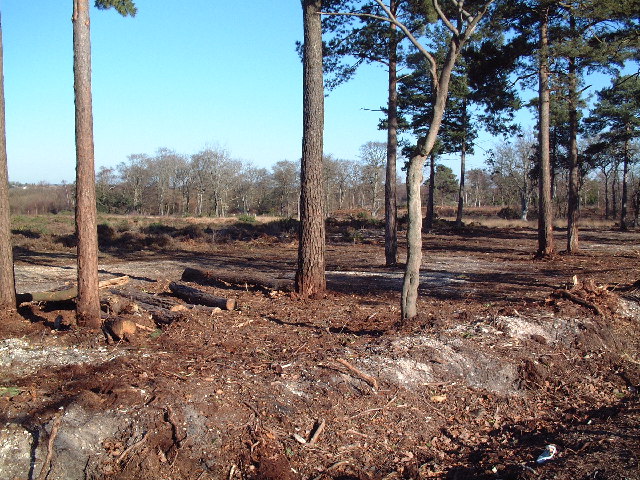
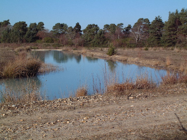
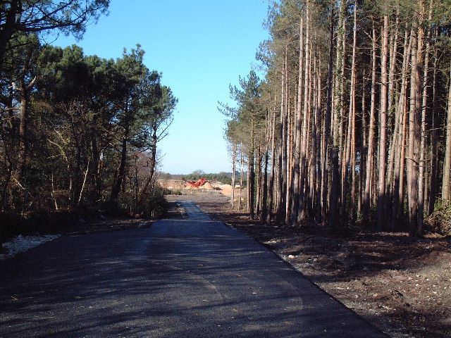
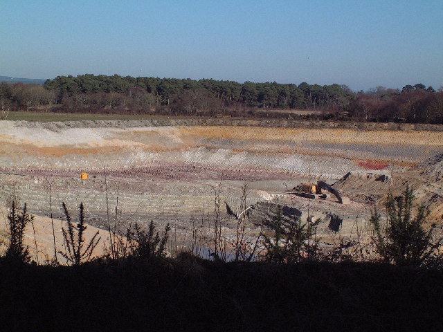
Creech Bottom is a small rural hamlet situated in the county of Dorset, England. Located just a few miles away from the market town of Wareham, it is nestled in the picturesque countryside of the Purbeck Hills. The hamlet is surrounded by rolling green fields, meandering streams, and dense woodlands, providing a tranquil and idyllic setting.

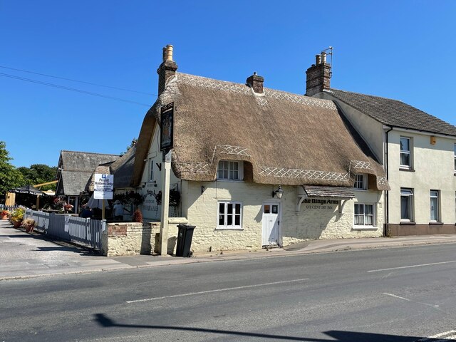
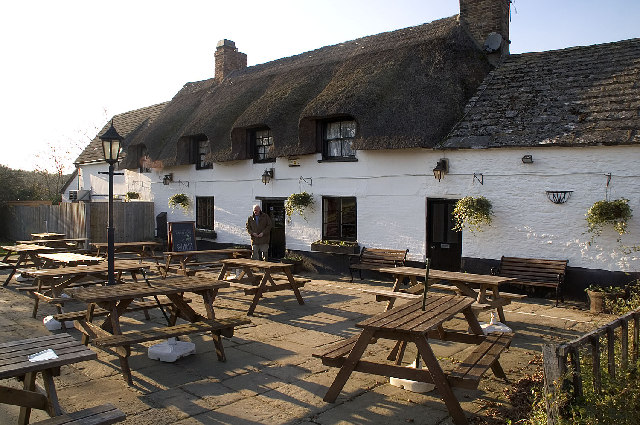
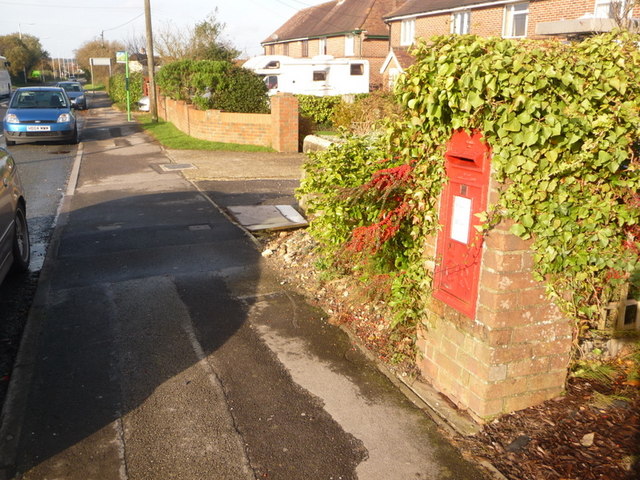
With a population of around 200 residents, Creech Bottom is known for its close-knit community and friendly atmosphere. The area primarily consists of traditional stone cottages and farmhouses, giving it a quaint and charming character. The hamlet's architecture reflects its historical roots, with some buildings dating back several centuries.

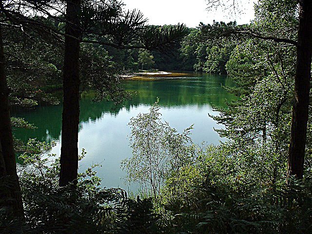
Nature lovers are drawn to Creech Bottom for its abundant wildlife and natural beauty. The nearby Creech Woods offer numerous walking trails, where visitors can explore the ancient woodlands and enjoy stunning views of the surrounding countryside. The area is also home to a diverse range of bird species, making it a popular spot for birdwatching enthusiasts.

Although Creech Bottom is a peaceful retreat, it benefits from its proximity to Wareham, which provides essential amenities such as shops, schools, and healthcare facilities. Additionally, the hamlet enjoys good transport links, with regular bus services connecting it to neighboring towns and villages.

In summary, Creech Bottom is a charming and rural hamlet in Dorset, renowned for its natural beauty, close-knit community, and historic architecture. It offers a peaceful and picturesque escape for those seeking a tranquil countryside lifestyle.

If you have any feedback on the listing, please let us know in the comments section below.

Creech Bottom Images

Images are sourced within 2km of 50.660435/-2.1120968 or Grid Reference SY9284. Thanks to Geograph Open Source API. All images are credited.

New Road A finger post indicates the route of the Purbeck Way.
New Road
A finger post indicates the route of the Purbeck Way.
The Kings Arms Pub and restaurant in Stoborough  built in the 16th century
The Kings Arms
Pub and restaurant in Stoborough built in the 16th century
Halfway Inn Public house and restaurant on the A531. Located approximately halfway between Wareham and Corfe Castle.
Halfway Inn
Public house and restaurant on the A531. Located approximately halfway between Wareham and Corfe Castle.
Pasture beside the railway Looking towards Stoborough Heath, viewed from a Swanage to Wareham train service.
Pasture beside the railway
Looking towards Stoborough Heath, viewed from a Swanage to Wareham train service.
Old Milestone by the A351, south of Stoborough Green Carved stone post by the A351, in parish of ARNE (PURBECK District), by bus stop and path to Blue Pool, opposite sign 'RVP No 5' at entrance to Hartland Nature reserve, on West side of road. Dorset 2 (limestone), erected by the Wareham (North, South & West Branches) turnpike trust in the 19th century.

Inscription reads:-
II
MILES FROM
WAREHAM
Carved benchmark bottom centre of front face. 

Grade II Listed. List Entry Number:1120342 <span class="nowrap"><a title="https://historicengland.org.uk/listing/the-list/list-entry/1120342" rel="nofollow ugc noopener" href="https://historicengland.org.uk/listing/the-list/list-entry/1120342">Link</a><img style="margin-left:2px;" alt="External link" title="External link - shift click to open in new window" src="https://s1.geograph.org.uk/img/external.png" width="10" height="10"/></span>

Milestone Society National ID: DO_WASW02
Old Milestone by the A351, south of Stoborough Green
Carved stone post by the A351, in parish of ARNE (PURBECK District), by bus stop and path to Blue Pool, opposite sign 'RVP No 5' at entrance to Hartland Nature reserve, on West side of road. Dorset 2 (limestone), erected by the Wareham (North, South & West Branches) turnpike trust in the 19th century. Inscription reads:- II MILES FROM WAREHAM Carved benchmark bottom centre of front face. Grade II Listed. List Entry Number:1120342 LinkExternal link Milestone Society National ID: DO_WASW02
The Blue Pool, Furzebrook From the early 17th century the Blue Pool at Furzebrook was dug for clay to make high quality pottery and clay pipes. The colloidal clay particles in the water disperse light in such a way as to give the pool a greenish-blue colour. In 1985 it was designated a Site of Special Scientific Interest (SSSI) and many rare species may be found in the locality. The pool itself supports no life forms whatsoever.
<span class="nowrap"><a title="http://blue.pool.users.btopenworld.com/" rel="nofollow ugc noopener" href="http://blue.pool.users.btopenworld.com/">Link</a><img style="margin-left:2px;" alt="External link" title="External link - shift click to open in new window" src="https://s1.geograph.org.uk/img/external.png" width="10" height="10"/></span>
The Blue Pool, Furzebrook
From the early 17th century the Blue Pool at Furzebrook was dug for clay to make high quality pottery and clay pipes. The colloidal clay particles in the water disperse light in such a way as to give the pool a greenish-blue colour. In 1985 it was designated a Site of Special Scientific Interest (SSSI) and many rare species may be found in the locality. The pool itself supports no life forms whatsoever. LinkExternal link
Kings Arms, Stoborough, Dorset A warm and friendly pub, where you are unlikely to be troubled by unruly children, if the sign at the entrance is anything to go by: ‘Well behaved children welcome. Failure to comply will result in clamping (at parental cost), or sold as slaves’
Kings Arms, Stoborough, Dorset
A warm and friendly pub, where you are unlikely to be troubled by unruly children, if the sign at the entrance is anything to go by: ‘Well behaved children welcome. Failure to comply will result in clamping (at parental cost), or sold as slaves’
Lookout Holiday Park, Stoborough, Wareham, Dorset One of the many caravan parks catering for the multitude of summer visitors to the Isle of Purbeck.
Lookout Holiday Park, Stoborough, Wareham, Dorset
One of the many caravan parks catering for the multitude of summer visitors to the Isle of Purbeck.
Hartland Moor NNR, Dorset Hartland Moor NNR (National Nature Reserve) is on the left and the Purbeck Hills can be seen in the distance.
Hartland Moor NNR, Dorset
Hartland Moor NNR (National Nature Reserve) is on the left and the Purbeck Hills can be seen in the distance.
The Halfway Inn, Norden, Dorset The inn is halfway between Wareham and Corfe Castle.
The Halfway Inn, Norden, Dorset
The inn is halfway between Wareham and Corfe Castle.
Springfield Country Hotel and Leisure Club, Wareham, Dorset <span class="nowrap"><a title="http://www.springfield-country-hotel.co.uk/" rel="nofollow ugc noopener" href="http://www.springfield-country-hotel.co.uk/">Link</a><img style="margin-left:2px;" alt="External link" title="External link - shift click to open in new window" src="https://s1.geograph.org.uk/img/external.png" width="10" height="10"/></span>
Springfield Country Hotel and Leisure Club, Wareham, Dorset
Railway Bridge, Creech Bottom, Dorset The bridge carries the section of the line used by trains carrying Liquefied Petroleum Gas from the BP terminal at Furzebrook. On average eleven trains a week arrive at Furzebrook where they are loaded with butane and propane destined for BP's distribution terminal at Avonmouth. On 3rd January 2002 the remaining track was re-laid at Norden to connect with this section, re-establishing the rail link between Swanage and the main line that was closed in 1972.
<span class="nowrap"><a title="http://www.swanagerailway.co.uk/history.htm" rel="nofollow ugc noopener" href="http://www.swanagerailway.co.uk/history.htm">Link</a><img style="margin-left:2px;" alt="External link" title="External link - shift click to open in new window" src="https://s1.geograph.org.uk/img/external.png" width="10" height="10"/></span>
Railway Bridge, Creech Bottom, Dorset
The bridge carries the section of the line used by trains carrying Liquefied Petroleum Gas from the BP terminal at Furzebrook. On average eleven trains a week arrive at Furzebrook where they are loaded with butane and propane destined for BP's distribution terminal at Avonmouth. On 3rd January 2002 the remaining track was re-laid at Norden to connect with this section, re-establishing the rail link between Swanage and the main line that was closed in 1972. LinkExternal link
Railway Crossing, Creech Bottom, Dorset The Purbeck Way crosses the railway line at this point. This section of the line is used by trains carrying Liquefied Petroleum Gas from the BP terminal at Furzebrook. On average eleven trains a week arrive at Furzebrook where they are loaded with butane and propane destined for BP's distribution terminal at Avonmouth. On 3rd January 2002 the remaining track was re-laid at Norden to connect with this section, re-establishing the rail link between Swanage and the main line that was closed in 1972.
<span class="nowrap"><a title="http://www.swanagerailway.co.uk/history.htm" rel="nofollow ugc noopener" href="http://www.swanagerailway.co.uk/history.htm">Link</a><img style="margin-left:2px;" alt="External link" title="External link - shift click to open in new window" src="https://s1.geograph.org.uk/img/external.png" width="10" height="10"/></span>
Railway Crossing, Creech Bottom, Dorset
The Purbeck Way crosses the railway line at this point. This section of the line is used by trains carrying Liquefied Petroleum Gas from the BP terminal at Furzebrook. On average eleven trains a week arrive at Furzebrook where they are loaded with butane and propane destined for BP's distribution terminal at Avonmouth. On 3rd January 2002 the remaining track was re-laid at Norden to connect with this section, re-establishing the rail link between Swanage and the main line that was closed in 1972. LinkExternal link
Dismantled tramway This view is looking south along a very straight stretch of tramway embankment now made into a path across Stoborough Heath National Nature Reserve. For many years the tramway served the local clay extraction industry and waggons loaded several miles to the south were taken to Ridge Wharf about a mile to the north for transfer to barges on the River Frome.
Dismantled tramway
This view is looking south along a very straight stretch of tramway embankment now made into a path across Stoborough Heath National Nature Reserve. For many years the tramway served the local clay extraction industry and waggons loaded several miles to the south were taken to Ridge Wharf about a mile to the north for transfer to barges on the River Frome.
Holme Lane Plantation The undergrowth here has been cleared recently, probably of rhododendrons judging from nearby areas that have not been cleared.
Holme Lane Plantation
The undergrowth here has been cleared recently, probably of rhododendrons judging from nearby areas that have not been cleared.
Disused Clay Workings The former clay workings here are flooded.
Disused Clay Workings
The former clay workings here are flooded.
Quarry Access Road Looking north west from the point where the road is crossed by a permissive path. The surface, if not the road itself, is very new.
Quarry Access Road
Looking north west from the point where the road is crossed by a permissive path. The surface, if not the road itself, is very new.
Clay Pit near Dorey's Farm Clay has been extracted in this area for hundreds of years. Extensive Roman era kilns have recently been uncovered near Swineham Point and Josiah Wedgwood apparently sourced his clay from this area as well. Clay extraction continues now with modern methods. Note the colours of the exposed strata and the patterns made by the scoops.
Clay Pit near Dorey's Farm
Clay has been extracted in this area for hundreds of years. Extensive Roman era kilns have recently been uncovered near Swineham Point and Josiah Wedgwood apparently sourced his clay from this area as well. Clay extraction continues now with modern methods. Note the colours of the exposed strata and the patterns made by the scoops.
Show me another place!

Creech Bottom is located at Grid Ref: SY9284 (Lat: 50.660435, Lng: -2.1120968)

Unitary Authority: Dorset

Police Authority: Dorset

What 3 Words

///riding.cheek.caravans. Near Wareham, Dorset

Related Wikis

Stoborough Green

Stoborough Green is a village in the English county of Dorset. It is situated to the south of the village of Stoborough and about 2 kilometres south of...

Furzebrook, Dorset

Furzebrook is a small village on the Isle of Purbeck, in the county of Dorset in the south of England. It is about 2 miles (3.2 km) south of Wareham and...

Blue Pool, Dorset

Blue Pool is a flooded, disused clay pit where Purbeck ball clay was once extracted. It is now a lake within the Furzebrook Estate, a 25-acre (10 ha) park...

Stoborough

Stoborough () is a village in the English county of Dorset. It is situated one mile to the south of the town of Wareham, and separated from it by the River...

Nearby Amenities

Located within 500m of 50.660435,-2.1120968
Post Box
Collection Times: Mo-Sa 09:00
Operator: Royal Mail
Operator Wikidata: Q638098
Post Box Type: lamp
Ref: BH20 94
Ref GB Uprn: 10015431136
Royal Cypher: EIIR
Royal Cypher Wikidata: Q33102113
Lat/Long: 50.6613276/-2.1157643
Creech Bottom
Railway: level_crossing
Ref: Access Point No. 19
Lat/Long: 50.6610579/-2.1133122
Material: wood
Power: pole
Source: bing
Lat/Long: 50.6589193/-2.1181765
Material: wood
Power: pole
Source: bing
Lat/Long: 50.6591373/-2.1173633
Material: wood
Power: pole
Source: bing
Lat/Long: 50.6593877/-2.118988
Material: wood
Power: pole
Source: survey
Switch: recloser
Lat/Long: 50.6593488/-2.1165021
Material: wood
Note: Vertically stacked
Power: pole
Source: bing
Lat/Long: 50.6598803/-2.1143339
Material: wood
Power: pole
Source: bing
Lat/Long: 50.6604181/-2.114018
Material: wood
Power: pole
Ref: 57101141
Source: bing
Lat/Long: 50.6613496/-2.1135323
Material: wood
Power: pole
Source: bing
Lat/Long: 50.6621087/-2.1130861
Material: wood
Power: pole
Source: bing
Lat/Long: 50.6632831/-2.1124611
Material: wood
Power: pole
Source: bing
Lat/Long: 50.6643676/-2.1118366
Animal Boarding
Witch End Boarding Cattery
Addr Housename: Witch End
Animal Boarding: cat
Lat/Long: 50.6611478/-2.1113316
Fire Flapper
Emergency: fire_flapper
Lat/Long: 50.6565466/-2.1103472
Information: board
Source: survey
Tourism: information
Lat/Long: 50.6576923/-2.1110607
Power: pole
Source: survey
Lat/Long: 50.6597829/-2.1129979
Material: wood
Power: pole
Source: survey
Lat/Long: 50.6597966/-2.1133755
Marker: pipeline
Note: P.S.P. Pipeline
Operator: Perenco UK Ltd
Lat/Long: 50.6608473/-2.1134878
Marker: pipeline
Note: P.S.P. Pipeline
Operator: Perenco UK Ltd
Lat/Long: 50.6608721/-2.1133233
Information: board
Source: survey;bing
Tourism: information
Lat/Long: 50.6616535/-2.1156624
Marker: pipeline
Note: P.S.P. Pipeline
Operator: Perenco UK Ltd
Ref: RDX65
Lat/Long: 50.6617192/-2.1156455
Marker: post
Pressure: high
Utility: gas
Lat/Long: 50.6621726/-2.1155932
Fire Hydrant
Emergency: fire_hydrant
Fire Hydrant Diameter: 4 inch
Fire Hydrant Type: underground
Ref: 9029
Source: GPS+GLONASS
Lat/Long: 50.6622292/-2.1156557
Barrier: stile
Source: survey
Lat/Long: 50.6589833/-2.1079292
Railway: crossing
Source: survey
Lat/Long: 50.6590646/-2.1078725
Barrier: stile
Source: survey
Lat/Long: 50.6591083/-2.1078433
Material: wood
Power: pole
Source: survey;bing
Lat/Long: 50.6633896/-2.1136048
Material: wood
Power: pole
Source: survey;bing
Transformer: distribution
Voltage Primary: 11000
Voltage Secondary: 400
Voltage Tertiary: 230
Lat/Long: 50.6634933/-2.1150747
Fire Hydrant
Emergency: fire_hydrant
Fire Hydrant Diameter: 100
Fire Hydrant Type: underground
Ref: 10104
Source: survey
Lat/Long: 50.6639503/-2.1152643
Power: pole
Source: bing
Lat/Long: 50.6595487/-2.1156903
Marker: post
Size: 8 inch
Utility: gas
Lat/Long: 50.6622207/-2.1154971
Marker: post
Operator: SGN
Ref: P039 TP100
Utility: gas
Lat/Long: 50.6622352/-2.1154958
The data included in this document is from www.openstreetmap.org. The data is made available under ODbL.

Have you been to Creech Bottom?

Leave your review of Creech Bottom below (or comments, questions and feedback).