Triangle Plantation

Wood, Forest in Wiltshire

England

Triangle Plantation

Castle Combe: The Public Conveniences One point of interest; we were in the designated car park a long way from the village and were told there were four spaces outside the toilets. We then parked there without restriction, a short distance from the village and its parking restrictions.
Castle Combe: The Public Conveniences Credit: Michael Garlick

Triangle Plantation is a wooded area located in Wiltshire, England. Spanning over acres of land, this plantation is known for its lush forest and diverse flora and fauna. Situated in the southwest region of Wiltshire, Triangle Plantation is surrounded by picturesque landscapes, offering visitors a tranquil and natural escape from the bustling city life.

The plantation is primarily composed of dense woodlands, creating a haven for various species of trees, including oak, beech, and birch. These towering trees provide a dense canopy, casting shadows on the forest floor and creating a cool and serene environment. The undergrowth is abundant with ferns, moss, and wildflowers, further enhancing the scenic beauty of the area.

The plantation is home to a wide range of wildlife, which thrives in its natural habitat. Visitors may spot various bird species, including woodpeckers, owls, and finches. Additionally, mammals such as foxes, badgers, and deer can also be observed in their natural environment. Triangle Plantation serves as an important sanctuary for these animals, contributing to the conservation efforts in Wiltshire.

The plantation offers several walking trails and paths, allowing visitors to explore the area at their own pace. These trails meander through the woodland, providing opportunities to observe the flora and fauna up close. Triangle Plantation is a popular destination for nature enthusiasts, hikers, and photographers, who are drawn to its scenic beauty and tranquility.

Overall, Triangle Plantation in Wiltshire is a captivating woodland that showcases the natural beauty of the region. With its diverse ecosystem and peaceful ambiance, it provides a delightful experience for those seeking a peaceful retreat in the heart of nature.

If you have any feedback on the listing, please let us know in the comments section below.

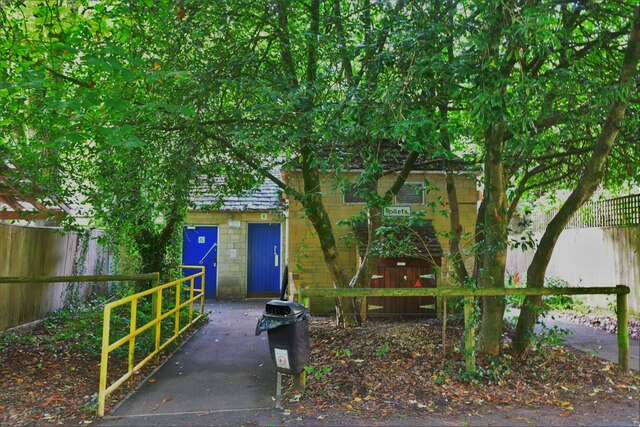
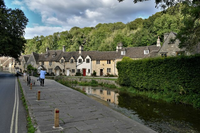
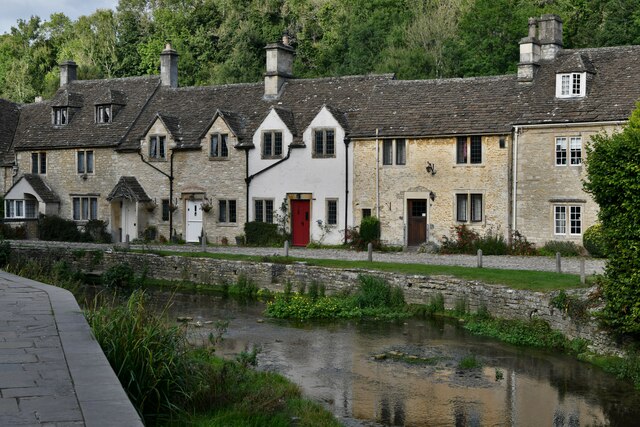
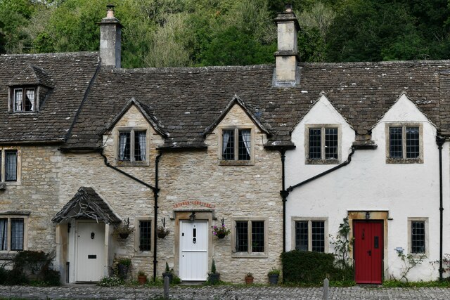
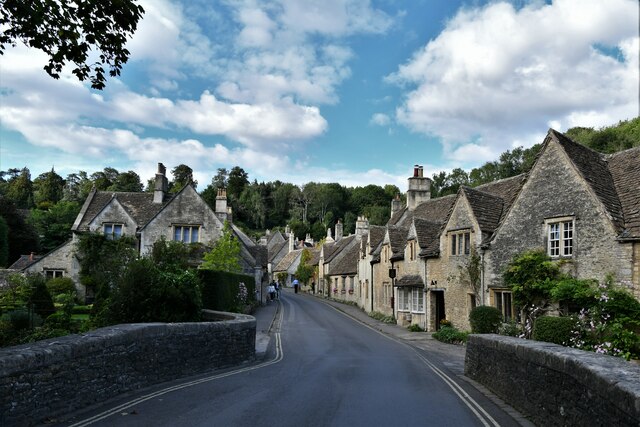
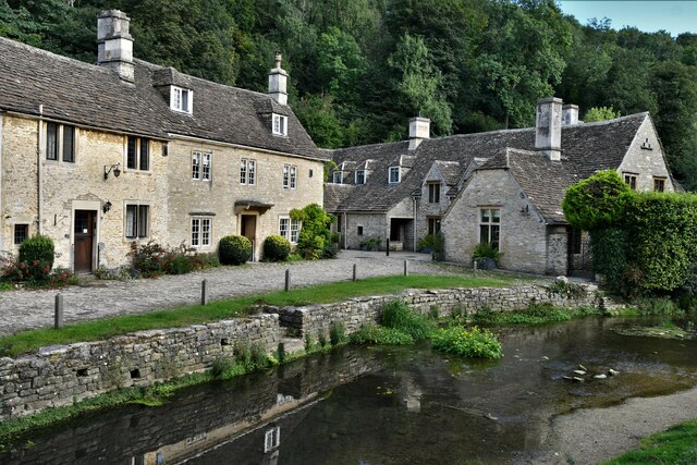
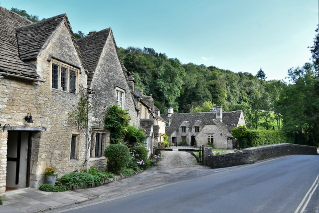
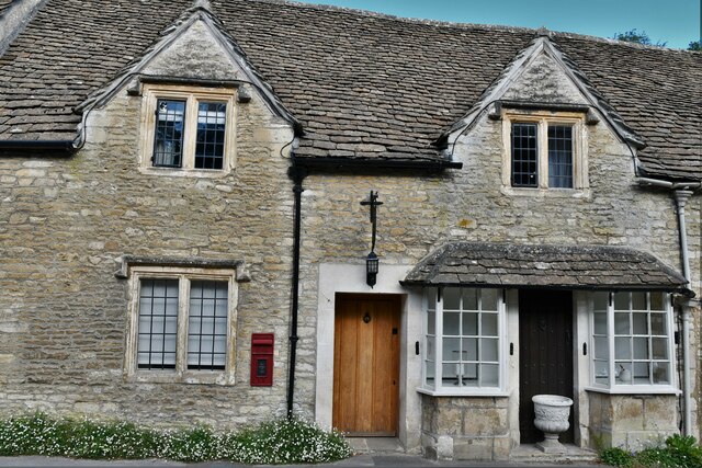
Triangle Plantation Images

Images are sourced within 2km of 51.499963/-2.2396554 or Grid Reference ST8377. Thanks to Geograph Open Source API. All images are credited.

Castle Combe: The Public Conveniences One point of interest; we were in the designated car park a long way from the village and were told there were four spaces outside the toilets. We then parked there without restriction, a short distance from the village and its parking restrictions.
Castle Combe: The Public Conveniences
One point of interest; we were in the designated car park a long way from the village and were told there were four spaces outside the toilets. We then parked there without restriction, a short distance from the village and its parking restrictions.
Castle Combe: The Street
Castle Combe: Cottages
Castle Combe: Two cottages
Castle Combe: The Street
Castle Combe: Cottages
Castle Combe: Cottage with post box
Castle Combe: Cottage
Castle Combe: Cottage offering refreshments and home made cake
Castle Combe: White Hart PH
Castle Combe, St. Andrew's Church: Chancel roof from the nave
Castle Combe, St. Andrew's Church: Chancel arch detail
Castle Combe, St. Andrew's Church: Chancel arch detail, canopied statues
Castle Combe, St. Andrew's Church: The altar
Castle Combe, St. Andrew's Church: Knight, Walter de Dunstanville memorial
Castle Combe, St. Andrew's Church: Knight, Walter de Dunstanville memorial (detail)
Show me another place!

Triangle Plantation is located at Grid Ref: ST8377 (Lat: 51.499963, Lng: -2.2396554)

Unitary Authority: Wiltshire

Police Authority: Wiltshire

What 3 Words

///mural.talkative.potential. Near Nettleton, Wiltshire

Related Wikis

Nettleton Mill

Nettleton Mill is a mill house in Wiltshire, England, on the banks of the Bybrook River, to the south-east of Nettleton. Part of the Castle Combe estate...

Castle Combe Castle

Castle Combe Castle stood to the north of the village of Castle Combe, Wiltshire, England. The castle was a medieval motte and bailey castle standing on...

Fosse Farmhouse

Fosse Farmhouse is an 18th-century farmhouse in the English Cotswolds near the Fosse Way and Castle Combe. It is now used to provide hospitality and accommodation...

Little Grubbins Meadow

Little Grubbins Meadow (grid reference ST831773) is a 3.0 hectare biological Site of Special Scientific Interest in Wiltshire, England, notified in 1975...

Nearby Amenities

Located within 500m of 51.499963,-2.2396554
Barrier: kissing_gate
Foot: designated
Lat/Long: 51.4965697/-2.2428527
Barrier: kissing_gate
Foot: designated
Lat/Long: 51.4965705/-2.2411412
Golf: pin
Lat/Long: 51.5004055/-2.2339242
Golf: tee
Lat/Long: 51.5002814/-2.2354744
Golf: pin
Lat/Long: 51.4996273/-2.2370669
Golf: tee
Lat/Long: 51.4991007/-2.2392542
Golf: pin
Lat/Long: 51.5028142/-2.2367415
Golf: tee
Lat/Long: 51.5031787/-2.236832
Golf: pin
Lat/Long: 51.503713/-2.2394122
Golf: tee
Lat/Long: 51.5036743/-2.2400291
Golf: pin
Lat/Long: 51.5005514/-2.2400088
Golf: tee
Lat/Long: 51.5000908/-2.2407255
Golf: pin
Lat/Long: 51.5038809/-2.2406504
Golf: tee
Lat/Long: 51.5032713/-2.2411409
Golf: pin
Lat/Long: 51.4991753/-2.2406506
Golf: tee
Lat/Long: 51.4986864/-2.2390371
Golf: pin
Lat/Long: 51.4975242/-2.2358024
Golf: pin
Lat/Long: 51.497102/-2.2366981
Golf: tee
Lat/Long: 51.4973823/-2.2369517
Golf: pin
Lat/Long: 51.497782/-2.2405242
Golf: tee
Lat/Long: 51.4984805/-2.2402405
Golf: pin
Lat/Long: 51.50003/-2.2435718
Golf: tee
Lat/Long: 51.5001261/-2.2440113
Golf: pin
Lat/Long: 51.5037133/-2.2415455
Golf: tee
Lat/Long: 51.504266/-2.2410138
Golf: pin
Lat/Long: 51.5035368/-2.2366181
Golf: tee
Lat/Long: 51.5031445/-2.2358362
The data included in this document is from www.openstreetmap.org. The data is made available under ODbL.

Have you been to Triangle Plantation?

Leave your review of Triangle Plantation below (or comments, questions and feedback).