The Woodland Garden
Wood, Forest in Worcestershire Wyre Forest
England
The Woodland Garden
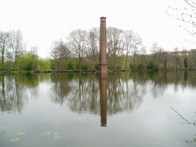
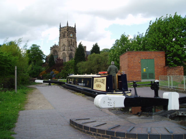
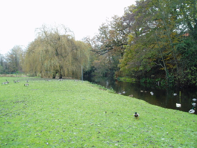
The Woodland Garden in Worcestershire, England is a serene and captivating natural haven. Spread across a sprawling area, it is home to a diverse range of woodlands and forests, making it a delight for nature enthusiasts and explorers alike. Located in the heart of the picturesque Worcestershire countryside, the garden offers a tranquil escape from the hustle and bustle of city life.
Visitors to The Woodland Garden can expect to be surrounded by a lush green landscape, with towering trees, vibrant wildflowers, and a myriad of wildlife. The garden features a well-maintained network of walking trails, enabling visitors to immerse themselves in the beauty of the natural surroundings and discover hidden gems along the way.
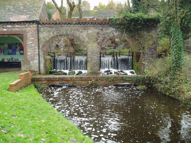
Throughout the year, The Woodland Garden showcases the changing seasons, with vibrant blooms in spring, rich foliage in summer, and a beautiful tapestry of colors in autumn. The garden also boasts a collection of rare and exotic plant species, carefully curated to provide a captivating display throughout the year.
In addition to its natural beauty, The Woodland Garden offers a range of amenities for visitors. These include picnic areas, benches, and guided tours, ensuring that visitors have everything they need for a comfortable and enjoyable visit. The garden is also popular for various events and workshops, providing opportunities for individuals and families to learn more about nature conservation and gardening.
Overall, The Woodland Garden in Worcestershire is a haven of tranquility and natural beauty, offering visitors an escape into the heart of nature.
If you have any feedback on the listing, please let us know in the comments section below.
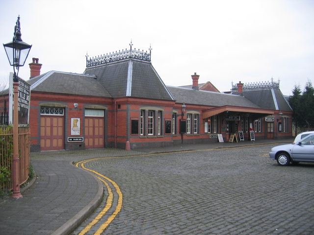
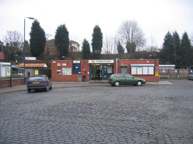
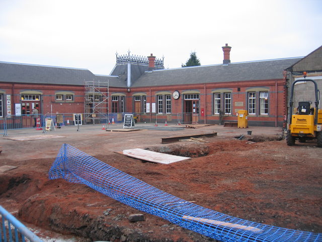
The Woodland Garden Images
Images are sourced within 2km of 52.397482/-2.2462713 or Grid Reference SO8377. Thanks to Geograph Open Source API. All images are credited.


The Woodland Garden is located at Grid Ref: SO8377 (Lat: 52.397482, Lng: -2.2462713)
Administrative County: Worcestershire
District: Wyre Forest
Police Authority: West Mercia
What 3 Words
///uses.become.global. Near Kidderminster, Worcestershire
Nearby Locations
Related Wikis

Wyre Forest (UK Parliament constituency)
Wyre Forest is a county constituency represented in the House of Commons of the Parliament of the United Kingdom. It elects one Member of Parliament...

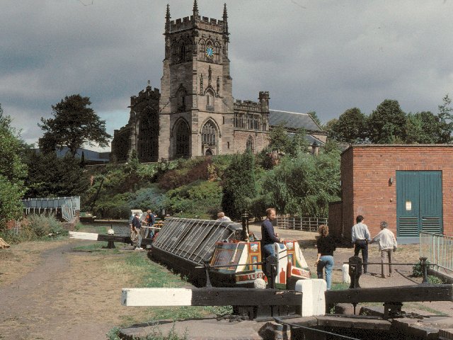
St George's Church, Kidderminster
St George's Church, Kidderminster is a Church of England parish church in Kidderminster, Worcestershire, England. The church is a Grade II* listed building...

St Mary and All Saints' Church, Kidderminster
St Mary and All Saints’ Church, Kidderminster is a Grade I listed Major Parish Church in the Church of England in Kidderminster, Worcestershire, England...

Holy Trinity School, Kidderminster
Holy Trinity School is a co-educational free school located in Kidderminster, Worcestershire, England, offering education to children from 4 years up to...

The Shrubbery, Kidderminster
The Shrubbery is a former military installation in Kidderminster, Worcestershire. It is a Grade II listed building. == History == The building is an early...

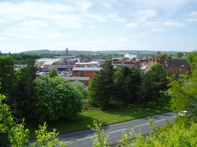
Kidderminster
Kidderminster is a market and historic minster town and civil parish in Worcestershire, England, 20 miles (32 km) south-west of Birmingham and 12 miles...
Municipal Borough of Kidderminster
The Municipal Borough of Kidderminster was a local government district in Worcestershire, that existed from 1835 to 1974. It was abolished in 1974 under...
Heathfield Knoll School
Heathfield Knoll School and First Steps Day Nursery is a small, independent, non-denominational day school and day nursery in Wolverley, near Kidderminster...
Nearby Amenities
Located within 500m of 52.397482,-2.2462713Have you been to The Woodland Garden?
Leave your review of The Woodland Garden below (or comments, questions and feedback).