Arnford Wood
Wood, Forest in Yorkshire Craven
England
Arnford Wood
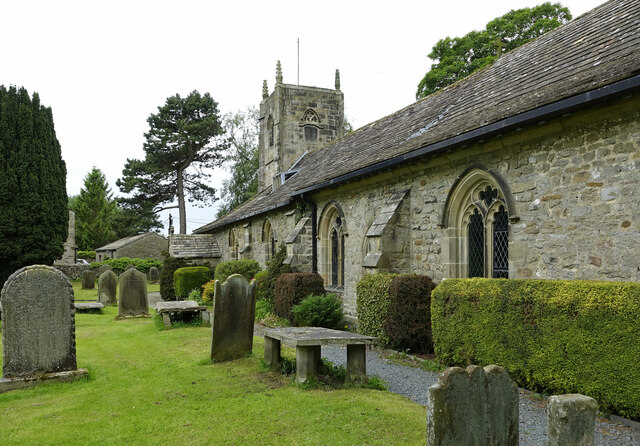
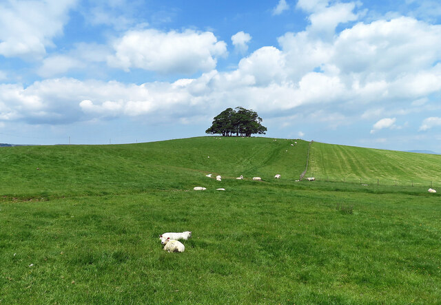
Arnford Wood is a picturesque and enchanting forest located in the county of Yorkshire, England. This woodland area is a perfect escape from the hustle and bustle of city life, offering visitors a tranquil and serene environment to unwind and connect with nature.
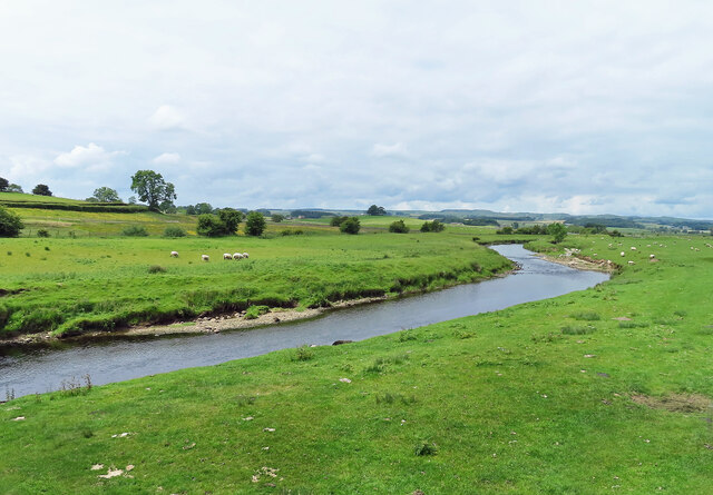
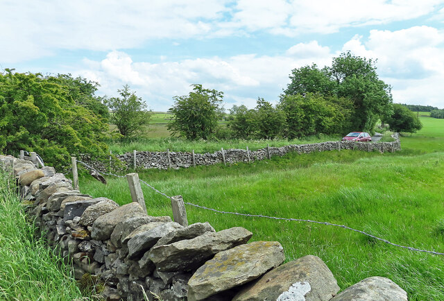
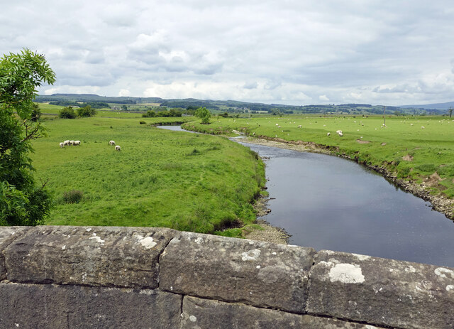
Covering an area of approximately 100 acres, Arnford Wood boasts a diverse range of tree species, including oak, beech, and ash, which create a rich and vibrant tapestry of colors throughout the year. The forest floor is adorned with a variety of wildflowers, providing a delightful sight and a haven for local wildlife.
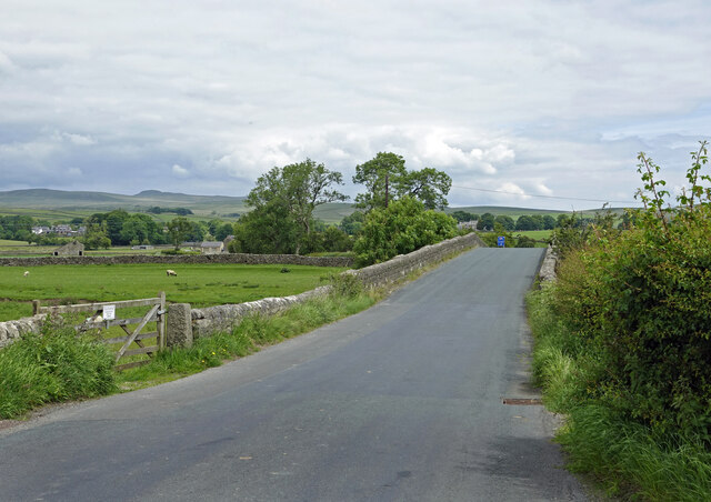
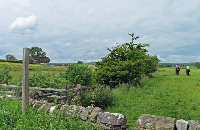
The wood is crisscrossed with a network of well-maintained footpaths, allowing visitors to explore its natural beauty at their own pace. These paths lead to secluded clearings, babbling brooks, and hidden ponds, providing endless opportunities for nature enthusiasts and photographers.
Arnford Wood is also home to a wide array of wildlife. Visitors may be fortunate enough to spot red squirrels, deer, and a variety of bird species, including woodpeckers and owls. The forest provides an important habitat for these creatures, offering food, shelter, and protection.
In addition to its natural beauty, Arnford Wood has historical significance. It is believed to have been in existence since medieval times, and remnants of ancient earthworks and boundary walls can still be seen within its boundaries.
Overall, Arnford Wood is a true gem in the heart of Yorkshire, offering visitors a chance to immerse themselves in the natural beauty and tranquility of a traditional English woodland.
If you have any feedback on the listing, please let us know in the comments section below.
Arnford Wood Images
Images are sourced within 2km of 54.004091/-2.2556511 or Grid Reference SD8356. Thanks to Geograph Open Source API. All images are credited.


Arnford Wood is located at Grid Ref: SD8356 (Lat: 54.004091, Lng: -2.2556511)
Division: West Riding
Administrative County: North Yorkshire
District: Craven
Police Authority: North Yorkshire
What 3 Words
///cheek.removal.acclaimed. Near Hellifield, North Yorkshire
Nearby Locations
Related Wikis

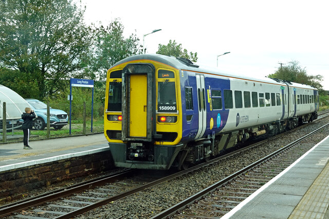
Long Preston railway station
Long Preston is a railway station on the Bentham Line, which runs between Leeds and Morecambe via Skipton. The station, situated 37+1⁄2 miles (60 km) north...

Long Preston
Long Preston is a village and civil parish in the Craven district of North Yorkshire, England, in the Yorkshire Dales. It lies along the A65 road, and...
Hellifield engine shed
Hellifield Engine Shed was a railway locomotive depot adjacent to Hellifield railway station in North Yorkshire, England. The depot opened in 1880 and...
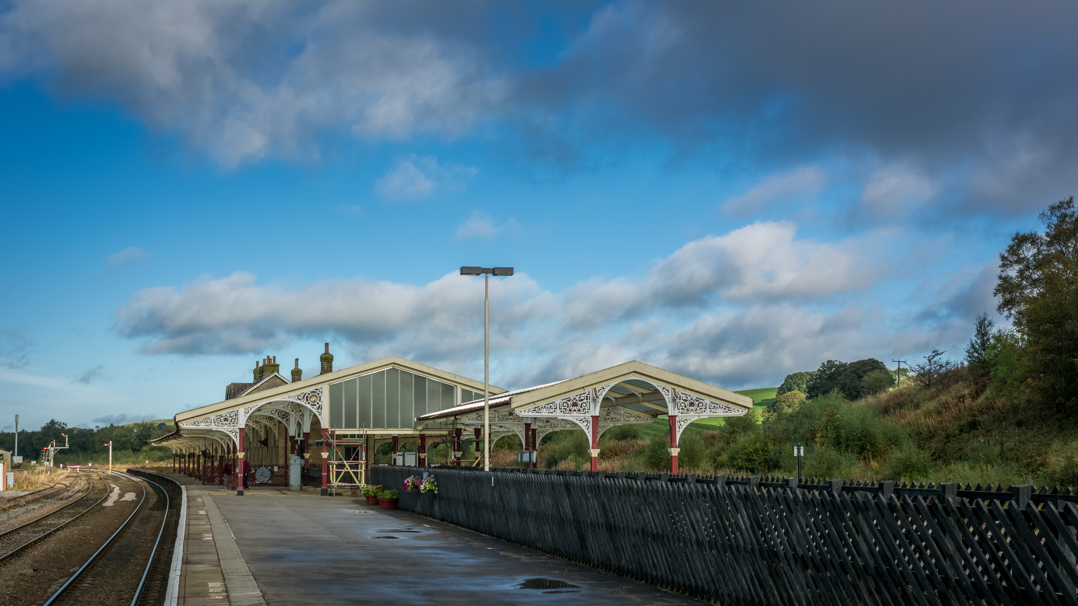
Hellifield railway station
Hellifield is a railway station on the Bentham Line, which runs between Leeds and Morecambe via Skipton. The station, situated 36 miles 17 chains (58.3...

Hellifield
Hellifield is a village and civil parish in the Craven district of North Yorkshire, England (grid reference SD855565). Historically part of the West Riding...

Halton West
Halton West is a village and civil parish in the Craven district of North Yorkshire, England. North Yorkshire County Council estimated the population in...

Wigglesworth
Wigglesworth is a village and civil parish in the Craven district of North Yorkshire, England. The population of the civil parish taken at the 2011 Census...

Swinden
Swinden is a village in the civil parish of Hellifield, in North Yorkshire, England. It is near Halton West and Nappa and about 7 miles north of Barnoldswick...
Nearby Amenities
Located within 500m of 54.004091,-2.2556511Have you been to Arnford Wood?
Leave your review of Arnford Wood below (or comments, questions and feedback).