Chilbrook Coppice
Wood, Forest in Worcestershire Wychavon
England
Chilbrook Coppice

Chilbrook Coppice is a picturesque woodland located in the county of Worcestershire, England. Covering an area of approximately 50 acres, this ancient forest is renowned for its natural beauty and diverse ecosystem. Nestled between the towns of Kidderminster and Stourport-on-Severn, it offers a tranquil escape from the bustling urban life.
The coppice is predominantly composed of deciduous trees, including oak, ash, and beech, which create a dense canopy that filters sunlight and casts enchanting shadows on the forest floor. The rich undergrowth is adorned with a variety of wildflowers, such as bluebells, primroses, and wood anemones, adding vibrant colors to the landscape during springtime.
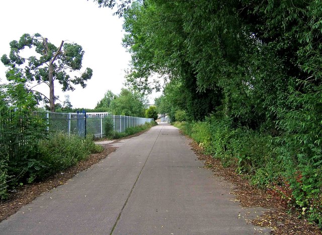
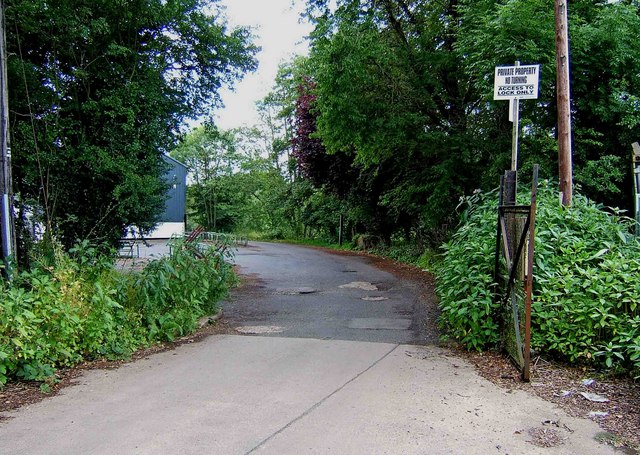
The forest is crisscrossed by a network of well-maintained footpaths, allowing visitors to explore its beauty at their own pace. These trails wind through the woodland, offering glimpses of a diverse array of wildlife, including squirrels, foxes, and various bird species. The peaceful atmosphere of Chilbrook Coppice makes it an ideal location for birdwatching and nature photography.
In addition to its natural wonders, Chilbrook Coppice also holds historical significance. It is believed that the area has been wooded since at least the medieval period, providing a valuable resource for timber and fuel. The coppicing technique, which involves periodically cutting back trees to encourage new growth, was traditionally practiced here.
Overall, Chilbrook Coppice is a captivating destination that combines natural beauty, tranquility, and historical significance. Whether visitors seek a peaceful walk, a chance to connect with nature, or an opportunity to learn about the region's history, this woodland provides a delightful experience for all.
If you have any feedback on the listing, please let us know in the comments section below.
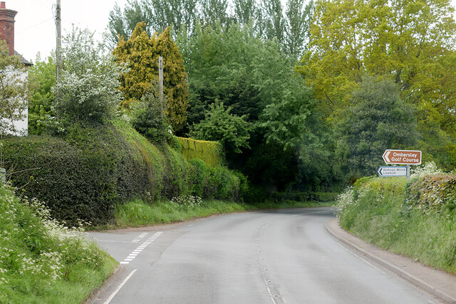
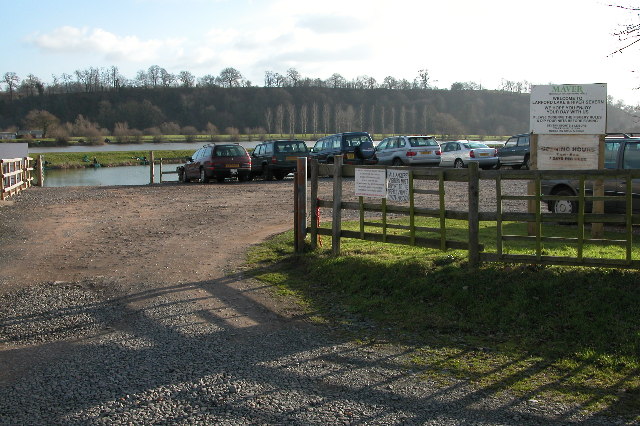
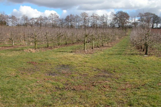
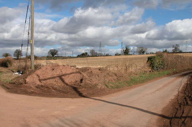
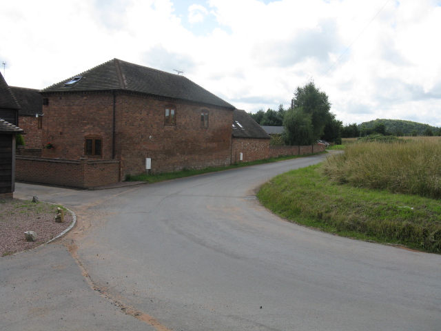
Chilbrook Coppice Images
Images are sourced within 2km of 52.330277/-2.248084 or Grid Reference SO8370. Thanks to Geograph Open Source API. All images are credited.


Chilbrook Coppice is located at Grid Ref: SO8370 (Lat: 52.330277, Lng: -2.248084)
Administrative County: Worcestershire
District: Wychavon
Police Authority: West Mercia
What 3 Words
///array.spent.uptake. Near Hartlebury, Worcestershire
Nearby Locations
Related Wikis

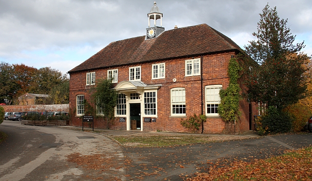
Hartlebury Castle
Hartlebury Castle, a Grade I listed building, near Hartlebury in Worcestershire, central England, was built in the mid-13th century as a fortified manor...

Hartlebury Common
Hartlebury Common is an area of lowland heath in north Worcestershire, England, situated just outside the town of Stourport-on-Severn. Hartlebury Common...
Worcestershire County Museum
Worcestershire County Museum is a local museum located within Hartlebury Castle in Hartlebury, Worcestershire, England, near the City of Worcester. The...

Hartlebury
Hartlebury is a village and civil parish in the Wychavon district of Worcestershire, England. It is 4 miles (6.4 km) south of Kidderminster. The village...

Stourport power stations
Stourport power stations were two electricity generating stations that supplied electricity to Stourport-on-Severn, Worcestershire and to the wider West...

Hartlebury railway station
Hartlebury railway station serves the village of Hartlebury in Worcestershire, England. All trains serving the station are operated by West Midlands Trains...

Crossway Green
Crossway Green is a village in Worcestershire, England.

River Stour, Worcestershire
The Stour (, rhymes with "flour") is a river flowing through the counties of Worcestershire, the West Midlands and Staffordshire in the West Midlands region...
Nearby Amenities
Located within 500m of 52.330277,-2.248084Have you been to Chilbrook Coppice?
Leave your review of Chilbrook Coppice below (or comments, questions and feedback).