Crown Covert

Wood, Forest in Staffordshire South Staffordshire

England

Crown Covert

Enville windmill The tower mill on the edge of Enville Common built in 1800-1801 remained in use until 1870. The mill had four sails, boat cap and fantail. Little remains inside the shell except for sections of the turning ring for the boat cap. 

See <span class="nowrap"><a title="http://www.search.staffspasttrack.org.uk/engine/resource/default.asp?resource=11298" rel="nofollow ugc noopener" href="http://www.search.staffspasttrack.org.uk/engine/resource/default.asp?resource=11298">Link</a><img style="margin-left:2px;" alt="External link" title="External link - shift click to open in new window" src="https://s1.geograph.org.uk/img/external.png" width="10" height="10"/></span>
Enville windmill Credit: John M

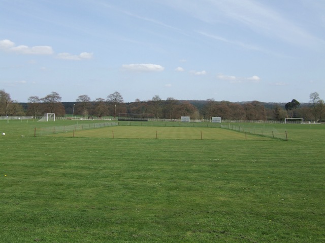
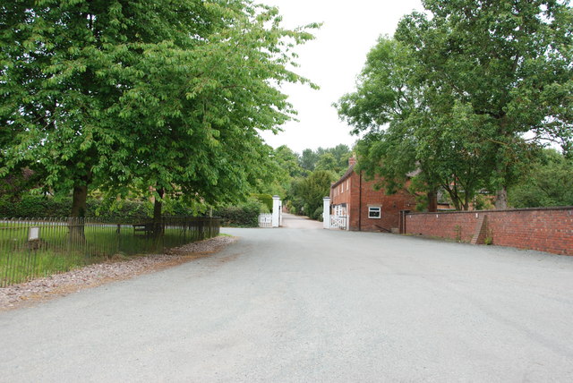
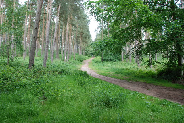
Crown Covert is a picturesque woodland located in Staffordshire, England. Spread across a vast area, it is known for its dense forest cover and serene natural beauty. The woodland is situated in close proximity to the village of Crown Covert, which adds to its charm and accessibility.

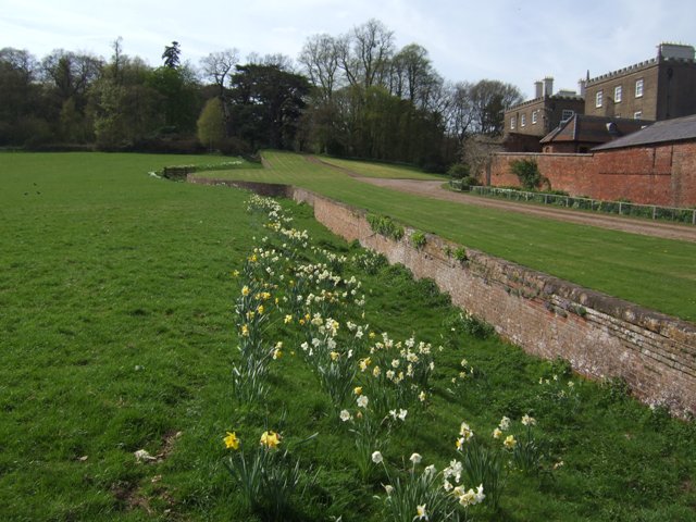
The forest is dominated by a variety of tree species, including oak, beech, and birch, creating a diverse and vibrant ecosystem. The dense canopy of foliage provides a sheltered habitat for a range of plant and animal species. Visitors can expect to encounter wildflowers, such as bluebells and primroses, which carpet the forest floor during the spring season.

Crown Covert offers a tranquil escape for nature enthusiasts and outdoor lovers. It provides ample opportunities for walking, hiking, and birdwatching. The forest is home to a wide array of bird species, including woodpeckers, nuthatches, and various songbirds, making it a popular spot for birdwatchers.

The woodland also features several well-maintained trails that wind through the trees, offering visitors a chance to explore its hidden treasures. There are designated picnic areas where visitors can relax and enjoy a meal amidst the peaceful surroundings.

Crown Covert is not only a haven for wildlife and nature lovers but also an important part of the local heritage and history. It has been protected and managed by the local authorities to preserve its ecological significance and provide a sustainable recreational space for residents and tourists alike.

If you have any feedback on the listing, please let us know in the comments section below.
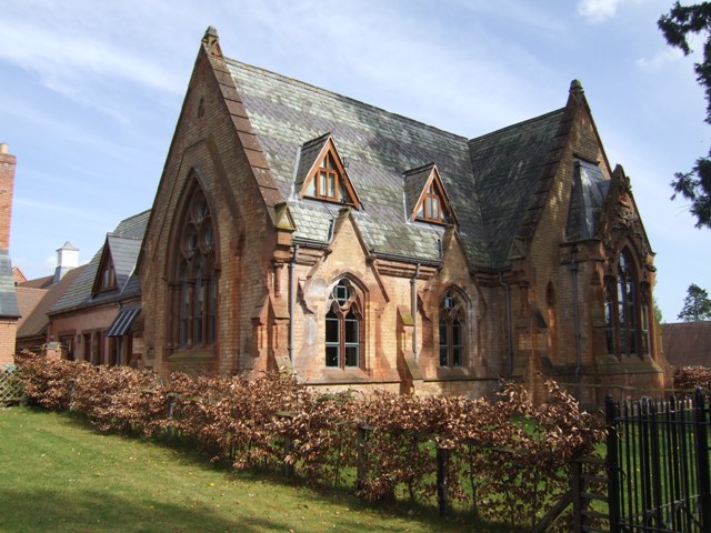
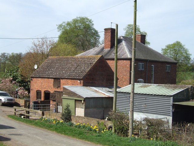
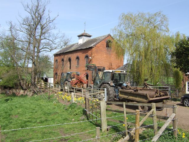
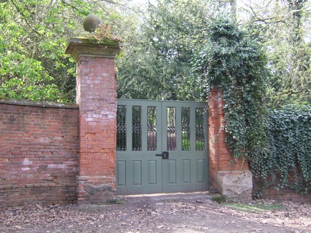
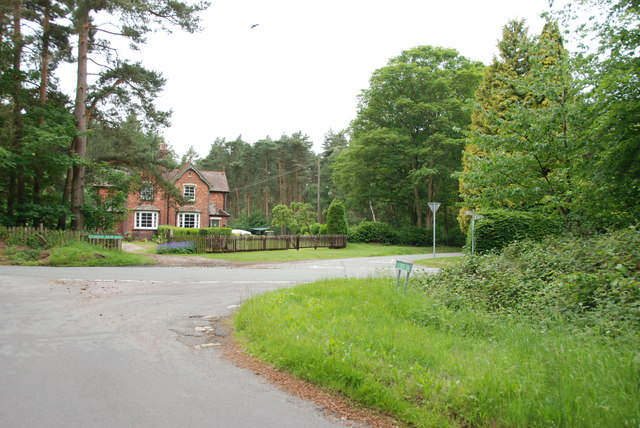
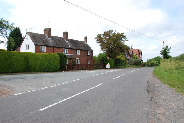
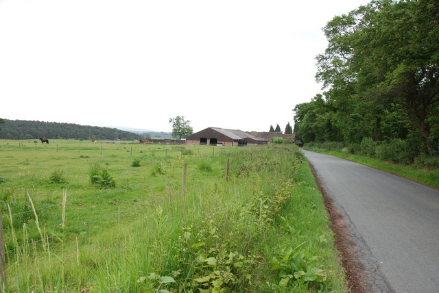
Crown Covert Images

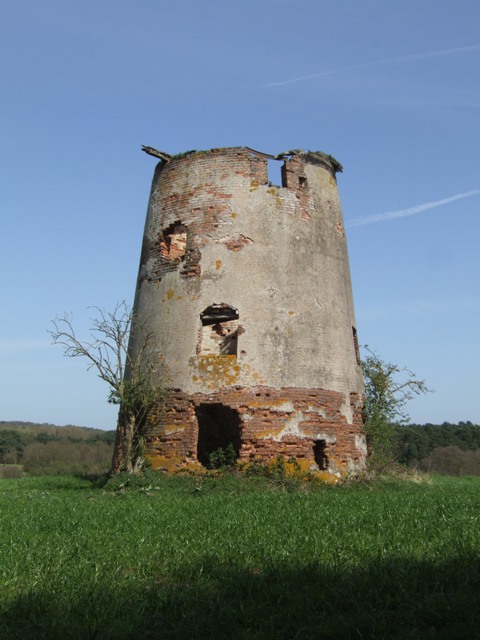
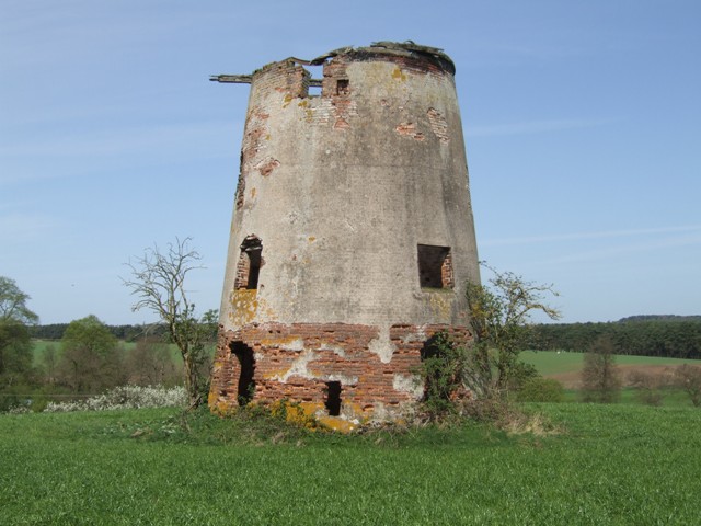
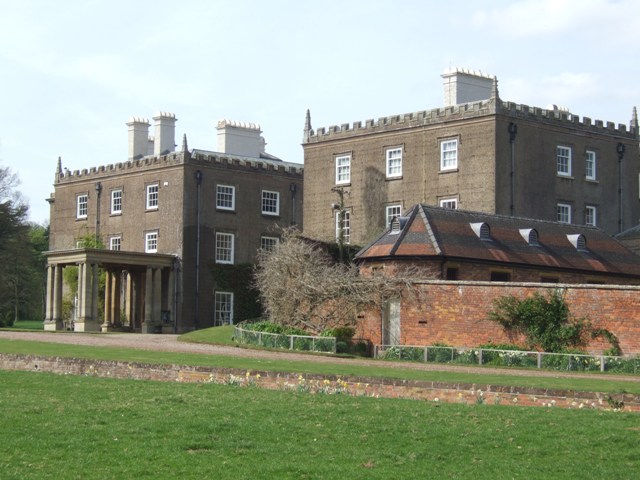
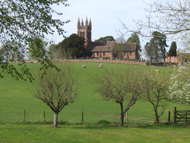
Images are sourced within 2km of 52.477506/-2.2489416 or Grid Reference SO8386. Thanks to Geograph Open Source API. All images are credited.

Enville windmill The tower mill on the edge of Enville Common built in 1800-1801 remained in use until 1870. The mill had four sails, boat cap and fantail. Little remains inside the shell except for sections of the turning ring for the boat cap. 

See <span class="nowrap"><a title="http://www.search.staffspasttrack.org.uk/engine/resource/default.asp?resource=11298" rel="nofollow ugc noopener" href="http://www.search.staffspasttrack.org.uk/engine/resource/default.asp?resource=11298">Link</a><img style="margin-left:2px;" alt="External link" title="External link - shift click to open in new window" src="https://s1.geograph.org.uk/img/external.png" width="10" height="10"/></span>
Enville windmill
The tower mill on the edge of Enville Common built in 1800-1801 remained in use until 1870. The mill had four sails, boat cap and fantail. Little remains inside the shell except for sections of the turning ring for the boat cap. See LinkExternal link
Enville windmill The tower mill on the edge of Enville Common built in 1800-1801 remained in use until 1870. The mill had four sails, boat cap and fantail. Little remains inside the shell except for sections of the turning ring for the boat cap. 

<span class="nowrap"><a title="http://www.search.staffspasttrack.org.uk/engine/resource/default.asp?resource=11298" rel="nofollow ugc noopener" href="http://www.search.staffspasttrack.org.uk/engine/resource/default.asp?resource=11298">Link</a><img style="margin-left:2px;" alt="External link" title="External link - shift click to open in new window" src="https://s1.geograph.org.uk/img/external.png" width="10" height="10"/></span>
Enville windmill
The tower mill on the edge of Enville Common built in 1800-1801 remained in use until 1870. The mill had four sails, boat cap and fantail. Little remains inside the shell except for sections of the turning ring for the boat cap. LinkExternal link
Enville Hall Grade II listed 16C&17C hall built by the Grey family, Earls of Stamford and Warrington. The extensive estate comprises 6500acres at Enville.
Enville Hall
Grade II listed 16C&17C hall built by the Grey family, Earls of Stamford and Warrington. The extensive estate comprises 6500acres at Enville.
View to Enville Church Quintessential English village church near to Enville Hall with sheep grazing the fields. The church is largely Norman built on to an earlier Saxon foundation. The tower dates from the mid 1870s and is  a late commission by George Gilbert Scott the renowned architect of churches, cathedrals and St Pancras Station.
View to Enville Church
Quintessential English village church near to Enville Hall with sheep grazing the fields. The church is largely Norman built on to an earlier Saxon foundation. The tower dates from the mid 1870s and is a late commission by George Gilbert Scott the renowned architect of churches, cathedrals and St Pancras Station.
Former Enville School School in the estate village erected by the Countess of Stamford and Warrington in the 1860s.
Former Enville School
School in the estate village erected by the Countess of Stamford and Warrington in the 1860s.
Mill farm Estate farm in Mill Lane.
Mill farm
Estate farm in Mill Lane.
Spittlebrook Mill Estate property on the Enville Estate.
Spittlebrook Mill
Estate property on the Enville Estate.
Gateway at Enville Hall The gate in the brick wall surrounding the hall leads into the landscaped gardens.
Gateway at Enville Hall
The gate in the brick wall surrounding the hall leads into the landscaped gardens.
Enville Cricket Club In the grounds of Enville Hall.
Enville Cricket Club
In the grounds of Enville Hall.
Scoreboard at Enville Cricket Club Built onto the wall surrounding Enville Hall.
Scoreboard at Enville Cricket Club
Built onto the wall surrounding Enville Hall.
Ha-ha at Enville Hall The Ha-ha or sunken wall feature separates the house and gardens from the grazing in the landscaped parkland.
Ha-ha at Enville Hall
The Ha-ha or sunken wall feature separates the house and gardens from the grazing in the landscaped parkland.
Main Entrance To Enville Hall.
Gamekeepers Cottages. These Cottages are on the Enville Road, Compton Road crossroads. Just outside Kinver.
Gamekeepers Cottages.
These Cottages are on the Enville Road, Compton Road crossroads. Just outside Kinver.
A Track Into The Million.
Cottages On Junction Of Chester Road & Hoo Lane.
Falcon Farm, Enville. Falcon Farm is part of the Enville Estate.
Falcon Farm, Enville.
Falcon Farm is part of the Enville Estate.
Public bridleway through Million Wood, near Enville The public bridleway which runs through the heart of this large wood, is the only route which the public can use. There are no other public rights of way, nor is it access land. Forestry operations are undertaken in the wood, so it is probably safest to stick to the correct route!
Public bridleway through Million Wood, near Enville
The public bridleway which runs through the heart of this large wood, is the only route which the public can use. There are no other public rights of way, nor is it access land. Forestry operations are undertaken in the wood, so it is probably safest to stick to the correct route!
Million Wood near Enville A typical scene in the wood, taken from the public bridleway. Although there appears to be a path here, there is no public right of way other than on the bridleway. The trees here are mainly pine. In April 2011, another part of the wood suffered a bad fire, which took some days to extinguish.
Million Wood near Enville
A typical scene in the wood, taken from the public bridleway. Although there appears to be a path here, there is no public right of way other than on the bridleway. The trees here are mainly pine. In April 2011, another part of the wood suffered a bad fire, which took some days to extinguish.
Show me another place!

Crown Covert is located at Grid Ref: SO8386 (Lat: 52.477506, Lng: -2.2489416)

Administrative County: Staffordshire

District: South Staffordshire

Police Authority: Staffordshire

What 3 Words

///moderated.reds.provider. Near Kinvere, Staffordshire

Related Wikis

West Midlands (region)

The West Midlands is one of nine official regions of England at the first level of International Territorial Level for statistical purposes. It covers...

Enville, Staffordshire

Enville is a village and civil parish in rural Staffordshire, England, on the A458 road between Stourbridge and Bridgnorth. Enville is in the South Staffordshire...

Enville Hall

Enville Hall is an English Tudor country house in the village of Enville, Staffordshire. It is a Grade II listed building. The house has a 16th and 17th...

Great Fountain, Enville

The Great Fountain, Enville, was a fountain created in the mid-19th century by the Earl of Stamford in the middle of a lake on his Enville Hall estate...

Nearby Amenities

Located within 500m of 52.477506,-2.2489416
The data included in this document is from www.openstreetmap.org. The data is made available under ODbL.

Have you been to Crown Covert?

Leave your review of Crown Covert below (or comments, questions and feedback).