Hillditch Coppice
Wood, Forest in Worcestershire Wychavon
England
Hillditch Coppice

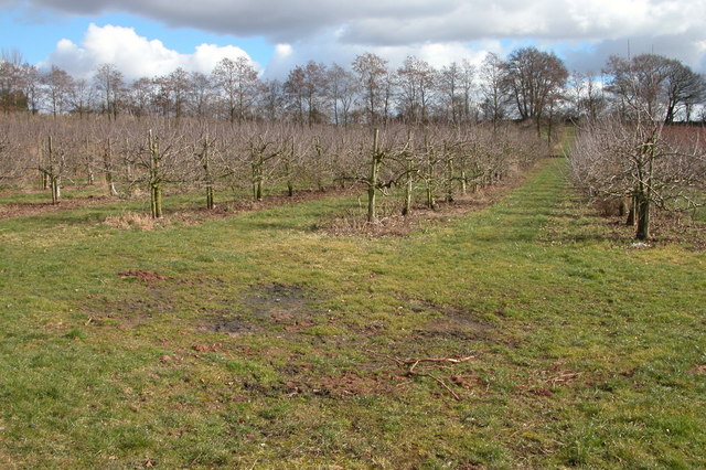
Hillditch Coppice is a picturesque woodland located in the county of Worcestershire, England. Spanning an area of approximately 100 acres, this ancient forest is nestled in the heart of the countryside, offering visitors a tranquil and enchanting experience.
The coppice is primarily composed of mature broadleaf trees, including oak, ash, and beech, which create a dense and lush canopy. These trees have been carefully managed over the years, resulting in a diverse ecosystem that supports a variety of plant and animal species.
Visitors to Hillditch Coppice can enjoy a network of well-maintained footpaths and trails that wind through the woods, allowing for leisurely walks and exploration. The forest floor is rich with wildflowers, ferns, and mosses, adding to the natural beauty and providing a habitat for numerous insects and small mammals.
Birdwatchers will be delighted by the abundance of avian species that call Hillditch Coppice their home. From songbirds like blackbirds and thrushes to raptors such as buzzards and owls, there is always something to see and hear in the treetops.
History buffs will appreciate the rich heritage of the coppice, which dates back centuries. It is believed that the area was once used for charcoal production, with evidence of charcoal platforms still visible today. The coppice has also played a role in traditional woodland crafts, such as hurdle-making and woodcarving.
Overall, Hillditch Coppice is a haven of natural beauty and tranquility, offering visitors a chance to escape the hustle and bustle of modern life and immerse themselves in the wonders of the Worcestershire countryside.
If you have any feedback on the listing, please let us know in the comments section below.
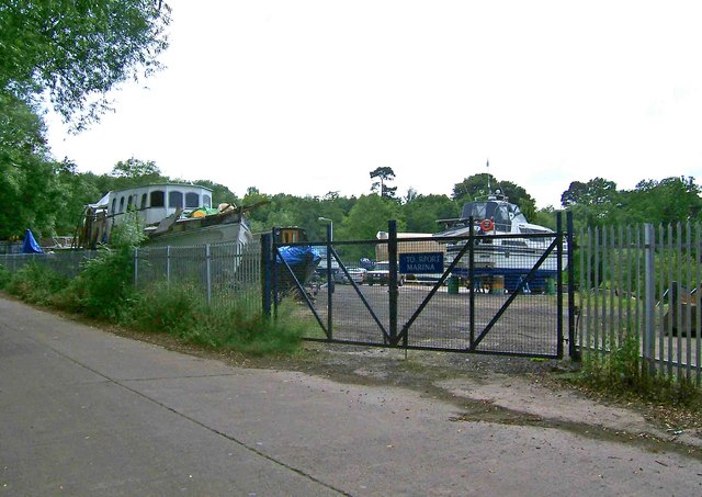
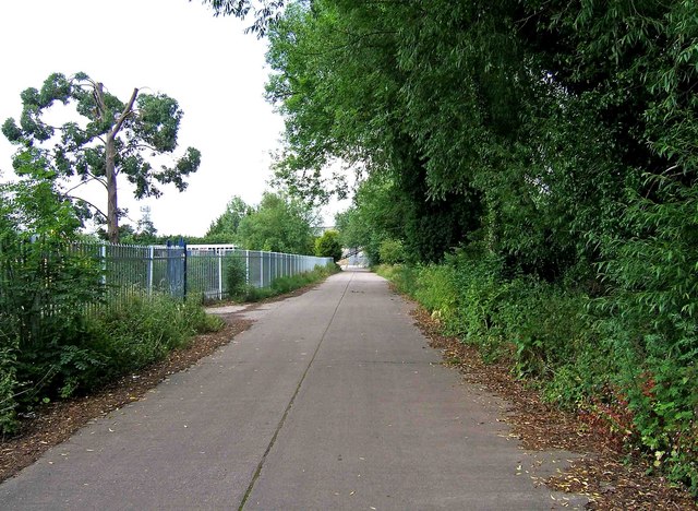
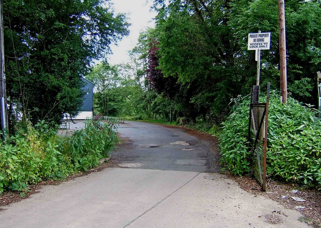
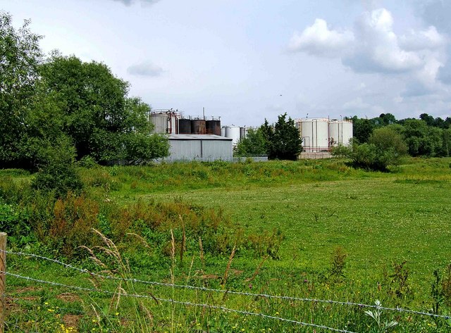
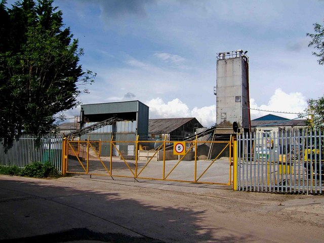
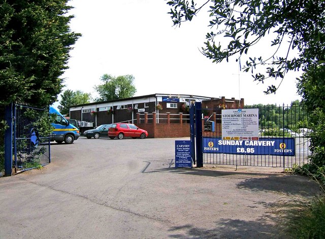
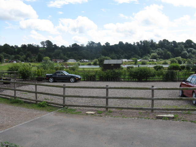
Hillditch Coppice Images
Images are sourced within 2km of 52.335622/-2.2500219 or Grid Reference SO8370. Thanks to Geograph Open Source API. All images are credited.


Hillditch Coppice is located at Grid Ref: SO8370 (Lat: 52.335622, Lng: -2.2500219)
Administrative County: Worcestershire
District: Wychavon
Police Authority: West Mercia
What 3 Words
///over.rips.statue. Near Hartlebury, Worcestershire
Nearby Locations
Related Wikis
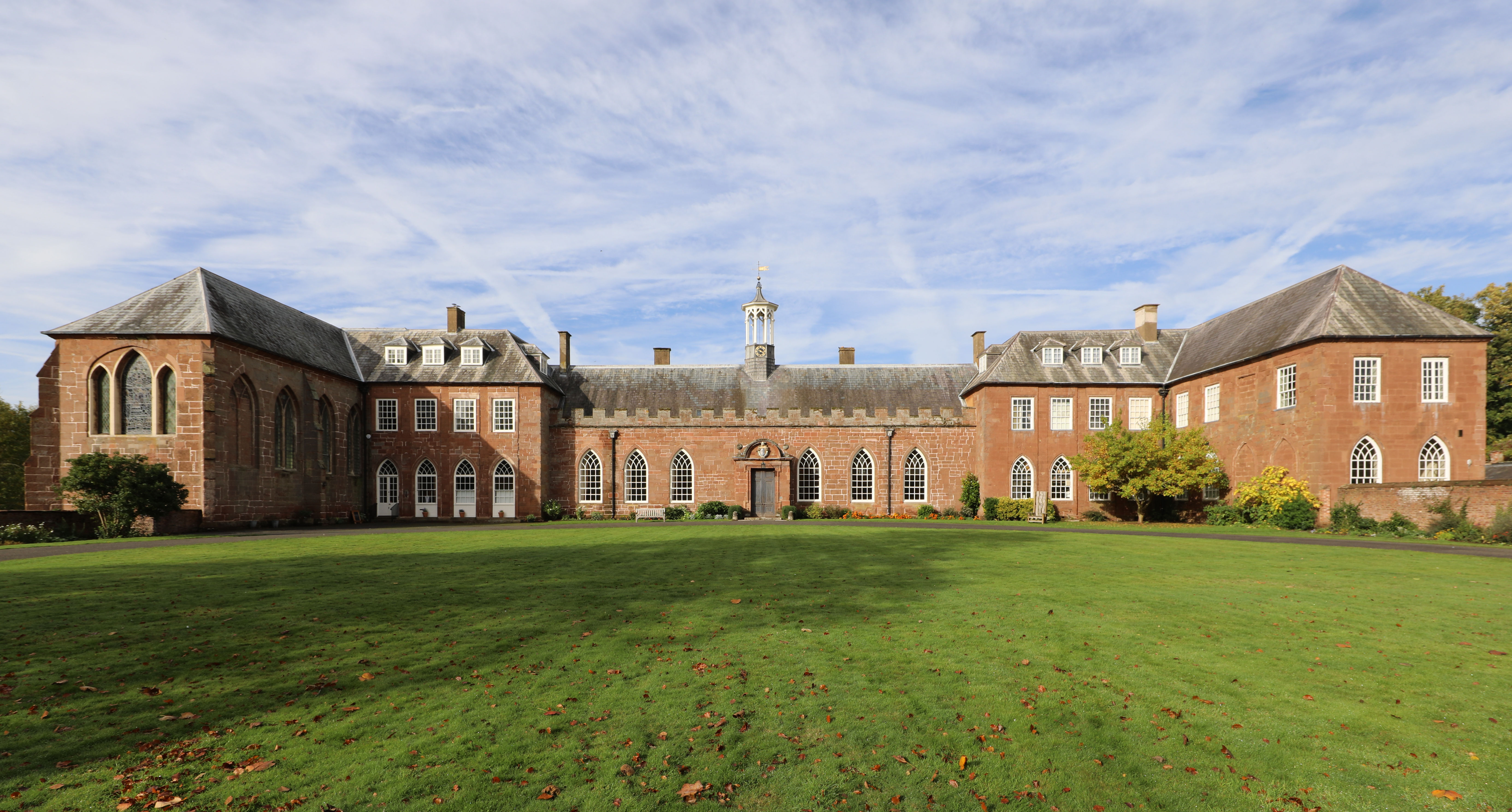
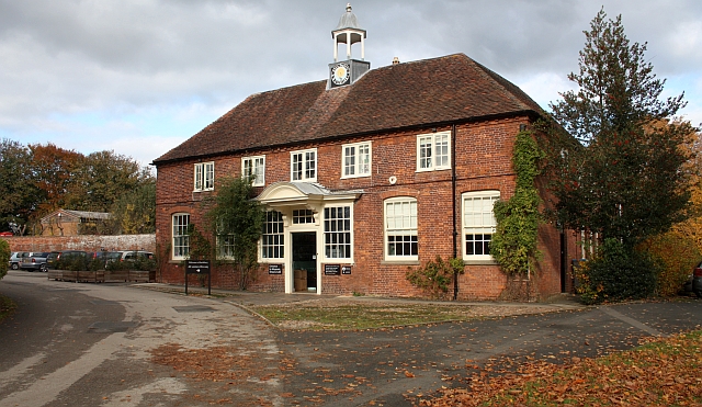
Hartlebury Castle
Hartlebury Castle, a Grade I listed building, near Hartlebury in Worcestershire, central England, was built in the mid-13th century as a fortified manor...
Worcestershire County Museum
Worcestershire County Museum is a local museum located within Hartlebury Castle in Hartlebury, Worcestershire, England, near the City of Worcester. The...

Hartlebury Common
Hartlebury Common is an area of lowland heath in north Worcestershire, England, situated just outside the town of Stourport-on-Severn. Hartlebury Common...
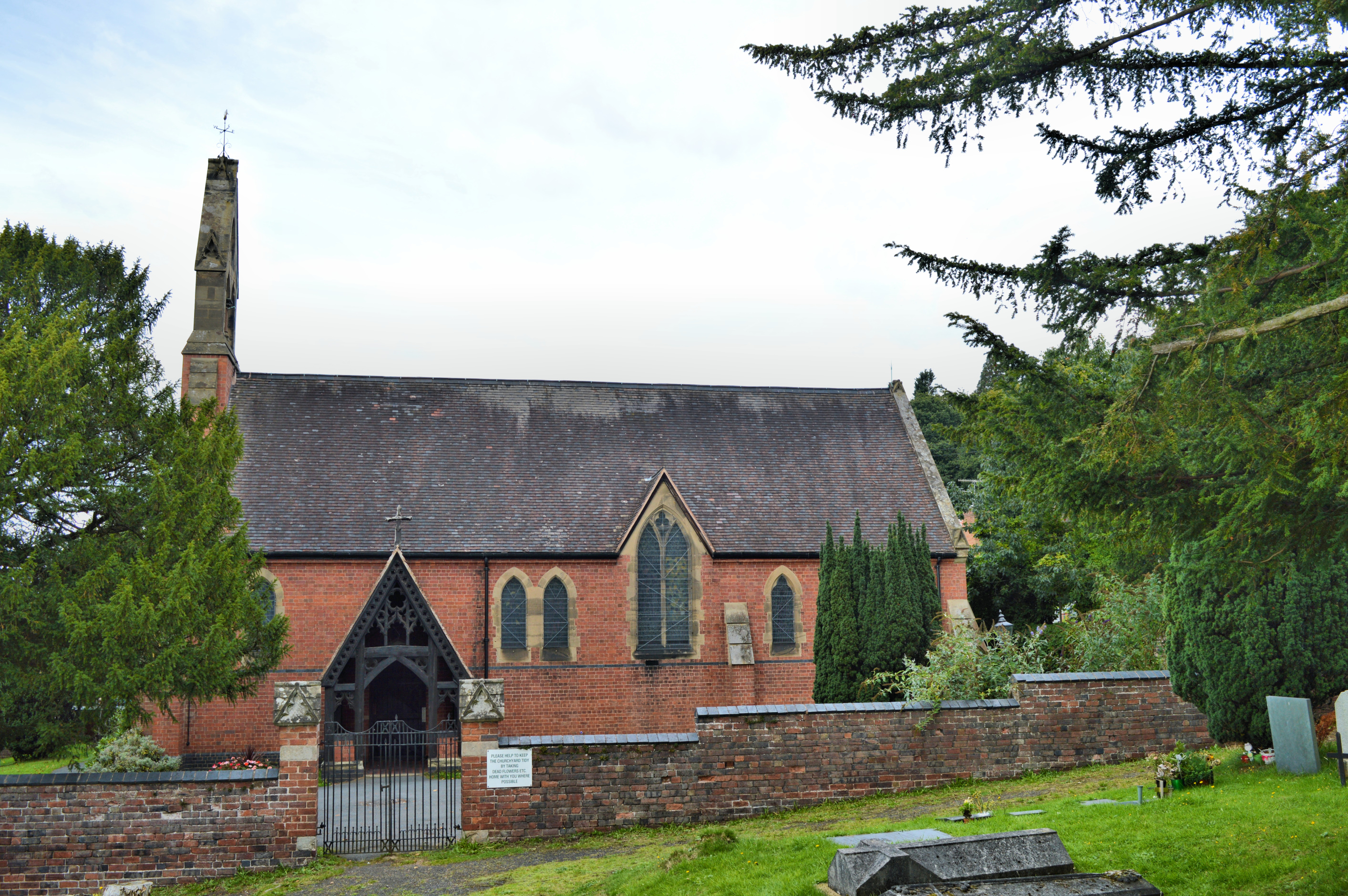
Church of All Saints, Wilden
All Saints Church in Wilden, Worcestershire about one mile to the north east of Stourport. It was designed by William Hopkins with funds provided by Alfred...

Hartlebury
Hartlebury is a village and civil parish in the Wychavon district of Worcestershire, England. It is 4 miles (6.4 km) south of Kidderminster. The village...

Stourport power stations
Stourport power stations were two electricity generating stations that supplied electricity to Stourport-on-Severn, Worcestershire and to the wider West...

Wilden, Worcestershire
Wilden is a small village about 1 mile north east of Stourport-on-Severn, Worcestershire. It is in the Stour valley and both the River Stour and the Staffordshire...

River Stour, Worcestershire
The Stour (, rhymes with "flour") is a river flowing through the counties of Worcestershire, the West Midlands and Staffordshire in the West Midlands region...
Nearby Amenities
Located within 500m of 52.335622,-2.2500219Have you been to Hillditch Coppice?
Leave your review of Hillditch Coppice below (or comments, questions and feedback).