Tnker Pits

Wood, Forest in Staffordshire Stafford

England

Tnker Pits

Cast iron canal milepost near Turnover Bridge This original cast-iron post dates from around 1835, and was Grade II listed <span class="nowrap"><a title="https://britishlistedbuildings.co.uk/101116601-milepost-shropshire-union-canal-45-miles-to-south-of-norbury-junction-church-eaton#.YVMvSLhKjIU" rel="nofollow ugc noopener" href="https://britishlistedbuildings.co.uk/101116601-milepost-shropshire-union-canal-45-miles-to-south-of-norbury-junction-church-eaton#.YVMvSLhKjIU">Link</a><img style="margin-left:2px;" alt="External link" title="External link - shift click to open in new window" src="https://s1.geograph.org.uk/img/external.png" width="10" height="10"/></span> & <span class="nowrap"><a title="https://historicengland.org.uk/listing/the-list/list-entry/1116601" rel="nofollow ugc noopener" href="https://historicengland.org.uk/listing/the-list/list-entry/1116601">Link</a><img style="margin-left:2px;" alt="External link" title="External link - shift click to open in new window" src="https://s1.geograph.org.uk/img/external.png" width="10" height="10"/></span> in 1972.
Cast iron canal milepost near Turnover Bridge Credit: Richard Law

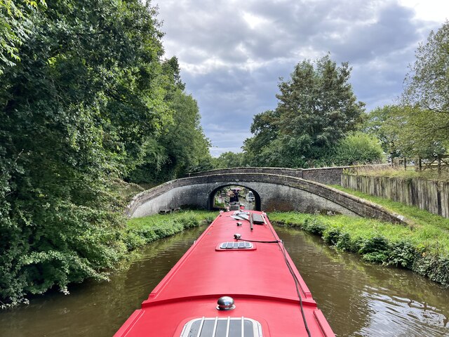
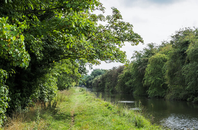
Tinker Pits, located in Staffordshire, England, is a woodland and forest area that covers approximately 200 acres. It is a popular destination for nature lovers, hikers, and birdwatchers due to its diverse wildlife and tranquil surroundings.

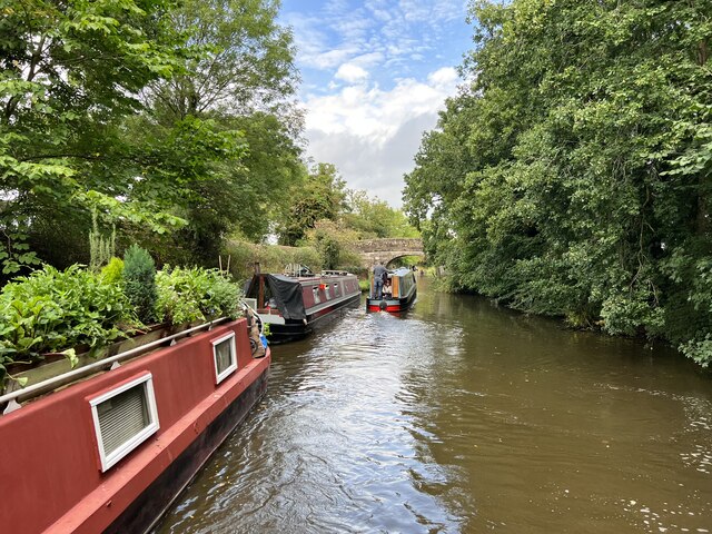
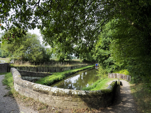
The woodland is primarily composed of broadleaf trees, including oak, birch, and beech, which create a dense canopy that provides shade and a cool atmosphere during the summer months. The forest floor is adorned with a variety of wildflowers, ferns, and mosses, adding to the natural beauty of the area. The wood is crisscrossed with numerous walking trails, allowing visitors to explore its hidden corners and discover its hidden treasures.

Tinker Pits is also home to a plethora of wildlife species. Bird enthusiasts can spot a wide range of feathered creatures, including woodpeckers, owls, and various songbirds. The forest is also inhabited by mammals such as deer, foxes, and badgers, which can occasionally be seen during dawn or dusk.

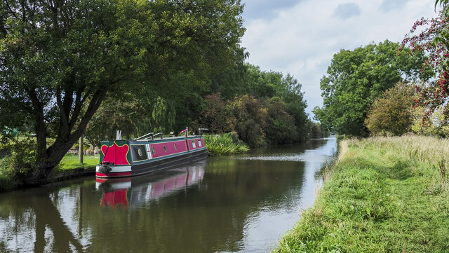
The woodland is managed by the local authorities, who strive to maintain its natural beauty while also ensuring its accessibility to the public. There are designated picnic areas and benches scattered throughout the wood, providing visitors with the opportunity to relax and enjoy the peaceful surroundings.

Overall, Tinker Pits in Staffordshire offers a serene escape from the hustle and bustle of everyday life, providing a haven for both nature enthusiasts and those seeking a peaceful retreat in the heart of the English countryside.

If you have any feedback on the listing, please let us know in the comments section below.

Tnker Pits Images

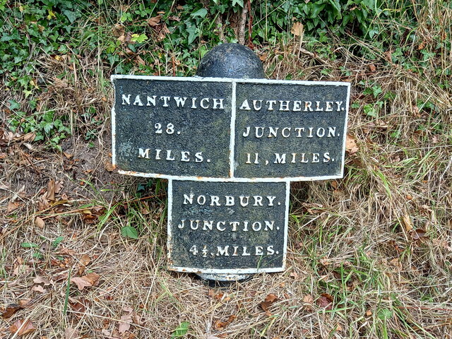
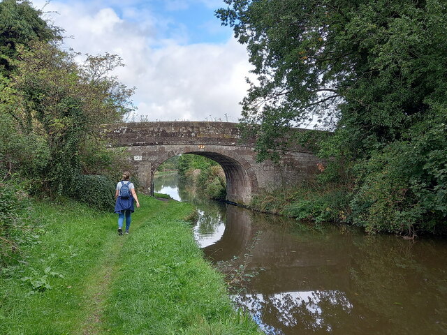
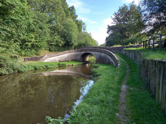
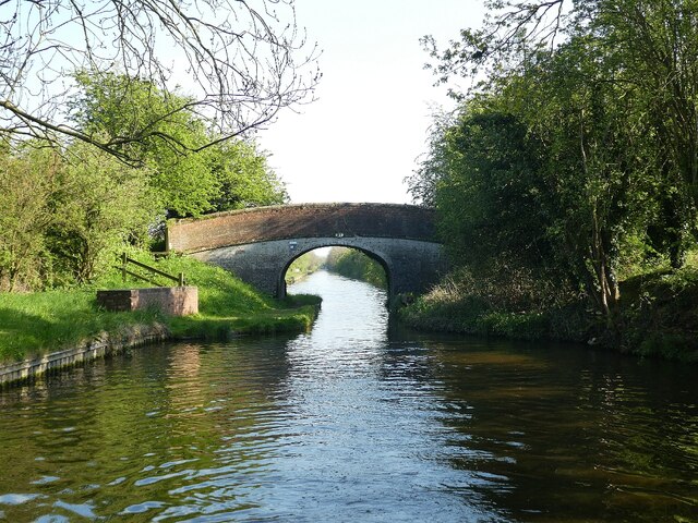
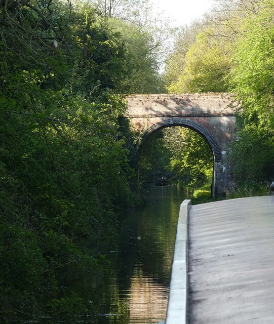
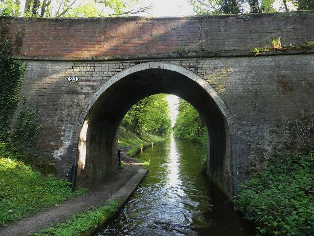
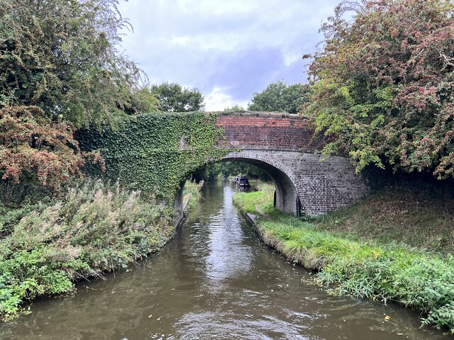
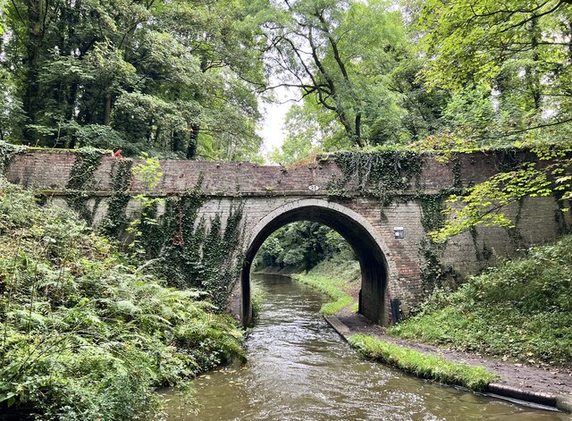
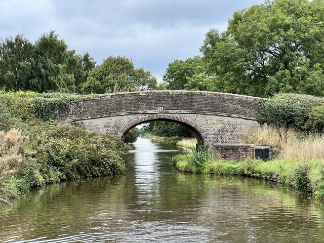
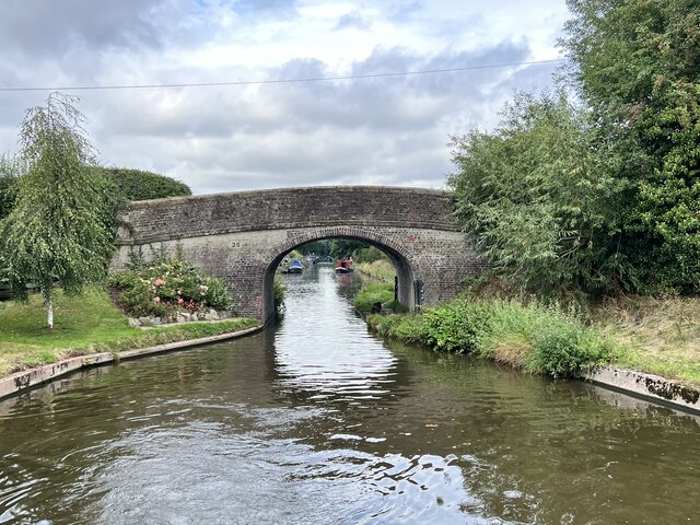
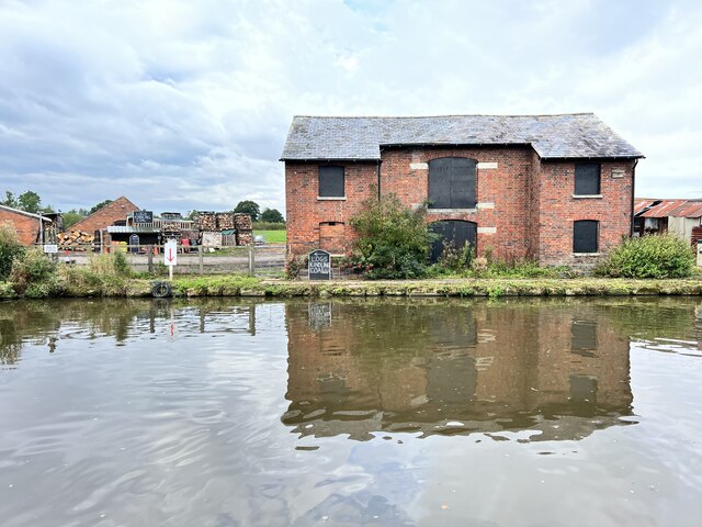
Images are sourced within 2km of 52.73711/-2.250538 or Grid Reference SJ8315. Thanks to Geograph Open Source API. All images are credited.

Cast iron canal milepost near Turnover Bridge This original cast-iron post dates from around 1835, and was Grade II listed <span class="nowrap"><a title="https://britishlistedbuildings.co.uk/101116601-milepost-shropshire-union-canal-45-miles-to-south-of-norbury-junction-church-eaton#.YVMvSLhKjIU" rel="nofollow ugc noopener" href="https://britishlistedbuildings.co.uk/101116601-milepost-shropshire-union-canal-45-miles-to-south-of-norbury-junction-church-eaton#.YVMvSLhKjIU">Link</a><img style="margin-left:2px;" alt="External link" title="External link - shift click to open in new window" src="https://s1.geograph.org.uk/img/external.png" width="10" height="10"/></span> & <span class="nowrap"><a title="https://historicengland.org.uk/listing/the-list/list-entry/1116601" rel="nofollow ugc noopener" href="https://historicengland.org.uk/listing/the-list/list-entry/1116601">Link</a><img style="margin-left:2px;" alt="External link" title="External link - shift click to open in new window" src="https://s1.geograph.org.uk/img/external.png" width="10" height="10"/></span> in 1972.
Cast iron canal milepost near Turnover Bridge
This original cast-iron post dates from around 1835, and was Grade II listed LinkExternal link & LinkExternal link in 1972.
Parks Bridge (no 27) on the Shropshire Union Canal A rural accommodation bridge dating from the early 1830s, which attracted a Grade II listing <span class="nowrap"><a title="https://britishlistedbuildings.co.uk/101273253-shropshire-union-canal-parks-bridge-number-27-at-sj-831-173-church-eaton#.YVMwN7hKjIU" rel="nofollow ugc noopener" href="https://britishlistedbuildings.co.uk/101273253-shropshire-union-canal-parks-bridge-number-27-at-sj-831-173-church-eaton#.YVMwN7hKjIU">Link</a><img style="margin-left:2px;" alt="External link" title="External link - shift click to open in new window" src="https://s1.geograph.org.uk/img/external.png" width="10" height="10"/></span> & <span class="nowrap"><a title="https://historicengland.org.uk/listing/the-list/list-entry/1273253" rel="nofollow ugc noopener" href="https://historicengland.org.uk/listing/the-list/list-entry/1273253">Link</a><img style="margin-left:2px;" alt="External link" title="External link - shift click to open in new window" src="https://s1.geograph.org.uk/img/external.png" width="10" height="10"/></span> in 1991. It carries no right of way, but is used by local walkers on a circuit of the woods to the south.
Parks Bridge (no 27) on the Shropshire Union Canal
A rural accommodation bridge dating from the early 1830s, which attracted a Grade II listing LinkExternal link & LinkExternal link in 1991. It carries no right of way, but is used by local walkers on a circuit of the woods to the south.
Cast iron rope fender on Parks Bridge One of the original 1830s installations, which shows significant signs of use, and forms part of the bridge's Grade II listing. The visible brickwork on the towpath beneath the bridge is original too.
Cast iron rope fender on Parks Bridge
One of the original 1830s installations, which shows significant signs of use, and forms part of the bridge's Grade II listing. The visible brickwork on the towpath beneath the bridge is original too.
Turnover Bridge (no 26) on the Shropshire Union canal Turnover Bridge here dates from the early 1830s when the canal was built; the name refers to the design which allowed a horse to cross the canal on the turnover without needing to be unhitched from the barge. Relatively uncommon in the countryside, but there are more numerous examples on the canals in urban areas - such as Birmingham, for instance. It was Grade II listed <span class="nowrap"><a title="https://britishlistedbuildings.co.uk/101259092-shropshire-union-canal-turnover-bridge-number-26-at-sj-832-171-church-eaton#.YVSC8prMLIU" rel="nofollow ugc noopener" href="https://britishlistedbuildings.co.uk/101259092-shropshire-union-canal-turnover-bridge-number-26-at-sj-832-171-church-eaton#.YVSC8prMLIU">Link</a><img style="margin-left:2px;" alt="External link" title="External link - shift click to open in new window" src="https://s1.geograph.org.uk/img/external.png" width="10" height="10"/></span> & <span class="nowrap"><a title="https://historicengland.org.uk/listing/the-list/list-entry/1259092" rel="nofollow ugc noopener" href="https://historicengland.org.uk/listing/the-list/list-entry/1259092">Link</a><img style="margin-left:2px;" alt="External link" title="External link - shift click to open in new window" src="https://s1.geograph.org.uk/img/external.png" width="10" height="10"/></span> in 1991.
Turnover Bridge (no 26) on the Shropshire Union canal
Turnover Bridge here dates from the early 1830s when the canal was built; the name refers to the design which allowed a horse to cross the canal on the turnover without needing to be unhitched from the barge. Relatively uncommon in the countryside, but there are more numerous examples on the canals in urban areas - such as Birmingham, for instance. It was Grade II listed LinkExternal link & LinkExternal link in 1991.
Shropshire Union Canal - Shushions Bridge (No.21) Shushions Bridge (No.21) on the Shropshire Union Canal is a little way north of Wheaton Aston. Going north it is the first bridge encountered for about a mile (since Dirty Lane Bridge (No.20) at the north end of Wheaton Aston), but <a href="https://www.geograph.org.uk/photo/7163756">SJ8414 : Shropshire Union Canal - Ryehill Bridge (No.22)</a> follows very soon after. This view is looking back southwards from the back of the boat.
The bridge is EH Grade II listed: <span class="nowrap"><a title="https://historicengland.org.uk/listing/the-list/list-entry/1243056?section=official-list-entry" rel="nofollow ugc noopener" href="https://historicengland.org.uk/listing/the-list/list-entry/1243056?section=official-list-entry">Link</a><img style="margin-left:2px;" alt="External link" title="External link - shift click to open in new window" src="https://s1.geograph.org.uk/img/external.png" width="10" height="10"/></span>
Shropshire Union Canal - Shushions Bridge (No.21)
Shushions Bridge (No.21) on the Shropshire Union Canal is a little way north of Wheaton Aston. Going north it is the first bridge encountered for about a mile (since Dirty Lane Bridge (No.20) at the north end of Wheaton Aston), but SJ8414 : Shropshire Union Canal - Ryehill Bridge (No.22) follows very soon after. This view is looking back southwards from the back of the boat. The bridge is EH Grade II listed: LinkExternal link
Shropshire Union Canal - Ryehill Bridge (No.22) This quite lofty bridge over the Shropshire Union Canal is No.22 and is named Ryehill Bridge. Going northwards it follows soon after <a href="https://www.geograph.org.uk/photo/7163750">SJ8414 : Shropshire Union Canal - Shushions Bridge (No.21)</a>
<a href="https://www.geograph.org.uk/photo/7163764">SJ8415 : Shropshire Union Canal - Ryehill Cutting Bridge (No.23)</a> can be seen in the distance beyond the next narrowboat.
Unlike most of the bridges along the canal, this one is not listed as significant by English Heritage.
Shropshire Union Canal - Ryehill Bridge (No.22)
This quite lofty bridge over the Shropshire Union Canal is No.22 and is named Ryehill Bridge. Going northwards it follows soon after SJ8414 : Shropshire Union Canal - Shushions Bridge (No.21) SJ8415 : Shropshire Union Canal - Ryehill Cutting Bridge (No.23) can be seen in the distance beyond the next narrowboat. Unlike most of the bridges along the canal, this one is not listed as significant by English Heritage.
Shropshire Union Canal - Ryehill Cutting Bridge (No.23) This is bridge number 23 on the Shropshire Union Canal and is known as Ryehill Cutting Bridge. This is the view southwards through it.
The bridge is EH Grade II listed: <span class="nowrap"><a title="https://historicengland.org.uk/listing/the-list/list-entry/1243055?section=official-list-entry" rel="nofollow ugc noopener" href="https://historicengland.org.uk/listing/the-list/list-entry/1243055?section=official-list-entry">Link</a><img style="margin-left:2px;" alt="External link" title="External link - shift click to open in new window" src="https://s1.geograph.org.uk/img/external.png" width="10" height="10"/></span>
Shropshire Union Canal - Ryehill Cutting Bridge (No.23)
This is bridge number 23 on the Shropshire Union Canal and is known as Ryehill Cutting Bridge. This is the view southwards through it. The bridge is EH Grade II listed: LinkExternal link
Sushions Bridge Grade II listed. Listing number 1243056. Accommodation bridge. c1830-33. Telford design. Partly washed brick, with stone band copings. Single elliptical arch. Slightly cambered, solid parapet and piers. Oval iron number- plate on south side. 2 iron rope fenders. Adjoining to north a single wooden stop gate, in a brick recess with stone coping.
Sushions Bridge
Grade II listed. Listing number 1243056. Accommodation bridge. c1830-33. Telford design. Partly washed brick, with stone band copings. Single elliptical arch. Slightly cambered, solid parapet and piers. Oval iron number- plate on south side. 2 iron rope fenders. Adjoining to north a single wooden stop gate, in a brick recess with stone coping.
Ryehill Cutting Bridge Grade II listed. Listing number 1243055. Accommodation bridge. c1830-33. Telford design. Brick, with stone band and copings. Single elliptical arch, solid parapet and piers. 2 iron rope fenders. Brick towpath coping.
Ryehill Cutting Bridge
Grade II listed. Listing number 1243055. Accommodation bridge. c1830-33. Telford design. Brick, with stone band and copings. Single elliptical arch, solid parapet and piers. 2 iron rope fenders. Brick towpath coping.
Little Onn Bridge Grade II listed. Listing number 1273078. Accommodation bridge. c1830-33. Telford design. Brick, with stone band and brick and stone copings. Single elliptical arch. Slightly cambered solid parapet and piers. Oval iron number- plate on south side. 2 iron rope fenders. Stone and brick towpath coping.
Little Onn Bridge
Grade II listed. Listing number 1273078. Accommodation bridge. c1830-33. Telford design. Brick, with stone band and brick and stone copings. Single elliptical arch. Slightly cambered solid parapet and piers. Oval iron number- plate on south side. 2 iron rope fenders. Stone and brick towpath coping.
High Onn Bridge Grade II listed. Listing number 1258847. Road bridge over canal. c1830-33. Telford design. Brick, with stone band and copings. Single elliptical arch. Slightly cambered, solid parapet and piers. 2 iron rope fenders.
High Onn Bridge
Grade II listed. Listing number 1258847. Road bridge over canal. c1830-33. Telford design. Brick, with stone band and copings. Single elliptical arch. Slightly cambered, solid parapet and piers. 2 iron rope fenders.
High Onn Wharf On the Shropshire Union Canal.
High Onn Wharf
On the Shropshire Union Canal.
Approaching Turnover Bridge On the Shropshire Union Canal.
Approaching Turnover Bridge
On the Shropshire Union Canal.
Towards Parks Bridge On the Shropshire Union Canal.
Towards Parks Bridge
On the Shropshire Union Canal.
Shropshire Union Canal from Turnover Bridge Turnover is the name and is also descriptive of the bridge. The towing path moves from the west side of the canal to the east and the bridge allowed a horse hitched to a boat to make the change without being detached. There's also a road crossing at the bridge, out of view in the image but all part of the same structure.
Shropshire Union Canal from Turnover Bridge
Turnover is the name and is also descriptive of the bridge. The towing path moves from the west side of the canal to the east and the bridge allowed a horse hitched to a boat to make the change without being detached. There's also a road crossing at the bridge, out of view in the image but all part of the same structure.
High Onn House High Onn House is presumably the farmhouse associated with the buildings beyond.
High Onn House
High Onn House is presumably the farmhouse associated with the buildings beyond.
Shropshire Union Canal heading south-east towards Little Onn Bridge The straight stretch of canal between bridges 25 and 24; 24 is Little Onn Bridge the arch of which can just be detected in the image.
Shropshire Union Canal heading south-east towards Little Onn Bridge
The straight stretch of canal between bridges 25 and 24; 24 is Little Onn Bridge the arch of which can just be detected in the image.
Shropshire Union Canal passing Red House Farm The narrowboat is moored close to Red House Farm at Little Onn.
Shropshire Union Canal passing Red House Farm
The narrowboat is moored close to Red House Farm at Little Onn.
Show me another place!

Tnker Pits is located at Grid Ref: SJ8315 (Lat: 52.73711, Lng: -2.250538)

Administrative County: Staffordshire

District: Stafford

Police Authority: Staffordshire

What 3 Words

///aside.shredding.rejects. Near Wheaton Aston, Staffordshire

Related Wikis

High Onn

High Onn is a hamlet near the village of Wheaton Aston, in the English county of Staffordshire. == See also == Listed buildings in Church Eaton == References... ==

RAF Wheaton Aston

Royal Air Force Wheaton Aston, or more simply RAF Wheaton Aston, was a Royal Air Force station located just outside of the village of Wheaton Aston in...

Little Onn

Little Onn is a hamlet in Staffordshire, England located in open countryside 1 mile (2 km) north of Wheaton Aston. It is the location of the former Second...

Mottey Meadows

Mottey Meadows National Nature Reserve (NNR) consists of a series of alluvial flood meadows near the village of Wheaton Aston in Staffordshire, England...

Nearby Amenities

Located within 500m of 52.73711,-2.250538
The data included in this document is from www.openstreetmap.org. The data is made available under ODbL.

Have you been to Tnker Pits?

Leave your review of Tnker Pits below (or comments, questions and feedback).