Hunting Grove

Wood, Forest in Worcestershire Malvern Hills

England

Hunting Grove

Hallow Road, Worcester The A443 Hallow Road, approaching Worcester from the north-west
Hallow Road, Worcester Credit: Philip Halling

Hunting Grove, located in Worcestershire, England, is a picturesque woodland area renowned for its natural beauty and rich history. Covering an expanse of approximately 200 acres, this enchanting forest is a haven for nature enthusiasts and an important habitat for numerous plant and animal species.

The forest is characterized by its dense canopy, consisting primarily of ancient oak and beech trees, which create a stunning green landscape throughout the year. These towering trees provide a home to a diverse range of wildlife, including deer, foxes, badgers, and numerous bird species, making Hunting Grove a popular destination for birdwatchers and wildlife photographers.

Wandering through the forest, visitors can enjoy a network of well-maintained walking trails that wind their way through the woodlands, offering breathtaking views and opportunities to observe the local flora and fauna. The peaceful atmosphere and tranquil surroundings make Hunting Grove an ideal location for those seeking a respite from the hustle and bustle of everyday life.

In addition to its natural beauty, Hunting Grove also holds historical significance. Dating back centuries, the forest has witnessed various events and was once a hunting ground for the nobility. The remnants of a medieval hunting lodge can still be found within the forest, providing a glimpse into the area's past.

Overall, Hunting Grove in Worcestershire is a captivating woodland destination, offering a perfect blend of natural beauty, wildlife, and historical charm. Whether one seeks adventure, relaxation, or a connection with nature, this forest provides an unforgettable experience for visitors of all ages.

If you have any feedback on the listing, please let us know in the comments section below.

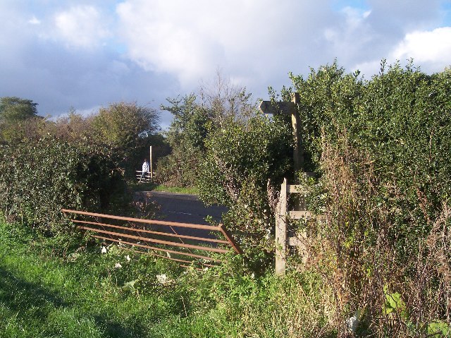
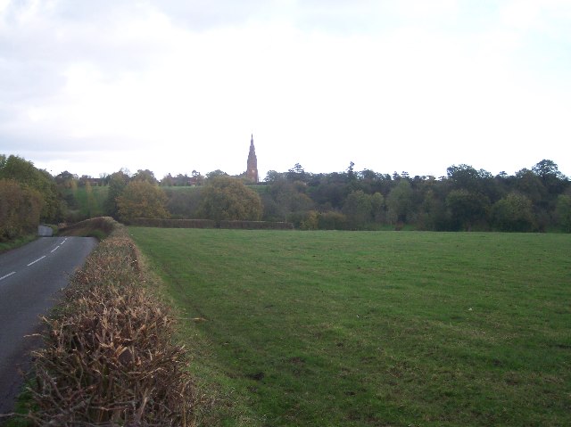
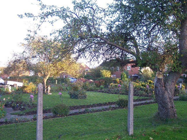
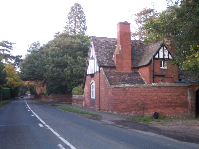
Hunting Grove Images

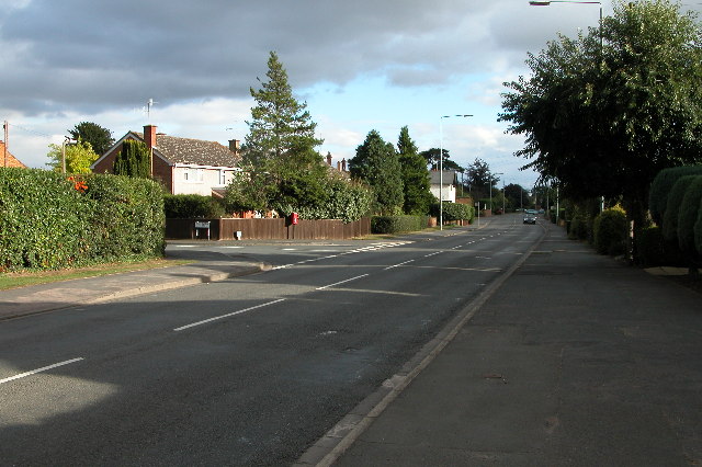
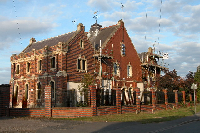
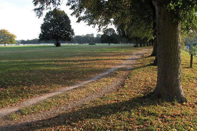
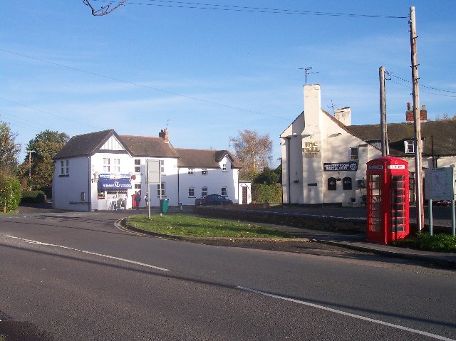
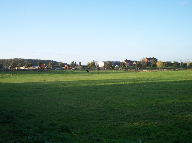
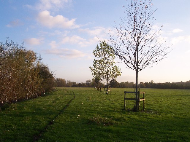
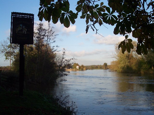
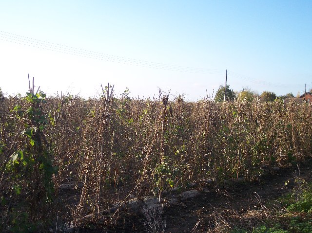
Images are sourced within 2km of 52.215337/-2.2475742 or Grid Reference SO8357. Thanks to Geograph Open Source API. All images are credited.

Hallow Road, Worcester The A443 Hallow Road, approaching Worcester from the north-west
Hallow Road, Worcester
The A443 Hallow Road, approaching Worcester from the north-west
Barbourne Pumping Station The former Barbourne water treatment works is now closed, the water tanks have been filled in and landscaped.
Barbourne Pumping Station
The former Barbourne water treatment works is now closed, the water tanks have been filled in and landscaped.
Worcester Racecourse Pitchcroft, Worcester's racecourse is on the banks of the river Severn and is subject to regular flooding.
Worcester Racecourse
Pitchcroft, Worcester's racecourse is on the banks of the river Severn and is subject to regular flooding.
Lower Broadheath Village Centre At the T junction there is the Broadheath Post Office and Stores and also the Bell public house.
Lower Broadheath Village Centre
At the T junction there is the Broadheath Post Office and Stores and also the Bell public house.
Footpath crossing the B4204 Between Laughernfield and Payes Heath Farm the footpath from Ambrose Farm to Eastbury Manor crosses.
Footpath crossing the B4204
Between Laughernfield and Payes Heath Farm the footpath from Ambrose Farm to Eastbury Manor crosses.
Hallow Church Spire Looking east across the fields and the steeply sided valley to the spire of the church of St Philip and St James.
Hallow Church Spire
Looking east across the fields and the steeply sided valley to the spire of the church of St Philip and St James.
Hallow C.E. Primary School Pretty victorian buildings
see <span class="nowrap"><a title="http://www.hallow.worcs.sch.uk/" rel="nofollow ugc noopener" href="http://www.hallow.worcs.sch.uk/">Link</a><img style="margin-left:2px;" alt="External link" title="External link - shift click to open in new window" src="https://s1.geograph.org.uk/img/external.png" width="10" height="10"/></span>
Hallow C.E. Primary School
Pretty victorian buildings see LinkExternal link
Hallow Heath Beautiful Gardens in this small housing estate in Hallow Heath - just north of the main part of the village of Hallow
Hallow Heath
Beautiful Gardens in this small housing estate in Hallow Heath - just north of the main part of the village of Hallow
Parkfield Lodge Looking north up the A443 St. Johns area of Worcester to Hallow road
Parkfield Lodge
Looking north up the A443 St. Johns area of Worcester to Hallow road
The Northwick The last of Worcester's cinemas to be built, the Northwick was built in 1938 to designs by John Alexander. Behind this plain facade is an extraordinary art deco interior which has recently been restored.
The Northwick
The last of Worcester's cinemas to be built, the Northwick was built in 1938 to designs by John Alexander. Behind this plain facade is an extraordinary art deco interior which has recently been restored.
Retreat Farm, Grimley On Camp Lane as viewed from the Camp public house by the river Severn. Looking north north west
Retreat Farm, Grimley
On Camp Lane as viewed from the Camp public house by the river Severn. Looking north north west
Young Trees  near Green Park Arboretum Planted between the river Severn and the millennium arboretum.
Young Trees near Green Park Arboretum
Planted between the river Severn and the millennium arboretum.
Bevere Island, River Severn from the Camp Inn Looking upstream to Bevere Island. On the right hand side there is a weir and on the left a lock.
Bevere Island, River Severn from the Camp Inn
Looking upstream to Bevere Island. On the right hand side there is a weir and on the left a lock.
Bean Field Opposite Hallow Church, thousands of bean sticks.
Bean Field
Opposite Hallow Church, thousands of bean sticks.
Hallow Church Viewed from the north as the west face is lit by the low late afternoon November sun.
Hallow Church
Viewed from the north as the west face is lit by the low late afternoon November sun.
Peacocks In the garden of a house close to the Camp Inn by the river Severn
Peacocks
In the garden of a house close to the Camp Inn by the river Severn
Bevere Lock A view from the footpath on the eastern side of the Severn
Bevere Lock
A view from the footpath on the eastern side of the Severn
The Swan Inn On the A38 Barbourne, Worcester
The Swan Inn
On the A38 Barbourne, Worcester
Show me another place!

Hunting Grove is located at Grid Ref: SO8357 (Lat: 52.215337, Lng: -2.2475742)

Administrative County: Worcestershire

District: Malvern Hills

Police Authority: West Mercia

What 3 Words

///likes.senses.jabs. Near Hallow, Worcestershire

Nearby Locations

Hunting Grove

Related Wikis

1 and 2 Tai Cochion

1 and 2 Tai Cochion consists of a pair of joined cottages in the village of Nannerch, Flintshire, Wales. Each of the cottages is designated by Cadw as...

Hallow, Worcestershire

Hallow is a village and civil parish beside the River Severn, about 2 miles (3.2 km) north-west of Worcester in Worcestershire. The village is on the A443...

Northwick, Worcestershire

Northwick is a district of Worcester, England, located in the north of the city on the left (east) bank of the River Severn. == History == Historically...

Gheluvelt Park, Worcester

Gheluvelt Park is a public park in Worcester, England, which opened on 17 June 1922 to commemorate the Worcestershire Regiment's 2nd Battalion after their...

Nearby Amenities

Located within 500m of 52.215337,-2.2475742
Bus Stop
Worcester- Hallow Road
Bus: yes
Naptan AtcoCode: 2000G502081
Naptan Bearing: SE
Naptan CommonName: Worcester- Hallow Road
Naptan Indicator: Adj
Naptan Landmark: Hallow Road
Naptan NaptanCode: wocgmpdg
Naptan PlusbusZoneRef: WORCSFS
Naptan Street: Hallow Road
Naptan Verified: no
Public Transport: platform
Source: naptan_import
Lat/Long: 52.2111042/-2.2486858
Bus Stop
Park Lane
Bus: yes
Naptan AtcoCode: 2000G502083
Naptan Bearing: N
Naptan CommonName: Park Lane
Naptan Crossing: Park Lane
Naptan Indicator: opp
Naptan NaptanCode: wocgmpdm
Naptan PlusbusZoneRef: WORCSFS
Naptan Verified: no
Public Transport: platform
Source: naptan_import
Lat/Long: 52.217311/-2.2513991
Bus Stop
Parkfield Lane
Bus: yes
Naptan AtcoCode: 2000G502762
Naptan Bearing: SE
Naptan CommonName: Parkfield Lane
Naptan Crossing: Parkfield Lane
Naptan Indicator: opp
Naptan NaptanCode: wocgjmja
Naptan PlusbusZoneRef: WORCSFS
Naptan Verified: no
Public Transport: platform
Source: naptan_import
Lat/Long: 52.2133494/-2.2498692
Bus Stop
Parkfield Lane
Bus: yes
Naptan AtcoCode: 2000G502763
Naptan Bearing: N
Naptan CommonName: Parkfield Lane
Naptan Crossing: Parkfield Lane
Naptan Indicator: adj
Naptan NaptanCode: wocgjmjd
Naptan PlusbusZoneRef: WORCSFS
Naptan Street: A443
Naptan Verified: no
Public Transport: platform
Source: naptan_import
Lat/Long: 52.2135915/-2.2501487
Bus Stop
Park Lane
Bus: yes
Naptan AtcoCode: 2000G502764
Naptan Bearing: S
Naptan CommonName: Park Lane
Naptan Indicator: adj
Naptan Landmark: Park Lane
Naptan NaptanCode: wocgdmpm
Naptan PlusbusZoneRef: WORCSFS
Naptan Verified: no
Public Transport: platform
Source: naptan_import
Lat/Long: 52.2167544/-2.251378
Post Box
Collection Times: Mo-Fr 17:00; Sa 08:30
Post Box Type: wall
Ref: WR2 101
Royal Cypher: VR
Royal Cypher Wikidata: Q33102356
Lat/Long: 52.2129198/-2.2498787
Barrier: kissing_gate
Foot: yes
Lat/Long: 52.2166253/-2.2409942
Location Transition: yes
Power: pole
Lat/Long: 52.2118578/-2.2518895
The data included in this document is from www.openstreetmap.org. The data is made available under ODbL.

Have you been to Hunting Grove?

Leave your review of Hunting Grove below (or comments, questions and feedback).