Collier's Wood

Wood, Forest in Gloucestershire Stroud

England

Collier's Wood

Stone Stile, Horsley Stile to Gloucestershire footpath MHO68, off a farm track looking SE. The view looking to the track is <a href="https://www.geograph.org.uk/photo/7067615">ST8398 : Stone Stile, Horsley</a>.
Stone Stile, Horsley Credit: Mr Red

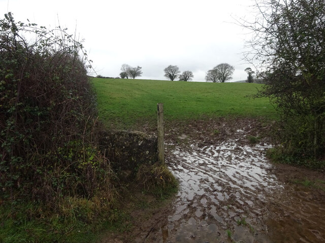
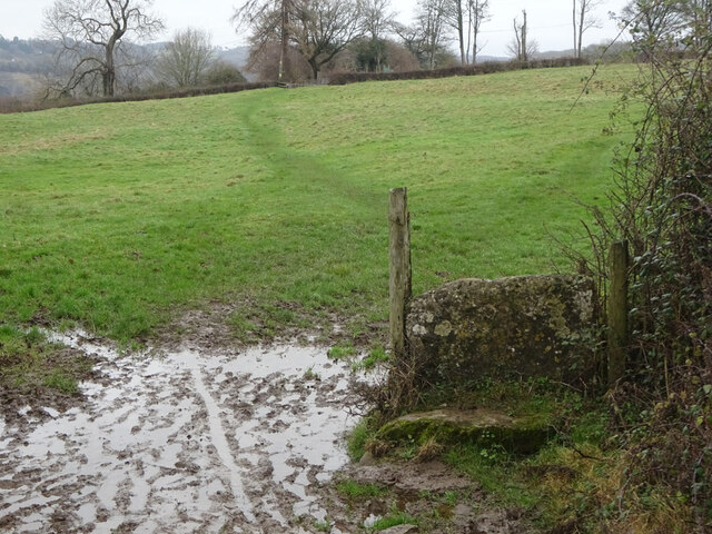
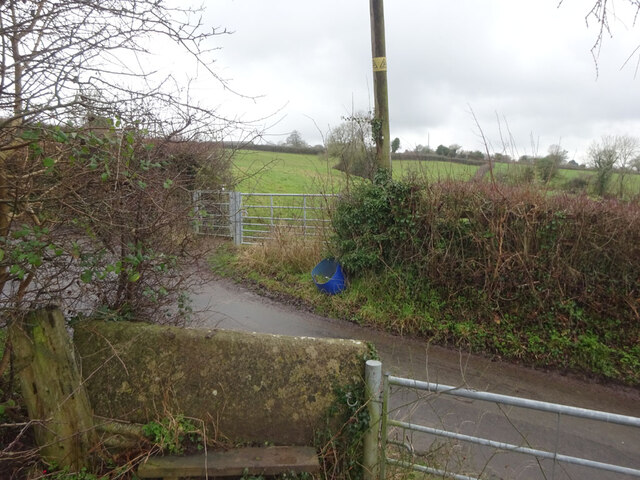
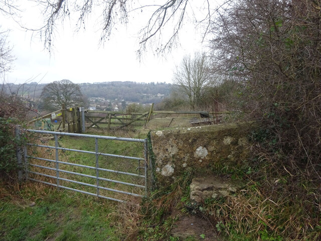
Collier's Wood is a small woodland area located in Gloucestershire, England. Situated near the village of Collier's End, it is known for its picturesque beauty and tranquil atmosphere. The wood covers an area of approximately 20 acres and is surrounded by lush green fields and farmland.

The wood is primarily composed of a mix of deciduous and coniferous trees, creating a diverse and vibrant ecosystem. Oak, beech, and birch trees dominate the wood, providing a rich canopy that offers shade and shelter to a variety of wildlife.

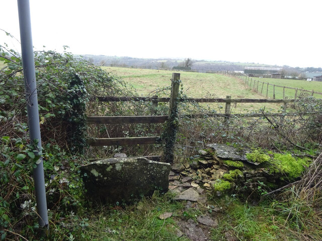
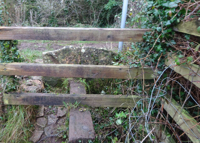
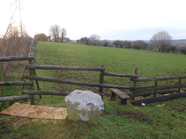
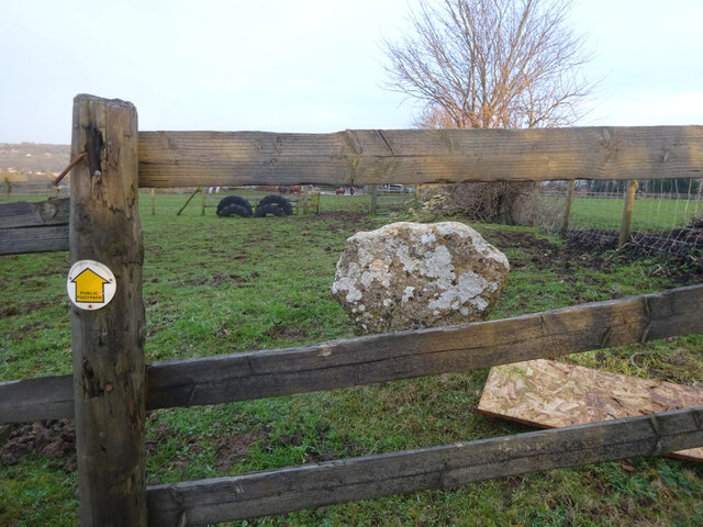
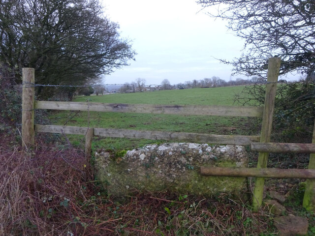
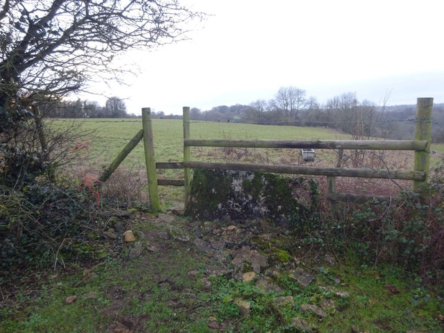
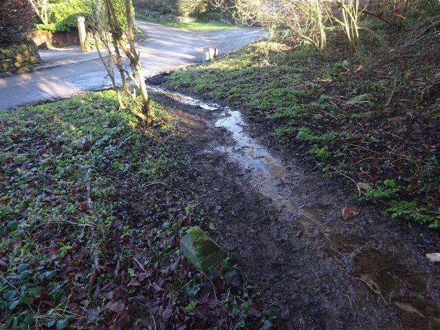
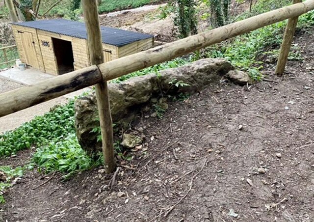
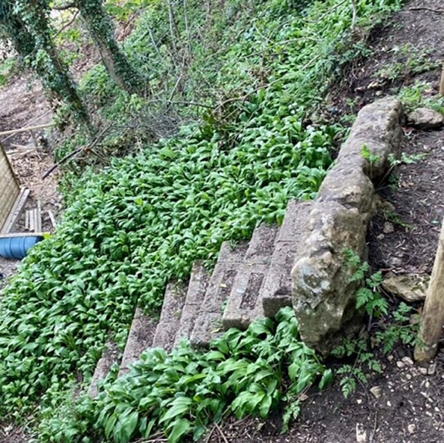
Visitors to Collier's Wood can enjoy a peaceful stroll along the well-maintained footpaths that wind through the woodland. These paths offer breathtaking views of the surrounding countryside and allow visitors to immerse themselves in nature. The wood is also home to a small stream that adds to the tranquility of the area.

Nature enthusiasts will find a wealth of wildlife in Collier's Wood. Deer, foxes, and numerous bird species can often be spotted amongst the trees, making it an ideal location for birdwatching or wildlife photography.

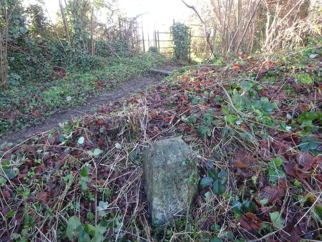
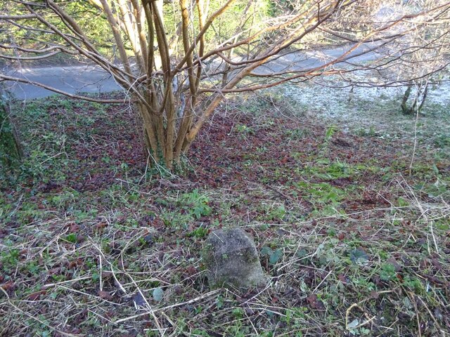
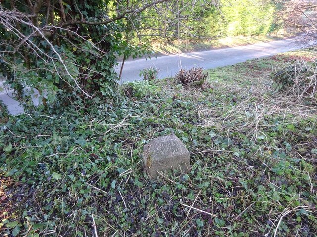
Collier's Wood has a rich history, with evidence of human activity dating back centuries. Archaeological finds suggest that the wood was once used for charcoal production, hence its name. The remnants of old charcoal pits can still be seen within the wood, providing a glimpse into its past.

Overall, Collier's Wood is a hidden gem in Gloucestershire, offering a peaceful and beautiful escape from the hustle and bustle of everyday life. Whether it be for a leisurely walk, wildlife spotting, or simply enjoying the serenity of nature, this woodland is a cherished retreat for locals and tourists alike.

If you have any feedback on the listing, please let us know in the comments section below.

Collier's Wood Images

Images are sourced within 2km of 51.704166/-2.2480128 or Grid Reference SO8200. Thanks to Geograph Open Source API. All images are credited.

Stone Stile, Horsley Stile to Gloucestershire footpath MHO68, off a farm track looking SE. The view looking to the track is <a href="https://www.geograph.org.uk/photo/7067615">ST8398 : Stone Stile, Horsley</a>.
Stone Stile, Horsley
Stile to Gloucestershire footpath MHO68, off a farm track looking SE. The view looking to the track is ST8398 : Stone Stile, Horsley.
Stone Stile, Horsley Stile to Gloucestershire footpath MHO68, looking NW to a farm track. The view looking from the track is <a href="https://www.geograph.org.uk/photo/7067609">ST8398 : Stone Stile, Horsley</a>.
Stone Stile, Horsley
Stile to Gloucestershire footpath MHO68, looking NW to a farm track. The view looking from the track is ST8398 : Stone Stile, Horsley.
Stone Stile, Nailsworth On Gloucestershire footpath ZNA19 looking West. The view looking East is <a href="https://www.geograph.org.uk/photo/7067668">ST8499 : Stone Stile, Nailsworth</a>. The gap is the source of a spring running downhill to the right.
Stone Stile, Nailsworth
On Gloucestershire footpath ZNA19 looking West. The view looking East is ST8499 : Stone Stile, Nailsworth. The gap is the source of a spring running downhill to the right.
Stone Stile, Nailsworth On Gloucestershire footpath ZNA19 looking East. The view looking West is <a href="https://www.geograph.org.uk/photo/7067662">ST8499 : Stone Stile, Nailsworth</a>. The gap is the source of a spring running downhill to the left.
Stone Stile, Nailsworth
On Gloucestershire footpath ZNA19 looking East. The view looking West is ST8499 : Stone Stile, Nailsworth. The gap is the source of a spring running downhill to the left.
Stone Stile, Nailsworth To the North of "Cleves" on Gloucestershire footpath ZNA20. The view from the road is <a href="https://www.geograph.org.uk/photo/7067716">ST8499 : Stone Stile, Nailsworth</a>.
Stone Stile, Nailsworth
To the North of "Cleves" on Gloucestershire footpath ZNA20. The view from the road is ST8499 : Stone Stile, Nailsworth.
Stone Stile, Nailsworth To the North of "Cleves" on Gloucestershire footpath ZNA20. The view from the field is <a href="https://www.geograph.org.uk/photo/7067714">ST8499 : Stone Stile, Nailsworth</a>.
Stone Stile, Nailsworth
To the North of "Cleves" on Gloucestershire footpath ZNA20. The view from the field is ST8499 : Stone Stile, Nailsworth.
Stone Stile, Nailsworth Private "gap in the wall" stile off Gloucestershire footpath ZNA18. There is a door to a subsequently built shed coincident with it, obviously intended as an emergency exit.
Stone Stile, Nailsworth
Private "gap in the wall" stile off Gloucestershire footpath ZNA18. There is a door to a subsequently built shed coincident with it, obviously intended as an emergency exit.
Stone Stile, Horsley At a field boundary of Gate Willow Stables. On Gloucestershire footpath MHO9 looking West. The view East is <a href="https://www.geograph.org.uk/photo/7067777">ST8398 : Stone Stile, Horsley</a>.
Stone Stile, Horsley
At a field boundary of Gate Willow Stables. On Gloucestershire footpath MHO9 looking West. The view East is ST8398 : Stone Stile, Horsley.
Stone Stile, Horsley At a field boundary of Gate Willow Stables. On Gloucestershire footpath MHO9 looking East. The view West is <a href="https://www.geograph.org.uk/photo/7067774">ST8398 : Stone Stile, Horsley</a>.
Stone Stile, Horsley
At a field boundary of Gate Willow Stables. On Gloucestershire footpath MHO9 looking East. The view West is ST8398 : Stone Stile, Horsley.
Stone Stile, Horsley On the Gate Willow Stables land. Stile between horse field and cattle field. Part of Gloucestershire footpath MHO9 looking NW. The view from the cattle field looking SE is <a href="https://www.geograph.org.uk/photo/7067790">ST8398 : Stone Stile, Horsley</a>.
Stone Stile, Horsley
On the Gate Willow Stables land. Stile between horse field and cattle field. Part of Gloucestershire footpath MHO9 looking NW. The view from the cattle field looking SE is ST8398 : Stone Stile, Horsley.
Stone Stile, Horsley On the Gate Willow Stables land. Stile between horse field and cattle field. Part of Gloucestershire footpath MHO9 looking SE to cattle country. The view from the horse field looking NW is <a href="https://www.geograph.org.uk/photo/7067788">ST8398 : Stone Stile, Horsley</a>.
Stone Stile, Horsley
On the Gate Willow Stables land. Stile between horse field and cattle field. Part of Gloucestershire footpath MHO9 looking SE to cattle country. The view from the horse field looking NW is ST8398 : Stone Stile, Horsley.
Boundary Stone, Shortwood, Nailsworth This concrete post is one of 5 on a section of land with Gloucestershire footpaths MHO10 & MHO12 at the apex . It is probably designated as part of the highway. It marks the boundary between Nailsworth town and Horsley parish. It was moved to its current field boundary position from the line of the road in 1935. Similar posts are <a title="https://www.geograph.org.uk/photo/7070612" href="https://www.geograph.org.uk/photo/7070612">Link</a> & <a title="https://www.geograph.org.uk/photo/7070608" href="https://www.geograph.org.uk/photo/7070608">Link</a> & <a title="https://www.geograph.org.uk/photo/7070604" href="https://www.geograph.org.uk/photo/7070604">Link</a> & <a title="https://www.geograph.org.uk/photo/7070601" href="https://www.geograph.org.uk/photo/7070601">Link</a>

Milestone Society National ID: GL_HORNAI05pb
Boundary Stone, Shortwood, Nailsworth
This concrete post is one of 5 on a section of land with Gloucestershire footpaths MHO10 & MHO12 at the apex . It is probably designated as part of the highway. It marks the boundary between Nailsworth town and Horsley parish. It was moved to its current field boundary position from the line of the road in 1935. Similar posts are Link & Link & Link & Link Milestone Society National ID: GL_HORNAI05pb
Boundary Stone, Shortwood, Nailsworth This concrete post is one of 5 on a section of land with Gloucestershire footpaths MHO10 & MHO12 at the apex . It is probably designated as part of the highway. It marks the boundary between Nailsworth town and Horsley parish. It was moved to its current field boundary position from the line of the road in 1935. Similar posts are <a title="https://www.geograph.org.uk/photo/7070612" href="https://www.geograph.org.uk/photo/7070612">Link</a> & <a title="https://www.geograph.org.uk/photo/7070608" href="https://www.geograph.org.uk/photo/7070608">Link</a> & <a title="https://www.geograph.org.uk/photo/7070604" href="https://www.geograph.org.uk/photo/7070604">Link</a> & <a title="https://www.geograph.org.uk/photo/7070598" href="https://www.geograph.org.uk/photo/7070598">Link</a> 

Milestone Society National ID: GL_HORNAI04pb
Boundary Stone, Shortwood, Nailsworth
This concrete post is one of 5 on a section of land with Gloucestershire footpaths MHO10 & MHO12 at the apex . It is probably designated as part of the highway. It marks the boundary between Nailsworth town and Horsley parish. It was moved to its current field boundary position from the line of the road in 1935. Similar posts are Link & Link & Link & Link Milestone Society National ID: GL_HORNAI04pb
Boundary Stone, Shortwood, Nailsworth This concrete post is one of 5 on a section of land with Gloucestershire footpaths MHO10 & MHO12 at the apex . It is probably designated as part of the highway. It marks the boundary between Nailsworth town and Horsley parish. It was moved to its current field boundary position from the line of the road in 1935. Similar posts are <a title="https://www.geograph.org.uk/photo/7070612" href="https://www.geograph.org.uk/photo/7070612">Link</a> & <a title="https://www.geograph.org.uk/photo/7070608" href="https://www.geograph.org.uk/photo/7070608">Link</a> & <a title="https://www.geograph.org.uk/photo/7070601" href="https://www.geograph.org.uk/photo/7070601">Link</a> & <a title="https://www.geograph.org.uk/photo/7070598" href="https://www.geograph.org.uk/photo/7070598">Link</a> 

Milestone Society National ID: GL_HORNAI03pb
Boundary Stone, Shortwood, Nailsworth
This concrete post is one of 5 on a section of land with Gloucestershire footpaths MHO10 & MHO12 at the apex . It is probably designated as part of the highway. It marks the boundary between Nailsworth town and Horsley parish. It was moved to its current field boundary position from the line of the road in 1935. Similar posts are Link & Link & Link & Link Milestone Society National ID: GL_HORNAI03pb
Boundary Stone, Shortwood, Nailsworth This concrete post is one of 5 on a section of land with Gloucestershire footpaths MHO10 & MHO12 at the apex . It is probably designated as part of the highway. It marks the boundary between Nailsworth town and Horsley parish. It was moved to its current field boundary position from the line of the road in 1935. Similar posts are <a title="https://www.geograph.org.uk/photo/7070612" href="https://www.geograph.org.uk/photo/7070612">Link</a> & <a title="https://www.geograph.org.uk/photo/7070604" href="https://www.geograph.org.uk/photo/7070604">Link</a> & <a title="https://www.geograph.org.uk/photo/7070601" href="https://www.geograph.org.uk/photo/7070601">Link</a> & <a title="https://www.geograph.org.uk/photo/7070598" href="https://www.geograph.org.uk/photo/7070598">Link</a> 

Milestone Society National ID: GL_HORNAI02pb
Boundary Stone, Shortwood, Nailsworth
This concrete post is one of 5 on a section of land with Gloucestershire footpaths MHO10 & MHO12 at the apex . It is probably designated as part of the highway. It marks the boundary between Nailsworth town and Horsley parish. It was moved to its current field boundary position from the line of the road in 1935. Similar posts are Link & Link & Link & Link Milestone Society National ID: GL_HORNAI02pb
Boundary Stone, Shortwood, Nailsworth This concrete post is one of 5 on a section of land with Gloucestershire footpaths MHO10 & MHO12 at the apex . It is probably designated as part of the highway. It marks the boundary between Nailsworth town and Horsley parish. It was moved to its current field boundary position from the line of the road in 1935. Similar posts are <a title="https://www.geograph.org.uk/photo/7070608" href="https://www.geograph.org.uk/photo/7070608">Link</a> & <a title="https://www.geograph.org.uk/photo/7070604" href="https://www.geograph.org.uk/photo/7070604">Link</a> & <a title="https://www.geograph.org.uk/photo/7070601" href="https://www.geograph.org.uk/photo/7070601">Link</a> & <a title="https://www.geograph.org.uk/photo/7070598" href="https://www.geograph.org.uk/photo/7070598">Link</a> 

Milestone Society National ID: GL_HORNAI01pb
Boundary Stone, Shortwood, Nailsworth
This concrete post is one of 5 on a section of land with Gloucestershire footpaths MHO10 & MHO12 at the apex . It is probably designated as part of the highway. It marks the boundary between Nailsworth town and Horsley parish. It was moved to its current field boundary position from the line of the road in 1935. Similar posts are Link & Link & Link & Link Milestone Society National ID: GL_HORNAI01pb
Stone Stile, Forest Green Adjacent to Gloucestershire footpath ZNA88, probably a private entrance to what was a quarry in ancient times. South of the football stadium. Looking in a Southerly direction, the alternative view looking SW is <a href="https://www.geograph.org.uk/photo/7211833">ST8399 : Stone Stile, Forest Green</a>.
Stone Stile, Forest Green
Adjacent to Gloucestershire footpath ZNA88, probably a private entrance to what was a quarry in ancient times. South of the football stadium. Looking in a Southerly direction, the alternative view looking SW is ST8399 : Stone Stile, Forest Green.
Stone Stile, Forest Green Adjacent to Gloucestershire footpath ZNA88, probably a private entrance to what was a quarry in ancient times. South of the football stadium. Looking in a SW direction, the alternative view looking South is <a href="https://www.geograph.org.uk/photo/7211830">ST8399 : Stone Stile, Forest Green</a>.
Stone Stile, Forest Green
Adjacent to Gloucestershire footpath ZNA88, probably a private entrance to what was a quarry in ancient times. South of the football stadium. Looking in a SW direction, the alternative view looking South is ST8399 : Stone Stile, Forest Green.
Show me another place!

Collier's Wood is located at Grid Ref: SO8200 (Lat: 51.704166, Lng: -2.2480128)

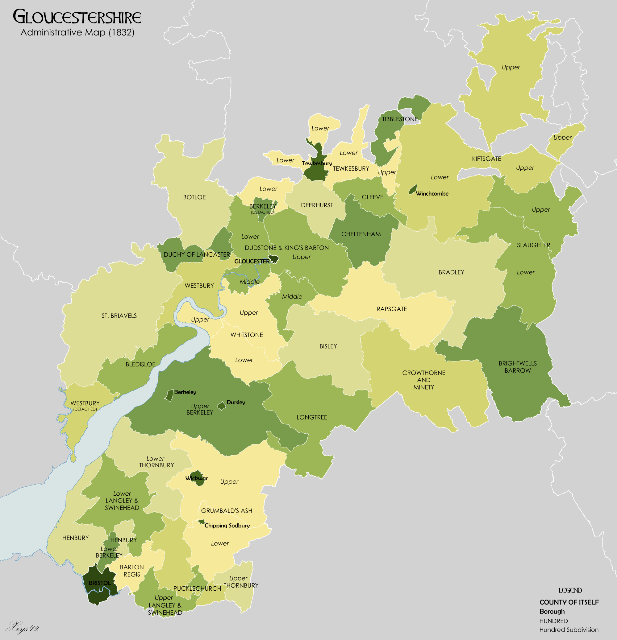
Administrative County: Gloucestershire

District: Stroud

Police Authority: Gloucestershire

What 3 Words

///applied.sweetly.relegate. Near Nailsworth, Gloucestershire

Related Wikis

The New Lawn

The New Lawn, also known as The Bolt New Lawn for sponsorship reasons, is a football stadium in Nailsworth, Gloucestershire. It has been the home stadium...

The Lawn Ground

The Lawn Ground was located in Nailsworth, Gloucestershire, England, and was, from 1890 to 2006, home to the English football club, Forest Green Rovers...

Convent of Poor Clares, Woodchester

A former Convent of Poor Clares is located in Woodchester, near Stroud in Gloucestershire. The convent was home to nuns of the Poor Clares order from 1850...

Whitstone Hundred

Whitstone was an ancient hundred of Gloucestershire, England. From the 13th century it comprised two adjacent divisions, which included the ancient parishes...

Newmarket, Gloucestershire

Newmarket is a hamlet in the parish of Horsley, Gloucestershire, England. == References ==

Shortwood United F.C.

Shortwood United Football Club is a football club based in Nailsworth, Gloucestershire, England. The club are currently members of the Hellenic League...

Woodchester

Woodchester is a Gloucestershire village in the Nailsworth (or Woodchester) Valley, a valley in the South Cotswolds in England, running southwards from...

Neu-Lindsey Nature Reserve

Neu-Lindsey Nature Reserve (grid reference SO845014) is a 0.4-hectare (0.99-acre) nature reserve in Gloucestershire. The site is listed in the ‘Stroud...

Nearby Amenities

Located within 500m of 51.704166,-2.2480128
Natural: spring
Lat/Long: 51.7063539/-2.2440266
The data included in this document is from www.openstreetmap.org. The data is made available under ODbL.

Have you been to Collier's Wood?

Leave your review of Collier's Wood below (or comments, questions and feedback).