Pontin's Plantation

Wood, Forest in Gloucestershire Stroud

England

Pontin's Plantation

Stone Stile, Forest Green Adjacent to Gloucestershire footpath ZNA88, probably a private entrance to what was a quarry in ancient times. South of the football stadium. Looking in a Southerly direction, the alternative view looking SW is <a href="https://www.geograph.org.uk/photo/7211833">ST8399 : Stone Stile, Forest Green</a>.
Stone Stile, Forest Green Credit: Ian M Bryant

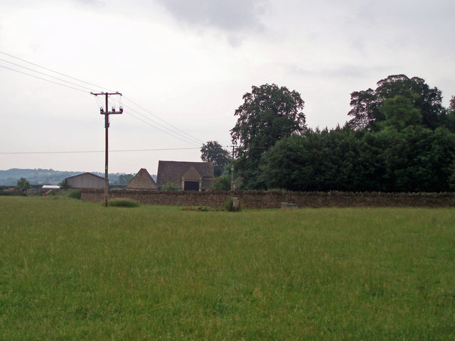
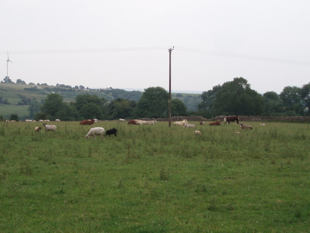
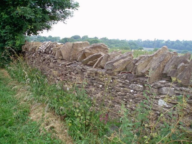
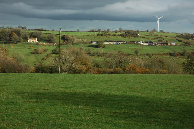
Pontin's Plantation is a picturesque woodland located in Gloucestershire, England. Covering a vast area, it is one of the largest plantations in the county. The plantation is known for its dense forest and natural beauty, attracting both locals and tourists alike.

The woodland features a diverse range of tree species, including oak, beech, and pine. These towering trees create a dense canopy, providing shelter and a habitat for various wildlife species. Visitors can spot a wide array of birds, such as woodpeckers, owls, and songbirds, as well as small mammals like squirrels and rabbits.

Pontin's Plantation offers an immersive nature experience, with numerous walking trails and paths winding through the forest. These trails allow visitors to explore the woodland at their own pace, surrounded by the tranquil ambiance of nature. The plantation is particularly popular among hikers, nature enthusiasts, and families looking for a peaceful retreat.

In addition to its natural beauty, Pontin's Plantation also offers recreational activities for visitors. The plantation features picnic areas and designated spots for camping, allowing visitors to enjoy a day out or a longer stay in the heart of the forest. The plantation also hosts seasonal events and activities, such as guided nature walks, educational programs, and outdoor workshops.

Overall, Pontin's Plantation in Gloucestershire is a haven for nature lovers, offering a serene and stunning woodland environment where visitors can reconnect with nature and enjoy a range of outdoor activities.

If you have any feedback on the listing, please let us know in the comments section below.

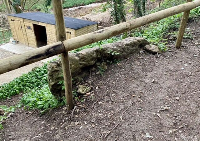
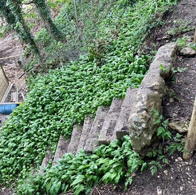
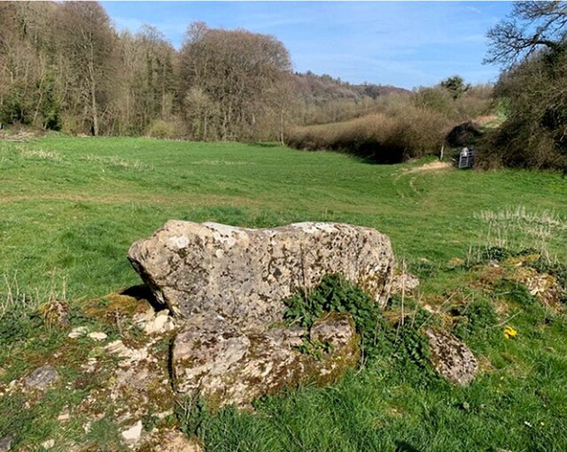
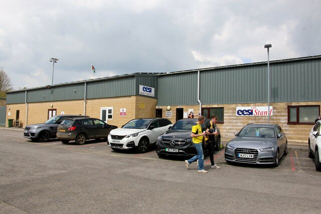
Pontin's Plantation Images

Images are sourced within 2km of 51.707144/-2.259679 or Grid Reference SO8200. Thanks to Geograph Open Source API. All images are credited.

Stone Stile, Forest Green Adjacent to Gloucestershire footpath ZNA88, probably a private entrance to what was a quarry in ancient times. South of the football stadium. Looking in a Southerly direction, the alternative view looking SW is <a href="https://www.geograph.org.uk/photo/7211833">ST8399 : Stone Stile, Forest Green</a>.
Stone Stile, Forest Green
Adjacent to Gloucestershire footpath ZNA88, probably a private entrance to what was a quarry in ancient times. South of the football stadium. Looking in a Southerly direction, the alternative view looking SW is ST8399 : Stone Stile, Forest Green.
Stone Stile, Forest Green Adjacent to Gloucestershire footpath ZNA88, probably a private entrance to what was a quarry in ancient times. South of the football stadium. Looking in a SW direction, the alternative view looking South is <a href="https://www.geograph.org.uk/photo/7211830">ST8399 : Stone Stile, Forest Green</a>.
Stone Stile, Forest Green
Adjacent to Gloucestershire footpath ZNA88, probably a private entrance to what was a quarry in ancient times. South of the football stadium. Looking in a SW direction, the alternative view looking South is ST8399 : Stone Stile, Forest Green.
Stone Stile, Lower Lutheridge Farm GS1414 On Gloucestershire footpath CNY13, near Lower Lutheridge Farm, Horsley.
Stone Stile, Lower Lutheridge Farm GS1414
On Gloucestershire footpath CNY13, near Lower Lutheridge Farm, Horsley.
Stone Stile, Nympsfield On Gloucestershire footpath CNY13 looking West in the direction of Nympsfield.
Stone Stile, Nympsfield
On Gloucestershire footpath CNY13 looking West in the direction of Nympsfield.
Stone Stile, Nympsfield A "Fallen Idle" on Gloucestershire footpath CNY13 looking East. A large slab left to stabalise the ground at the field boundary/stile.
Stone Stile, Nympsfield
A "Fallen Idle" on Gloucestershire footpath CNY13 looking East. A large slab left to stabalise the ground at the field boundary/stile.
The dressing room entrance at the New Lawn Stadium The New Lawn Stadium is home to Forest Green Rovers.
The dressing room entrance at the New Lawn Stadium
The New Lawn Stadium is home to Forest Green Rovers.
The rear of the South Stand at the New Lawn Stadium The New Lawn Stadium is home to Forest Green Rovers.
The rear of the South Stand at the New Lawn Stadium
The New Lawn Stadium is home to Forest Green Rovers.
Stone Stile, Horsley NE of Sally Wood Farm on Gloucestershire footpath MHO9 looking SE.
Stone Stile, Horsley
NE of Sally Wood Farm on Gloucestershire footpath MHO9 looking SE.
Field Farm The main building of Field Farm is nestled behind the trees, not visible to the passer-by.  This photograph shows the outbuildings and wall which surrounds the farm complex.
Field Farm
The main building of Field Farm is nestled behind the trees, not visible to the passer-by. This photograph shows the outbuildings and wall which surrounds the farm complex.
Livestock scene A mixture of cattle and goats in this field on the outskirts of Nympsfield.  The windmill on Lynch Knoll can be seen in the far left corner of the photograph.
Livestock scene
A mixture of cattle and goats in this field on the outskirts of Nympsfield. The windmill on Lynch Knoll can be seen in the far left corner of the photograph.
Dry stone wall These dry stone walls are made of oolitic limestone (Cotswold stone) and are in good condition compared to many.
Dry stone wall
These dry stone walls are made of oolitic limestone (Cotswold stone) and are in good condition compared to many.
Countryside near Sallywood Farm A view along the southern edge of the square, taken from a meadow beside the restricted byway between Upper and Lower Lutheredge Farms. The valley is a tributary of the Miry Brook. The farm in the distance is Twatley.
Countryside near Sallywood Farm
A view along the southern edge of the square, taken from a meadow beside the restricted byway between Upper and Lower Lutheredge Farms. The valley is a tributary of the Miry Brook. The farm in the distance is Twatley.
Footpath through High Wood This attractive path was within earshot of the nearby Forest Green Rovers ground.
Footpath through High Wood
This attractive path was within earshot of the nearby Forest Green Rovers ground.
Farmland near Upper Lutheridge Farm Farmland between Upper Lutheridge Farm and Lower Lutheridge Farm near Horsley.
Farmland near Upper Lutheridge Farm
Farmland between Upper Lutheridge Farm and Lower Lutheridge Farm near Horsley.
Tree at Lower Lutheridge Farm Afternoon sun highlighting the golden leaves on a tree at Lower Lutheridge Farm.
Tree at Lower Lutheridge Farm
Afternoon sun highlighting the golden leaves on a tree at Lower Lutheridge Farm.
Valley at Shortwood Low afternoon sun highlighting the autumn colours near Shortwood.
Valley at Shortwood
Low afternoon sun highlighting the autumn colours near Shortwood.
Farmland at Nympsfield View across a valley to the wind turbine on Lynch Knoll.
Farmland at Nympsfield
View across a valley to the wind turbine on Lynch Knoll.
Field gateway A field gateway near Field Farm to the south-east of Nympsfield.
Field gateway
A field gateway near Field Farm to the south-east of Nympsfield.
Show me another place!

Pontin's Plantation is located at Grid Ref: SO8200 (Lat: 51.707144, Lng: -2.259679)

Administrative County: Gloucestershire

District: Stroud

Police Authority: Gloucestershire

What 3 Words

///outpost.twit.promising. Near Nailsworth, Gloucestershire

Related Wikis

Easter Park Farm Quarry

Easter Park Farm Quarry (grid reference SO810009) is a 0.15-hectare (0.37-acre) geological Site of Special Scientific Interest in Gloucestershire, notified...

Woodchester Park SSSI

Woodchester Park (grid reference SO820014) is a 214.9-hectare (531-acre) biological Site of Special Scientific Interest in Gloucestershire, notified in...

The New Lawn

The New Lawn, also known as The Bolt New Lawn for sponsorship reasons, is a football stadium in Nailsworth, Gloucestershire. It has been the home stadium...

Convent of Poor Clares, Woodchester

A former Convent of Poor Clares is located in Woodchester, near Stroud in Gloucestershire. The convent was home to nuns of the Poor Clares order from 1850...

Nympsfield

Nympsfield is a village and civil parish in the English county of Gloucestershire. It is located around four miles south-west of the town of Stroud. As...

The Lawn Ground

The Lawn Ground was located in Nailsworth, Gloucestershire, England, and was, from 1890 to 2006, home to the English football club, Forest Green Rovers...

Woodchester

Woodchester is a Gloucestershire village in the Nailsworth (or Woodchester) Valley, a valley in the South Cotswolds in England, running southwards from...

Shortwood United F.C.

Shortwood United Football Club is a football club based in Nailsworth, Gloucestershire, England. The club are currently members of the Hellenic League...

Nearby Amenities

Located within 500m of 51.707144,-2.259679
Noexit: yes
Note: Track appears to end here. Possibly a turning point for vehicles previously
Lat/Long: 51.7062785/-2.2568601
Noexit: yes
Note: This track goes no further. It is used by the National Trust for parking/storing works vehicles.
Lat/Long: 51.7099617/-2.2547209
Barrier: kissing_gate
Lat/Long: 51.7102771/-2.2631584
The data included in this document is from www.openstreetmap.org. The data is made available under ODbL.

Have you been to Pontin's Plantation?

Leave your review of Pontin's Plantation below (or comments, questions and feedback).