The Triangle Covert

Wood, Forest in Staffordshire South Staffordshire

England

The Triangle Covert

In Lealans Garden Centre near Shipley, Shropshire This is a family owned independent garden centre and nursery, well worth a visit. There are two other garden centres nearby on the A454, but if what you really want is plants and garden equipment rather than posh department store type general "stuff" and expensive peripherals, check out the prices, and friendly service here.
In Lealans Garden Centre near Shipley, Shropshire Credit: Roger D Kidd

The requested URL returned error: 429 Too Many Requests

If you have any feedback on the listing, please let us know in the comments section below.

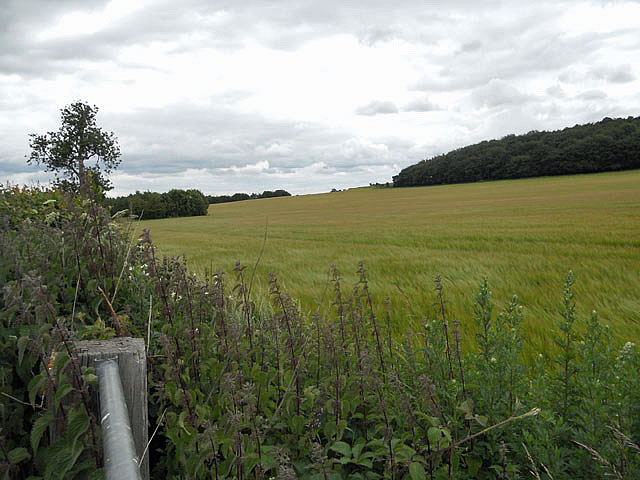
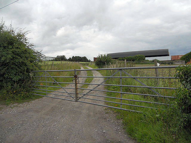
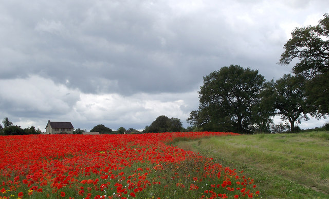
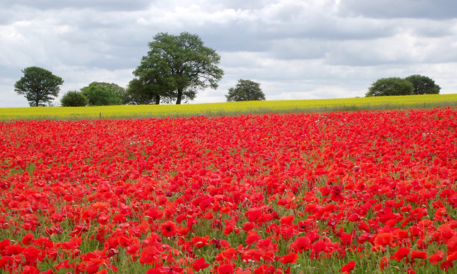
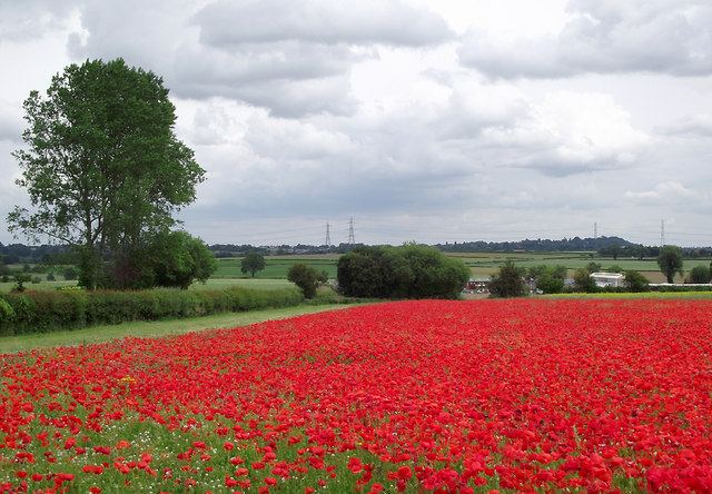
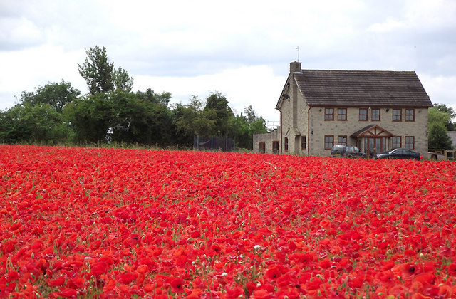
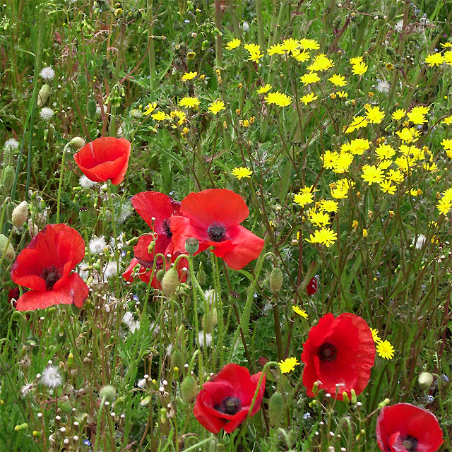
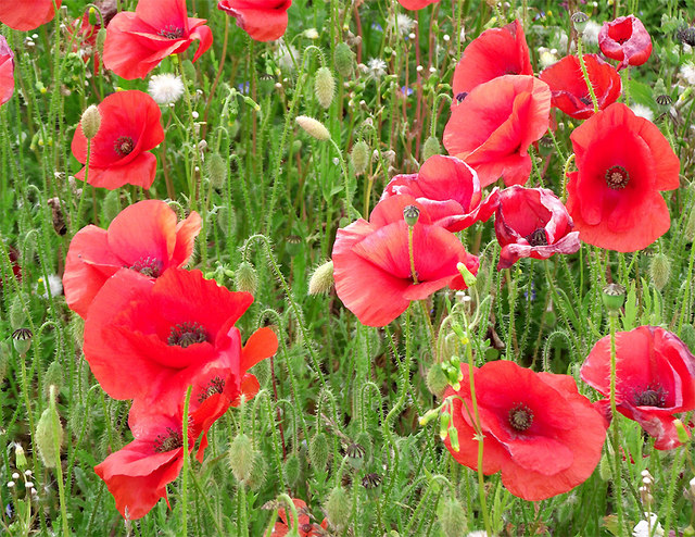
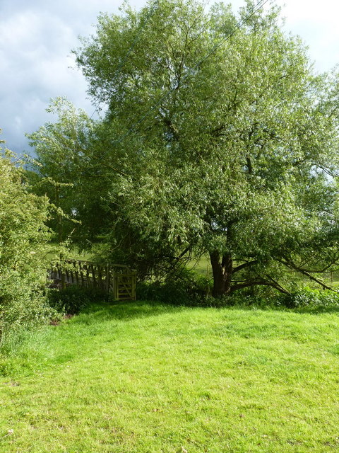
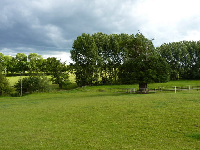
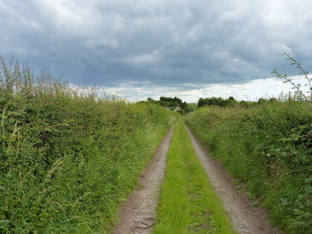
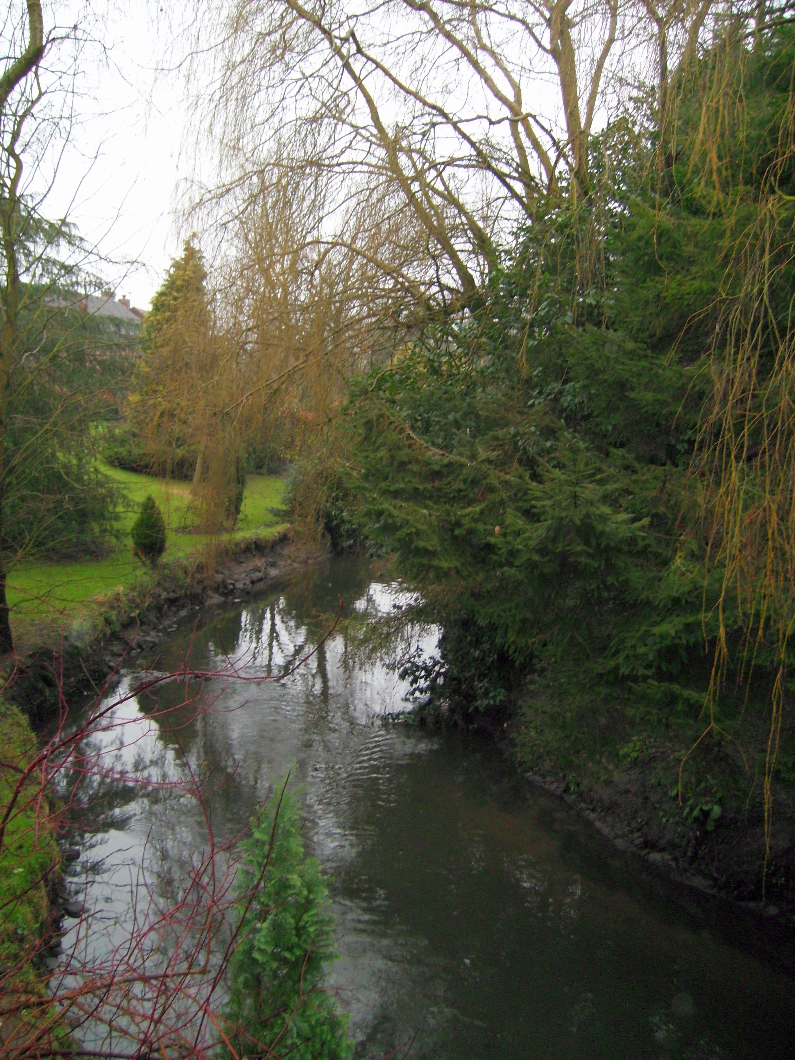
The Triangle Covert Images

Images are sourced within 2km of 52.568654/-2.2534267 or Grid Reference SO8296. Thanks to Geograph Open Source API. All images are credited.

In Lealans Garden Centre near Shipley, Shropshire This is a family owned independent garden centre and nursery, well worth a visit. There are two other garden centres nearby on the A454, but if what you really want is plants and garden equipment rather than posh department store type general "stuff" and expensive peripherals, check out the prices, and friendly service here.
In Lealans Garden Centre near Shipley, Shropshire
This is a family owned independent garden centre and nursery, well worth a visit. There are two other garden centres nearby on the A454, but if what you really want is plants and garden equipment rather than posh department store type general "stuff" and expensive peripherals, check out the prices, and friendly service here.
Cereals waving in the breeze
Gated farm access at Trescott
Poppy field near Seisdon, Staffordshire This is by the A454 Wolverhampton to Bridgnorth road opposite Lealans Garden centre. The view was so eye-catching that motorists were pulling onto the grass verge in order to stare at the display. This image is not the best of it. Take a look at <a href="https://www.geograph.org.uk/photo/2476326">SO8396 : Poppy field near Seisdon, Staffordshire</a>

<a href="https://www.geograph.org.uk/photo/2476374">SO8396 : Wild flowers near Seisdon, Staffordshire</a>
<a href="https://www.geograph.org.uk/photo/2476378">SO8396 : Poppies near Seisdon, Staffordshire</a>
Poppy field near Seisdon, Staffordshire
This is by the A454 Wolverhampton to Bridgnorth road opposite Lealans Garden centre. The view was so eye-catching that motorists were pulling onto the grass verge in order to stare at the display. This image is not the best of it. Take a look at SO8396 : Poppy field near Seisdon, Staffordshire SO8396 : Wild flowers near Seisdon, Staffordshire SO8396 : Poppies near Seisdon, Staffordshire
Poppy field near Seisdon, Staffordshire This is by the A454 Wolverhampton to Bridgnorth road opposite Lealans Garden centre. The view was so eye-catching that motorists were pulling onto the grass verge in order to stand and stare at the display.

<a href="https://www.geograph.org.uk/photo/2476374">SO8396 : Wild flowers near Seisdon, Staffordshire</a>
<a href="https://www.geograph.org.uk/photo/2476378">SO8396 : Poppies near Seisdon, Staffordshire</a>
Poppy field near Seisdon, Staffordshire
This is by the A454 Wolverhampton to Bridgnorth road opposite Lealans Garden centre. The view was so eye-catching that motorists were pulling onto the grass verge in order to stand and stare at the display. SO8396 : Wild flowers near Seisdon, Staffordshire SO8396 : Poppies near Seisdon, Staffordshire
Farmland with poppies near Seisdon, Staffordshire This is by the A454 Wolverhampton to Bridgnorth road opposite Lealans Garden centre. The road is behind the hedge on the left. Beyond the end of this field is the Pavilion Garden Store. The view was so eye-catching that motorists were pulling onto the grass verge in order to stare at the display. <a href="https://www.geograph.org.uk/photo/2476326">SO8396 : Poppy field near Seisdon, Staffordshire</a>

<a href="https://www.geograph.org.uk/photo/2476378">SO8396 : Poppies near Seisdon, Staffordshire</a>
<a href="https://www.geograph.org.uk/photo/2476374">SO8396 : Wild flowers near Seisdon, Staffordshire</a>
Farmland with poppies near Seisdon, Staffordshire
This is by the A454 Wolverhampton to Bridgnorth road opposite Lealans Garden centre. The road is behind the hedge on the left. Beyond the end of this field is the Pavilion Garden Store. The view was so eye-catching that motorists were pulling onto the grass verge in order to stare at the display. SO8396 : Poppy field near Seisdon, Staffordshire SO8396 : Poppies near Seisdon, Staffordshire SO8396 : Wild flowers near Seisdon, Staffordshire
Poppyfield and farmhouse near Seisdon, Staffordshire This is Birches Farm by the A454 Wolverhampton to Bridgnorth road opposite Lealans Garden centre. The view was so eye-catching that motorists were pulling onto the grass verge in order to stare at the display.

<a href="https://www.geograph.org.uk/photo/2476378">SO8396 : Poppies near Seisdon, Staffordshire</a>
<a href="https://www.geograph.org.uk/photo/2476317">SO8396 : Poppy field near Seisdon, Staffordshire</a>
Poppyfield and farmhouse near Seisdon, Staffordshire
This is Birches Farm by the A454 Wolverhampton to Bridgnorth road opposite Lealans Garden centre. The view was so eye-catching that motorists were pulling onto the grass verge in order to stare at the display. SO8396 : Poppies near Seisdon, Staffordshire SO8396 : Poppy field near Seisdon, Staffordshire
Wild flowers near Seisdon, Staffordshire This field appears to have been left unplanted this season, and poppies dominate the view.

<a href="https://www.geograph.org.uk/photo/2476326">SO8396 : Poppy field near Seisdon, Staffordshire</a>
Wild flowers near Seisdon, Staffordshire
This field appears to have been left unplanted this season, and poppies dominate the view. SO8396 : Poppy field near Seisdon, Staffordshire
Poppies near Seisdon, Staffordshire This is by the A454 Wolverhampton to Bridgnorth road opposite Lealans Garden centre. The view was so eye-catching that motorists were pulling onto the grass verge in order to stare at the display.

<a href="https://www.geograph.org.uk/photo/2476326">SO8396 : Poppy field near Seisdon, Staffordshire</a>
Poppies near Seisdon, Staffordshire
This is by the A454 Wolverhampton to Bridgnorth road opposite Lealans Garden centre. The view was so eye-catching that motorists were pulling onto the grass verge in order to stare at the display. SO8396 : Poppy field near Seisdon, Staffordshire
Footbridge over the Smestow Brook
Farmland in the Smestow valley
Along the Staffordshire Way near Trescott Looking south on the track/footpath that runs between Trescott and Great Moor
Along the Staffordshire Way near Trescott
Looking south on the track/footpath that runs between Trescott and Great Moor
Just about visible A footpath runs along the hedgeline - although the wheat is planted right up hard against the hedge. Passable with care.
Just about visible
A footpath runs along the hedgeline - although the wheat is planted right up hard against the hedge. Passable with care.
No footpath to be seen The map marks a path across here, but there's absolutely no sign on the ground at all. So I just waded in, heading for the gap in the hedge left of centre about 100 yards away...
No footpath to be seen
The map marks a path across here, but there's absolutely no sign on the ground at all. So I just waded in, heading for the gap in the hedge left of centre about 100 yards away...
Wheat stubble and straw in fields south of Pattingham
Farmland off Moor Lane, Great Moor Cropped fields on the eastern side of Pattingham
Farmland off Moor Lane, Great Moor
Cropped fields on the eastern side of Pattingham
Bennetts Lane, Great Moor A 'shared use' road - sometimes a track, sometimes a streambed.
Bennetts Lane, Great Moor
A 'shared use' road - sometimes a track, sometimes a streambed.
The bridleway leaving Bennetts Lane A bridleway heading westwards to The Clive.
The bridleway leaving Bennetts Lane
A bridleway heading westwards to The Clive.
Show me another place!

The Triangle Covert is located at Grid Ref: SO8296 (Lat: 52.568654, Lng: -2.2534267)

Administrative County: Staffordshire

District: South Staffordshire

Police Authority: Staffordshire

What 3 Words

///cheeses.lamplight.tanks. Near Pattingham, Staffordshire

Nearby Locations

The Triangle Covert

Related Wikis

Rudge, Shropshire

Rudge is a settlement and civil parish about 6 miles east of Bridgnorth, in the Shropshire district, in the ceremonial county of Shropshire, England. In...

Seisdon

Seisdon is a rural village in the parish of Trysull and Seisdon, Staffordshire approximately six miles west of Wolverhampton and the name of one of the...

Pattingham

Pattingham is a village and former civil parish, now in the parish of Pattingham and Patshull, in the South Staffordshire district, in the county of Staffordshire...

Seisdon Rural District

Seisdon was a rural district in Staffordshire, England from 1894 to 1974. It lay to the west of Wolverhampton and was formed under the Local Government...

Have you been to The Triangle Covert?

Leave your review of The Triangle Covert below (or comments, questions and feedback).