Crawleyside
Settlement in Durham
England
Crawleyside
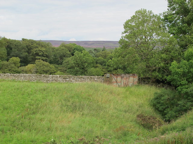
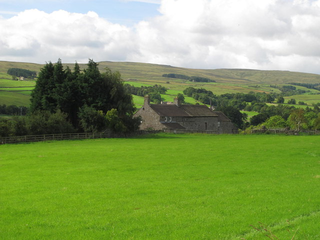
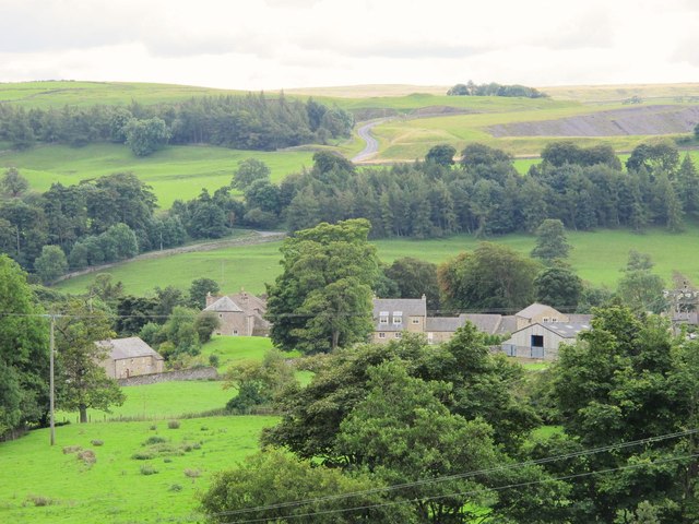
Crawleyside is a small hamlet located in the county of Durham, in the northeast region of England. Situated within the picturesque landscape of the North Pennines Area of Outstanding Natural Beauty, Crawleyside offers breathtaking views and a tranquil atmosphere to its residents and visitors.
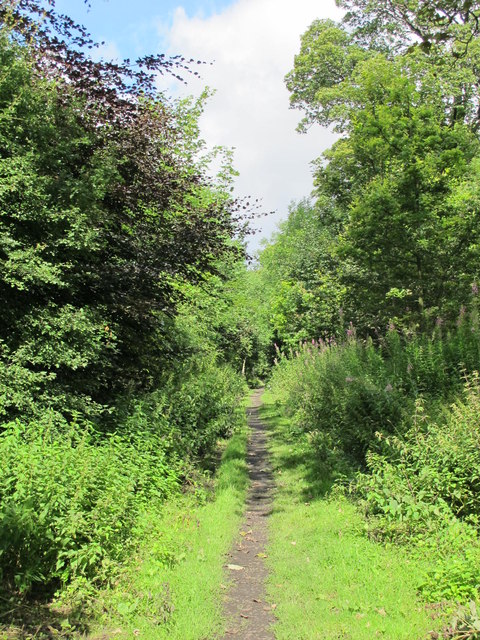
The hamlet is nestled on the slopes of Crawleyside Bank, a prominent hill that overlooks the nearby Wear Valley. Its location provides easy access to some of the most stunning countryside in the region, making it a popular destination for hikers, cyclists, and nature enthusiasts.
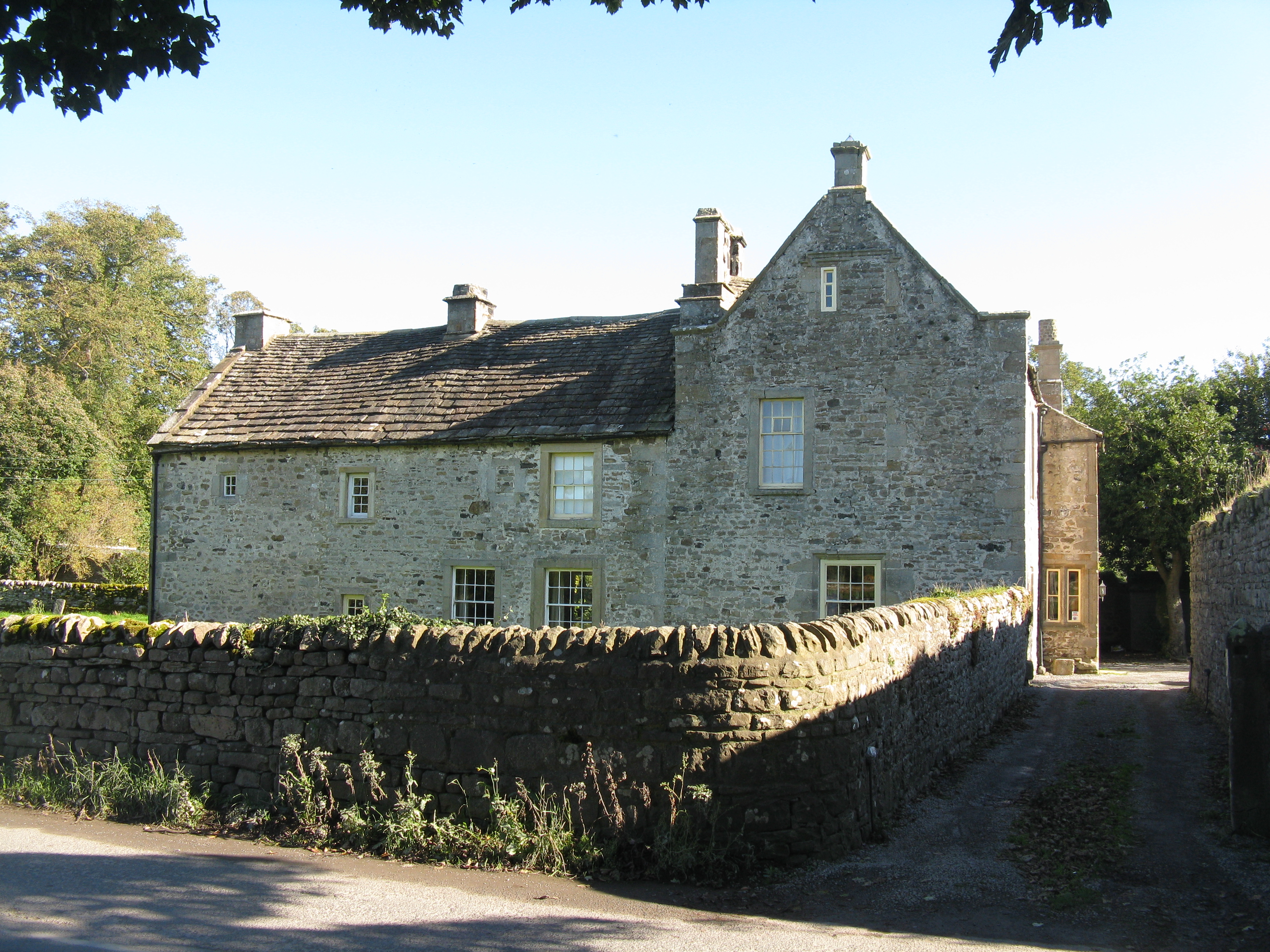
Crawleyside is known for its charming rural character, with a collection of traditional stone cottages and farmhouses dotting the landscape. The community is tight-knit, with a friendly and welcoming atmosphere that reflects the warmth of its residents.
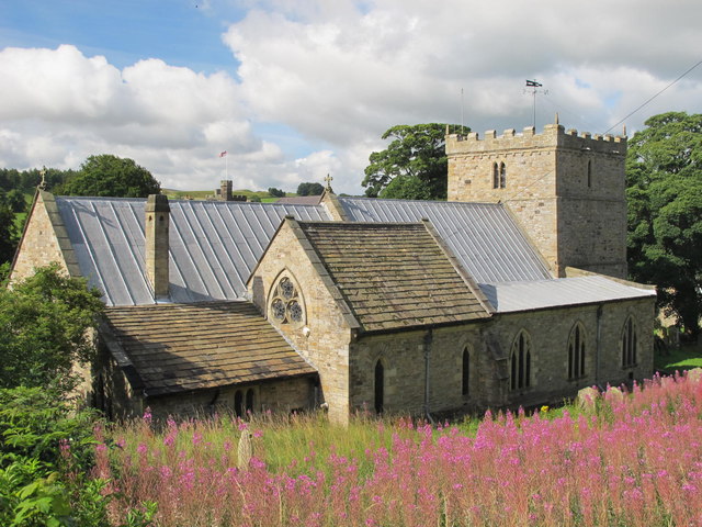
Although small in size, Crawleyside is conveniently located within close proximity to larger towns and amenities. The nearby market town of Stanhope offers a range of shops, cafes, and services, while Durham City is just a short drive away, providing access to a wider array of cultural, educational, and recreational facilities.
Overall, Crawleyside is an idyllic countryside retreat, offering a peaceful and picturesque setting for those seeking a slower pace of life amidst the natural beauty of the North Pennines. Whether it's exploring the surrounding hills, enjoying a leisurely walk along the nearby River Wear, or simply unwinding in the tranquility of the countryside, Crawleyside provides a haven for those looking to escape the hustle and bustle of urban life.
If you have any feedback on the listing, please let us know in the comments section below.
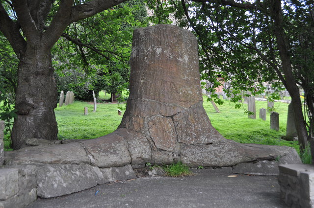
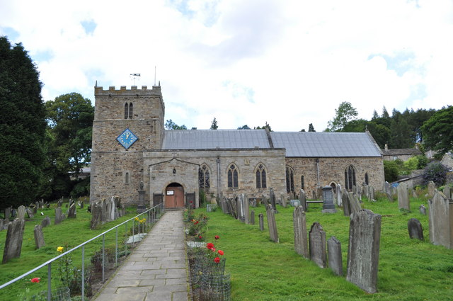
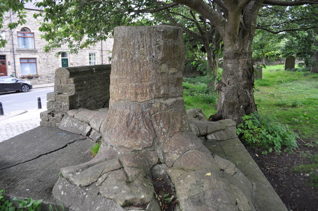
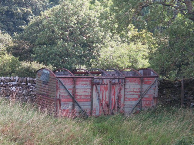
Crawleyside Images
Images are sourced within 2km of 54.75695/-2.009118 or Grid Reference NY9940. Thanks to Geograph Open Source API. All images are credited.


Crawleyside is located at Grid Ref: NY9940 (Lat: 54.75695, Lng: -2.009118)
Unitary Authority: County Durham
Police Authority: Durham
What 3 Words
///affirming.vets.manage. Near Stanhope, Co. Durham
Nearby Locations
Related Wikis

Crawleyside
Crawleyside is a village in the civil parish of Stanhope, in County Durham, England. It is situated to the north of Stanhope, in Weardale. In the 2001...

Crawley railway station (Durham)
Crawley railway station served the village of Crawleyside, County Durham, England, from 1845 to 1846 on the Stanhope and Tyne Railway. == History == The...
Crawley Edge Cairns
The Crawley Edge Cairns are a series of forty-two Bronze Age round barrows, cairns and clearance cairns located in a field in Crawleyside, near Stanhope...

Stanhope, County Durham
Stanhope is a market town and civil parish in the County Durham district, in the ceremonial county of Durham, England. It lies on the River Wear between...

Heathery Burn Cave
Heathery Burn Cave is a cave near Stanhope, County Durham, England, in which a large collection of Late Bronze Age weapons and tools was discovered and...

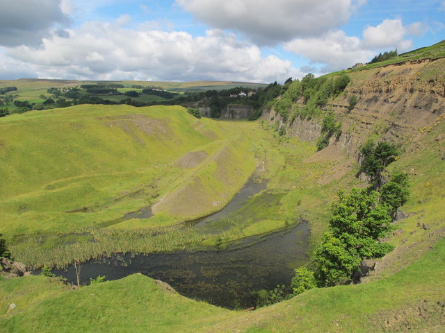
Greenfoot Quarry
Greenfoot Quarry is a Site of Special Scientific Interest in the Wear Valley district of west County Durham, England. It is a disused quarry, situated...
Weardale Rural District
Weardale was a rural district in County Durham, England from 1894 to 1974. It was formed under the Local Government Act 1894 as a successor to the Weardale...
Unthank, Stanhope
Unthank is a collection of houses in the civil parish of Stanhope, in County Durham, England. Unthank can be found just over Stanhope Ford and at the bottom...
Nearby Amenities
Located within 500m of 54.75695,-2.009118Have you been to Crawleyside?
Leave your review of Crawleyside below (or comments, questions and feedback).