Crawley Hill

Settlement in Surrey Surrey Heath

England

Crawley Hill

Path beside the B3015, Heatherside Corner
Path beside the B3015, Heatherside Corner Credit: JThomas

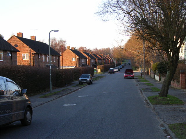
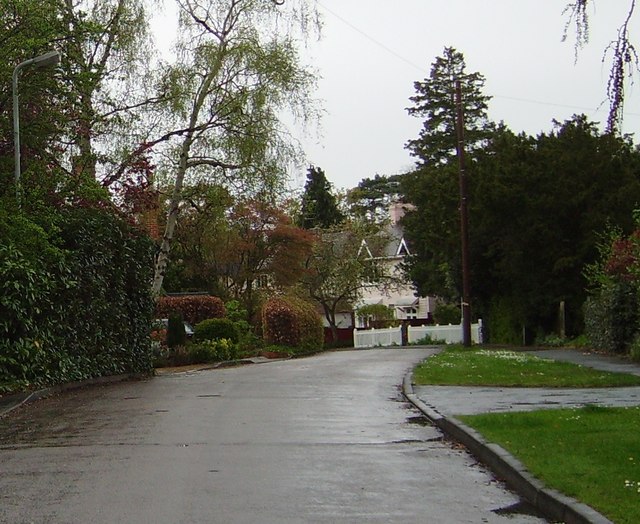
Crawley Hill is a small village located in the county of Surrey, England. It is situated approximately 35 miles southwest of London and lies within the borough of Surrey Heath. The village is surrounded by lush green fields and is known for its picturesque countryside setting.

Crawley Hill is a relatively small community with a population of around 1,000 residents. It offers a peaceful and tranquil atmosphere, making it an ideal place for those seeking a quieter lifestyle away from the hustle and bustle of the city. The village is primarily residential, with a mix of traditional cottages and modern houses.

Despite its small size, Crawley Hill has a strong sense of community. Residents often come together for various events and activities, fostering a close-knit and friendly environment. The village also has a local pub, providing a gathering place for locals to socialize.

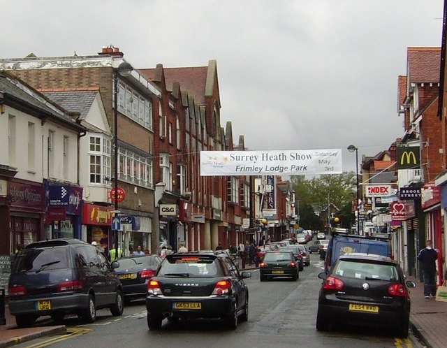
In terms of amenities, Crawley Hill is well-served. The nearby town of Camberley offers a range of shopping facilities, supermarkets, and restaurants, all within a short distance from the village. The area is also well-connected with good transportation links, including easy access to major road networks and a nearby train station.

For nature enthusiasts, Crawley Hill is a paradise. The village is surrounded by beautiful countryside, offering opportunities for scenic walks, cycling, and exploring the nearby woodlands. The area is also home to several nature reserves and parks, providing ample opportunities for outdoor activities and wildlife spotting.

In conclusion, Crawley Hill is a charming village in Surrey, offering a peaceful and community-focused lifestyle amidst stunning natural surroundings.

If you have any feedback on the listing, please let us know in the comments section below.
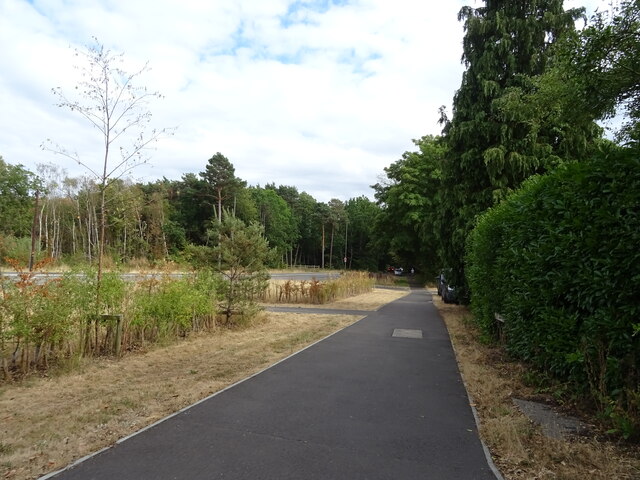
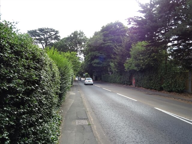
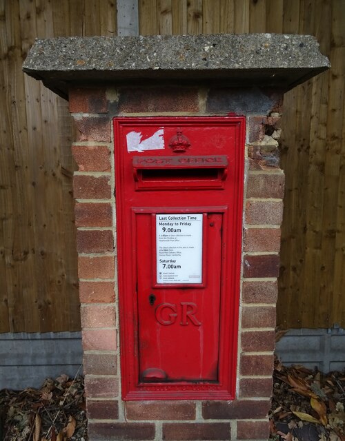
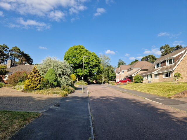
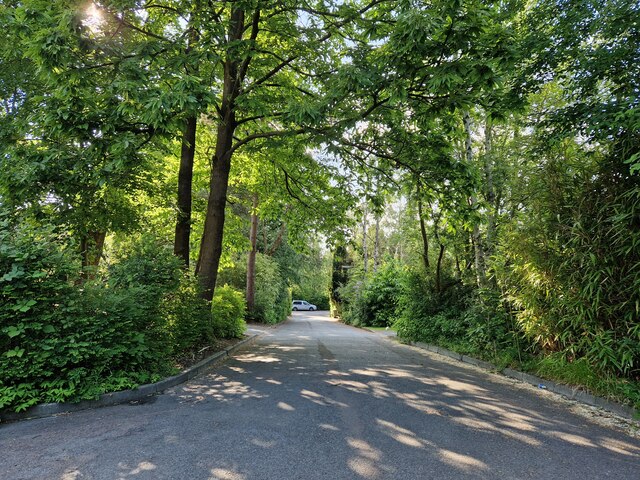
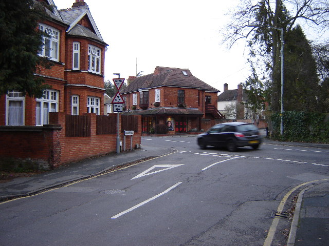
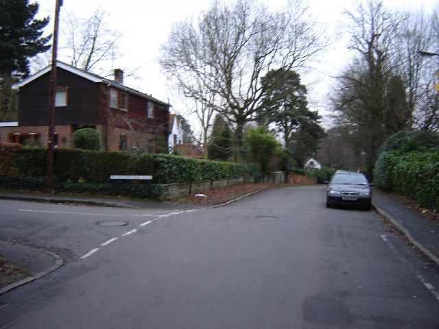
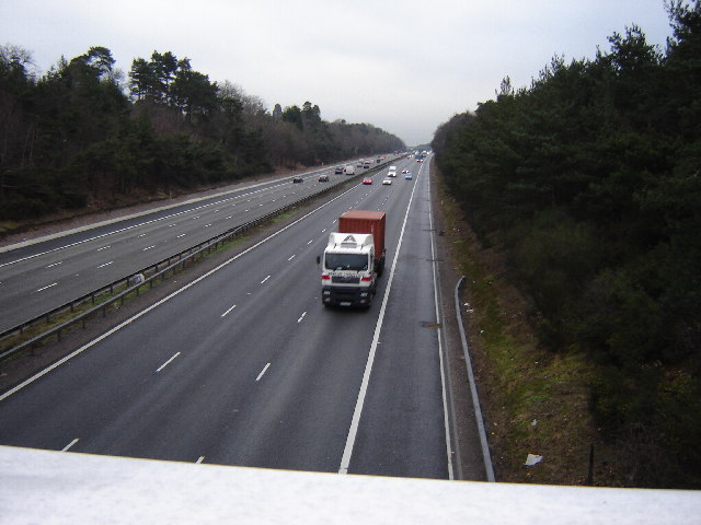
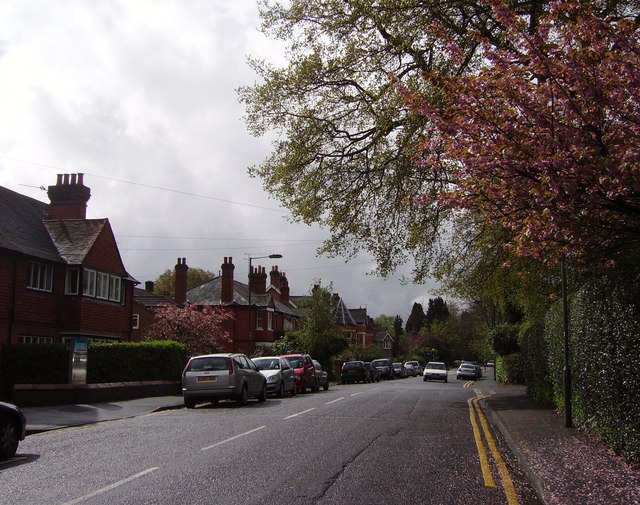
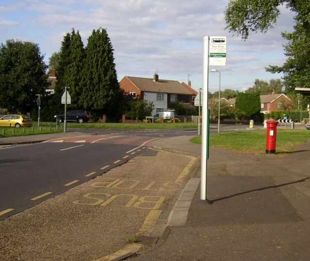
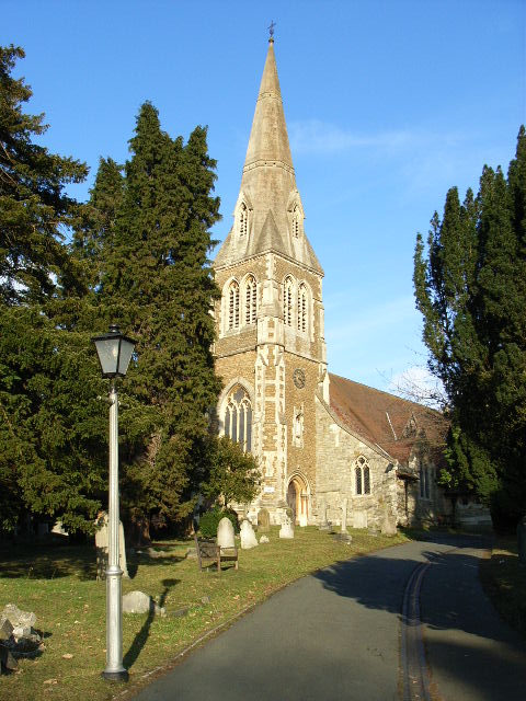
Crawley Hill Images

Images are sourced within 2km of 51.335254/-0.725961 or Grid Reference SU8860. Thanks to Geograph Open Source API. All images are credited.

Path beside the B3015, Heatherside Corner
Upper Chobham Road (B311) Towards Frimley.
Upper Chobham Road (B311)
Towards Frimley.
George V postbox on Upper Chobham Road, Camberley Postbox No. GU15 11.
George V postbox on Upper Chobham Road, Camberley
Postbox No. GU15 11.
Navigating northwards up the Basher (28) Lamppost in Roundway
Navigating northwards up the Basher (28)
Lamppost in Roundway
Navigating northwards up the Basher (27) Looking from Roundway Close into Roundway
Navigating northwards up the Basher (27)
Looking from Roundway Close into Roundway
The Junction of Park Street and Gordon Road, Camberley This is quite near the town centre and you can park for an hour in Gordon Road.
The Junction of Park Street and Gordon Road, Camberley
This is quite near the town centre and you can park for an hour in Gordon Road.
Junction of Crawley Ridge and Branksome Park Rd A pleasant housing area a few minutes from Camberley centre
Junction of Crawley Ridge and Branksome Park Rd
A pleasant housing area a few minutes from Camberley centre
M3 between J3 and J4 This is photographed from the Ravenswood Roundabout on the A325. There is no junction here. The nearby housing is quite exclusive but the Motorway intrudes.
M3 between J3 and J4
This is photographed from the Ravenswood Roundabout on the A325. There is no junction here. The nearby housing is quite exclusive but the Motorway intrudes.
St Peter and St John's RC Church, Camberley
St Martin's, Old Dean, Camberley
King's Ride, Camberley Residential area in the northern part of Camberley.
King's Ride, Camberley
Residential area in the northern part of Camberley.
College Ride, Camberley At the Diamond Ridge and College Close crossroads.
College Ride, Camberley
At the Diamond Ridge and College Close crossroads.
Camberley fire station Camberley fire station, 24-26 London Road, Camberley, Surrey, with a line-up of some of its fire appliances
Camberley fire station
Camberley fire station, 24-26 London Road, Camberley, Surrey, with a line-up of some of its fire appliances
7 Pigeons, 1 Tree Not a partridge in a pear tree, but 7 pigeons feeding from the gum present on the buds on this tree.
7 Pigeons, 1 Tree
Not a partridge in a pear tree, but 7 pigeons feeding from the gum present on the buds on this tree.
Grange Road, Camberley
High Street, Camberley
The Avenue, Camberley
Kingston Road, Old Dean Kingston Road roundabout, close to Collingwood school/college, on Old Dean, Camberley  Housing estate built early 1960's
Kingston Road, Old Dean
Kingston Road roundabout, close to Collingwood school/college, on Old Dean, Camberley Housing estate built early 1960's
Show me another place!

Crawley Hill is located at Grid Ref: SU8860 (Lat: 51.335254, Lng: -0.725961)

Administrative County: Surrey

District: Surrey Heath

Police Authority: Surrey

What 3 Words

///camcorder.twin.juggle. Near Camberley, Surrey

Nearby Locations

Crawley Hill

Related Wikis

Tekels Park

Tekels Park, Camberley, Surrey consists of about 20 hectares (50 acres) of land, grassland and houses. == History == The estate of Frimley Manor was sold...

Camberley Obelisk

Camberley Obelisk (also known as Norris's Obelisk or Norris's Whim) is a brick tower at the top of a hill in Camberley, Surrey, England. The tower was...

Camberley

Camberley is a town in northwest Surrey, England, around 29 miles (47 kilometres) south-west of central London. It is in the Borough of Surrey Heath...

Frimley and Camberley Urban District

Frimley and Camberley was an urban district in Surrey, England from 1894 to 1974. == Area == Frimley and Camberley consisted of the villages of Frimley...

Surrey Heath

Surrey Heath is a local government district with borough status in Surrey, England. Its council is based in Camberley. Much of the area is within the Metropolitan...

Camberley railway station

Camberley railway station is in the town of Camberley in Surrey, England. It is on the Ascot to Guildford line, 35 miles 30 chains (56.9 km) from London...

Collingwood College, Surrey

Collingwood College is a coeducational secondary school and sixth form located in Camberley, Surrey, England. == Admissions == Collingwood is the largest...

Tomlinscote School

Tomlinscote School is a coeducational secondary school with academy status, located in Frimley, Surrey, England. The school previously held specialist...

Nearby Amenities

Located within 500m of 51.335254,-0.725961
Crossing
Crossing Island: yes
Kerb: lowered
Sloped Curb: yes
Source: Surrey Air Survey
Lat/Long: 51.334831/-0.71925
Bus Stop
Prior Road
Naptan AtcoCode: 40004403080A
Naptan Bearing: NE
Naptan CommonName: Prior Road
Naptan Indicator: Just Before
Naptan Landmark: Prior Road
Naptan NaptanCode: surgajdp
Naptan PlusbusZoneRef: ALDRSHT
Naptan Street: Portsmouth Road
Naptan Verified: no
Source: naptan_import
Lat/Long: 51.3315244/-0.7241054
Bus Stop
Prior Road
Naptan AtcoCode: 40004403080B
Naptan Bearing: SW
Naptan CommonName: Prior Road
Naptan Indicator: Just after
Naptan Landmark: Prior Road
Naptan NaptanCode: surgajdt
Naptan PlusbusZoneRef: ALDRSHT
Naptan Street: Portsmouth Road
Naptan Verified: no
Source: naptan_import
Lat/Long: 51.3317495/-0.7233096
Bus Stop
Ravenswood Drive
Bench: no
Bin: no
Bus: yes
Departures Board: timetable
Lit: no
Naptan AtcoCode: 40004403095A
Naptan Bearing: SE
Naptan CommonName: Ravenswood Roundabout
Naptan Indicator: Just Before
Naptan Landmark: Ravenswood Roundabout
Naptan NaptanCode: surgajtj
Naptan PlusbusZoneRef: ALDRSHT
Naptan Street: Crawley Hill
Naptan Verified: no
Public Transport: platform
Shelter: no
Source: naptan_import
Tactile Paving: no
Lat/Long: 51.3348155/-0.7235115
Bus Stop
Ravenswood Drive
Bench: yes
Bin: yes
Bus: yes
Departures Board: timetable
Lit: no
Naptan AtcoCode: 40004403095B
Naptan Bearing: W
Naptan CommonName: Ravenswood Roundabout
Naptan Indicator: Just after
Naptan Landmark: Ravenswood Roundabout
Naptan NaptanCode: surgajtm
Naptan PlusbusZoneRef: ALDRSHT
Naptan Street: Crawley Hill
Naptan Verified: no
Public Transport: platform
Shelter: yes
Source: naptan_import
Tactile Paving: no
Lat/Long: 51.334637/-0.722029
Bus Stop
Connaught Road
Bench: no
Bin: no
Bus: yes
Departures Board: timetable
Lit: yes
Naptan AtcoCode: 40004403096A
Naptan Bearing: SE
Naptan CommonName: Connaught Road
Naptan Indicator: Opp
Naptan Landmark: Connaught Road
Naptan NaptanCode: surgajtp
Naptan PlusbusZoneRef: ALDRSHT
Naptan Street: Crawley Hill
Naptan Verified: no
Public Transport: platform
Shelter: no
Source: naptan_import
Tactile Paving: no
Lat/Long: 51.3355751/-0.7268676
Bus Stop
Connaught Road
Bench: yes
Bin: no
Bus: yes
Departures Board: realtime
Lit: no
Naptan AtcoCode: 40004403096B
Naptan Bearing: NW
Naptan CommonName: Connaught Road
Naptan Indicator: Just after
Naptan Landmark: Connaught Road
Naptan NaptanCode: surgajtw
Naptan PlusbusZoneRef: ALDRSHT
Naptan Street: Crawley Hill
Naptan Verified: no
Public Transport: platform
Shelter: yes
Source: naptan_import
Tactile Paving: no
Lat/Long: 51.3355313/-0.7271675
Bus Stop
Belton Road
Bench: yes
Bin: yes
Bus: yes
Departures Board: realtime
Lit: yes
Naptan AtcoCode: 40004403097A
Naptan Bearing: E
Naptan CommonName: Crawley Ridge
Naptan Indicator: Just Before
Naptan Landmark: Crawley Ridge
Naptan NaptanCode: surgajwa
Naptan PlusbusZoneRef: ALDRSHT
Naptan Street: Church Hill
Naptan Verified: no
Public Transport: platform
Shelter: yes
Source: naptan_import
Tactile Paving: no
Lat/Long: 51.3364263/-0.7309966
Bus Stop
Belton Road
Bench: yes
Bin: no
Bus: yes
Departures Board: realtime
Lit: yes
Naptan AtcoCode: 40004403097B
Naptan Bearing: W
Naptan CommonName: Crawley Ridge
Naptan Indicator: Just after
Naptan Landmark: Belton Road
Naptan NaptanCode: surgajwd
Naptan PlusbusZoneRef: ALDRSHT
Naptan Street: Church Hill
Naptan Verified: no
Public Transport: platform
Shelter: yes
Source: naptan_import
Tactile Paving: no
Lat/Long: 51.3361703/-0.7328942
Polling Station: 2010
Lat/Long: 51.3366389/-0.7313414
Polling Station: 2010
Lat/Long: 51.3328383/-0.7199773
Milestone
Distance: 49.4
Ref: A 49.4
Lat/Long: 51.3331023/-0.7236449
Crossing
Crossing Island: yes
Kerb: lowered
Sloped Curb: yes
Source: Surrey Air Survey
Lat/Long: 51.3348911/-0.7190401
Crossing
Crossing Island: yes
Kerb: lowered
Sloped Curb: yes
Source: Surrey Air Survey
Lat/Long: 51.3353986/-0.7192896
Frimley Hall Hotel
Addr City: Camberley
Addr Housename: Frimley Hall Hotel
Addr Postcode: GU15 2BG
Addr Street: Lime Avenue
Brand: MacDonald
Building: hotel
Internet Access: wlan
Tourism: hotel
Website: https://www.macdonaldhotels.co.uk/our-hotels/south-england/camberley/macdonald-frimley-hall-hotel-spa
Lat/Long: 51.3390374/-0.7250337
Crossing
Crossing Island: yes
Kerb: lowered
Sloped Curb: yes
Source: Surrey Air Survey
Lat/Long: 51.3352908/-0.7192021
Traffic Signals
Source: seen on journey
Traffic Signals Direction: forward
Lat/Long: 51.3362484/-0.7315587
Crossing
Crossing: unmarked
Kerb: lowered
Sloped Curb: yes
Lat/Long: 51.3366582/-0.7307569
Crossing
Crossing Island: yes
Kerb: lowered
Sloped Curb: yes
Source: Bing
Lat/Long: 51.336486/-0.7307489
Crossing
Crossing: unmarked
Kerb: lowered
Sloped Curb: yes
Lat/Long: 51.3362275/-0.7312371
Crossing
Crossing: traffic_signals
Crossing Ref: pelican
Kerb: lowered
Sloped Curb: yes
Lat/Long: 51.3362543/-0.7315139
Traffic Signals
Source: seen on journey
Traffic Signals Direction: backward
Lat/Long: 51.3362621/-0.7314547
Crossing
Crossing: unmarked
Kerb: lowered
Sloped Curb: yes
Lat/Long: 51.3360934/-0.7313226
Crossing
Crossing: unmarked
Lat/Long: 51.3336466/-0.7204133
Speed Camera
Lat/Long: 51.3360845/-0.719019
Speed Camera
Maxspeed: 70 mph
Lat/Long: 51.3319576/-0.7259949
The data included in this document is from www.openstreetmap.org. The data is made available under ODbL.

Have you been to Crawley Hill?

Leave your review of Crawley Hill below (or comments, questions and feedback).