Down Plantation
Wood, Forest in Wiltshire
England
Down Plantation
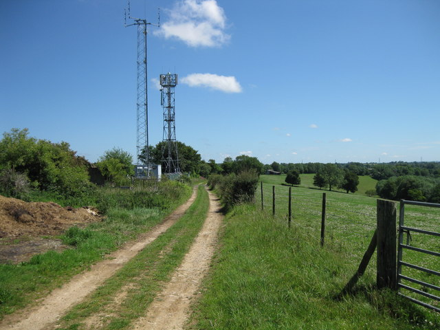
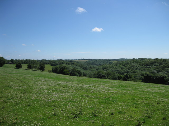
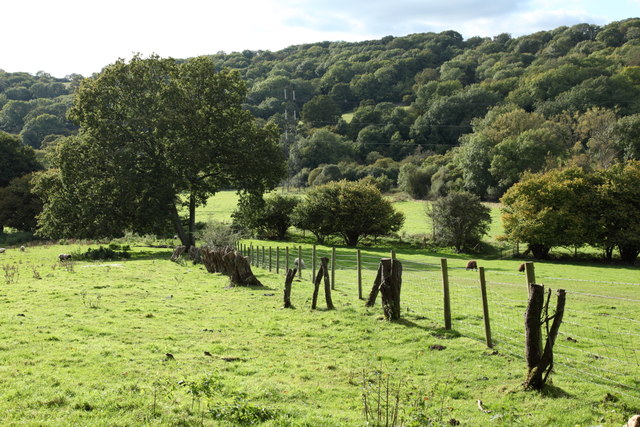
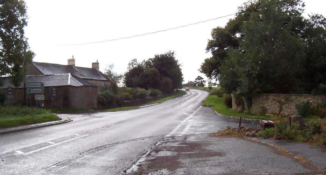
Down Plantation is a picturesque woodland located in Wiltshire, England. Covering an area of approximately 100 acres, it is nestled within the stunning landscape of the county. The plantation is primarily composed of a variety of broadleaf trees, including oak, beech, and ash, which create a dense and vibrant forest canopy.
The woodland boasts a rich biodiversity, providing a habitat for numerous animal and plant species. Visitors to Down Plantation can expect to encounter a diverse range of wildlife, such as deer, foxes, badgers, and a plethora of bird species. The peaceful atmosphere and lush surroundings make it an ideal location for nature enthusiasts, hikers, and photographers.
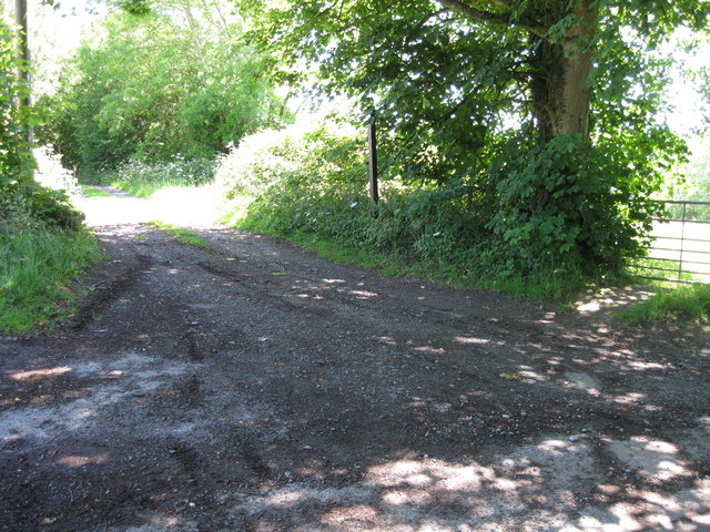
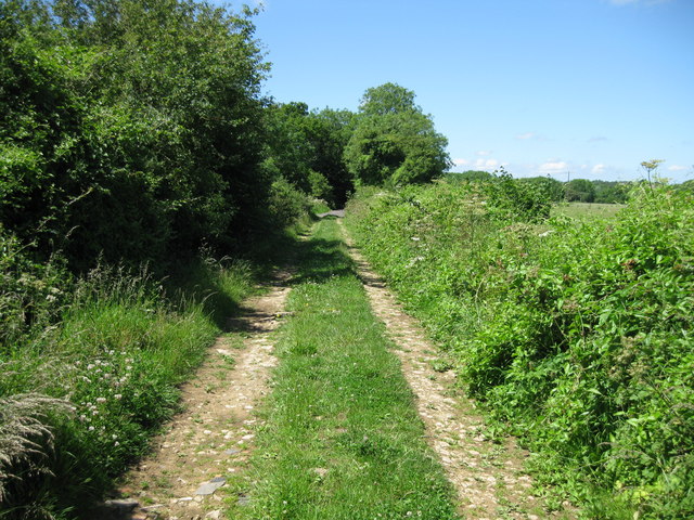
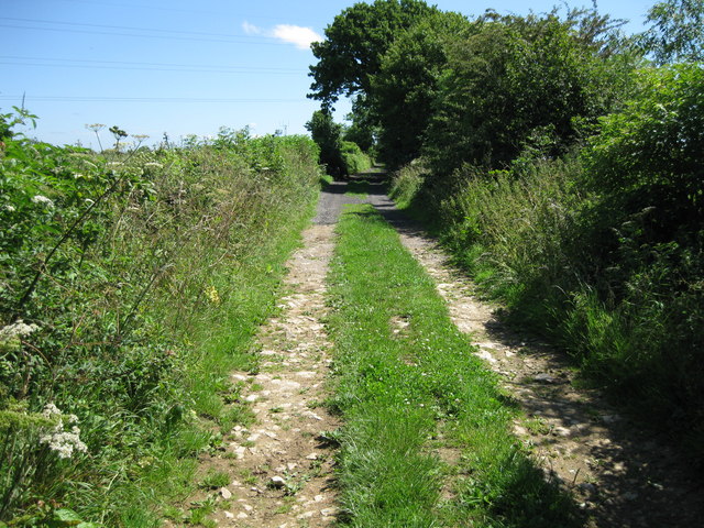
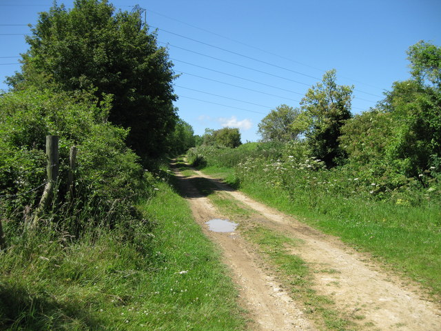
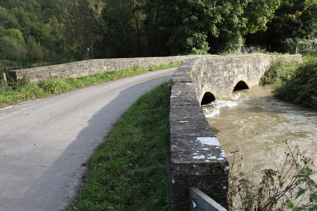
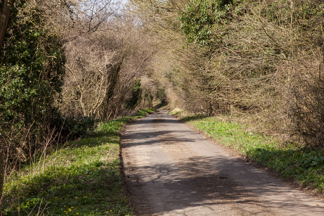
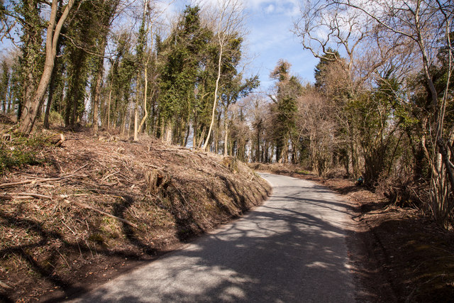
The plantation offers several well-maintained walking trails, allowing visitors to explore its natural beauty. These paths wind through the forest, guiding visitors to hidden clearings, babbling brooks, and enchanting glades. The tranquility of the woodland provides a perfect escape from the hustle and bustle of everyday life.
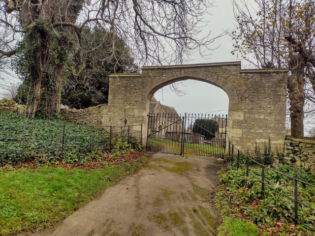
Down Plantation also holds historical significance, dating back several centuries. It was once part of a larger estate and has witnessed various changes throughout its existence. The remnants of old stone walls and the occasional abandoned structure serve as reminders of its past.
Overall, Down Plantation in Wiltshire is a captivating woodland that offers visitors a chance to immerse themselves in nature. With its diverse ecosystem, scenic walking trails, and rich historical context, it is a destination worth exploring for anyone seeking solace and natural beauty.
If you have any feedback on the listing, please let us know in the comments section below.
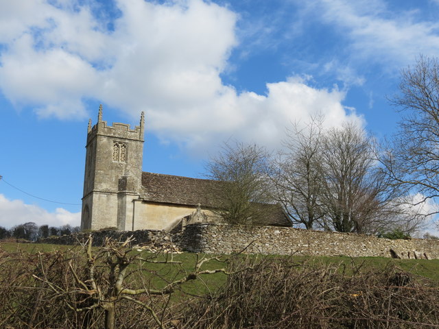
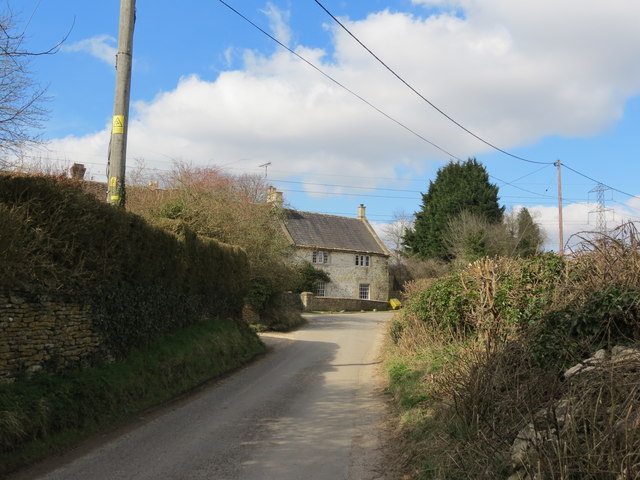
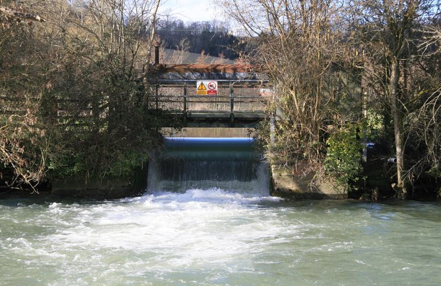
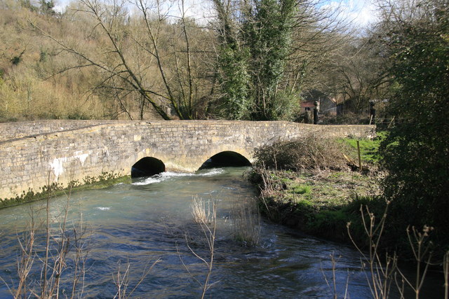
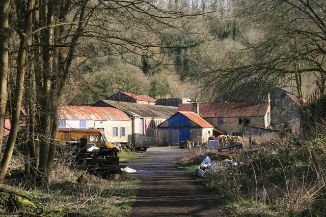
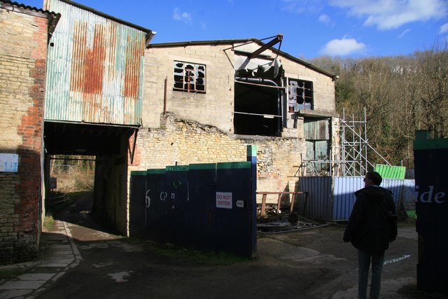
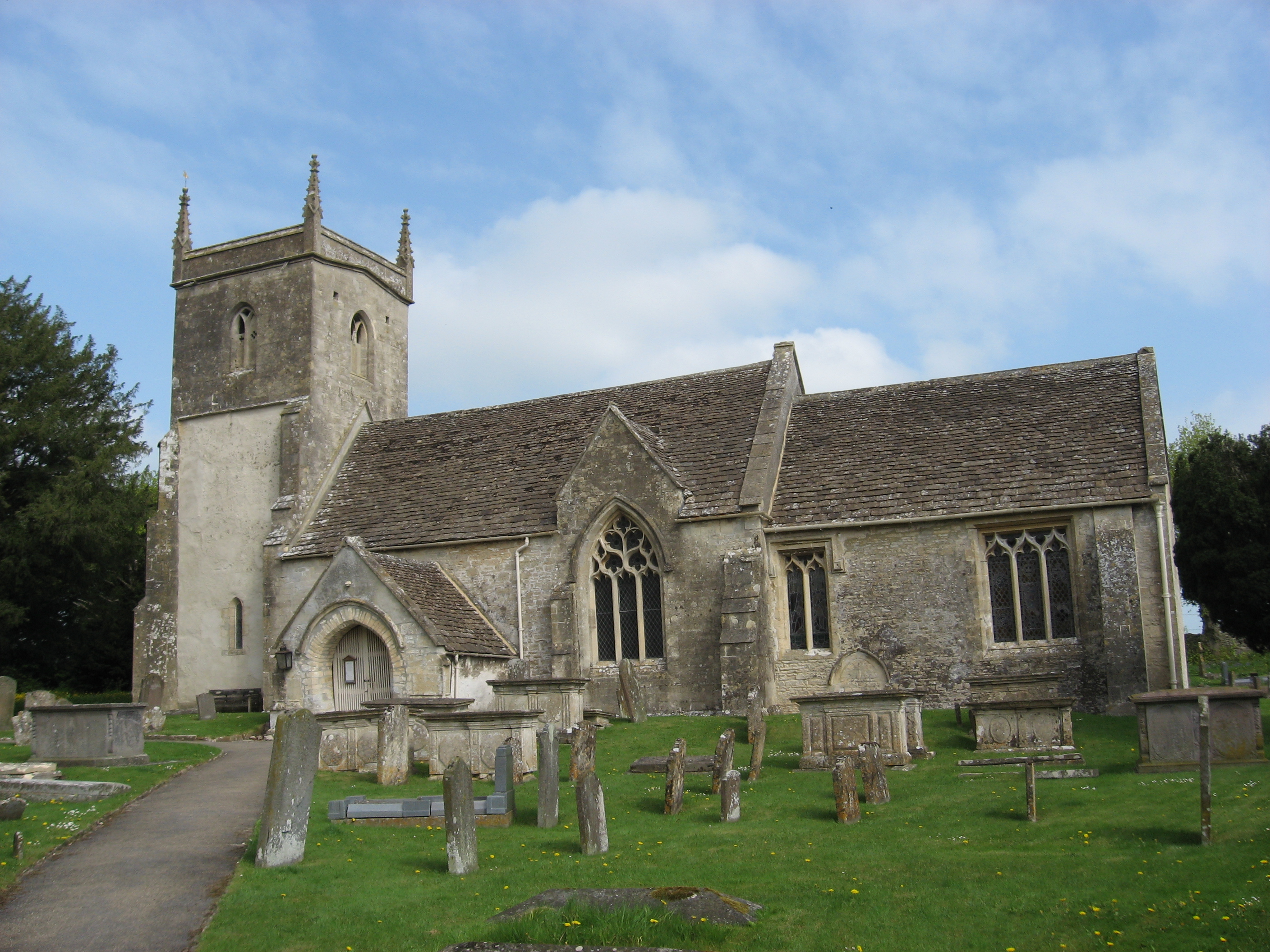
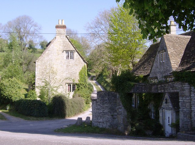
Down Plantation Images
Images are sourced within 2km of 51.465504/-2.2500696 or Grid Reference ST8274. Thanks to Geograph Open Source API. All images are credited.
Down Plantation is located at Grid Ref: ST8274 (Lat: 51.465504, Lng: -2.2500696)
Unitary Authority: Wiltshire
Police Authority: Wiltshire
What 3 Words
///toned.showering.pitching. Near North Wraxall, Wiltshire
Nearby Locations
Related Wikis

Bury Camp
Bury Camp is the site of an Iron Age multivallate hillfort in north-west Wiltshire, England. It occupies a triangular promontory of Colerne Down, in the...

Lucknam Park
Lucknam Park is a luxury hotel, spa and restaurant in west Wiltshire, England, about 3 miles (5 km) north-west of Corsham and 7 miles (11 km) north-east...
North Wraxall
North Wraxall is a village and civil parish in Wiltshire, England. The village is about 6 miles (10 km) west of Chippenham, just north of the A420 road...

Slaughterford
Slaughterford is a small village in the civil parish of Biddestone and Slaughterford, about 5 miles (8 km) west of Chippenham, in Wiltshire, England. The...
Ford, North Wiltshire
Ford is a small village in the north-west of Wiltshire, England. The village is on the A420 road, 4 miles west of Chippenham and 11 miles east of Bristol...

Honeybrook Farm
Honeybrook Farm (grid reference ST841730) is a working farm three miles (4.8 km) south of Castle Combe in Wiltshire, England, between the villages of Biddestone...

Danks Down and Truckle Hill
Danks Down and Truckle Hill (grid reference ST834758) is a 13.1 hectare biological Site of Special Scientific Interest in Wiltshire, notified in 1990....
The Shoe
The Shoe is a hamlet in the parish of North Wraxall, in the north-west of Wiltshire in England. It lies at the junction of the Fosse Way (the old Roman...
Nearby Amenities
Located within 500m of 51.465504,-2.2500696Have you been to Down Plantation?
Leave your review of Down Plantation below (or comments, questions and feedback).