Matthew's Wood

Wood, Forest in Wiltshire

England

Matthew's Wood

Lane in West Kington Wick Looking south west up the hill towards North Wraxall from West Kington Wick crossroads.
Lane in West Kington Wick Credit: Kevin Pearson

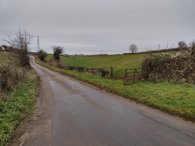
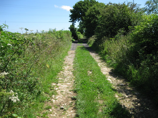
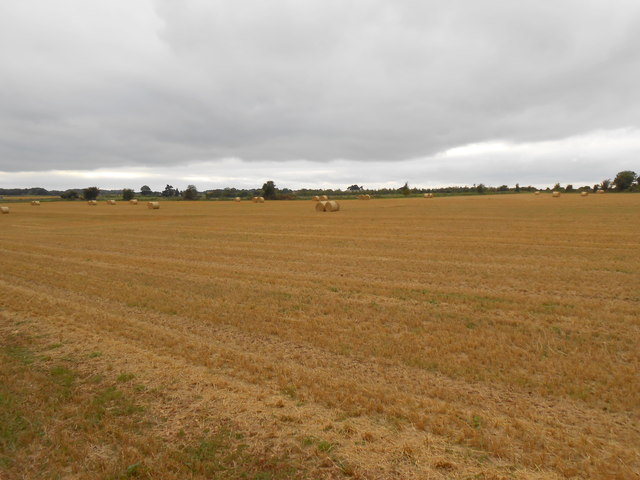
Matthew's Wood is a picturesque forest located in the county of Wiltshire, England. Covering an area of approximately 50 acres, this woodland is known for its natural beauty and diverse ecosystem. It is situated near the village of Wood, providing a tranquil escape for both locals and visitors.

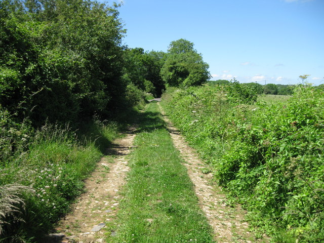
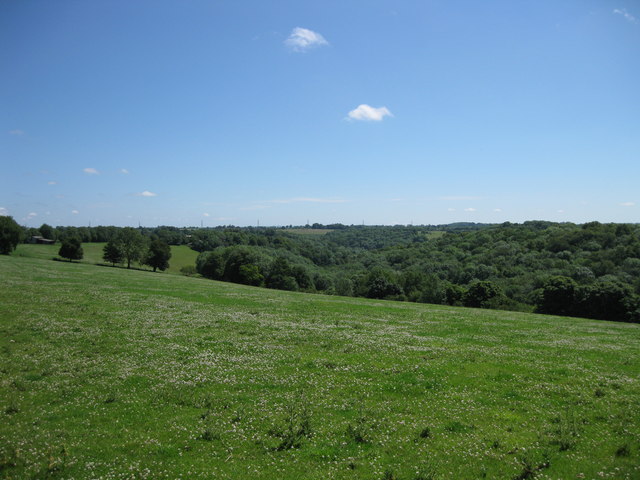
The wood features a mix of deciduous and coniferous trees, including oak, beech, and pine, which create a vibrant and lush canopy. The forest floor is adorned with a carpet of wildflowers and ferns, adding to its enchanting appeal. The dense foliage provides a habitat for a wide variety of wildlife, including deer, squirrels, and numerous bird species.

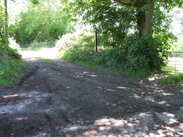
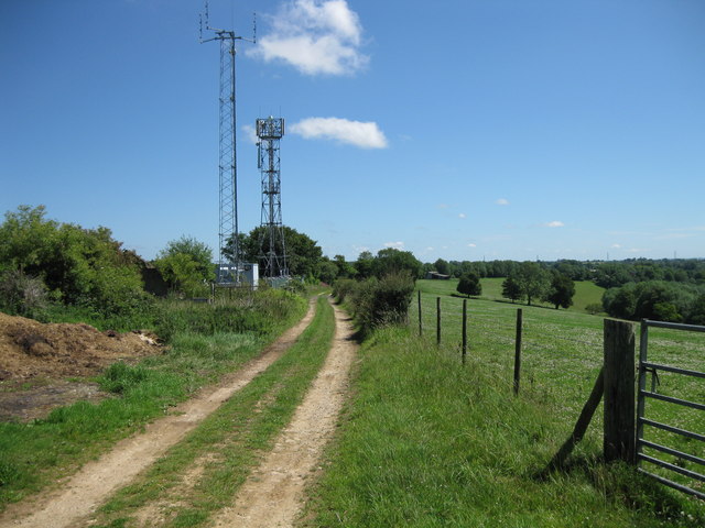
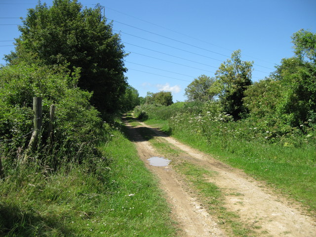
Matthew's Wood is crisscrossed by a network of footpaths, allowing visitors to explore its serene surroundings. These paths lead to hidden clearings, babbling brooks, and ancient stone formations, providing ample opportunities for peaceful walks and picnics amidst nature. The forest is particularly popular among nature enthusiasts, hikers, and photographers who are drawn to its idyllic charm.

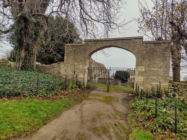
In addition to its natural beauty, Matthew's Wood holds historical significance. The area is believed to have been inhabited since prehistoric times, with evidence of human activity dating back thousands of years. Archaeological remains, such as burial mounds and ancient earthworks, can still be found within the woodland, offering a glimpse into the area's rich past.

Overall, Matthew's Wood is a captivating destination for those seeking a serene retreat in the heart of Wiltshire. Its combination of scenic beauty, diverse flora and fauna, and historical significance make it a cherished natural gem in the region.

If you have any feedback on the listing, please let us know in the comments section below.

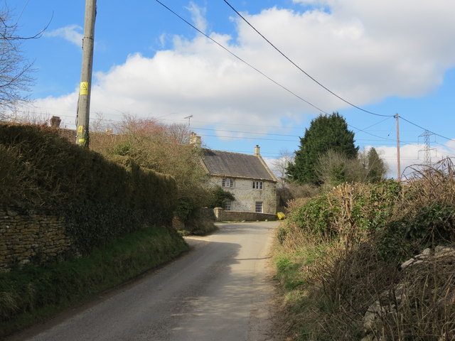
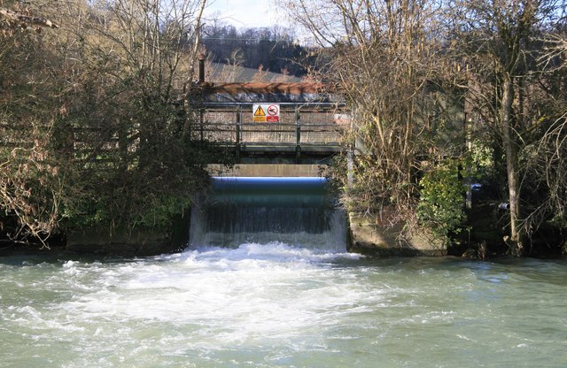
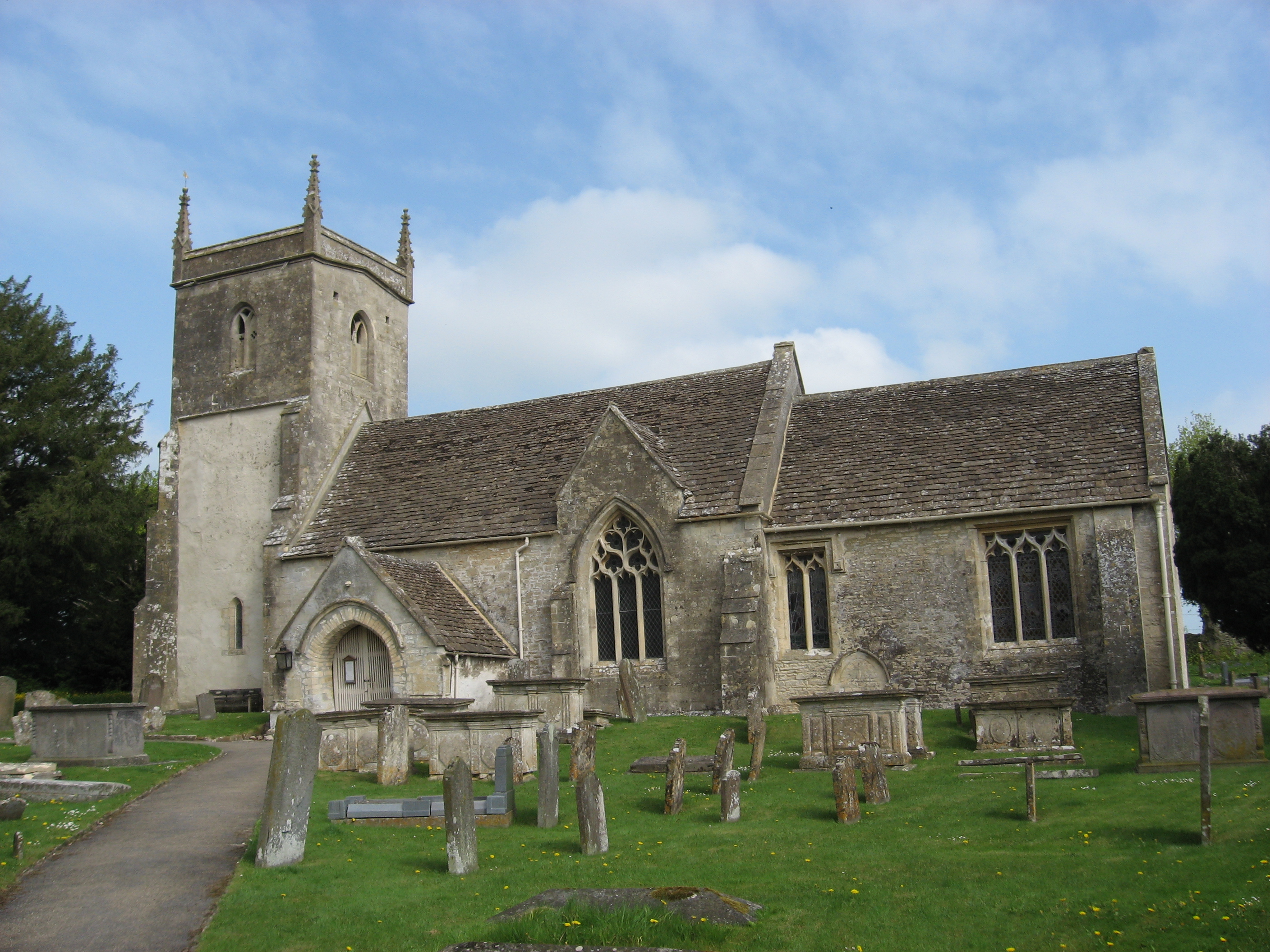
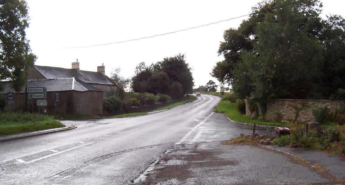
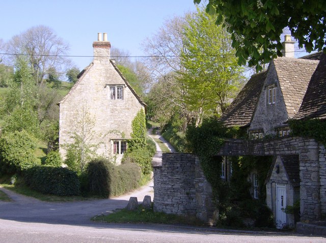
Matthew's Wood Images

Images are sourced within 2km of 51.467619/-2.2532627 or Grid Reference ST8274. Thanks to Geograph Open Source API. All images are credited.

Lane in West Kington Wick Looking south west up the hill towards North Wraxall from West Kington Wick crossroads.
Lane in West Kington Wick
Looking south west up the hill towards North Wraxall from West Kington Wick crossroads.
Crossroads on the Fosse Way at West Kington Wick The crossroads at West Kington Wick on the Fosseway, looking north west back towards the village.
Crossroads on the Fosse Way at West Kington Wick
The crossroads at West Kington Wick on the Fosseway, looking north west back towards the village.
Gates to St. James' Church, North Wraxall The gateway to the church of St. James in North Wraxall.
Gates to St. James' Church, North Wraxall
The gateway to the church of St. James in North Wraxall.
Fosse Farm northerly aspect The front of the farm faces onto the Fosse Way and ancient Roman Trackway.
Fosse Farm northerly aspect
The front of the farm faces onto the Fosse Way and ancient Roman Trackway.
The Old Coach Road The Old Coach Road is now a byway.  It leaves the tarmac lane between North Wraxall and the A420 at this point and continues roughly eastwards for a little over 2km to Ford village on the A420.
The Old Coach Road
The Old Coach Road is now a byway. It leaves the tarmac lane between North Wraxall and the A420 at this point and continues roughly eastwards for a little over 2km to Ford village on the A420.
Looking west along The Old Coach Road The byway has a good stone surface at this point.
Looking west along The Old Coach Road
The byway has a good stone surface at this point.
Looking east along The Old Coach Road
Aerials on the byway The Old Coach Road provides access to new aerial masts for mobile phones
Aerials on the byway
The Old Coach Road provides access to new aerial masts for mobile phones
View to the south east The view from The Old Coach Road towards Ford
View to the south east
The view from The Old Coach Road towards Ford
The Old Coach Road Byway
Fields at Upper Wraxall All that was left in this large wheat field after harvesting was a few round bales of straw and some stubble.It is just off the Fosse Way
Fields at Upper Wraxall
All that was left in this large wheat field after harvesting was a few round bales of straw and some stubble.It is just off the Fosse Way
Halls Barn Farm Situated right on the Fosse Way just west of North Wraxall this is a large working farm with a considerable number of buildings on both sides of the old Roman road.
Halls Barn Farm
Situated right on the Fosse Way just west of North Wraxall this is a large working farm with a considerable number of buildings on both sides of the old Roman road.
Powerlines near Fosse Farm This powerline runs straight across the Fosse Way east of Mountain Bower and north of North Wraxall. The fields in this area are a mix of pasture and arable. A footpath to West Kington runs on the other side of the fence on the right.
Powerlines near Fosse Farm
This powerline runs straight across the Fosse Way east of Mountain Bower and north of North Wraxall. The fields in this area are a mix of pasture and arable. A footpath to West Kington runs on the other side of the fence on the right.
Fosse Way near West Kington Wick At this point the old Roman road on its route south towards Bath is halfway up the ascent out of the valley of the By Brook towards the elevated ground near North Wraxall. It is showing the typical Roman road "straightness". This is a very quiet stretch of the Fosse way compared with some very busy sections in Warwickshire.
Fosse Way near West Kington Wick
At this point the old Roman road on its route south towards Bath is halfway up the ascent out of the valley of the By Brook towards the elevated ground near North Wraxall. It is showing the typical Roman road "straightness". This is a very quiet stretch of the Fosse way compared with some very busy sections in Warwickshire.
Slaughterford Bridge after heavy rain After a few days of heavy rain the By Brook is flowing swiftly and showing higher water levels than <a href="https://www.geograph.org.uk/photo/445791">ST8473 : Slaughterford bridge</a> and <a href="https://www.geograph.org.uk/photo/208680">ST8473 : The bridge at Slaughterford</a>
Slaughterford Bridge after heavy rain
After a few days of heavy rain the By Brook is flowing swiftly and showing higher water levels than ST8473 : Slaughterford bridge and ST8473 : The bridge at Slaughterford
St  Nicholas  Parish  Church  Slaughterford
St Nicholas Parish Church Slaughterford
Country  Lane  Slaughterford This lane goes out of the village north to Ford
Country Lane Slaughterford
This lane goes out of the village north to Ford
By Brook - Slaughterford Gate A sluice operated by the Environment Agency on the By Brook near Slaughterford.
By Brook - Slaughterford Gate
A sluice operated by the Environment Agency on the By Brook near Slaughterford.
Show me another place!

Matthew's Wood is located at Grid Ref: ST8274 (Lat: 51.467619, Lng: -2.2532627)

Unitary Authority: Wiltshire

Police Authority: Wiltshire

What 3 Words

///crisis.friend.scornful. Near North Wraxall, Wiltshire

Related Wikis

Bury Camp

Bury Camp is the site of an Iron Age multivallate hillfort in north-west Wiltshire, England. It occupies a triangular promontory of Colerne Down, in the...

North Wraxall

North Wraxall is a village and civil parish in Wiltshire, England. The village is about 6 miles (10 km) west of Chippenham, just north of the A420 road...

Lucknam Park

Lucknam Park is a luxury hotel, spa and restaurant in west Wiltshire, England, about 3 miles (5 km) north-west of Corsham and 7 miles (11 km) north-east...

The Shoe

The Shoe is a hamlet in the parish of North Wraxall, in the north-west of Wiltshire in England. It lies at the junction of the Fosse Way (the old Roman...

Slaughterford

Slaughterford is a small village in the civil parish of Biddestone and Slaughterford, about 5 miles (8 km) west of Chippenham, in Wiltshire, England. The...

Ford, North Wiltshire

Ford is a small village in the north-west of Wiltshire, England. The village is on the A420 road, 4 miles west of Chippenham and 11 miles east of Bristol...

Danks Down and Truckle Hill

Danks Down and Truckle Hill (grid reference ST834758) is a 13.1 hectare biological Site of Special Scientific Interest in Wiltshire, notified in 1990....

Honeybrook Farm

Honeybrook Farm (grid reference ST841730) is a working farm three miles (4.8 km) south of Castle Combe in Wiltshire, England, between the villages of Biddestone...

Nearby Amenities

Located within 500m of 51.467619,-2.2532627
Barrier: stile
Lat/Long: 51.4657152/-2.2479635
Ford: yes
Lat/Long: 51.4677864/-2.2563487
The data included in this document is from www.openstreetmap.org. The data is made available under ODbL.

Have you been to Matthew's Wood?

Leave your review of Matthew's Wood below (or comments, questions and feedback).