Crawley

Settlement in Hampshire Winchester

England

Crawley

Farm track near New Barn A private track south of the by-way.
Farm track near New Barn Credit: David Martin

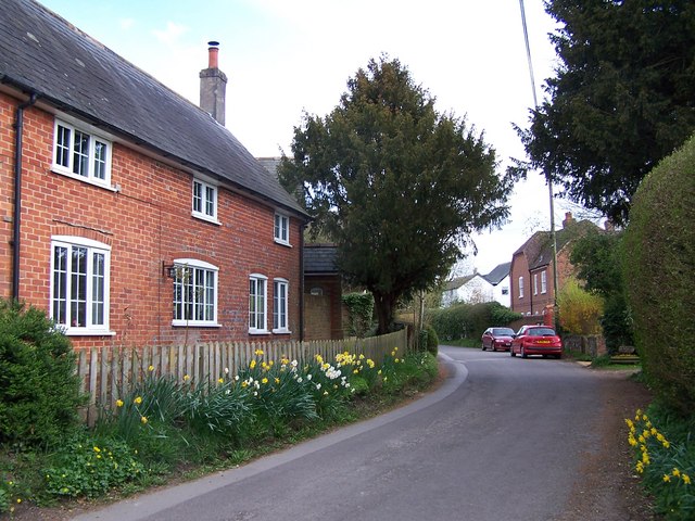
Crawley is a small village located in the county of Hampshire, England. Situated approximately 15 miles north of Winchester, it falls within the Test Valley district. With a population of around 500 residents, Crawley exudes a peaceful and rural charm.

The village is known for its picturesque surroundings, nestled amidst the stunning Hampshire countryside. Lush green fields, rolling hills, and scenic woodland areas characterize the landscape, making Crawley a haven for nature lovers and outdoor enthusiasts. The River Dever flows close by, adding to the area's natural beauty.

Historically, Crawley has roots dating back to the Saxon era, and remnants of its past can still be seen today. St. Mary's Church, a Grade II listed building, stands as a testament to the village's historical significance. The church dates back to the 12th century and features stunning architecture, including a Norman doorway and unique medieval wall paintings.

Despite its small size, Crawley offers a tight-knit and friendly community atmosphere. The village has a primary school, providing education for local children, and a village hall that serves as a hub for community events and activities. The area also boasts several footpaths and bridleways, allowing residents and visitors to explore the surrounding countryside on foot, by bike, or on horseback.

Overall, Crawley is a hidden gem in Hampshire, offering a tranquil and idyllic setting for those seeking a peaceful retreat amidst nature's beauty.

If you have any feedback on the listing, please let us know in the comments section below.
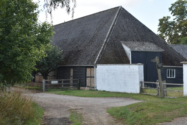
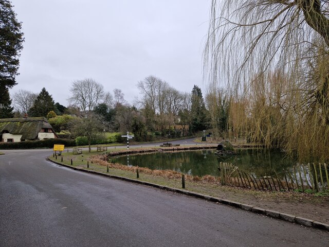
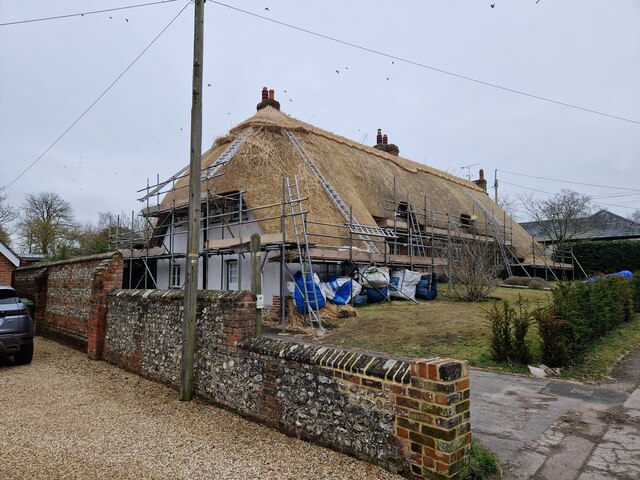
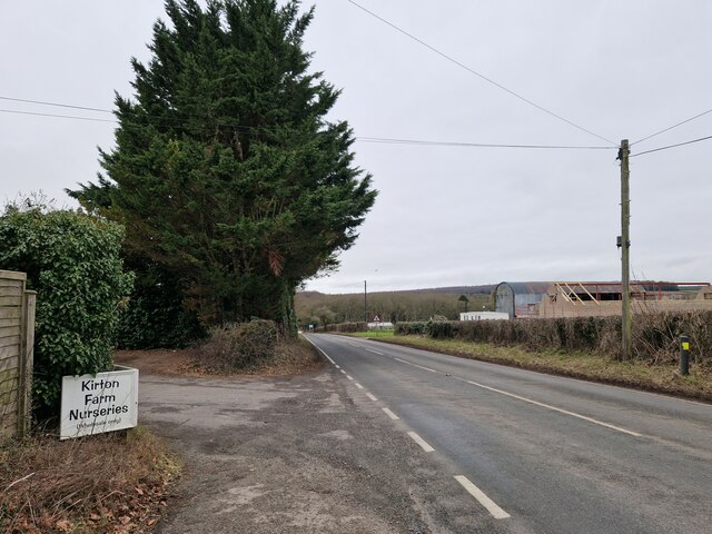
Crawley Images

Images are sourced within 2km of 51.111249/-1.3943365 or Grid Reference SU4234. Thanks to Geograph Open Source API. All images are credited.
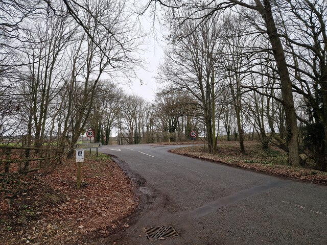
Farm track near New Barn A private track south of the by-way.
Farm track near New Barn
A private track south of the by-way.
Track southeast from New Barn
Bend in by-way at New Barn
Junction of tracks, New Barn
Lane towards Crawley, New Barn A variety of former agricultural buildings at New Barn have been converted to residential use.
Lane towards Crawley, New Barn
A variety of former agricultural buildings at New Barn have been converted to residential use.
Rush hour in Crawley
House being re-thatched at Crawley
Wandering westwards along the Bashire (47) Looking west-northwest on the B3049
Wandering westwards along the Bashire (47)
Looking west-northwest on the B3049
Wandering westwards along the Bashire (46) Maybe I've watched too many budget TV dramas, but buildings like this always bring to mind blaggers hiding out!
Wandering westwards along the Bashire (46)
Maybe I've watched too many budget TV dramas, but buildings like this always bring to mind blaggers hiding out!
Wandering westwards along the Bashire (48) Looking from Folly Farm towards the crossroads
Wandering westwards along the Bashire (48)
Looking from Folly Farm towards the crossroads
North-west corner of a barley field, near Dumper's Oak On the east side of a minor road running south from the A30. At a 96 metre spot height.
North-west corner of a barley field, near Dumper's Oak
On the east side of a minor road running south from the A30. At a 96 metre spot height.
Northern edge of a barley field, near Dumper's Oak Looking east from a minor road, at a 96 metre spot height.
Northern edge of a barley field, near Dumper's Oak
Looking east from a minor road, at a 96 metre spot height.
Public footpath running east, Ox Drove Track Looking east from a minor road, at a 96 metre spot height.
Public footpath running east, Ox Drove Track
Looking east from a minor road, at a 96 metre spot height.
Public footpath crossing a minor road North of Dumper's Oak. The wooden signpost has fallen over and is disappearing under brambles.
Public footpath crossing a minor road
North of Dumper's Oak. The wooden signpost has fallen over and is disappearing under brambles.
The road to Windmill Hill Climbing up from 104 metres above sea level.
The road to Windmill Hill
Climbing up from 104 metres above sea level.
Roadside verge, north of Windmill Hill Wildflowers alongside the narrow lane leading to the A30.
Roadside verge, north of Windmill Hill
Wildflowers alongside the narrow lane leading to the A30.
Evening sun, the road from Windmill Hill Heading south, alongside a belt of trees.
Evening sun, the road from Windmill Hill
Heading south, alongside a belt of trees.
Anonymous lane, heading north-east alongside Rack Belt The parish boundary between Crawley [left/north] and Sparsholt [right/south].
Anonymous lane, heading north-east alongside Rack Belt
The parish boundary between Crawley [left/north] and Sparsholt [right/south].
Show me another place!

Crawley is located at Grid Ref: SU4234 (Lat: 51.111249, Lng: -1.3943365)

Administrative County: Hampshire

District: Winchester

Police Authority: Hampshire

What 3 Words

///distanced.slugs.uptown. Near Kings Worthy, Hampshire

Nearby Locations

Crawley

Related Wikis

Crawley, Hampshire

Crawley is a small village in Hampshire, England. It is a few miles from the county town (and former capital) of Winchester. It is a civil parish within...

Chilbolton Down

Chilbolten Down is a hamlet in the civil parish of Chilbolton in Hampshire, England. Its nearest town is Stockbridge, which lies approximately 3.4 miles...
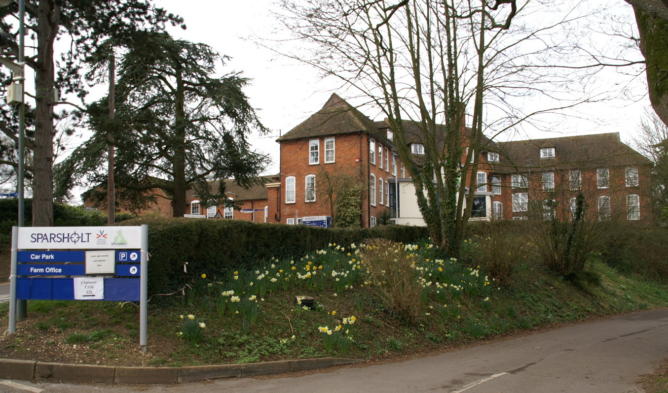
Sparsholt College

Sparsholt College is a Further Education (FE) and Higher Education (HE) college located at Sparsholt near Winchester, with a secondary campus in Andover...

Rookley Manor, Hampshire

Rookley Manor is a Grade II* listed country house, located in Up Somborne in Hampshire, England. == Background == Located within the fertile Test Valley...
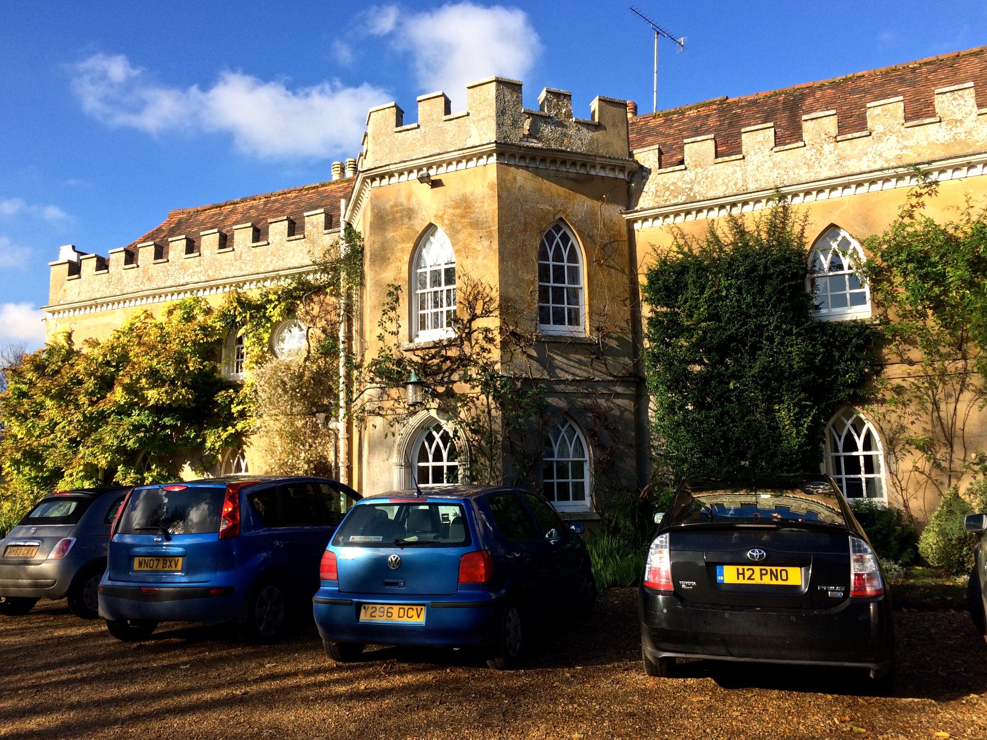
Lainston House

Lainston House is a 17th-century country house hotel near Sparsholt, Hampshire in the south of England. It is operated by the Exclusive Hotels chain. It...

Up Somborne

Up Somborne is a hamlet in the civil parish of King's Somborne in the Test Valley district of Hampshire, England. Its nearest town is Stockbridge, which...

Sparsholt, Hampshire

Sparsholt (/ˈspɑːʃəʊlt/) is a village and civil parish in Hampshire, England, 2+1⁄2 miles (4 km) west of Winchester. In 1908 its area was 3,672 acres...

South Wonston

South Wonston is a village on the outskirts of the City of Winchester district of Hampshire, England. The population of the parish of South Wonston was...

Nearby Amenities

Located within 500m of 51.111249,-1.3943365
STOCKBRIDGE14
Disused: yes
Man Made: petroleum_well
Ref GB Decc: LQ/29-18
Source: DECC
Lat/Long: 51.1144361/-1.3927694
Bus Stop
Village School and Hall
Naptan AtcoCode: 1900HA110270
Naptan Bearing: E
Naptan CommonName: Village School and Hall
Naptan NaptanCode: hamawdpj
Naptan Street: Road Through Village
Naptan Verified: no
Source: naptan_import
Lat/Long: 51.110912/-1.3904316
Bus Stop
Village School and Hall
Naptan AtcoCode: 1900HA110271
Naptan Bearing: W
Naptan CommonName: Village School and Hall
Naptan NaptanCode: hamawdpa
Naptan Street: Road Through Village
Naptan Verified: no
Source: naptan_import
Lat/Long: 51.1108548/-1.3904652
Bus Stop
Hacks Lane
Naptan AtcoCode: 1900HA110272
Naptan Bearing: SE
Naptan CommonName: Hacks Lane
Naptan Crossing: Hacks Lane
Naptan NaptanCode: hamawatg
Naptan Street: Road Through Village
Naptan Verified: no
Source: naptan_import
Lat/Long: 51.1113367/-1.3942831
Bus Stop
Hacks Lane
Naptan AtcoCode: 1900HA110273
Naptan Bearing: W
Naptan CommonName: Hacks Lane
Naptan Crossing: Hacks Lane
Naptan NaptanCode: hamawatj
Naptan Street: Road Through Village
Naptan Verified: no
Source: naptan_import
Lat/Long: 51.1111747/-1.3942566
Bus Stop
Crawley Court Main Entrance
Naptan AtcoCode: 1900HA110274
Naptan Bearing: NE
Naptan CommonName: Crawley Court Main Entrance
Naptan NaptanCode: hamatwpm
Naptan Street: Road Through Village
Naptan Verified: no
Source: naptan_import
Lat/Long: 51.1093603/-1.3981516
Bus Stop
Crawley Court Main Entrance
Naptan AtcoCode: 1900HA110275
Naptan Bearing: SW
Naptan CommonName: Crawley Court Main Entrance
Naptan NaptanCode: hamatwpt
Naptan Street: Road Through Village
Naptan Verified: no
Source: naptan_import
Lat/Long: 51.109297/-1.3980667
Pub
The Fox
Addr City: Winchester
Addr Place: Crawley
Addr Postcode: SO21 2PR
Addr Street: Peach Hill Lane
Lat/Long: 51.1101639/-1.3881935
Barrier: lift_gate
Lat/Long: 51.1092415/-1.3985162
Post Box
Collection Plate: CP1
Collection Times: Mo-Fr 16:00; Sa 07:45
Note: built into wall of house
Operator: Royal Mail
Post Box Type: wall
Ref: SO21 167
Royal Cypher: EIIR
Royal Cypher Wikidata: Q33102113
Source: survey
Lat/Long: 51.1108954/-1.3913466
Post Box
Collection Plate: CP7D
Collection Times: Mo-Fr 09:00; Sa 07:00
Operator: Royal Mail
Post Box Type: lamp
Ref: SO21 213D
Royal Cypher: EIIR
Royal Cypher Wikidata: Q33102113
Source: survey
Lat/Long: 51.1099221/-1.387503
Historic: memorial
Memorial: war_memorial
Lat/Long: 51.1107996/-1.3910995
Defibrillator
Emergency: defibrillator
Ref GB The Circuit: 5106E081-213A-4F0E-891F-AD3300C8EBE2
Lat/Long: 51.1108257/-1.3908796
The data included in this document is from www.openstreetmap.org. The data is made available under ODbL.

Have you been to Crawley?

Leave your review of Crawley below (or comments, questions and feedback).