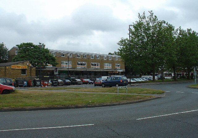
Crawley
Settlement in Sussex Crawley
England
Crawley
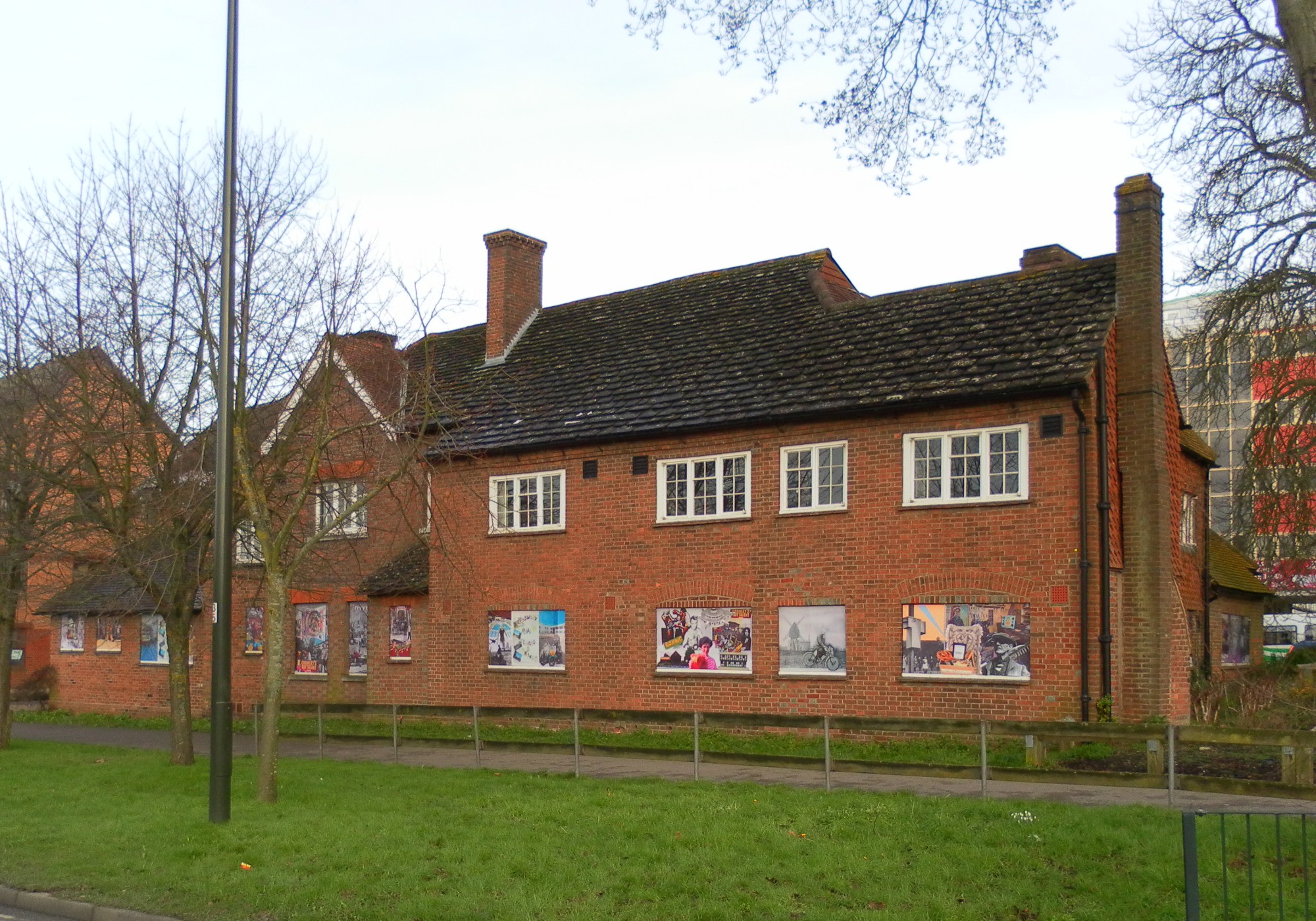
Crawley is a town located in the county of Sussex, in the southern region of England. Situated approximately 28 miles south of London, it falls within the administrative area of West Sussex. With a population of around 111,000 people, it is the largest town in the county.
Crawley has a rich history that dates back to the Roman times, with evidence of settlements found in the area. However, it was during the 1940s that Crawley experienced significant growth and development, mainly due to its strategic location near London and the expansion of the Gatwick Airport nearby.
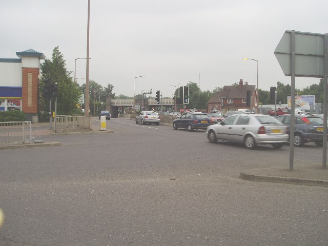
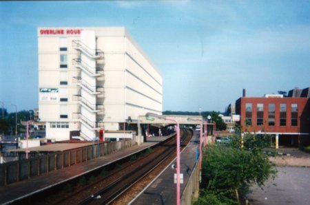
The town is known for its excellent transportation links, with the M23 motorway passing through it, providing easy access to London and the south coast. Crawley also boasts a well-connected railway station, which offers regular services to various destinations, including London, Brighton, and Gatwick Airport.
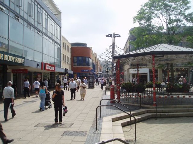
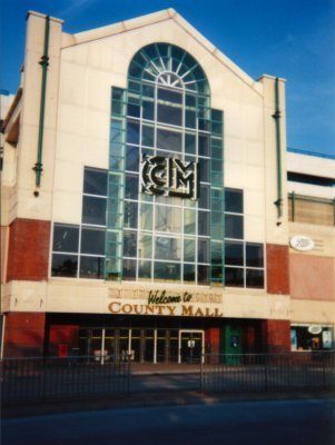
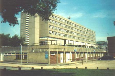
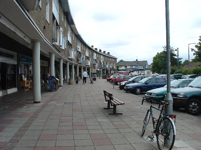
Crawley is home to a diverse range of industries, including aviation, retail, and business services. Gatwick Airport, one of the busiest airports in the UK, is a major employer in the area and has contributed to Crawley's economic prosperity. Additionally, the town has a thriving retail sector, with several shopping centers and retail parks offering a wide range of shops and amenities.
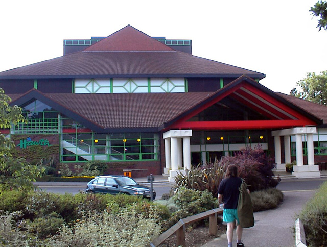
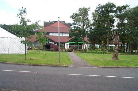
Crawley offers a variety of leisure and recreational activities for residents and visitors alike. It features numerous parks, nature reserves, and green spaces, providing opportunities for outdoor activities and relaxation. The town also has a vibrant cultural scene, with theaters, cinemas, and art galleries showcasing local talent and performances.
Overall, Crawley is a bustling and well-connected town that combines a rich history with modern amenities, making it an attractive place to live, work, and visit in Sussex.
If you have any feedback on the listing, please let us know in the comments section below.
Crawley Images
Images are sourced within 2km of 51.114414/-0.188211 or Grid Reference TQ2636. Thanks to Geograph Open Source API. All images are credited.


Crawley is located at Grid Ref: TQ2636 (Lat: 51.114414, Lng: -0.188211)
Administrative County: West Sussex
District: Crawley
Police Authority: Sussex
What 3 Words
///pinks.mats.boost. Near Crawley, West Sussex
Nearby Locations
Related Wikis

St John the Baptist's Church, Crawley
St John the Baptist's Church is an Anglican church in Crawley, West Sussex, England. It is the parish church of Crawley, and is the oldest building in...

Friary Church of St Francis and St Anthony, Crawley
The Friary Church of St Francis and St Anthony is a Roman Catholic church in Crawley, a town and borough in West Sussex, England. The town's first permanent...
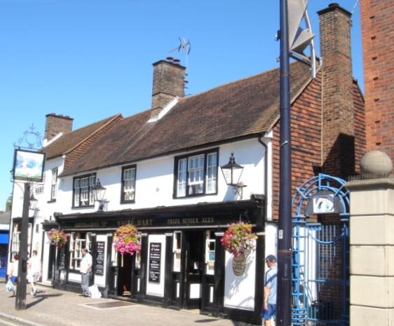
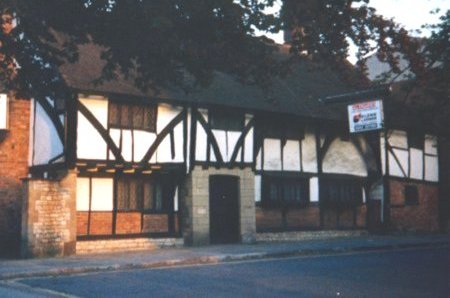
White Hart Inn, Crawley
The White Hart Inn, also known as the White Hart Hotel, is a coaching inn on the High Street in Crawley, a town and borough in West Sussex, England. Built...
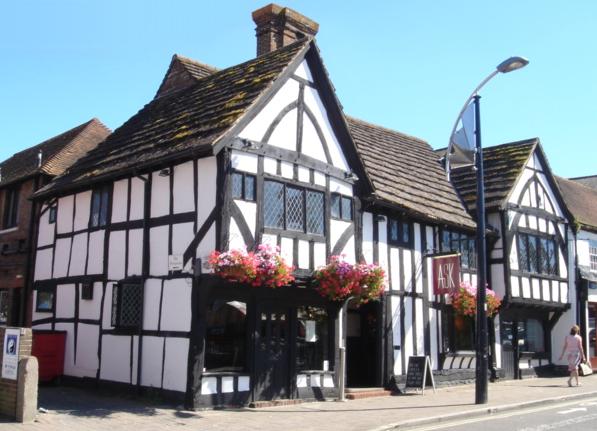
Ancient Priors
The Ancient Priors is a medieval timber-framed hall house on the High Street in Crawley, a town and borough in West Sussex, England. It was built in approximately...
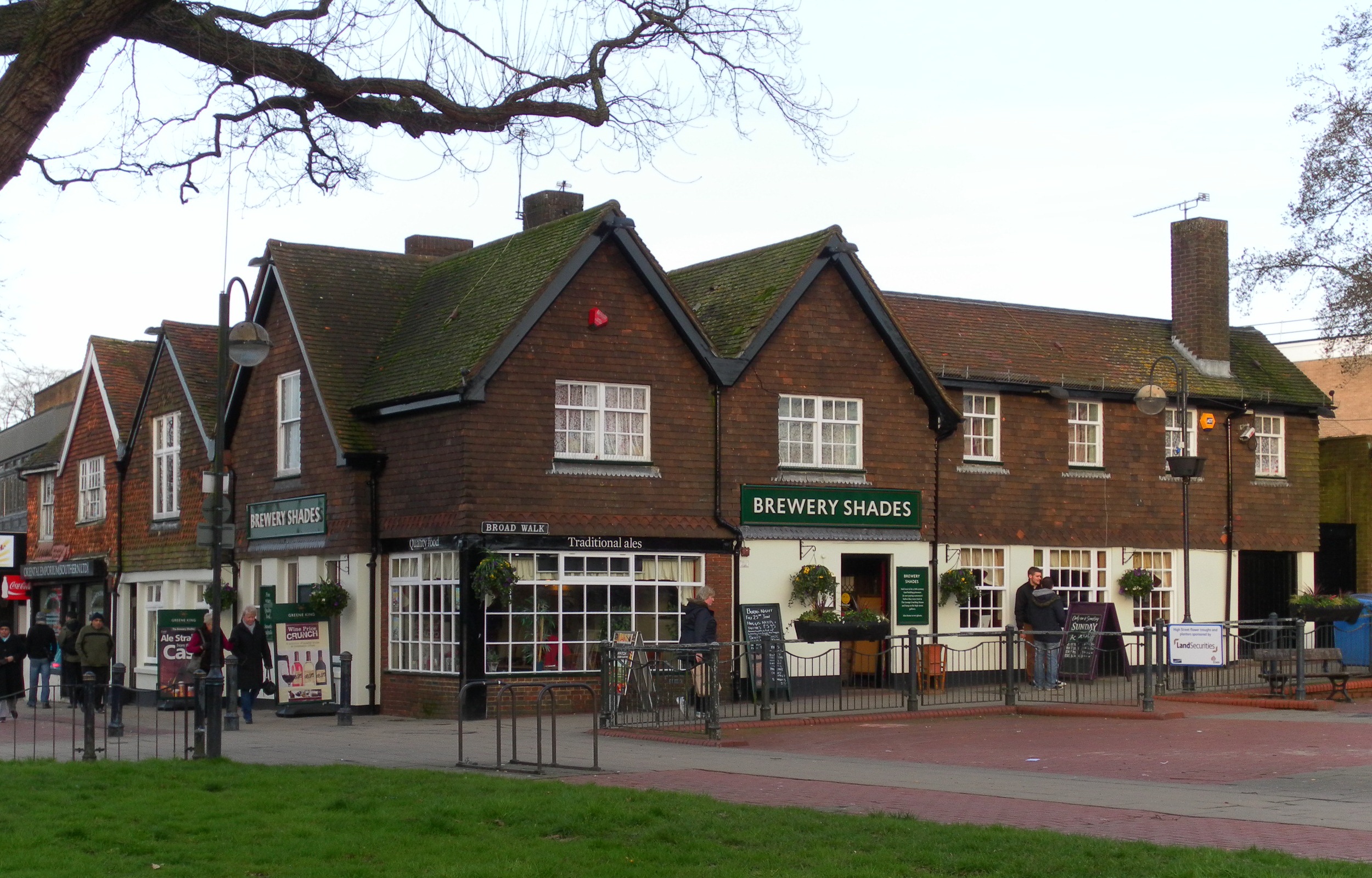
Brewery Shades
The Brewery Shades is a public house on the High Street in Crawley, a town and borough in West Sussex, England. The building, which stands on a corner...

The George Hotel, Crawley
The George Hotel, also known as the George Inn and now marketed as the Ramada Crawley Gatwick, is a hotel and former coaching inn on the High Street in...

Old Punch Bowl
The Old Punch Bowl is a medieval timber-framed Wealden hall house on the High Street in Crawley, a town and borough in West Sussex, England. Built in...
Tree House, Crawley
Tree House, also known as The Tree, is a medieval timber-framed house on the High Street in Crawley, a town and borough in West Sussex, England. It is...
Nearby Amenities
Located within 500m of 51.114414,-0.188211Have you been to Crawley?
Leave your review of Crawley below (or comments, questions and feedback).