Crawley

Settlement in Dorset East Devon

England

Crawley

Metal Gate to a Field A metal gate into a field viewed from a minor road situated west of Chard and near Deerham's Farm in East Devon.
Metal Gate to a Field Credit: John P Reeves

Crawley is a small village located in the county of Dorset, England. Situated approximately 10 miles north of the county town of Dorchester, it is nestled within the picturesque countryside of the region. With a population of around 400 residents, Crawley offers a peaceful and close-knit community atmosphere.

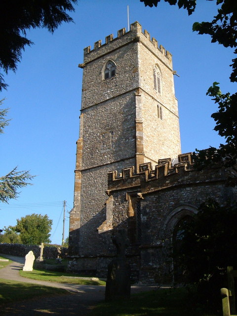
The village dates back to medieval times and is known for its charming thatched cottages and traditional architecture, which add to its rustic charm. St. Mary's Church, a historic Grade I listed building, stands proudly at the heart of the village, serving as a reminder of its rich heritage.

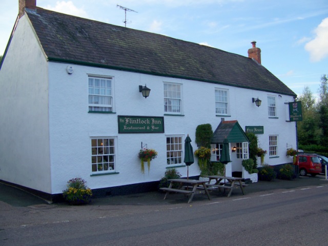
Despite its small size, Crawley boasts a number of amenities to cater to the needs of its residents. The village is home to a pub, The Fox Inn, which serves as a popular gathering spot for locals. Additionally, there is a small village hall that hosts various community events and activities throughout the year, fostering a sense of togetherness and camaraderie.

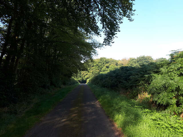
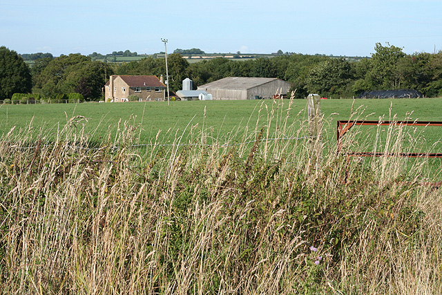
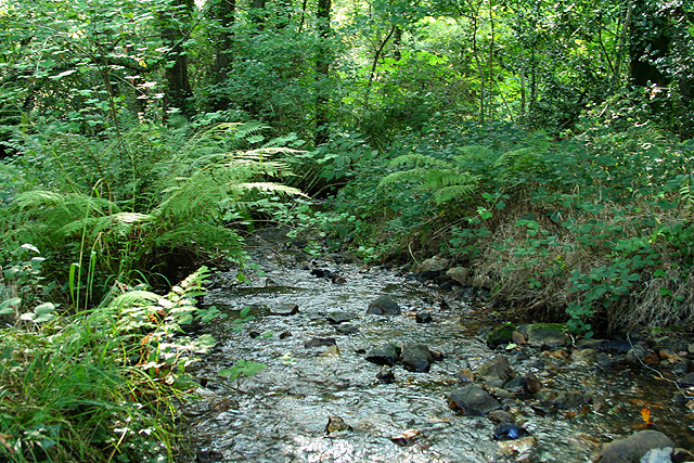
Surrounded by rolling hills and expansive green fields, Crawley offers ample opportunities for outdoor activities such as hiking, cycling, and picnicking. The village is also in close proximity to the scenic Dorset Area of Outstanding Natural Beauty, allowing residents and visitors to explore the stunning landscapes and wildlife of the region.

Overall, Crawley, Dorset is a tranquil and idyllic village that exudes a sense of history and community. It is a place where residents can enjoy a peaceful countryside lifestyle while still being within easy reach of larger towns and cities.

If you have any feedback on the listing, please let us know in the comments section below.

Crawley Images

Images are sourced within 2km of 50.867147/-3.0447103 or Grid Reference ST2608. Thanks to Geograph Open Source API. All images are credited.

Metal Gate to a Field A metal gate into a field viewed from a minor road situated west of Chard and near Deerham's Farm in East Devon.
Metal Gate to a Field
A metal gate into a field viewed from a minor road situated west of Chard and near Deerham's Farm in East Devon.
Cyclist, country lane near Wambrook
Minor road towards New Plantation
Channel to Channel (185) Here are the road and footbridge at Laps Water.  For another view see <a title="https://www.geograph.org.uk/photo/2862558" href="https://www.geograph.org.uk/photo/2862558">Link</a>.
Channel to Channel (185)
Here are the road and footbridge at Laps Water. For another view see Link.
Howley Ford This ford is found beside Lapwater Farm at Howley.
Howley Ford
This ford is found beside Lapwater Farm at Howley.
Turnpike Caravan Park A view looking to the southwest at the entrance to the Turnpike Caravan Park, showing the novel brick stagecoach and the arrivals area.
Turnpike Caravan Park
A view looking to the southwest at the entrance to the Turnpike Caravan Park, showing the novel brick stagecoach and the arrivals area.
Turnpike Caravan Park A view looking to the north to the touring caravans and a solitary tent at the Turnpike Caravan Park. The amenities building is at the right.
Turnpike Caravan Park
A view looking to the north to the touring caravans and a solitary tent at the Turnpike Caravan Park. The amenities building is at the right.
Yarcombe: footpath through maize A public path has been left through a corn crop. Looking south-south-east
Yarcombe: footpath through maize
A public path has been left through a corn crop. Looking south-south-east
Yarcombe: Chaffhay Farm The slate roof perhaps indicates an extension to the original building. Looking south-south-east
Yarcombe: Chaffhay Farm
The slate roof perhaps indicates an extension to the original building. Looking south-south-east
Yarcombe: the Yarty valley Seen from Pound Lane. Looking east-north-east. Out beyond the square, up on the right, is Gilletts Farm
Yarcombe: the Yarty valley
Seen from Pound Lane. Looking east-north-east. Out beyond the square, up on the right, is Gilletts Farm
Yarcombe: towards Underdown Looking west-south-west from Pound Lane. Unseen in the wood on the right skyline, and beyond the square, the A30 climbs up from Yarcombe village to join the A303 Trunk Road in Upottery, the next parish
Yarcombe: towards Underdown
Looking west-south-west from Pound Lane. Unseen in the wood on the right skyline, and beyond the square, the A30 climbs up from Yarcombe village to join the A303 Trunk Road in Upottery, the next parish
Yarcombe: by Bridge Meadow Looking north. Beyond the gate on the right a public footpath runs along the Yarty valley to Howley
Yarcombe: by Bridge Meadow
Looking north. Beyond the gate on the right a public footpath runs along the Yarty valley to Howley
Yarcombe: filling station Looking east-south-east on the A30 Trunk Road. Yarcombe Coachworks stands in the fork between the main road and the lane to Crawley
Yarcombe: filling station
Looking east-south-east on the A30 Trunk Road. Yarcombe Coachworks stands in the fork between the main road and the lane to Crawley
Yarcombe: bridge over the Yarty The river is crossed on the skew and the bridge appears to be of recent construction. The road from Howley leads to Sheafhayne Cross. Looking west
Yarcombe: bridge over the Yarty
The river is crossed on the skew and the bridge appears to be of recent construction. The road from Howley leads to Sheafhayne Cross. Looking west
Yarcombe: on Cleave Hill Looking north-north-east
Yarcombe: on Cleave Hill
Looking north-north-east
Wambrook: near Wildway House Looking west
Wambrook: near Wildway House
Looking west
Wambrook: by Wortheal Cottage Looking east-south-east on an old track to Loomcroft Farm
Wambrook: by Wortheal Cottage
Looking east-south-east on an old track to Loomcroft Farm
Wambrook: stream in Bickham Wood Looking south-south-west. The field across the nearby lane is part of an estate under the management of the Somerset Wildlife Trust and is right on the border with Devon
Wambrook: stream in Bickham Wood
Looking south-south-west. The field across the nearby lane is part of an estate under the management of the Somerset Wildlife Trust and is right on the border with Devon
Show me another place!

Crawley is located at Grid Ref: ST2608 (Lat: 50.867147, Lng: -3.0447103)

Administrative County: Devon

District: East Devon

Police Authority: Devon and Cornwall

What 3 Words

///gifts.backyards.narrow. Near Chard, Somerset

Related Wikis

Horse Pool Camp

Horse Pool Camp is a univallate Iron Age hill fort enclosure in the South Somerset district of Somerset, England. It is also known as Whitestaunton Camp...

Yarcombe

Yarcombe is a village and civil parish in the county of Devon, England, situated in the East Devon administrative district on the A30 road near the towns...

Marsh, Devon

Marsh is a village in the Blackdown Hills, Devon, England. It is part of the East Devon district, and close to the River Yarty and border with Somerset...

Church of St Mary, Wambrook

The Anglican Church of St Mary in Wambrook, Somerset, England, was built in the 13th century. It is a Grade II* listed building. == History == The church...

Whitestaunton

Whitestaunton is a village and civil parish in the South Somerset district of Somerset, England. The parish includes the hamlet of Northay. It was known...

St Andrew's Church, Whitestaunton

The Church of St Andrew in Whitestaunton, Somerset, England, dates from the 13th century and has been designated as a Grade I listed building.The Perpendicular...

Whitestaunton Manor

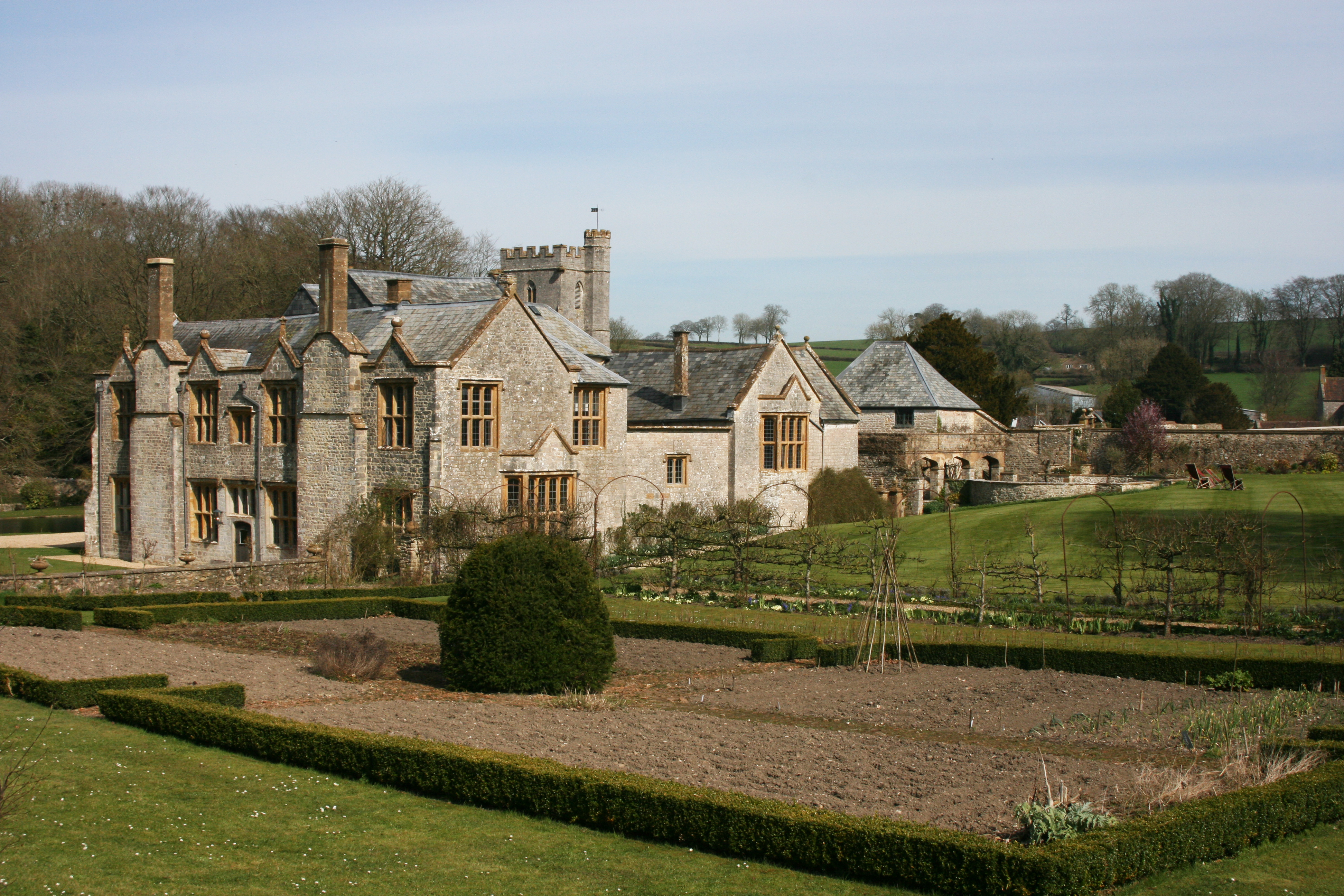
Whitestaunton Manor in the village of Whitestaunton, Somerset, England was built in the 15th century as a Hall house and has been designated as a Grade...

Wambrook

Wambrook is a village and civil parish in the Blackdown Hills, Somerset, England. The village lies about 2 miles (3 km) southwest of the town of Chard...

Nearby Amenities

Located within 500m of 50.867147,-3.0447103
Power: pole
Source: bing
Lat/Long: 50.8681699/-3.0443394
Power: pole
Source: bing
Lat/Long: 50.8678331/-3.0486846
Power: pole
Source: bing
Lat/Long: 50.8677908/-3.0497628
Power: pole
Source: bing
Lat/Long: 50.8677434/-3.0504763
Power: pole
Source: bing
Lat/Long: 50.8678885/-3.0475555
Power: pole
Source: bing
Lat/Long: 50.8683815/-3.0447203
Power: pole
Source: bing
Lat/Long: 50.8681344/-3.0457717
Power: pole
Source: bing
Lat/Long: 50.8679329/-3.0466703
Power: pole
Source: bing
Lat/Long: 50.8630033/-3.0473837
Power: pole
Source: bing
Lat/Long: 50.8634096/-3.0465093
Power: pole
Source: bing
Lat/Long: 50.863821/-3.0456564
Power: pole
Source: bing
Lat/Long: 50.8635223/-3.0445552
Power: pole
Source: bing
Lat/Long: 50.864246/-3.0396643
Power: pole
Source: bing
Lat/Long: 50.863825/-3.0408123
Power: pole
Source: bing
Lat/Long: 50.8633775/-3.041625
Power: pole
Source: bing
Lat/Long: 50.8629289/-3.0424216
Power: pole
Source: bing
Lat/Long: 50.8632268/-3.0435294
Power: pole
Source: bing
Transformer: distribution
Lat/Long: 50.8640056/-3.04122
The data included in this document is from www.openstreetmap.org. The data is made available under ODbL.

Have you been to Crawley?

Leave your review of Crawley below (or comments, questions and feedback).