Back Little Painley Wood

Wood, Forest in Yorkshire Ribble Valley

England

Back Little Painley Wood

Ordnance Survey Cut Mark This mark can be found on a field gatepost beside knot Lane at White Hill.
The benchmark has a recorded height of 153.6954 metres above sea level.
For more detail see : <span class="nowrap"><a title="https://www.bench-marks.org.uk/bm121976" rel="nofollow ugc noopener" href="https://www.bench-marks.org.uk/bm121976">Link</a><img style="margin-left:2px;" alt="External link" title="External link - shift click to open in new window" src="https://s1.geograph.org.uk/img/external.png" width="10" height="10"/></span>
Ordnance Survey Cut Mark Credit: Peter Wood

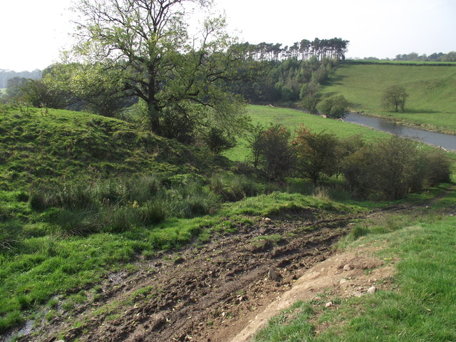
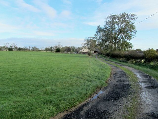
Back Little Painley Wood is a charming woodland located in Yorkshire, England. Spanning over several hectares, this forested area is known for its tranquil and picturesque surroundings. It is situated near the village of Little Painley, making it easily accessible for both locals and visitors.

The wood is predominantly made up of native tree species, such as oak, beech, and birch, which provide a rich and diverse habitat for wildlife. The dense canopy of the woods creates a cool and shaded environment, perfect for a peaceful stroll or a picnic amidst nature.

Back Little Painley Wood boasts a variety of flora and fauna, with an array of wildflowers, ferns, and mosses carpeting the forest floor. This biodiversity attracts numerous bird species, including woodpeckers, thrushes, and owls, making it a paradise for birdwatchers and nature enthusiasts.

Walking trails wind through the wood, allowing visitors to explore its hidden gems and discover the beauty that lies within. The paths are well-maintained and suitable for all ages, making it an ideal destination for families and individuals seeking a retreat from the hustle and bustle of everyday life.

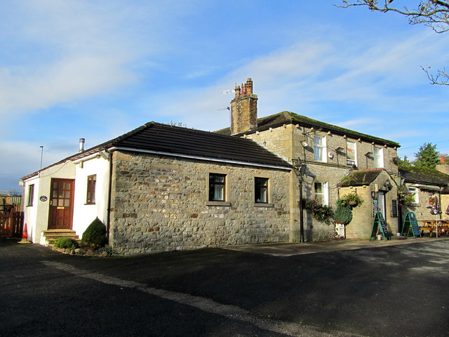
While the wood itself is a fascinating natural attraction, the surrounding area also offers additional points of interest. Nearby villages boast charming cottages, traditional pubs, and quaint tea rooms, providing opportunities to experience the local culture and hospitality.

Overall, Back Little Painley Wood is a delightful destination for those seeking a peaceful and scenic woodland experience. Its unspoiled beauty and abundant wildlife make it a must-visit location for nature lovers and anyone looking to immerse themselves in the serenity of the English countryside.

If you have any feedback on the listing, please let us know in the comments section below.

Back Little Painley Wood Images

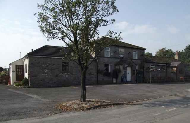
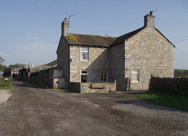
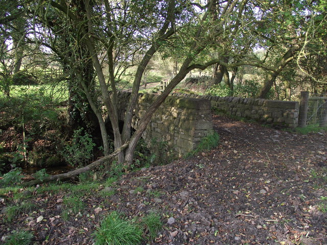
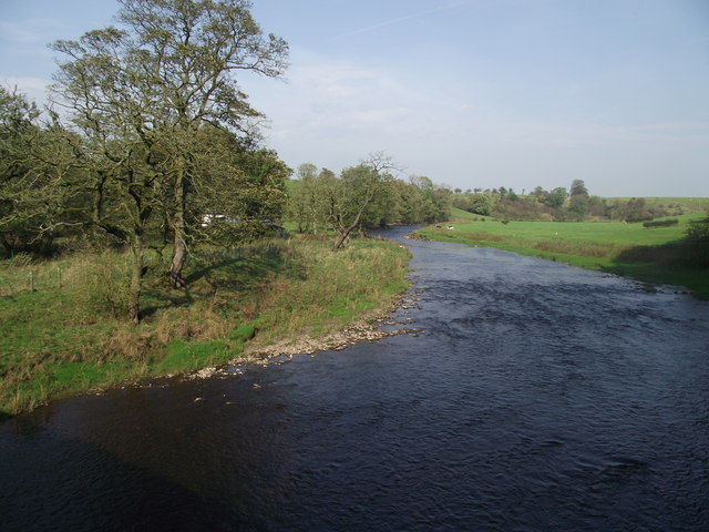
Images are sourced within 2km of 53.948336/-2.2658075 or Grid Reference SD8250. Thanks to Geograph Open Source API. All images are credited.

Ordnance Survey Cut Mark This mark can be found on a field gatepost beside knot Lane at White Hill.
The benchmark has a recorded height of 153.6954 metres above sea level.
For more detail see : <span class="nowrap"><a title="https://www.bench-marks.org.uk/bm121976" rel="nofollow ugc noopener" href="https://www.bench-marks.org.uk/bm121976">Link</a><img style="margin-left:2px;" alt="External link" title="External link - shift click to open in new window" src="https://s1.geograph.org.uk/img/external.png" width="10" height="10"/></span>
Ordnance Survey Cut Mark
This mark can be found on a field gatepost beside knot Lane at White Hill. The benchmark has a recorded height of 153.6954 metres above sea level. For more detail see : LinkExternal link
Ordnance Survey Cut Mark This mark can be found on the parapet wall of Paythorne Bridge
The benchmark has a recorded height of 104.7627 metres above sea level.
For more detail see : <span class="nowrap"><a title="https://www.bench-marks.org.uk/bm45450" rel="nofollow ugc noopener" href="https://www.bench-marks.org.uk/bm45450">Link</a><img style="margin-left:2px;" alt="External link" title="External link - shift click to open in new window" src="https://s1.geograph.org.uk/img/external.png" width="10" height="10"/></span>
Ordnance Survey Cut Mark
This mark can be found on the parapet wall of Paythorne Bridge The benchmark has a recorded height of 104.7627 metres above sea level. For more detail see : LinkExternal link
Ordnance Survey Cut Mark This mark can be found beside the doorway to Paythorne Methodist Church.
The benchmark has a recorded height of 132.7892 metres above sea level.
For more detail see : <span class="nowrap"><a title="https://www.bench-marks.org.uk/bm101370" rel="nofollow ugc noopener" href="https://www.bench-marks.org.uk/bm101370">Link</a><img style="margin-left:2px;" alt="External link" title="External link - shift click to open in new window" src="https://s1.geograph.org.uk/img/external.png" width="10" height="10"/></span>
Ordnance Survey Cut Mark
This mark can be found beside the doorway to Paythorne Methodist Church. The benchmark has a recorded height of 132.7892 metres above sea level. For more detail see : LinkExternal link
Paythorne Methodist Chapel Paythorne Methodist Church is the only church building in the small hamlet of Paythorne and is Grade 2 listed, dating from 1830.
Paythorne Methodist Chapel
Paythorne Methodist Church is the only church building in the small hamlet of Paythorne and is Grade 2 listed, dating from 1830.
Ordnance Survey Cut Mark This mark can be found on the wall of St Mary's Church, Gisburn
The benchmark has a recorded height of 138.3304 metres above sea level.
For more detail see : <span class="nowrap"><a title="https://www.bench-marks.org.uk/bm36317" rel="nofollow ugc noopener" href="https://www.bench-marks.org.uk/bm36317">Link</a><img style="margin-left:2px;" alt="External link" title="External link - shift click to open in new window" src="https://s1.geograph.org.uk/img/external.png" width="10" height="10"/></span>
Ordnance Survey Cut Mark
This mark can be found on the wall of St Mary's Church, Gisburn The benchmark has a recorded height of 138.3304 metres above sea level. For more detail see : LinkExternal link
Delicious Deli and Café - Gisburn
Fields East of Gisburn
West Portal Gisburne Park  Railway Tunnel A cut and cover short tunnel required by the landowner and decorated appropriately. The turrets of the east portal can be seen as well across this part of Gisburne Park
West Portal Gisburne Park Railway Tunnel
A cut and cover short tunnel required by the landowner and decorated appropriately. The turrets of the east portal can be seen as well across this part of Gisburne Park
Gisburne Park Railway Tunnel Turrets A curious view of mock castle turrets in parkland, disguising a railway line
Gisburne Park Railway Tunnel Turrets
A curious view of mock castle turrets in parkland, disguising a railway line
Old milestone This milestone which would have stood at the southeast corner of the A59/B6265 Bracewll Lane is now built into steps at the back of the White Bull PH in Gisburn.  This face is engraved with a hand pointing left/To/SKipton/9 Miles/hand pointing right/Gisbor(n)/2 Ms.  The other visible face is engraved with a hand pointing left To/Settle 11 ms/hand to right/Colne 7 ms.
Old milestone
This milestone which would have stood at the southeast corner of the A59/B6265 Bracewll Lane is now built into steps at the back of the White Bull PH in Gisburn. This face is engraved with a hand pointing left/To/SKipton/9 Miles/hand pointing right/Gisbor(n)/2 Ms. The other visible face is engraved with a hand pointing left To/Settle 11 ms/hand to right/Colne 7 ms.
Gisburne Park Entrance Lodges At the south entrance at the end of Park Road from the centre of Gisburn
Gisburne Park Entrance Lodges
At the south entrance at the end of Park Road from the centre of Gisburn
The Buck, Paythorne The inn is typical of many country pubs in that its main source of income now seems to be from dining rather than drinking.
The Buck, Paythorne
The inn is typical of many country pubs in that its main source of income now seems to be from dining rather than drinking.
Manor House Farmhouse, Paythorne The farmers, Mr. and Mrs. Calvert, have a herd of 180 pedigree Holstein cows. The farm featured in the October 2011 edition of Lancashire Life magazine.
Manor House Farmhouse, Paythorne
The farmers, Mr. and Mrs. Calvert, have a herd of 180 pedigree Holstein cows. The farm featured in the October 2011 edition of Lancashire Life magazine.
Bridge over a stream near Paythorne Bridge The bridge is part of a public footpath. The stream is only metres away from its confluence with the River Ribble
Bridge over a stream near Paythorne Bridge
The bridge is part of a public footpath. The stream is only metres away from its confluence with the River Ribble
River Ribble at Paythorne Bridge Looking north east.
River Ribble at Paythorne Bridge
Looking north east.
Looking down to the Ribble From the Ribble Way. Heavy vehicles have recently churned up the ground.
Looking down to the Ribble
From the Ribble Way. Heavy vehicles have recently churned up the ground.
Buck Inn, Paythorne Local hostelry that serves the community of Paythorne
Buck Inn, Paythorne
Local hostelry that serves the community of Paythorne
Access Lane leading to Loftrans Part of Loftrans Lane, giving access to the photographed dwelling
Access Lane leading to Loftrans
Part of Loftrans Lane, giving access to the photographed dwelling
Show me another place!

Back Little Painley Wood is located at Grid Ref: SD8250 (Lat: 53.948336, Lng: -2.2658075)

Division: West Riding

Administrative County: Lancashire

District: Ribble Valley

Police Authority: Lancashire

What 3 Words

///corrupted.bluff.loafer. Near Barnoldswick, Lancashire

Related Wikis

Nearby Amenities

Located within 500m of 53.948336,-2.2658075
barrow
Archaeological Site: tumulus
Historic: archaeological_site
Source: NPE
Lat/Long: 53.9468982/-2.26284
The data included in this document is from www.openstreetmap.org. The data is made available under ODbL.

Have you been to Back Little Painley Wood?

Leave your review of Back Little Painley Wood below (or comments, questions and feedback).