Alderton Grove
Wood, Forest in Wiltshire
England
Alderton Grove

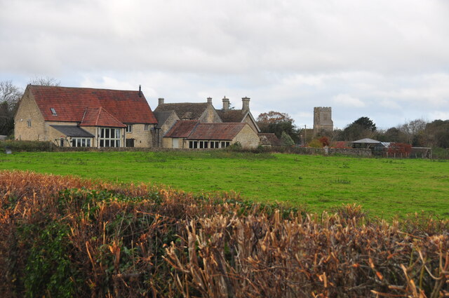
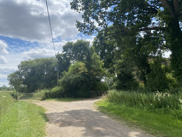
Alderton Grove is a picturesque woodland located in the county of Wiltshire, England. Situated near the village of Alderton, it spans over an area of approximately 100 hectares. The grove is known for its dense and ancient forest, consisting primarily of oak, beech, and ash trees, which have been thriving for centuries.
The woodland is a haven for wildlife, providing a diverse habitat for numerous species. It is home to a variety of bird species, including woodpeckers, owls, and warblers, which can be heard chirping and singing throughout the year. The forest floor is also teeming with life, with a rich array of wildflowers, ferns, and fungi adding to the vibrant ecosystem.
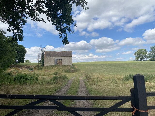
Alderton Grove offers a tranquil and serene environment, making it a popular destination for nature enthusiasts and hikers. Several walking trails wind their way through the woods, allowing visitors to explore and immerse themselves in the natural beauty of the area. The grove also features a small picnic area, where visitors can relax and enjoy the peaceful surroundings.
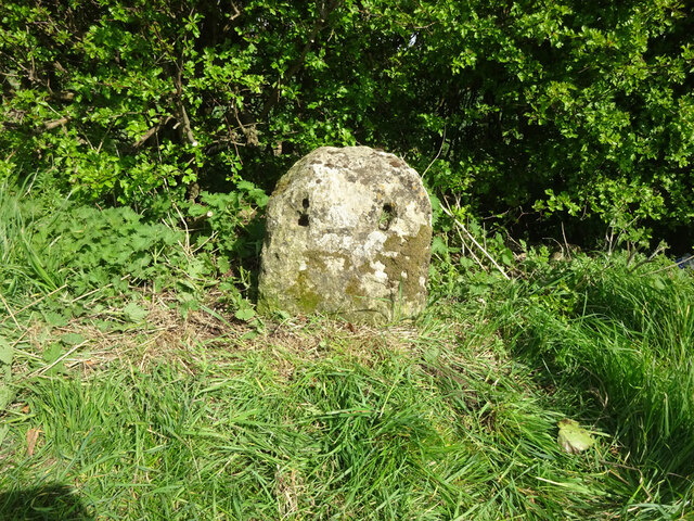
The woodland has a rich history, with evidence of human activity dating back thousands of years. Archaeological remains, such as ancient burial mounds and stone tools, have been discovered in the area, providing insights into the lives of the people who lived here in the past.
Alderton Grove is a cherished natural gem in Wiltshire, attracting visitors who seek solace in its tranquil atmosphere and marvel at the awe-inspiring beauty of the ancient woodland.
If you have any feedback on the listing, please let us know in the comments section below.
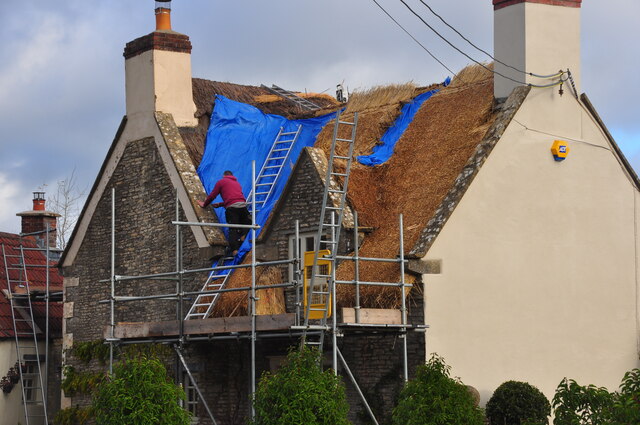
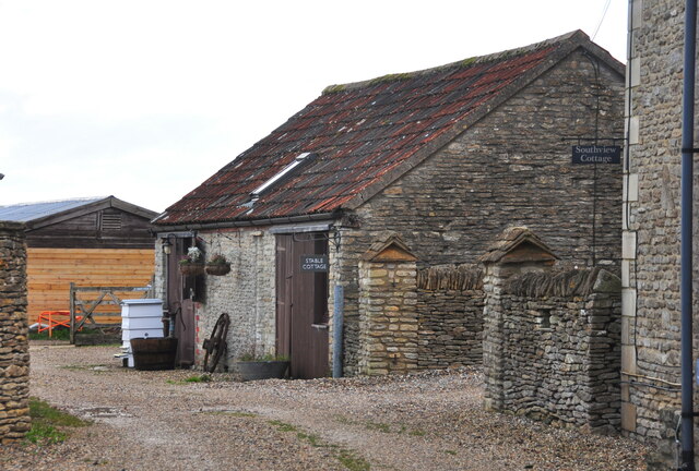
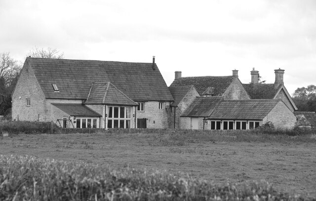
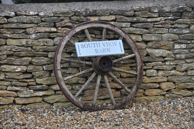
Alderton Grove Images
Images are sourced within 2km of 51.530042/-2.2516631 or Grid Reference ST8281. Thanks to Geograph Open Source API. All images are credited.


Alderton Grove is located at Grid Ref: ST8281 (Lat: 51.530042, Lng: -2.2516631)
Unitary Authority: Wiltshire
Police Authority: Wiltshire
What 3 Words
///corrects.creeps.noon. Near Luckington, Wiltshire
Nearby Locations
Related Wikis

Badminton railway station
Badminton railway station is a closed railway station in Gloucestershire, England on the line between Wootton Bassett to the east, and Patchway and Filton...

Acton Turville
Acton Turville is a parish in the Cotswold Edge ward within South Gloucestershire, England. It lies 17 miles (27 km) east-northeast of Bristol and 93 miles...

Burton, Nettleton
Burton is a small village in the Cotswolds Area of Outstanding Natural Beauty in Wiltshire, England. Kelly's 1915 Directory of Wiltshire identifies Burton...
Alderton, Wiltshire
Alderton is a village and former civil parish, now in the parish of Luckington, in Wiltshire, England, 6 miles (9.7 km) southwest of Malmesbury. In 1931...

Alderton Tunnel
The Alderton Tunnel sits on the South Wales Main Line in England, on a stretch of line between Swindon and Bristol Parkway. The tunnel, which is 506 yards...

St Michael and All Angels Church, Badminton
St Michael and All Angels is a Grade I listed church on the estate of the Duke of Beaufort in the village of Great Badminton, Gloucestershire, England...

Badminton House
Badminton House is a large country house and Grade I Listed Building in Badminton, Gloucestershire, England, which has been the principal seat of the Dukes...

Badminton, Gloucestershire
Badminton is a village and civil parish in South Gloucestershire, England. The only settlement in the parish is Badminton village, sometimes called Great...
Nearby Amenities
Located within 500m of 51.530042,-2.2516631Have you been to Alderton Grove?
Leave your review of Alderton Grove below (or comments, questions and feedback).